Great Sand Dunes National Park - United States
Discover the RVezy RV rental marketplace
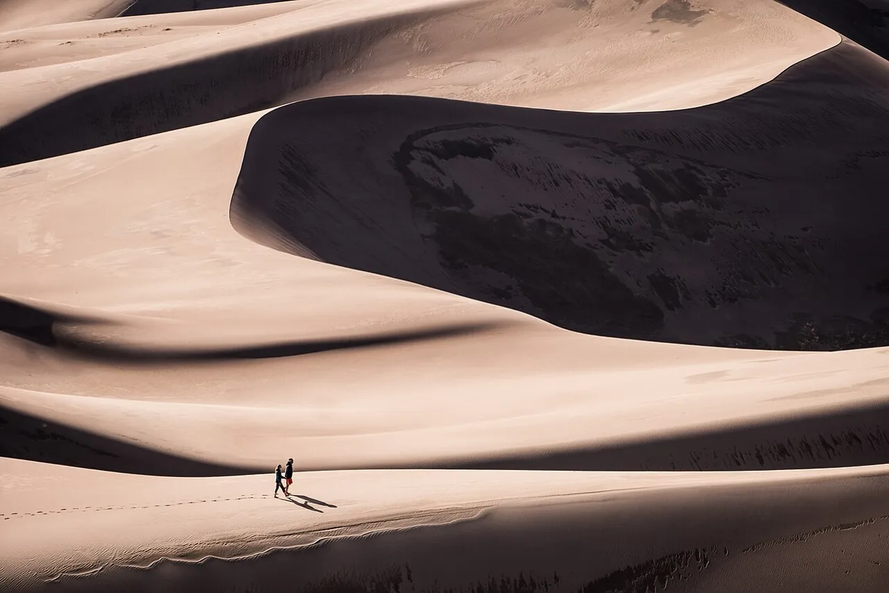
About Great Sand Dunes National Park
RV quick facts for Great Sand Dunes National Park
Featured RV rentals for Great Sand Dunes National Park
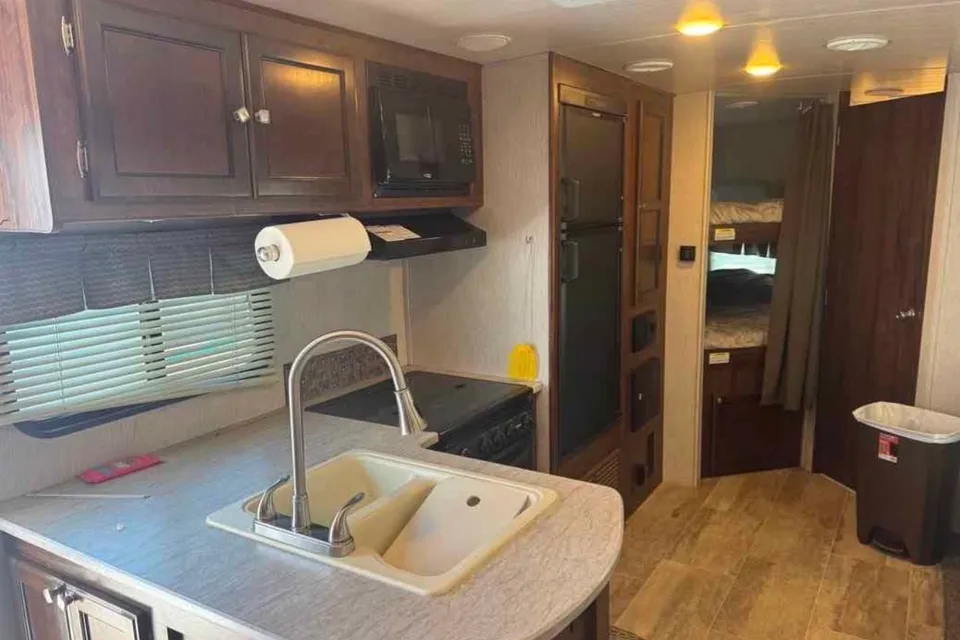
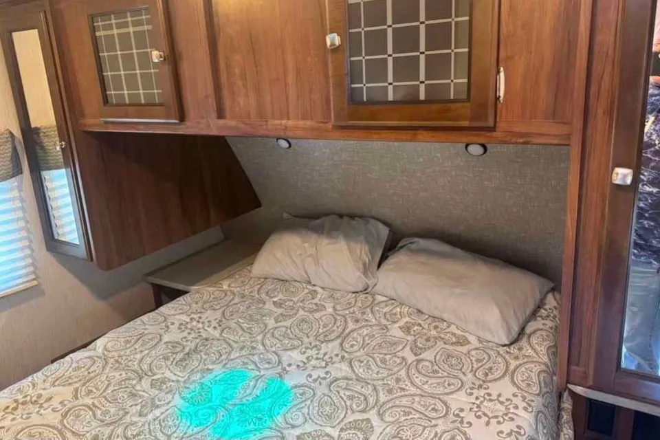

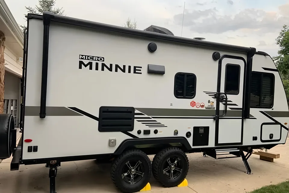
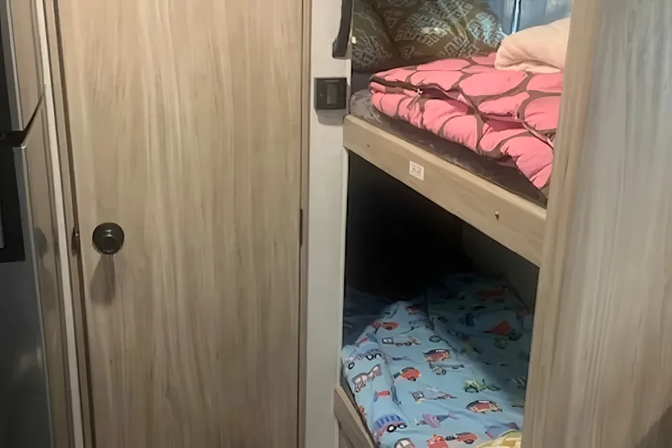
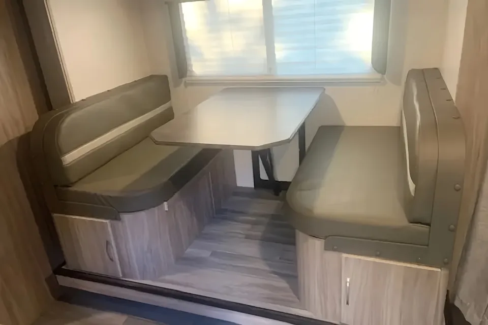
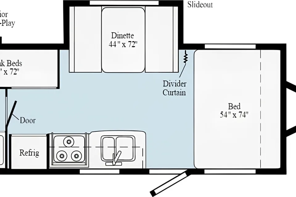
 Superhost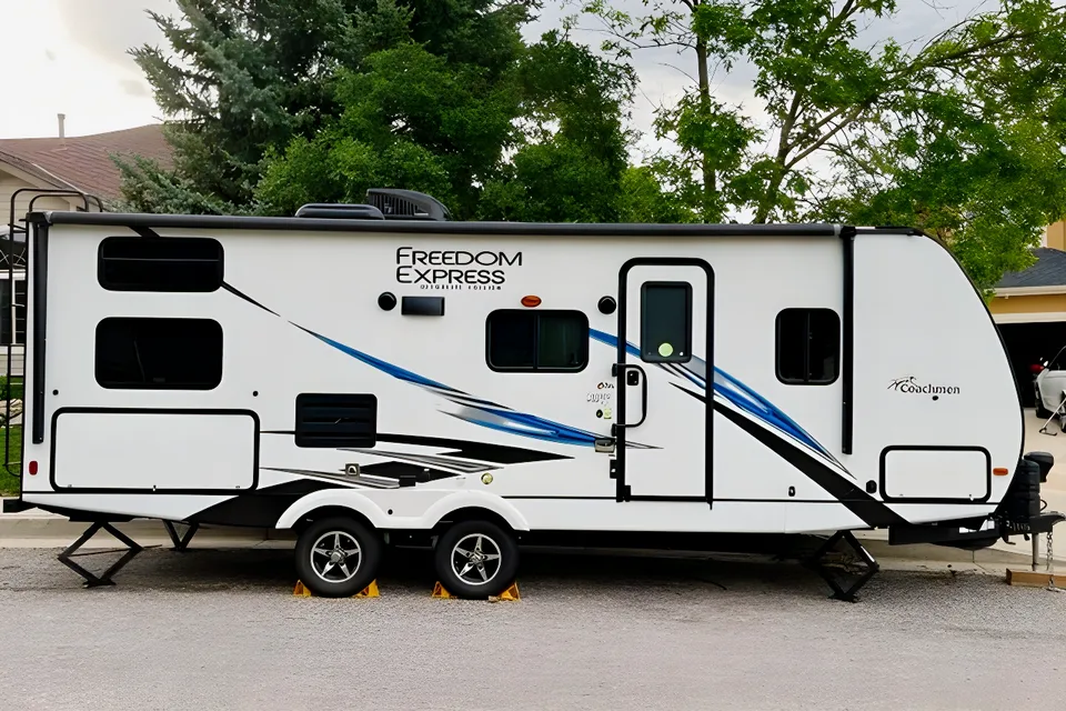
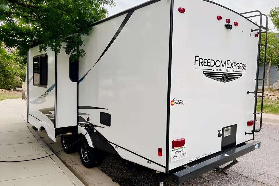
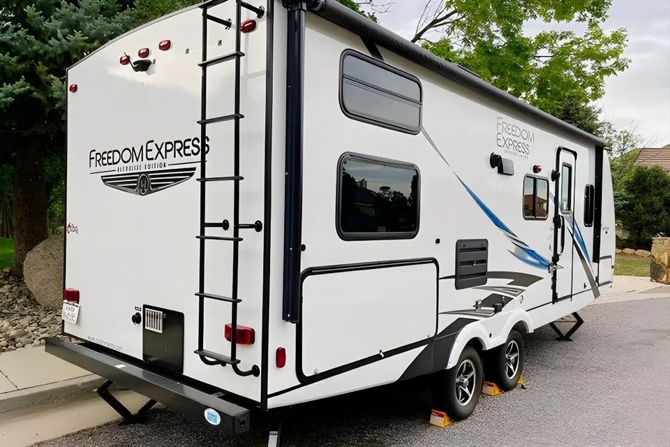
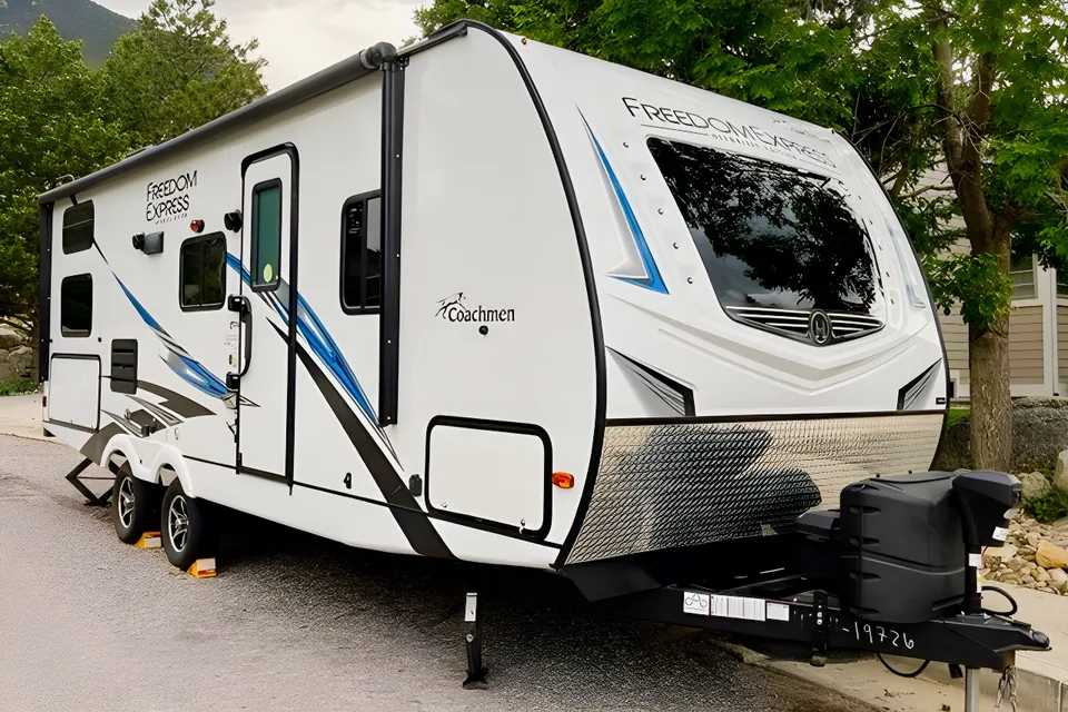
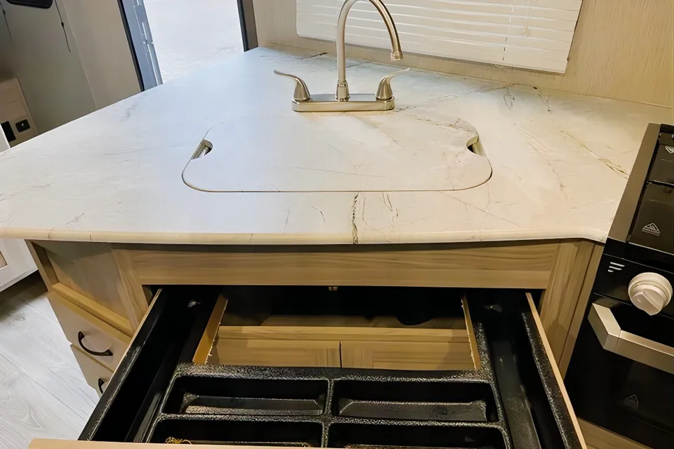
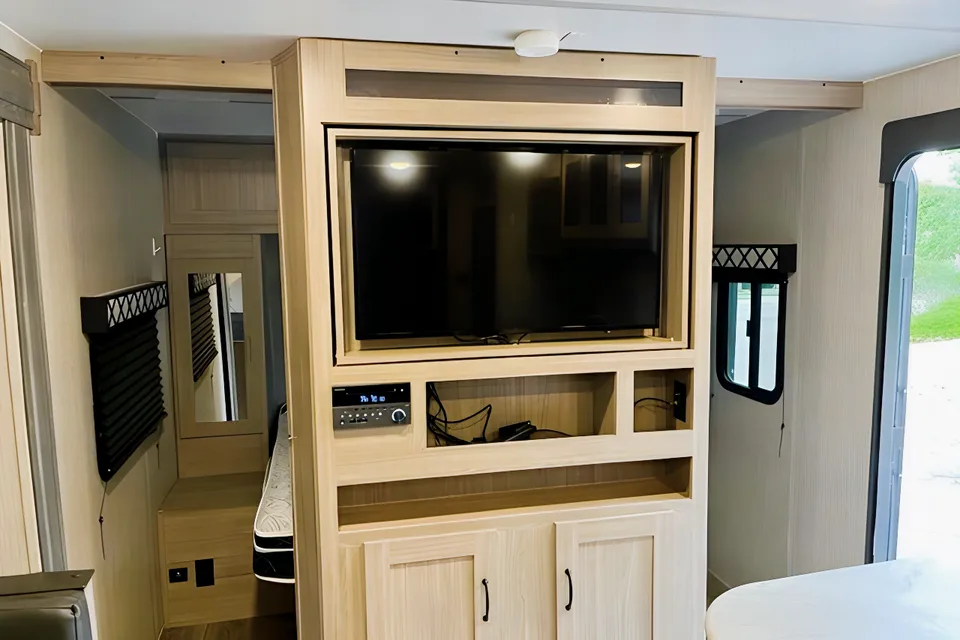
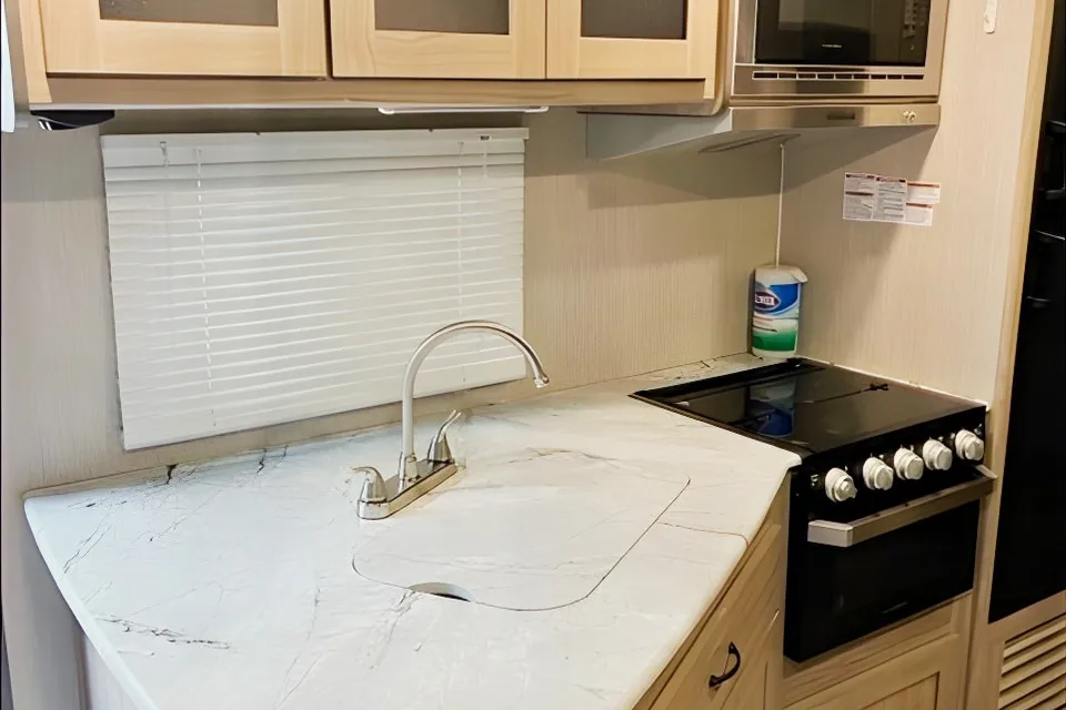
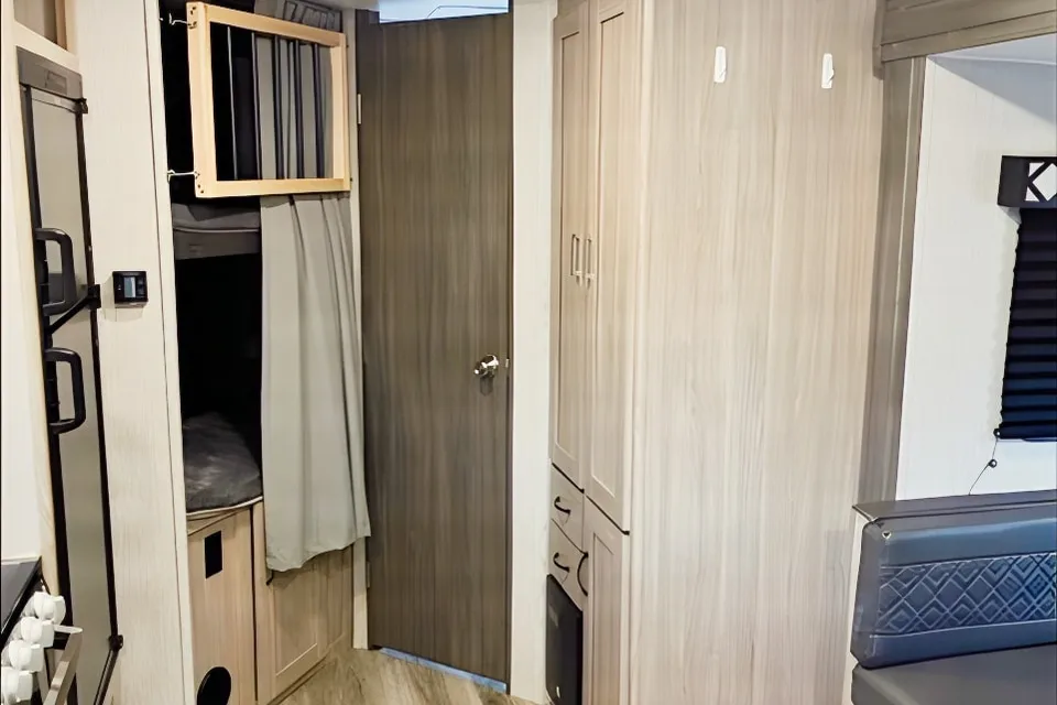
 Superhost

 Instant Book
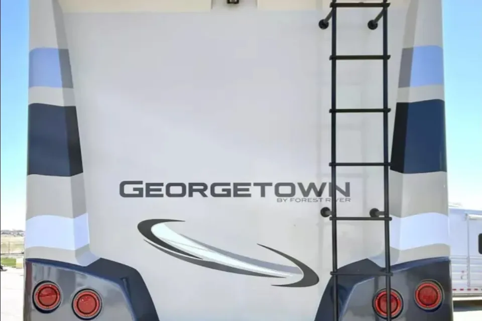
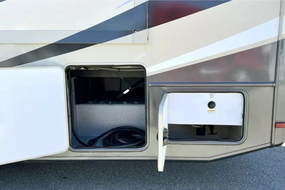
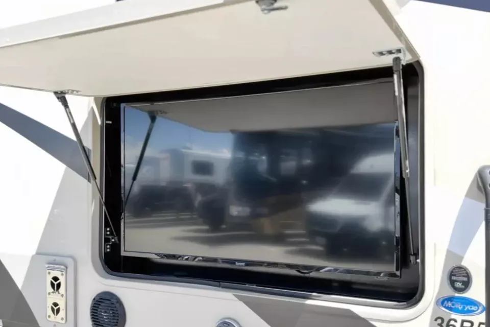
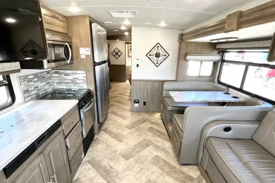
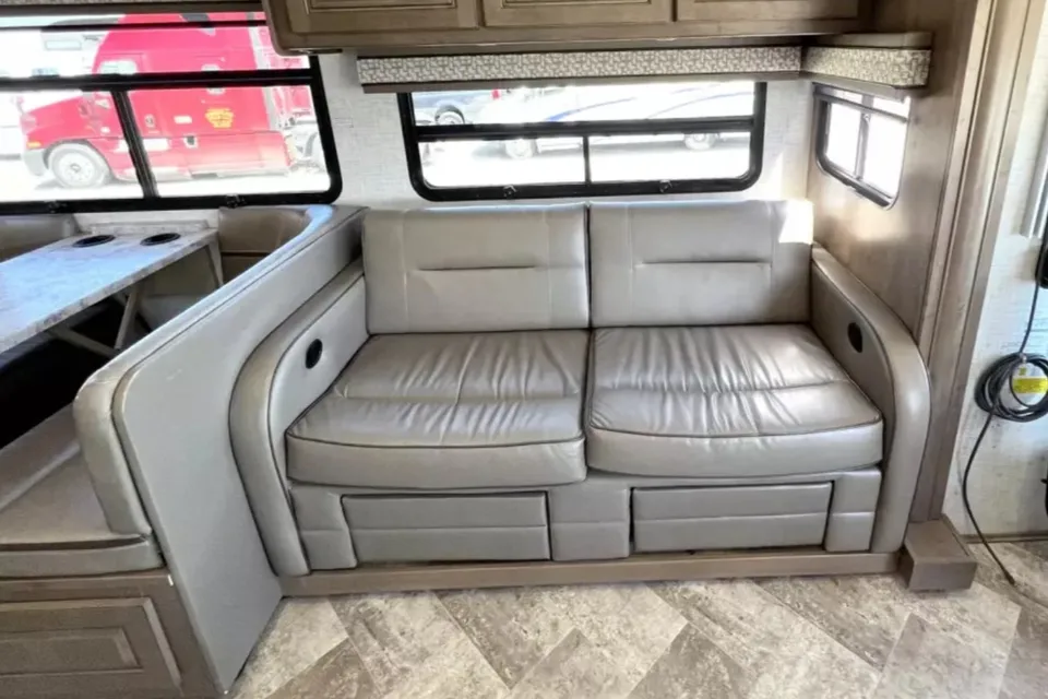
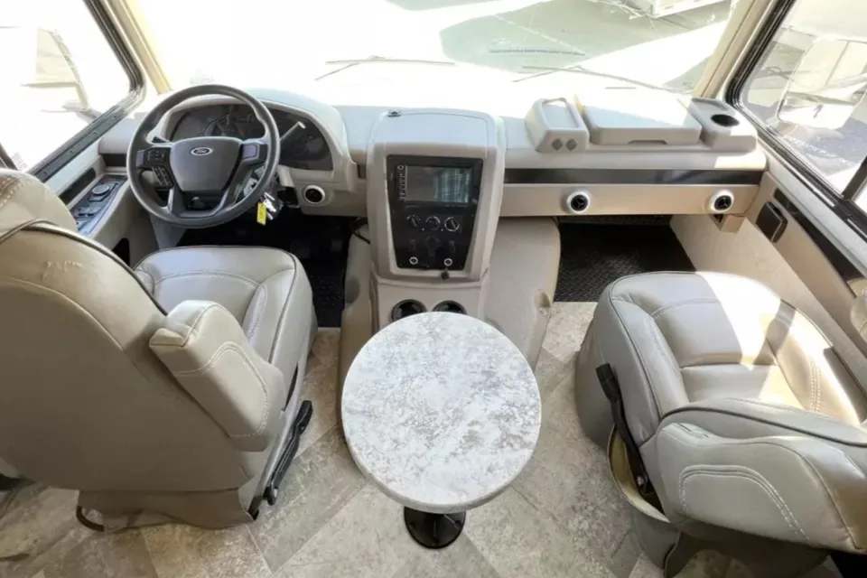
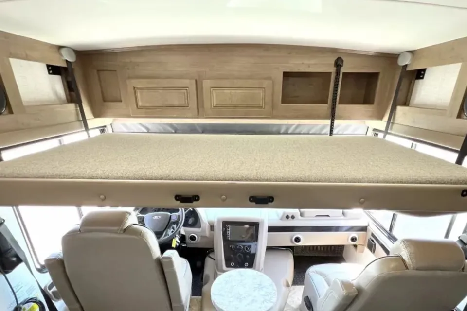
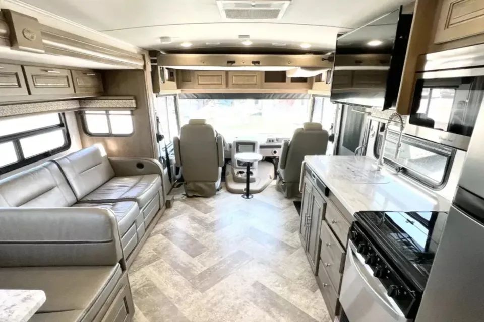
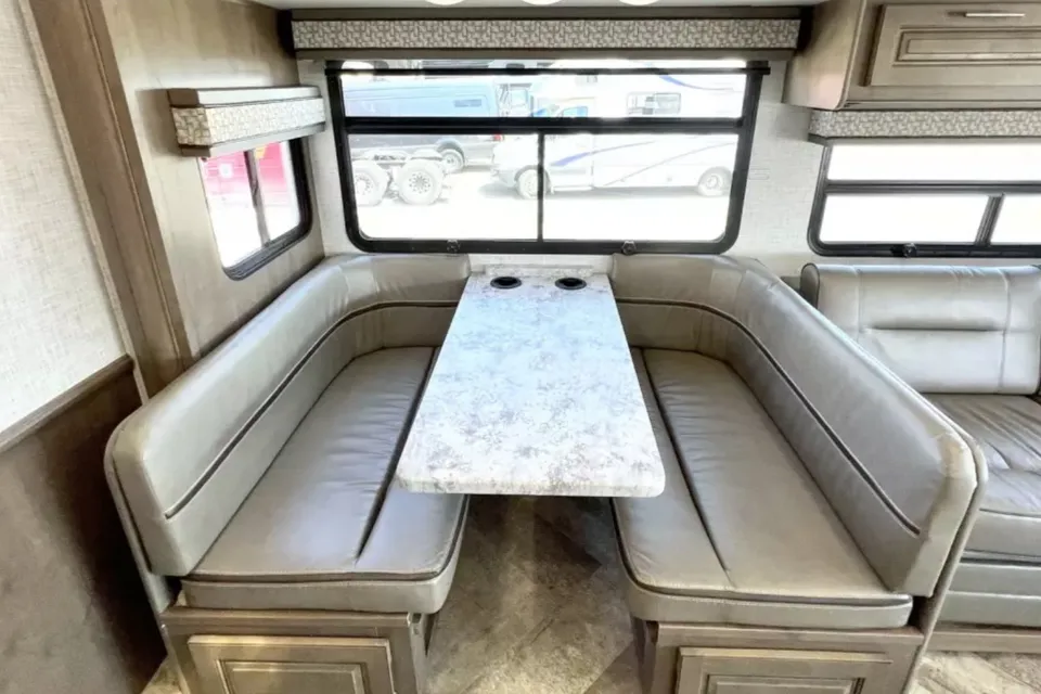
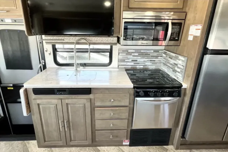
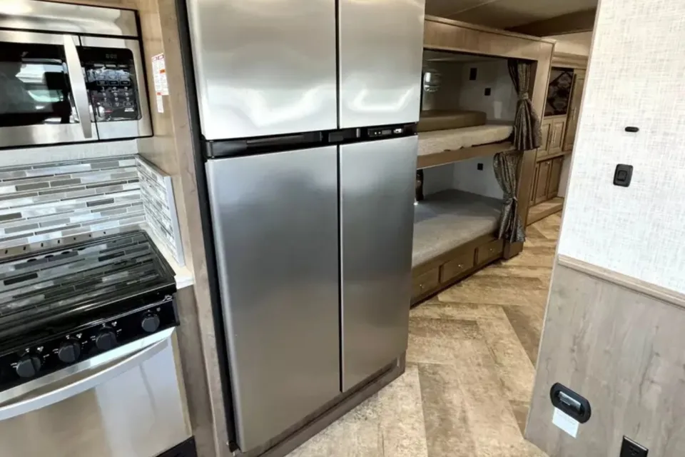
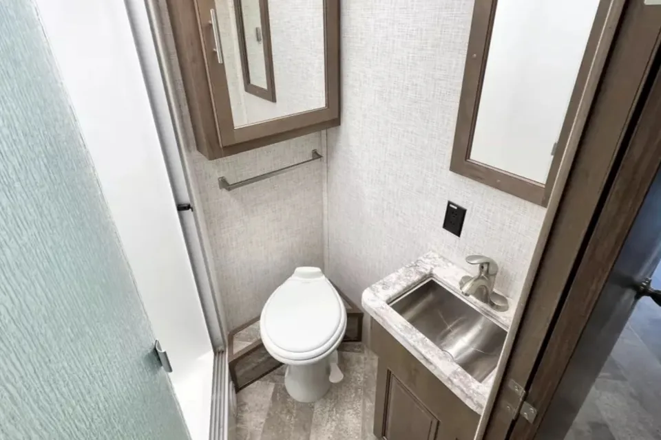
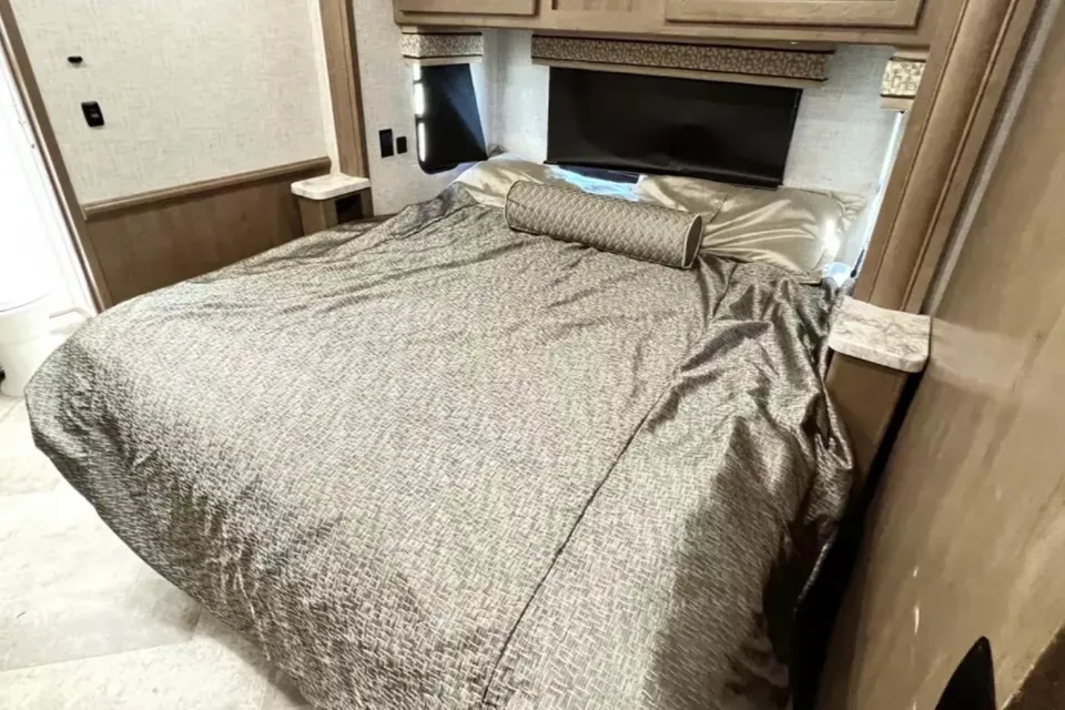
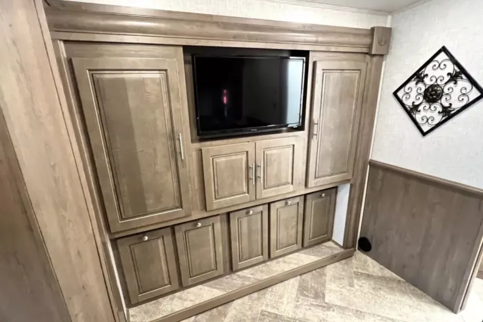
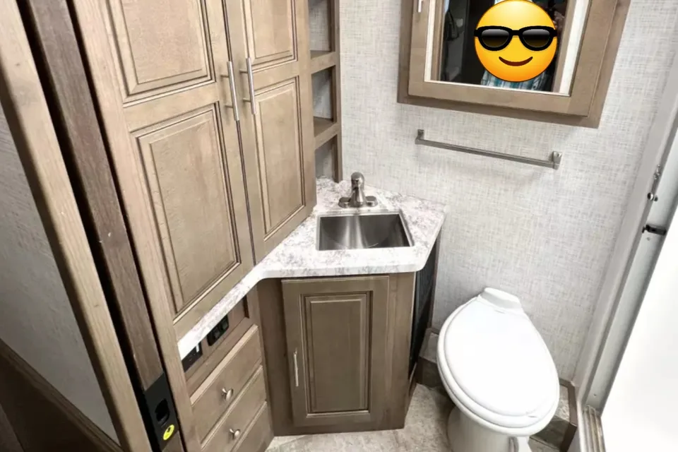
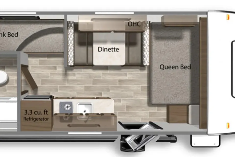

 Superhost
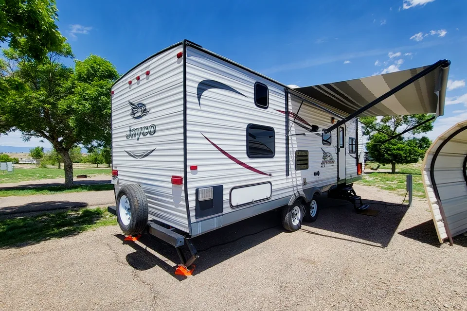
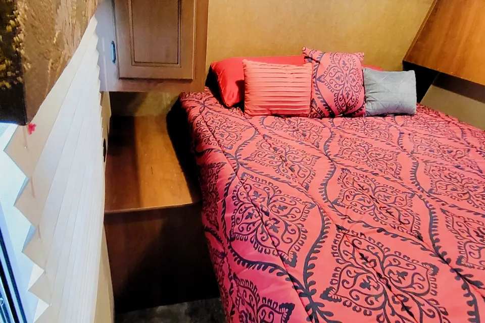
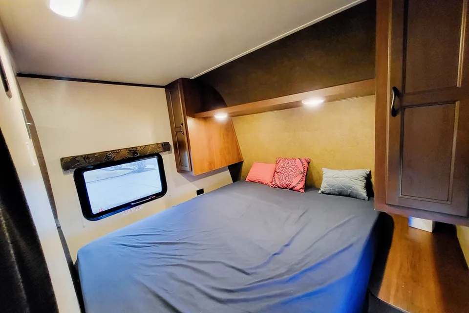
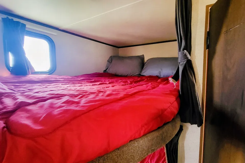
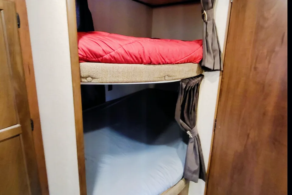
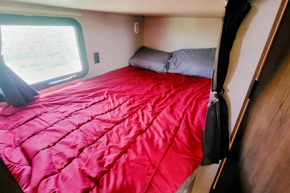
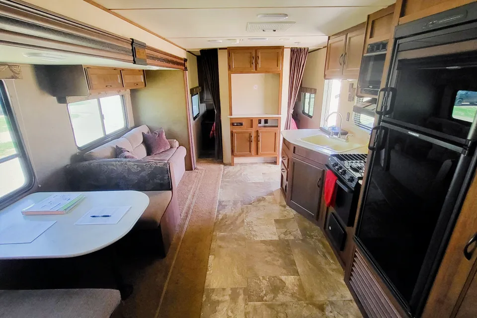
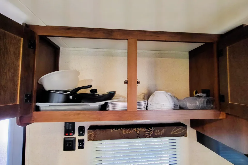
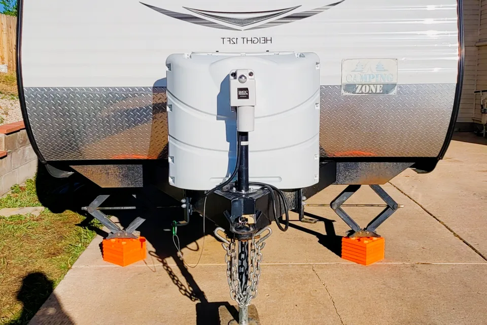
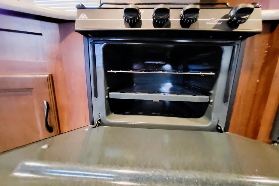
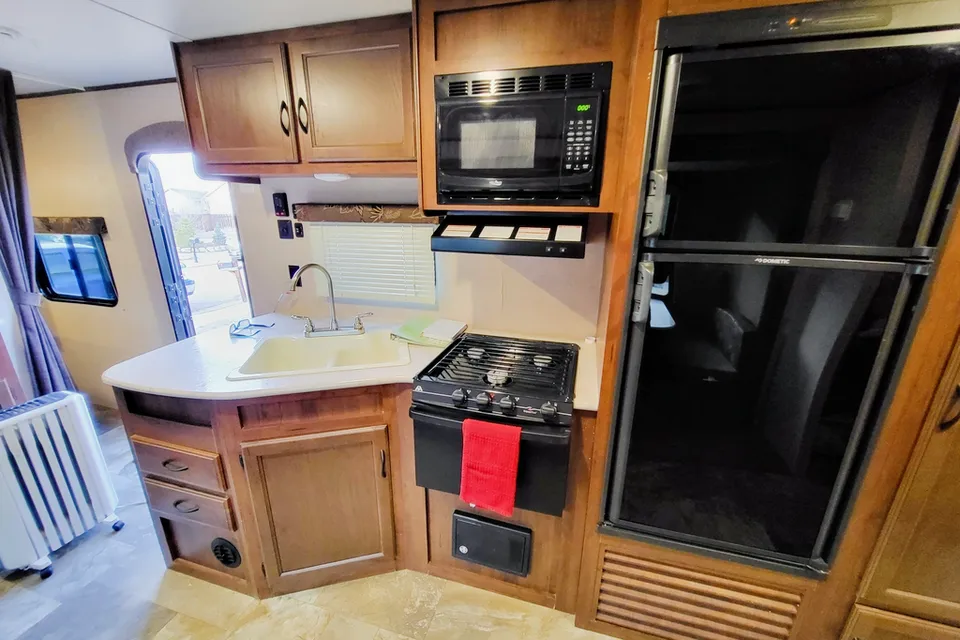
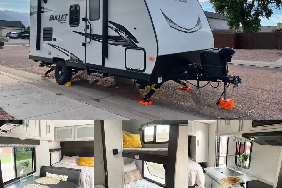
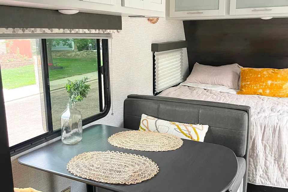
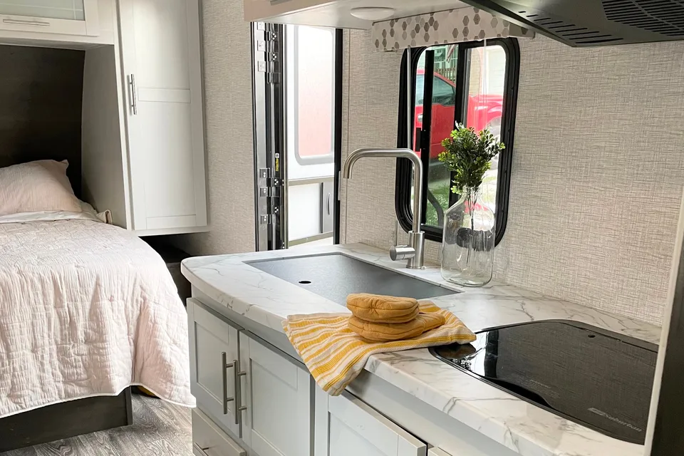

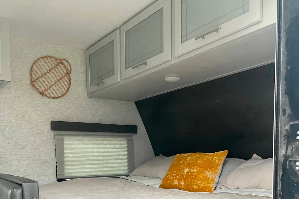
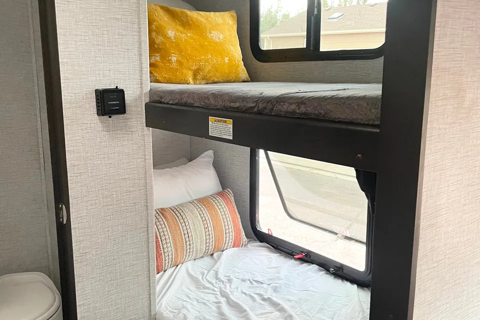

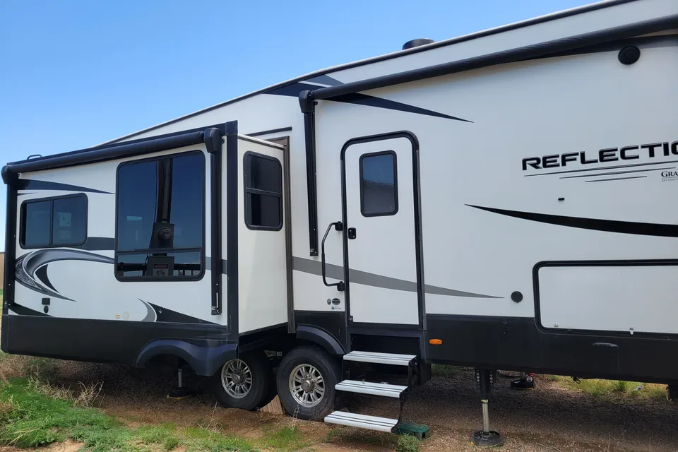
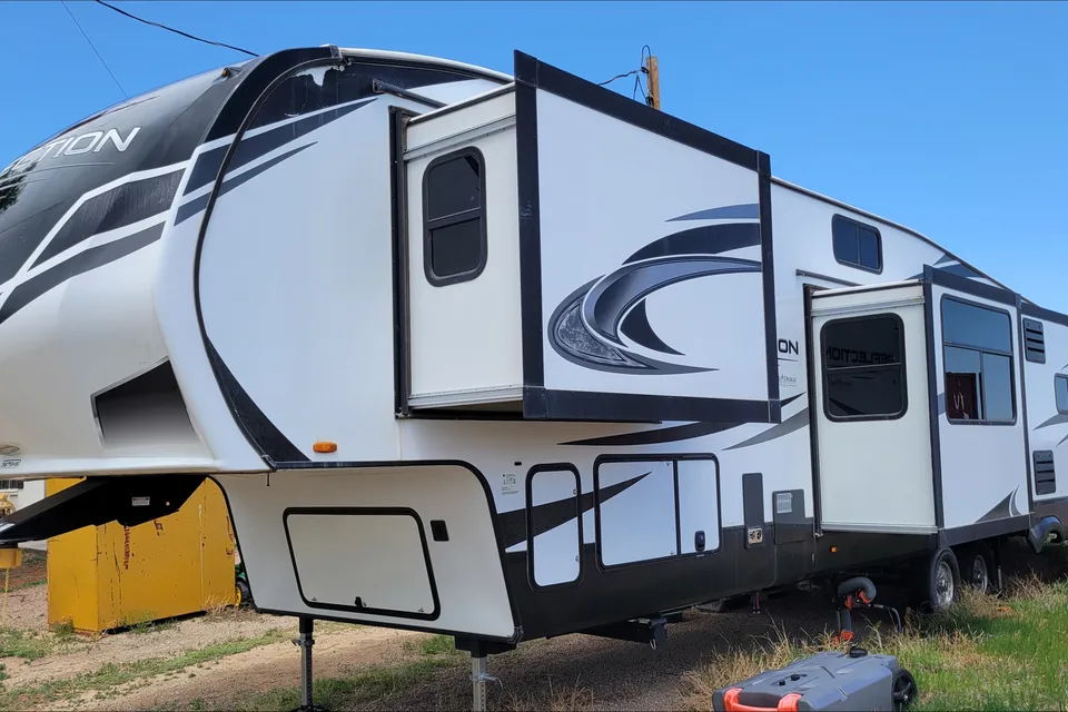
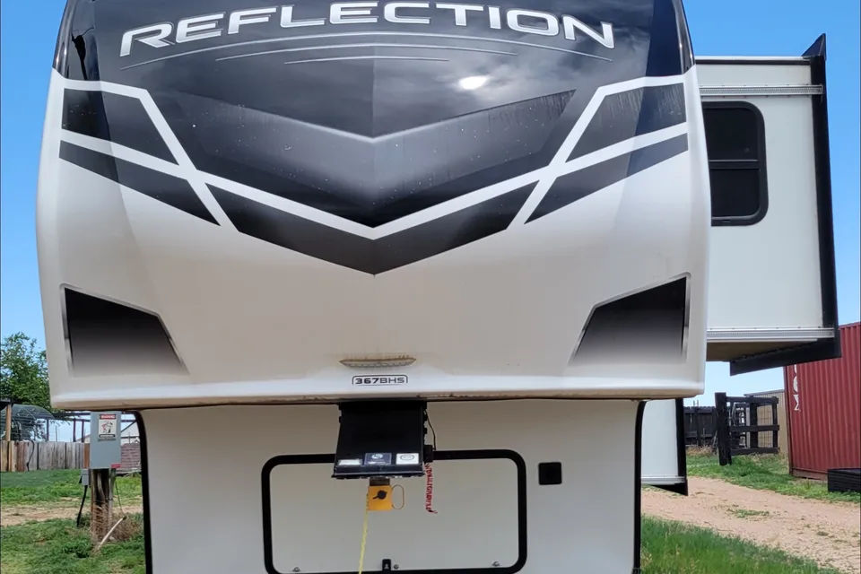
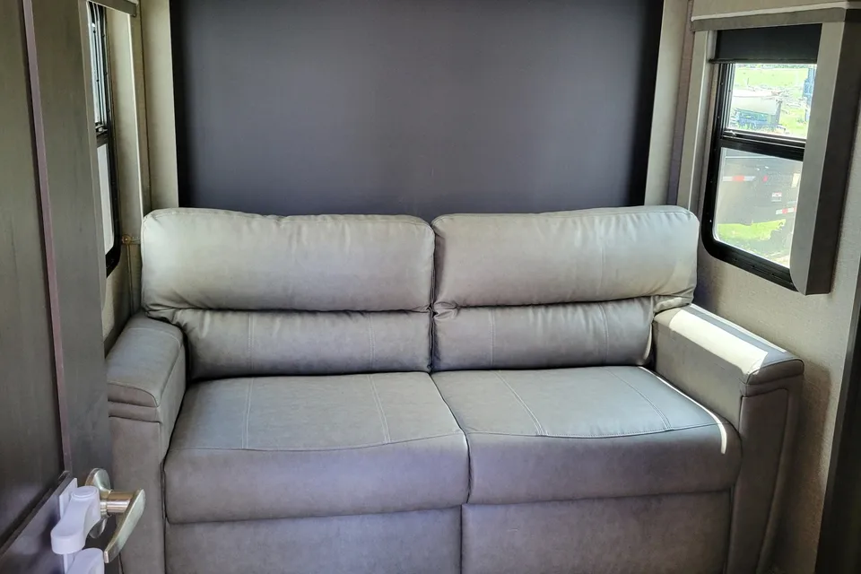
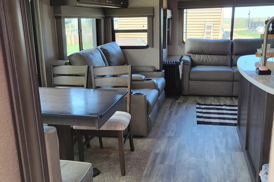
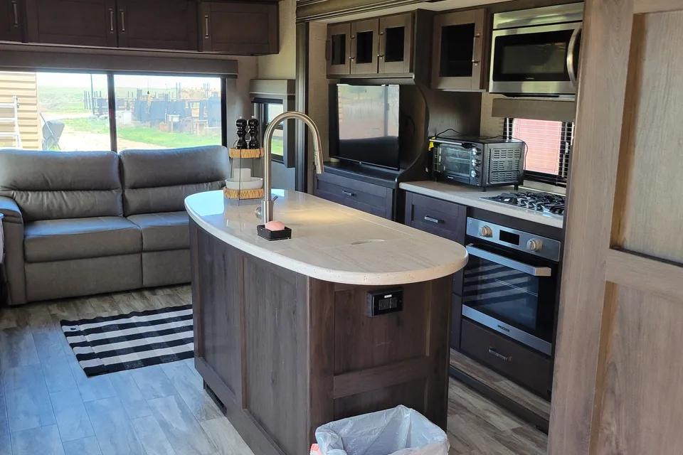
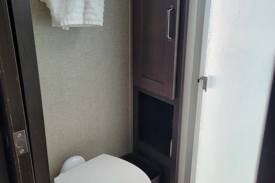
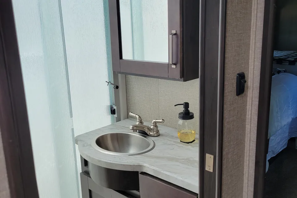
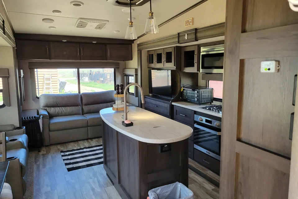

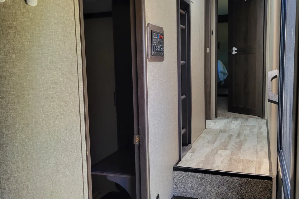
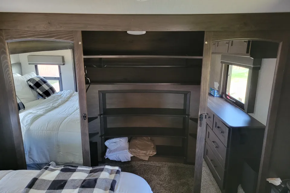
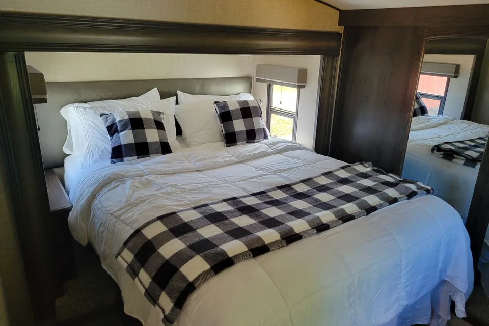
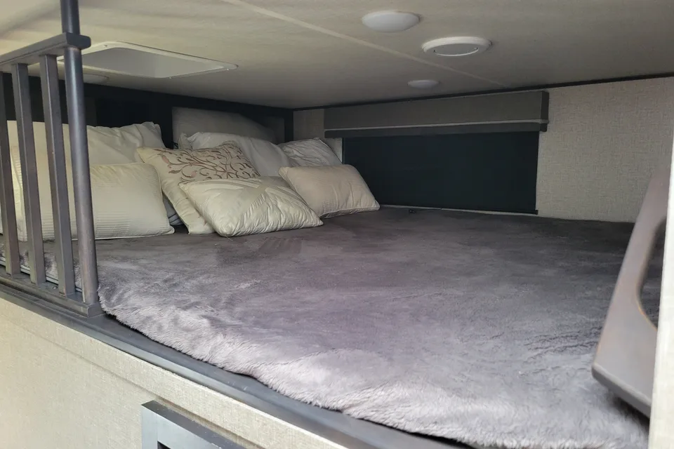
 Delivery only
Best time to visit Great Sand Dunes National Park
Late May through early June is a highlight for many visitors, when snowmelt typically produces peak flow in Medano Creek at the base of the dunes. Summer from June through August offers warm days and full services, though RVers should plan dune time for morning or evening since sand surface temperatures can reach 150 degrees F, and thunderstorms with lightning and wind can develop in the afternoon. September and early October are excellent shoulder-season months with cooler temperatures, fewer crowds, and aspen color in the surrounding mountains. Winter brings snow and cold nights at elevation, and Piñon Flats Campground is closed, though the dunes remain open for day use.
Piñon Flats Campground closed; dunes open for day use
Piñon Flats Campground closed; day-use only
Piñon Flats Campground closed; windy season begins
Campground typically reopens; strong afternoon winds common
Medano Creek flow begins; popular visit window
Peak Medano Creek flow; reserve campsites early
Afternoon thunderstorms and lightning common; hike dunes early
Monsoon season; plan dune time for morning or evening
Ideal shoulder season; cool nights
Last month of campground season; freezing nights possible
Piñon Flats Campground closed; day-use only
Piñon Flats Campground closed; snow possible
Things to do at Great Sand Dunes National Park
- Hike the High Dune on the First Ridge StrenuousRV parking available
The High Dune on the first ridge is the most common hiking destination in the dunefield and offers a sweeping view across the sand. It stands about 692 feet from base to top, reached by crossing a half-mile of the Medano Creek bed, then zigzagging up along ridgelines. Average round-trip hiking time is 2 hours, but plan for up to 4 hours if not acclimated to the high altitude. nps.gov/places/high-dune-on-first-ridge.htm
- Wade and play at Medano Creek EasyRV parking available
Medano Creek is a seasonal stream that flows along the eastern edge of the dunefield and creates a wide beach-like play area each spring. Peak flow typically occurs in late May to early June when snowmelt from the Sangre de Cristos feeds the creek. Families gather here for wading, tubing, and sand play within easy walking distance of the Dunes Parking Lot. nps.gov/grsa/planyourvisit/medano-creek.htm
- Climb Star Dune or Hidden Dune StrenuousRV parking available
Star Dune and Hidden Dune are tied as the tallest dunes in the park at about 741 feet and offer a strenuous, trail-free hike into the heart of the dunefield. From the Dunes Parking Lot, hike about 2 miles south down the Medano Creek bed until Star Dune comes into view, then follow a ridge to its summit. The route is roughly 6 miles round trip with an average hiking time of 6 hours. nps.gov/places/star-dune.htm
- Sand sledding and sandboarding ModerateRV parking available
Sand sledding and sandboarding down the dunes are signature activities at Great Sand Dunes. Specialized sand sleds and boards can be rented from outfitters just outside the park entrance, since standard snow sleds do not work on dry sand. In summer months, always plan your dunes time for morning or evening to avoid 150 degree F sand and thunderstorms with lightning. nps.gov/thingstodo/explore-the-dunes.htm
- Stargazing in an International Dark Sky Park EasyRV parking available
Great Sand Dunes is certified as an International Dark Sky Park and offers some of the darkest night skies in the contiguous United States. A moonless night reveals countless stars, with the Milky Way highest and most visible during late summer and fall. The Dunes Parking Lot and Piñon Flats Campground are popular spots for night sky viewing from your RV. nps.gov/grsa/index.htm
- Mosca Pass Trail ModerateRV parking available
Mosca Pass Trail is a forested hike that climbs through Montville Canyon alongside Mosca Creek to a historic mountain pass. The roughly 7-mile round-trip trail gains about 1,500 feet and offers shade, wildflowers, and a cooler alternative when the dunes are hot. The trailhead is near the Montville Nature Trail just north of the visitor center. nps.gov/grsa/planyourvisit/hiking.htm
- Zapata Falls (adjacent BLM area) ModerateRV parking available
Zapata Falls is a short hike to a waterfall tucked inside a slot canyon on BLM land just south of the park. The cold waters of South Zapata Creek drop more than 25 feet through a narrow, rocky canyon. It is accessed from Colorado State Highway 150 approximately 5 miles south of Great Sand Dunes, then 3.5 miles up an unpaved road. blm.gov/visit/zapata-falls-campground
- Visitor Center and Montville Nature Trail EasyRV parking available
The park visitor center is the best starting point for orientation, with exhibits on dune formation, wildlife, and cultural history. The adjacent Montville Nature Trail is a half-mile loop suitable for most visitors and is easy to access from the main parking area. Rangers offer programs and current conditions updates at the visitor center. nps.gov/grsa/planyourvisit/visitor-center.htm

RV delivery to 20 campgrounds
Skip the pickup. Skip the towing. Get an RV delivered and set up at your campsite so you can arrive, unpack, and start your trip stress-free.
Choose your perfect RV
Browse RVs that offer delivery to your site and book the one that fits your budget and adventure style.
Lock in your campsite
Reserve your campsite with the hookups and amenities you need. We’ll help you find RVs that meet site requirements.
Arrive and relax
Your host delivers and sets up the RV before you get there. Just show up and start enjoying your trip.
Find the perfect RV for these nearby campgrounds
RV Rentals Great Sand Dunes National Park
Great Sand Dunes National Park, CO, United States
How to get to Great Sand Dunes National Park
The park sits roughly 35 miles northeast of Alamosa, Colorado, about a 45-minute drive on US-160 and Colorado Highway 150. Pueblo is approximately 165 miles (about 3 hours) east via US-160, and Colorado Springs is around 170 miles (3 to 3.5 hours) away via US-24 and CO-17. RV drivers should plan for high-altitude driving above 7,500 feet with steep grades, strong crosswinds in the San Luis Valley, and afternoon thunderstorms in summer. The Medano Pass Primitive Road inside the park is sandy and four-wheel-drive only, so RVs and trailers should not attempt it beyond the Point of No Return. The nearest major airports for fly-and-rent trips are Colorado Springs (COS) and Albuquerque (ABQ), with the small San Luis Valley Regional Airport in Alamosa as a regional option.
RVezy vs. Traditional RV rental
RVezy rentals
- Book directly from local RV owners
- Choose the exact RV you want
- Delivery to your campsite, home, or destination
- More variety: trailers, motorhomes, and campers
Traditional RV rental
- Limited fleet from a rental company
- Exact RV not guaranteed
- Pickup only at retail locations
- Fewer RV types and less availability