Hawaii Volcanoes National Park - United States
Discover the RVezy RV rental marketplace

About Hawaii Volcanoes National Park
RV quick facts for Hawaii Volcanoes National Park
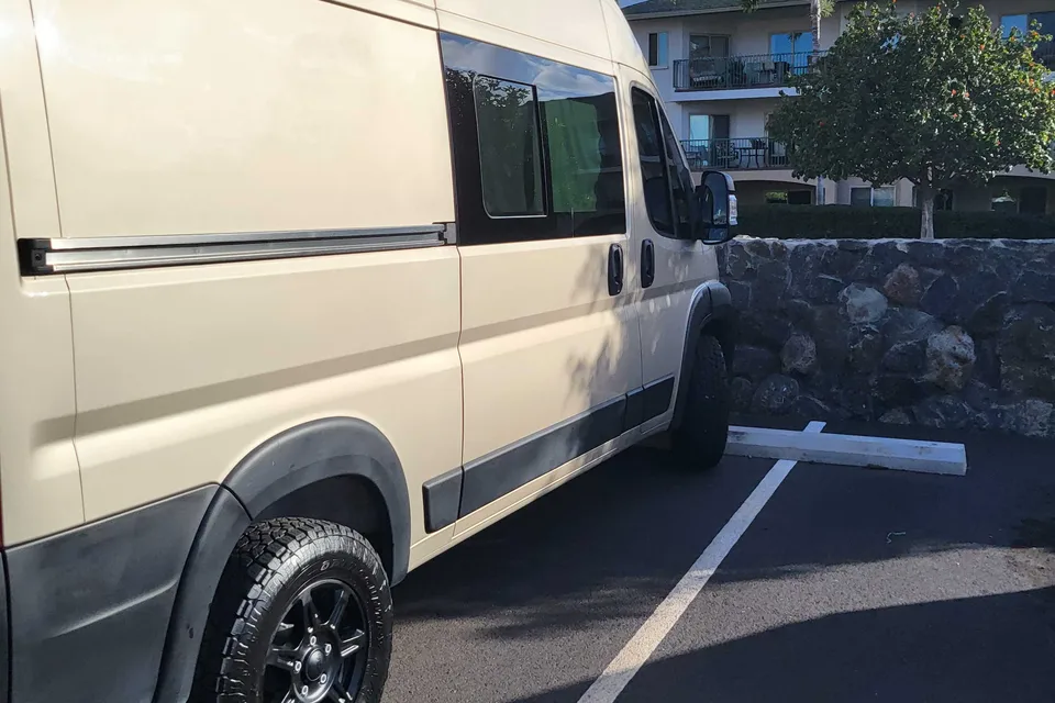
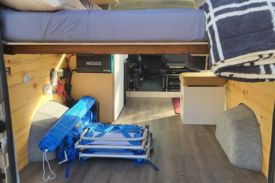
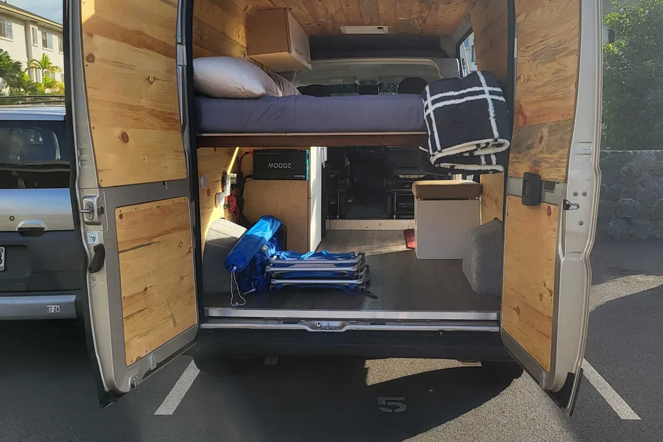
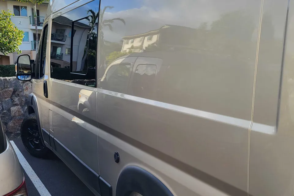
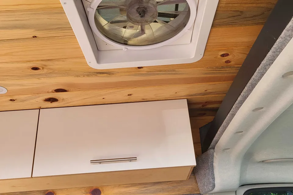
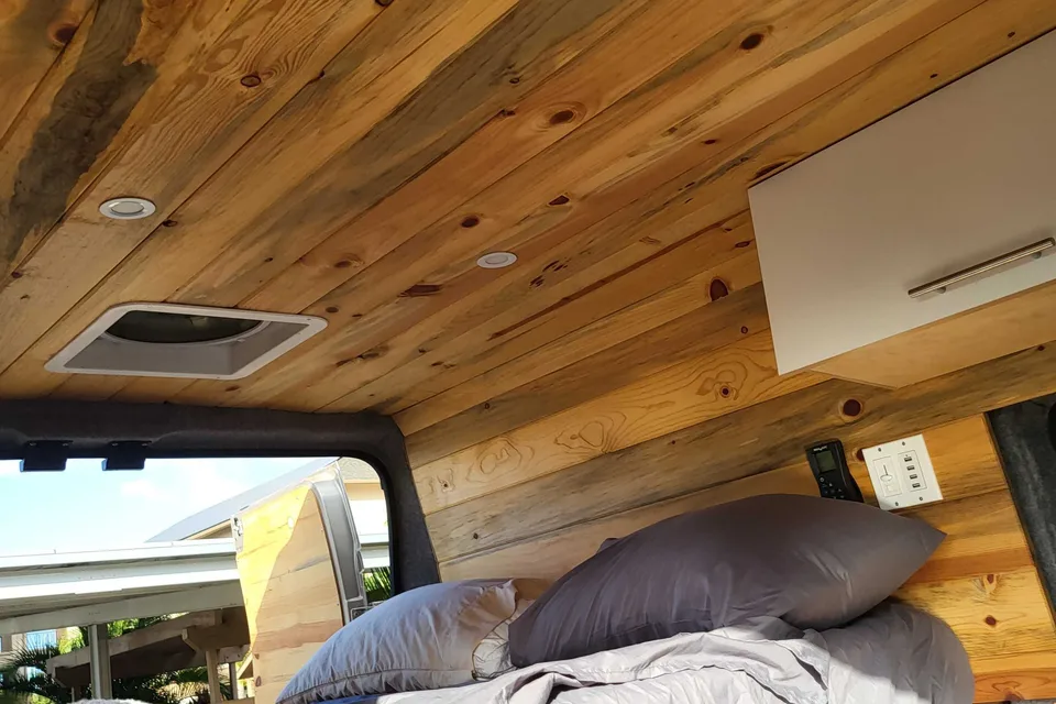
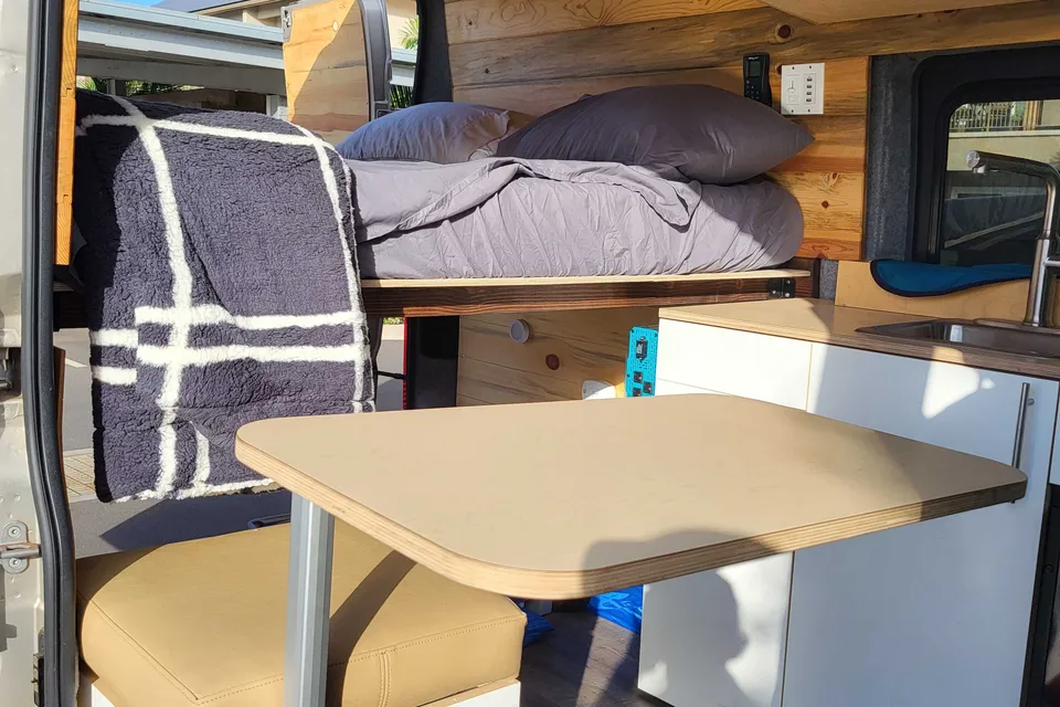
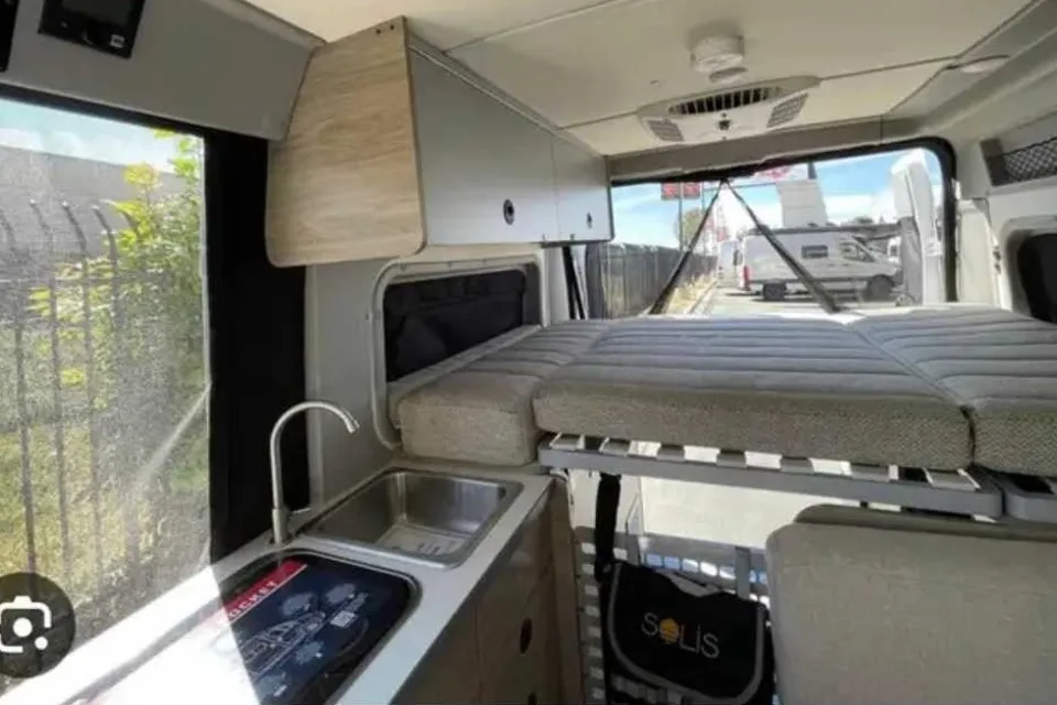
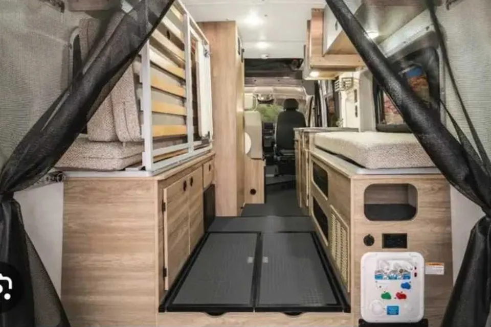
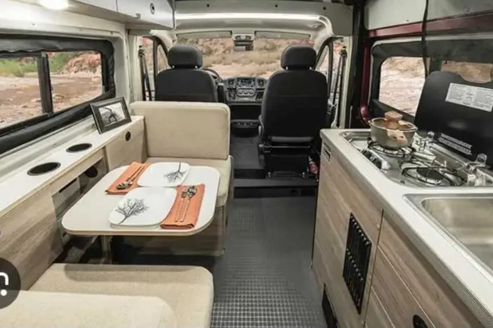
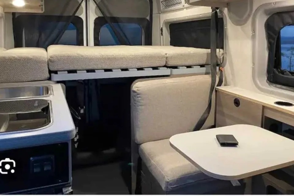
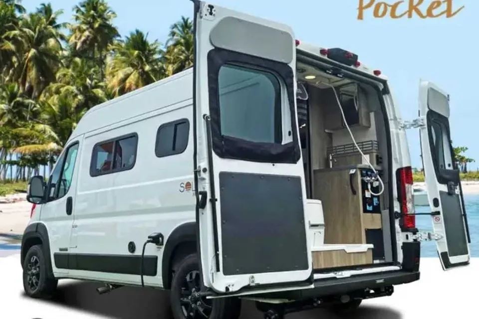
Featured RV rentals for Hawaii Volcanoes National Park

Best time to visit Hawaii Volcanoes National Park
April through October generally brings the driest and mildest conditions at the Kīlauea summit, making it the most comfortable period for RV travel and hiking. The summit area sits near 4,000 feet elevation, so evenings can be cool year-round and mornings can be foggy. Winter months (November to March) are wetter and cooler but still accessible, and crowds are lighter midweek outside the December holiday peak. Eruption activity can occur at any time, so check current conditions before planning a specific viewing trip.
Cool and wet at the Kīlauea summit; park open year-round.
Cool, frequent rain and fog near the summit.
Mild but wet; layers recommended.
Shoulder season, drier trend begins.
Pleasant, generally drier conditions.
Peak travel season begins; book campsites early.
Warm and relatively dry at the summit; busy.
Peak season; possible tropical weather.
Warm, generally pleasant hiking conditions.
Shoulder season with lighter crowds.
Wetter pattern returns; pack rain gear.
Cool and wet; holiday week can be crowded.
Things to do at Hawaii Volcanoes National Park
- Crater Rim Drive EasyRV parking available
Crater Rim Drive is a paved scenic loop near the Kīlauea summit with overlooks of the caldera, steam vents, and sulfur banks. The route from Uēkahuna to the Devastation Trailhead parking lot is about 5.6 miles one-way and takes roughly 20 minutes without stops. Numerous pullouts and parking areas accommodate larger vehicles. nps.gov/thingstodo/crd-coc.htm
- Chain of Craters Road EasyRV parking available
Chain of Craters Road descends nearly 3,700 feet from the Kīlauea summit area to the Pacific coast at the Hōlei Sea Arch. The drive from Devastation Trailhead to the sea arch is about 18.7 miles one-way and takes about 30 minutes without stops; both Crater Rim Drive and Chain of Craters Road are paved and do not require four-wheel drive. Allow extra time for overlooks, lava flow views, and short walks. nps.gov/thingstodo/crd-coc.htm
- Nāhuku (Thurston Lava Tube) EasyRV parking available
Nāhuku is a short, paved walk through a prehistoric lava tube in a lush fern forest near the Kīlauea summit. The loop is under half a mile and suitable for most visitors. Parking can fill quickly, so arrive early or late in the day. nps.gov/havo/planyourvisit/craterrimtour.htm
- Kīlauea Iki Trail ModerateRV parking available
Kīlauea Iki Trail descends through rainforest to cross the floor of a solidified lava lake inside a crater. The loop from Kīlauea Iki Overlook is about 3.3 miles with about 400 feet of elevation change. The overlook parking area is very limited; RVers are encouraged to park at Devastation Trailhead and add a short connector to the loop. nps.gov/thingstodo/ttd_kilauea_iki.htm
- Puʻuloa Petroglyphs EasyRV parking available
Puʻuloa Petroglyphs is a sacred site along Chain of Craters Road with thousands of Hawaiian rock carvings viewed from an elevated boardwalk. The round-trip walk is about 1.4 miles across an open lava field. An emergency phone is located at the trailhead due to limited cell service along Chain of Craters Road. home.nps.gov/havo/planyourvisit/ccr_tour.htm/index.htm
- Kahuku Unit ModerateRV parking available
The Kahuku Unit is a separate section of the park on the southern slope of Mauna Loa with ranching history, lava flows, and native forest. It lies off Highway 11 about an hour southwest of the main entrance and offers ranger-guided hikes and self-guided trails. Kahuku preserves a landscape of dynamic volcanism, Hawaiian traditions, and ranching heritage. nps.gov/havo/
- Devastation Trail EasyRV parking available
Devastation Trail is a paved, accessible path through a cinder field left by the 1959 Kīlauea Iki eruption. The one-way walk is about 1 mile between Puʻupuaʻi Overlook and Devastation Trailhead. The large trailhead parking lot accommodates RVs and is a convenient base for exploring nearby sights. nps.gov/havo/planyourvisit/craterrimtour.htm
- Volcano Viewing at Kīlauea Overlooks EasyRV parking available
When Kīlauea is erupting, designated overlooks near Uēkahuna and Keanakākoʻi provide views of active lava in the summit caldera. The park posts updated eruption viewing information and accessible overlook locations. Nighttime viewing can be popular, so arrive early and bring warm layers for the summit elevation. nps.gov/havo/
RV delivery to a campground, made simple
Skip the pickup. Skip the towing. Get an RV delivered and set up at your campsite so you can arrive, unpack, and start your trip stress-free.
Choose your perfect RV
Browse RVs that offer delivery to your site and book the one that fits your budget and adventure style.
Lock in your campsite
Reserve your campsite with the hookups and amenities you need. We’ll help you find RVs that meet site requirements.
Arrive and relax
Your host delivers and sets up the RV before you get there. Just show up and start enjoying your trip.
RV Rentals Hawaii Volcanoes National Park
Hawaii Volcanoes National Park, HI, United States
How to get to Hawaii Volcanoes National Park
The park entrance is on Highway 11 on the Big Island of Hawaiʻi. From Hilo, it is about 30 miles southwest, roughly a 45 minute drive, and from Kailua-Kona it is about 95 miles southeast, a 2 to 2.5 hour drive via Highway 11. The nearest airports for fly-and-rent trips are Hilo International Airport (ITO) and Ellison Onizuka Kona International Airport (KOA). Highway 11 climbs to around 4,000 feet with sustained grades, so allow extra time in larger RVs, watch engine temperatures, and use low gears on descents; expect vog (volcanic haze) and occasional fog near the summit.
RVezy vs. Traditional RV rental
RVezy rentals
- Book directly from local RV owners
- Choose the exact RV you want
- Delivery to your campsite, home, or destination
- More variety: trailers, motorhomes, and campers
Traditional RV rental
- Limited fleet from a rental company
- Exact RV not guaranteed
- Pickup only at retail locations
- Fewer RV types and less availability