Petit Jean State Park - United States
Discover the RVezy RV rental marketplace
About Petit Jean State Park
RV quick facts for Petit Jean State Park
| Detail | Information |
|---|---|
| Max RV length | Sites accommodating RVs up to 45 ft in the main Class AAA loop |
| Full hookups | Water and electric (30/50 amp) at most Class AAA sites; limited full hookup sites |
| Dump station | On-site dump station available to registered campers |
| Generator hours | Quiet hours 10 p.m. to 6 a.m.; generators discouraged during quiet hours |
| Cell service | Generally usable on the mountain plateau, spotty in Cedar Creek Canyon |
| Road restrictions | Highway 154 up the mountain has curves and grades; no tunnels |
| Reservation window | Reservations accepted up to 13 months in advance through Arkansas State Parks |
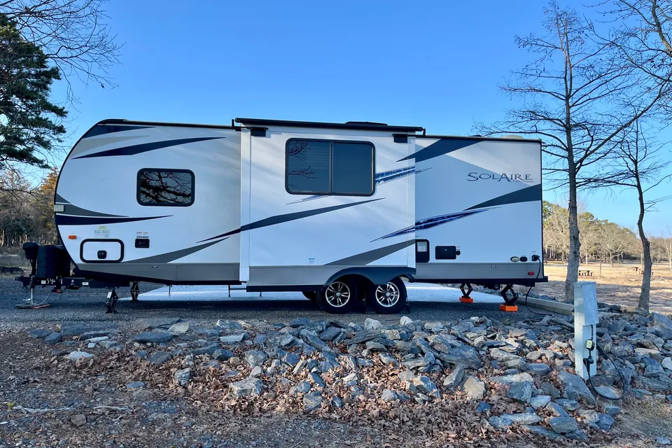
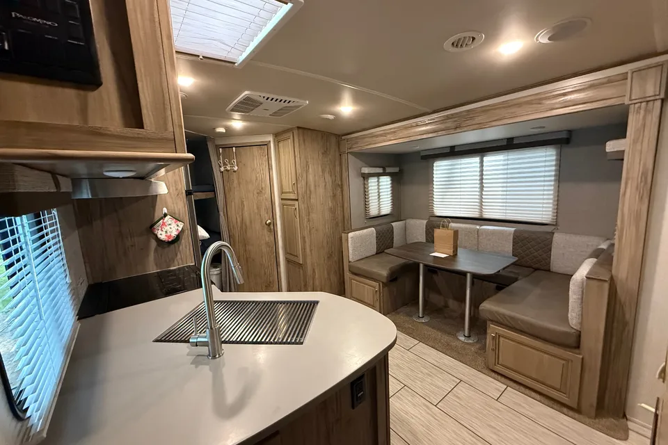
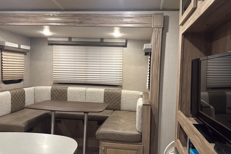
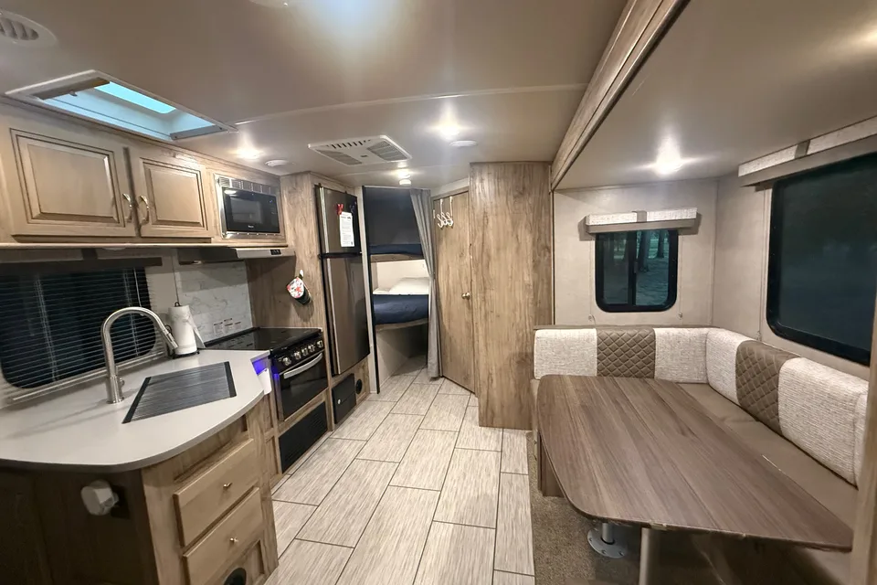
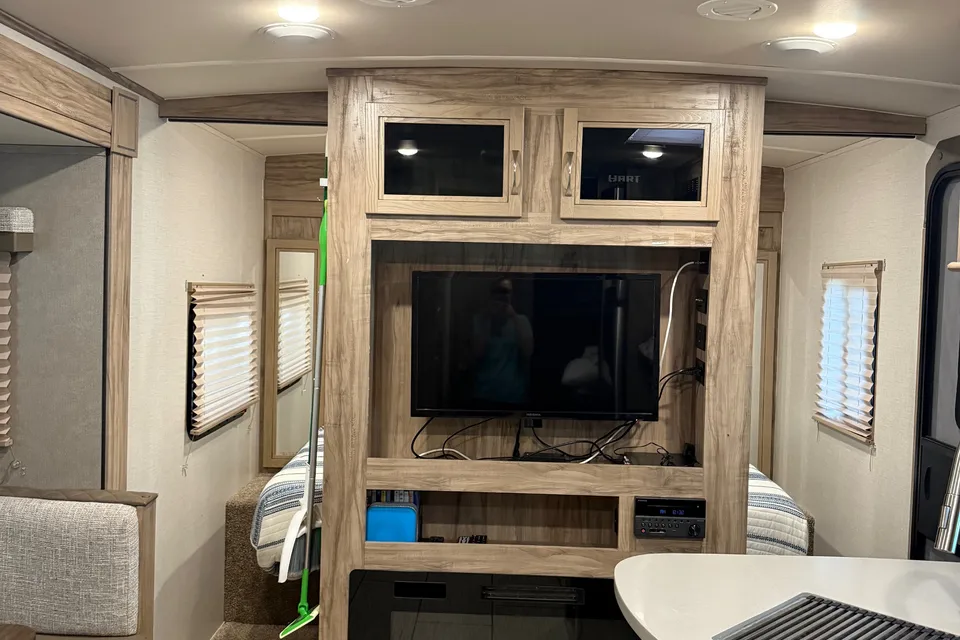
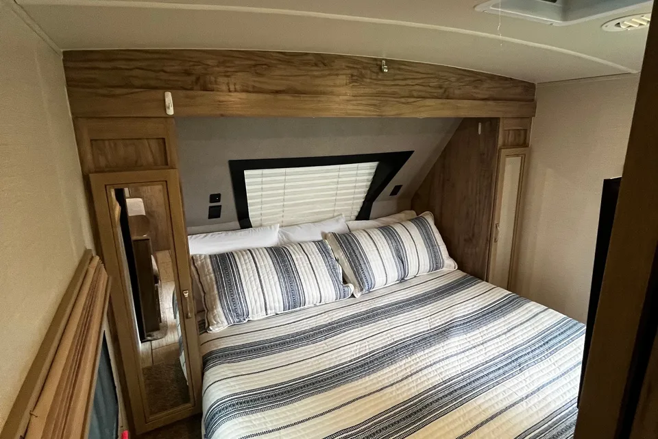
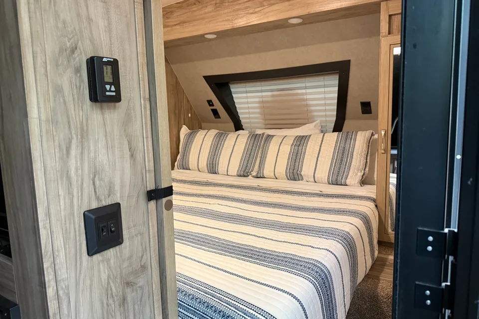
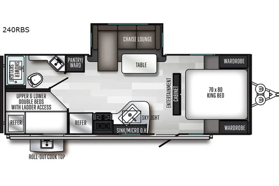
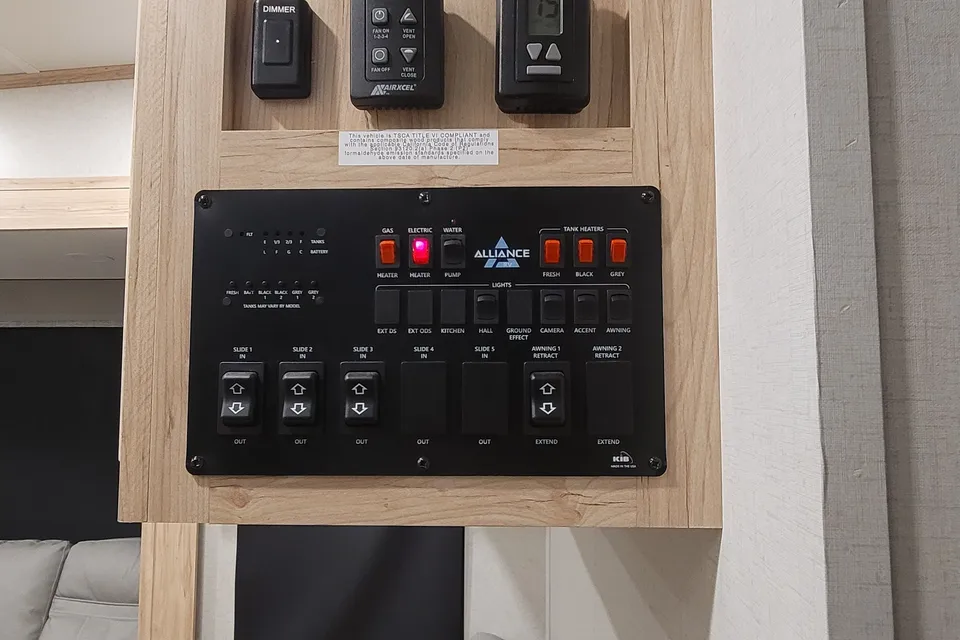
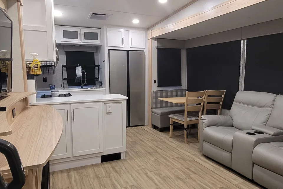
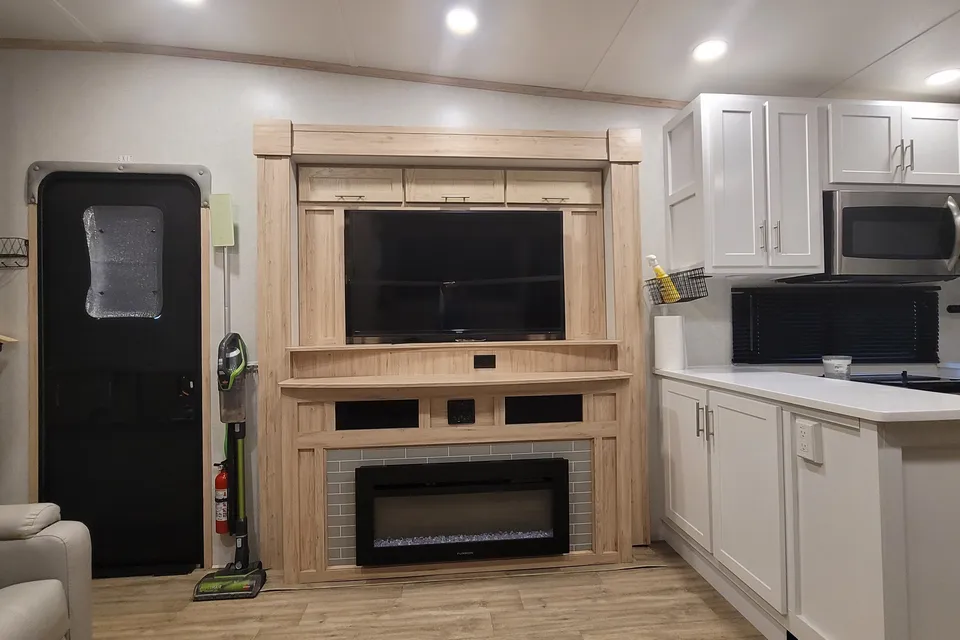
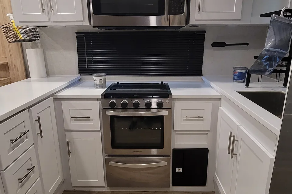
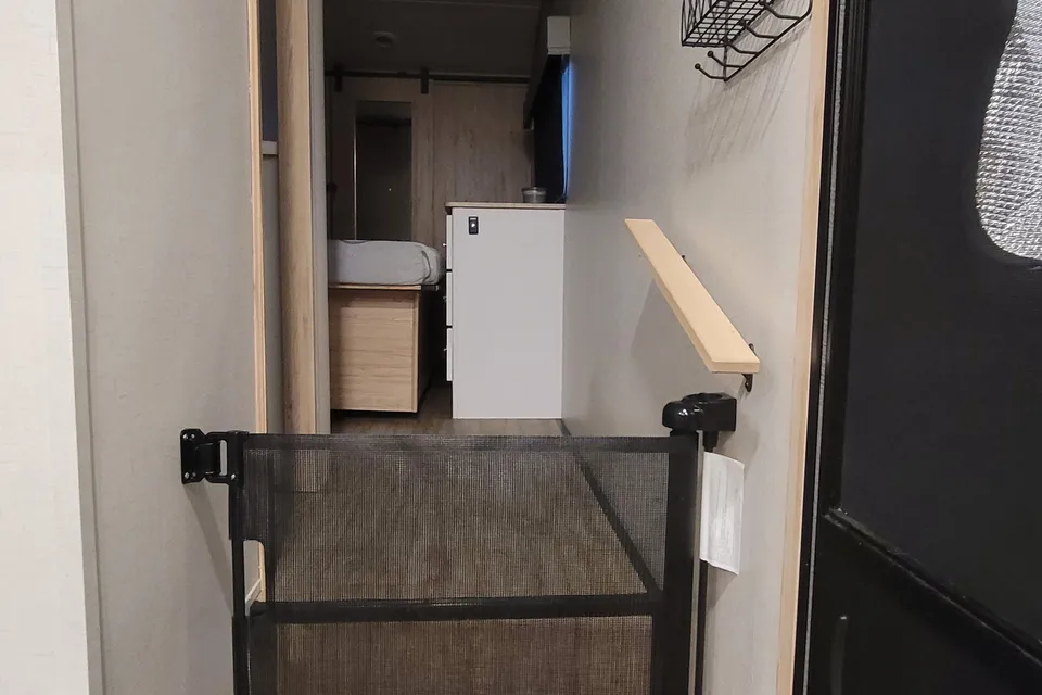
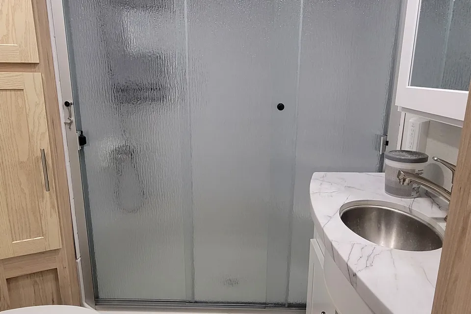
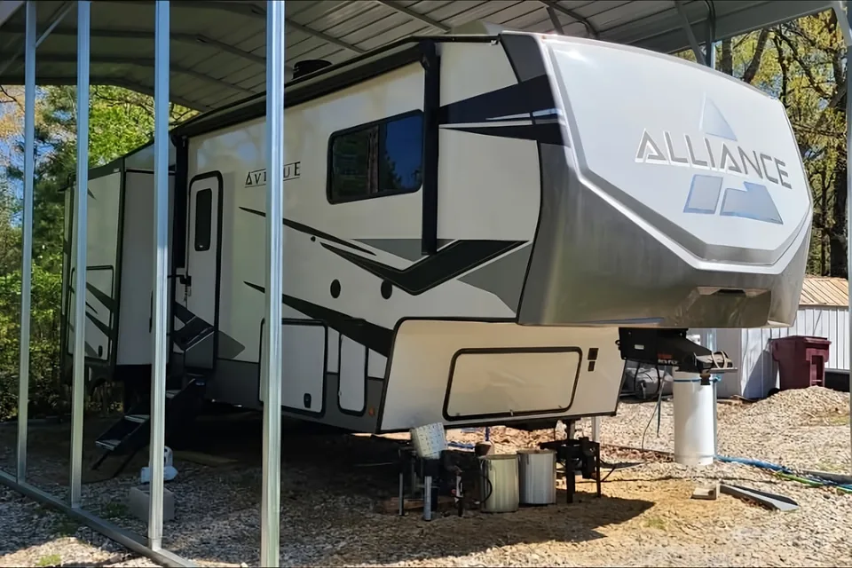
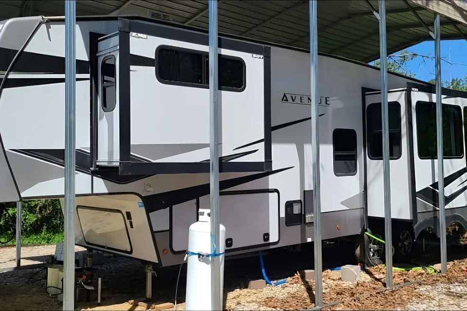
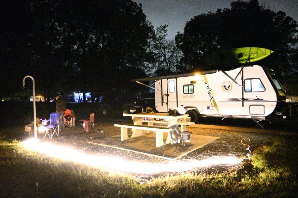
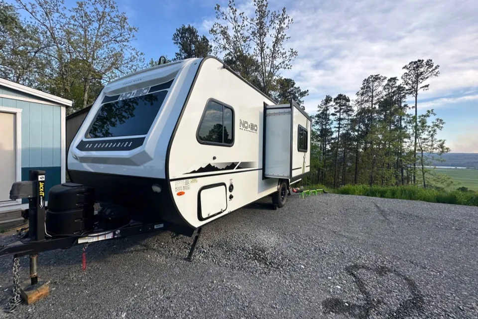
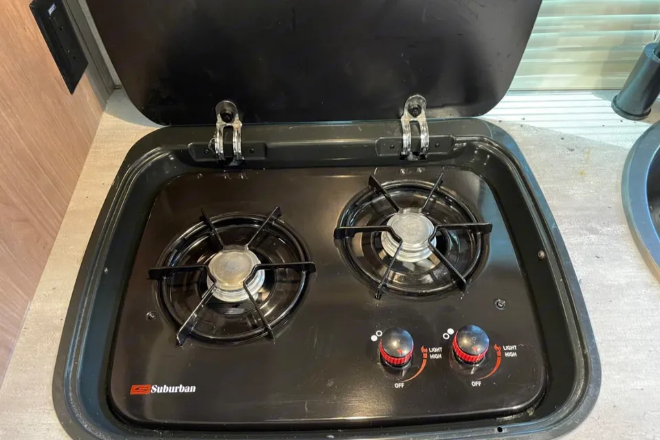
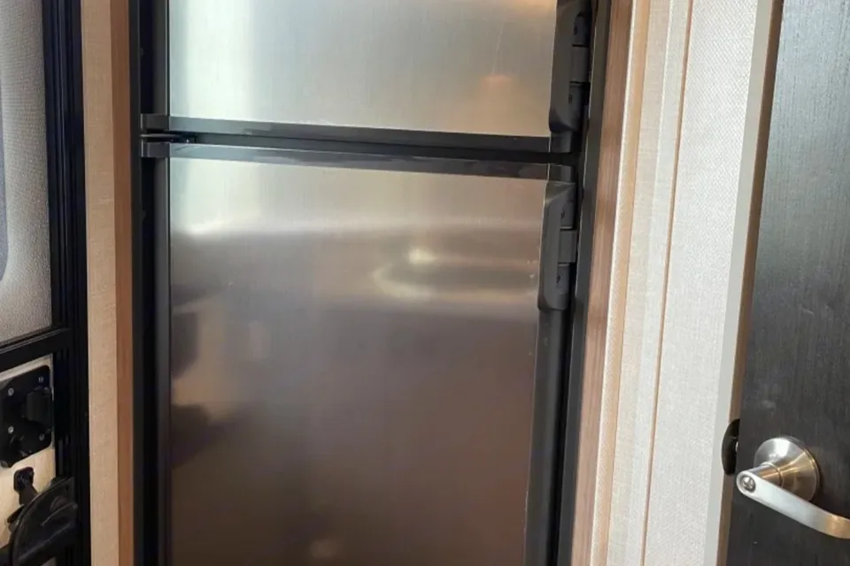
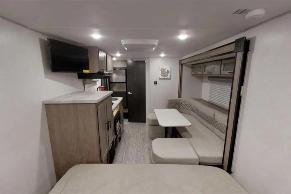
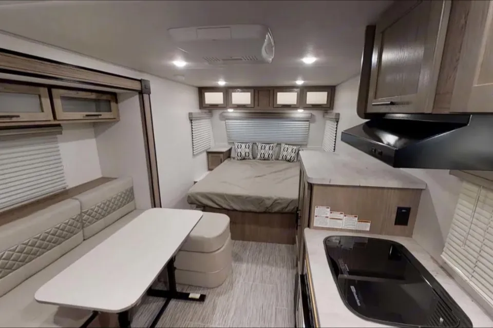
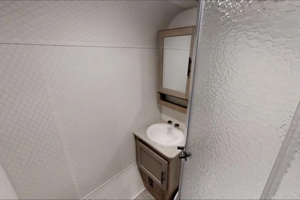
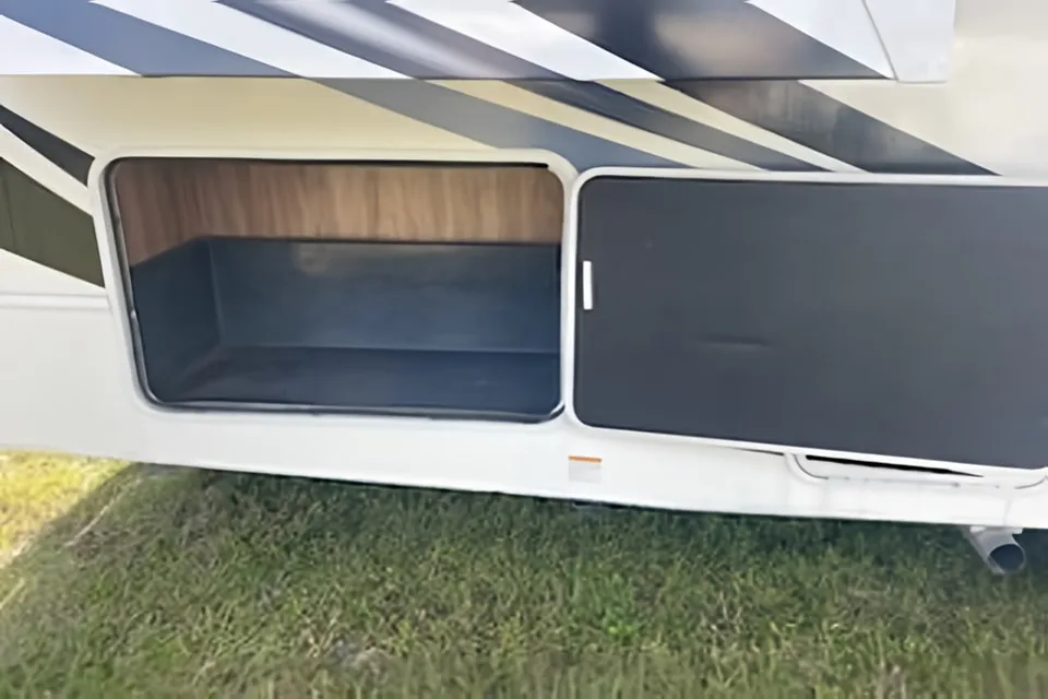
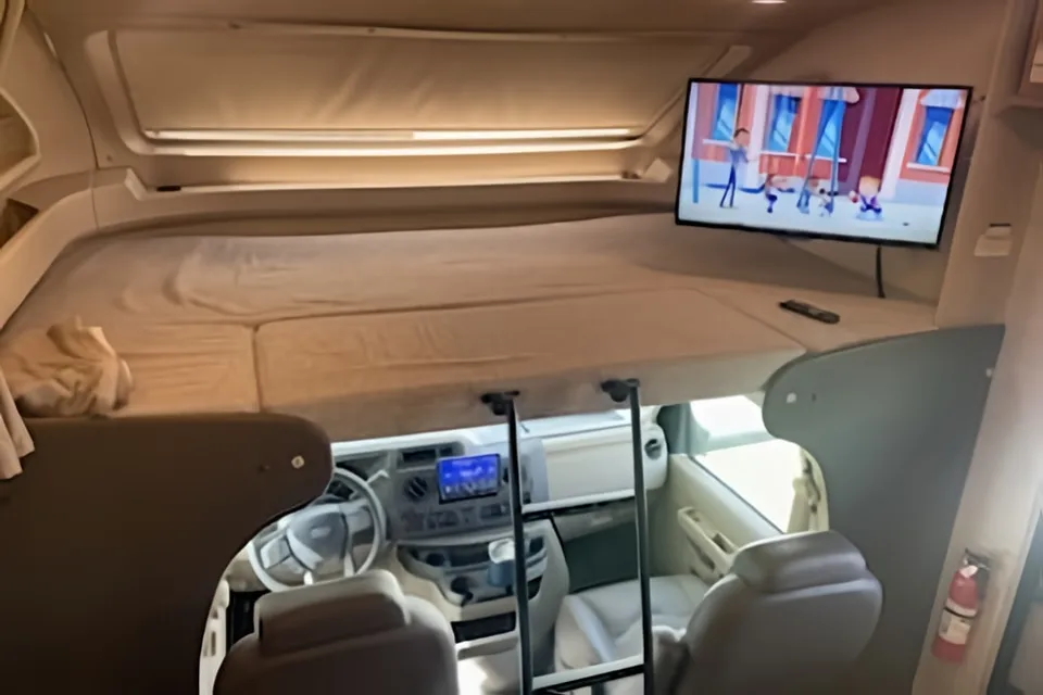
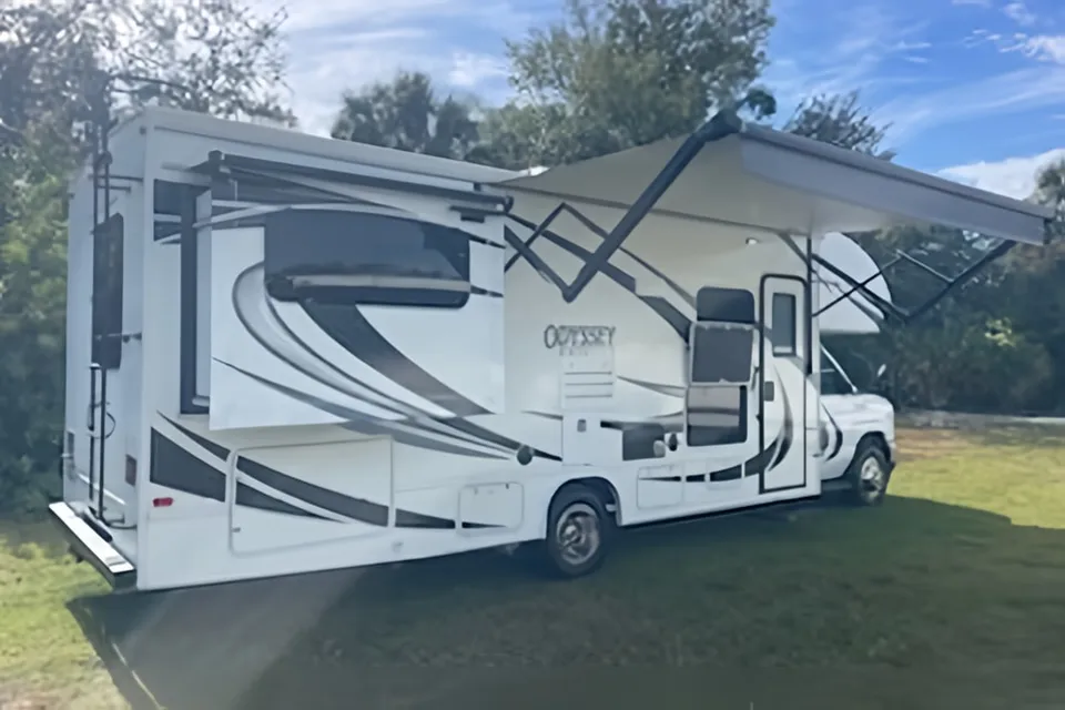
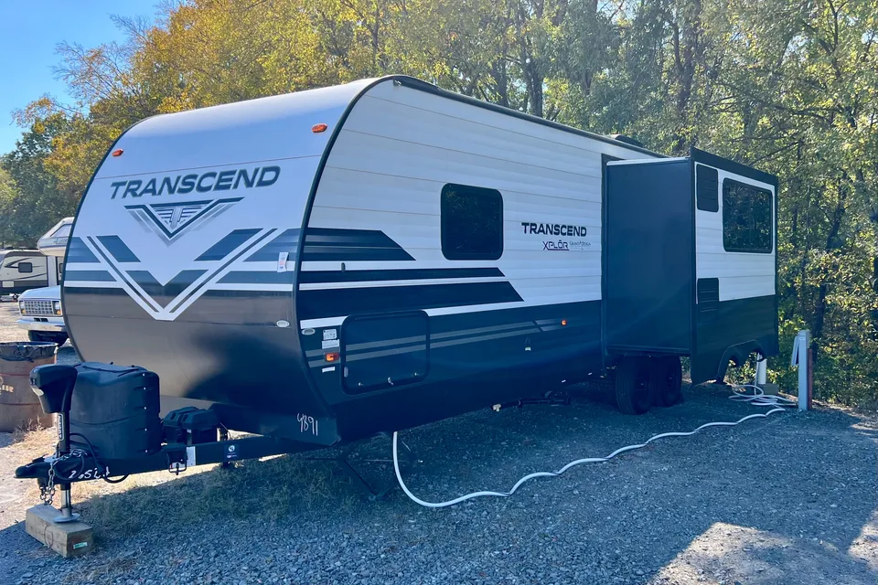
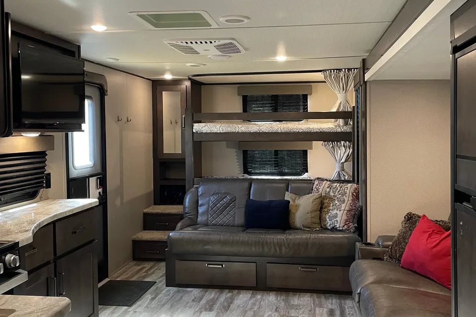
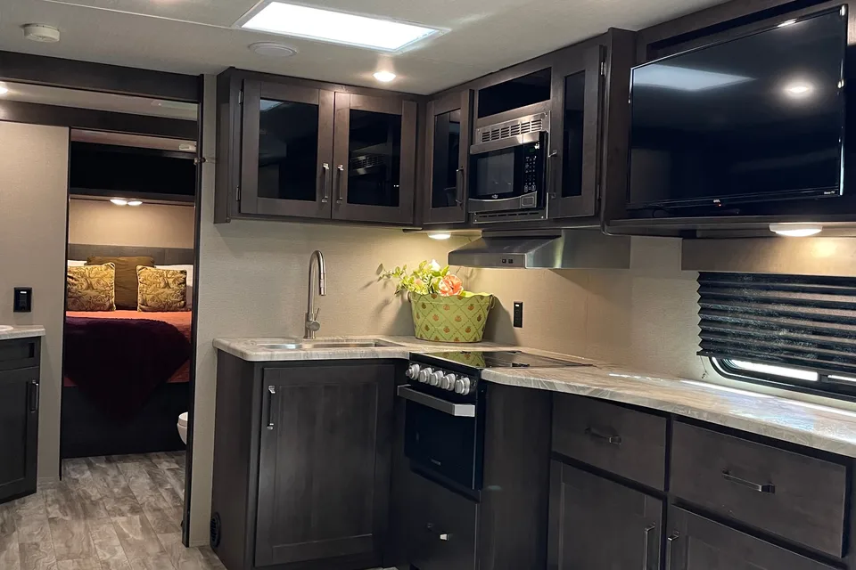
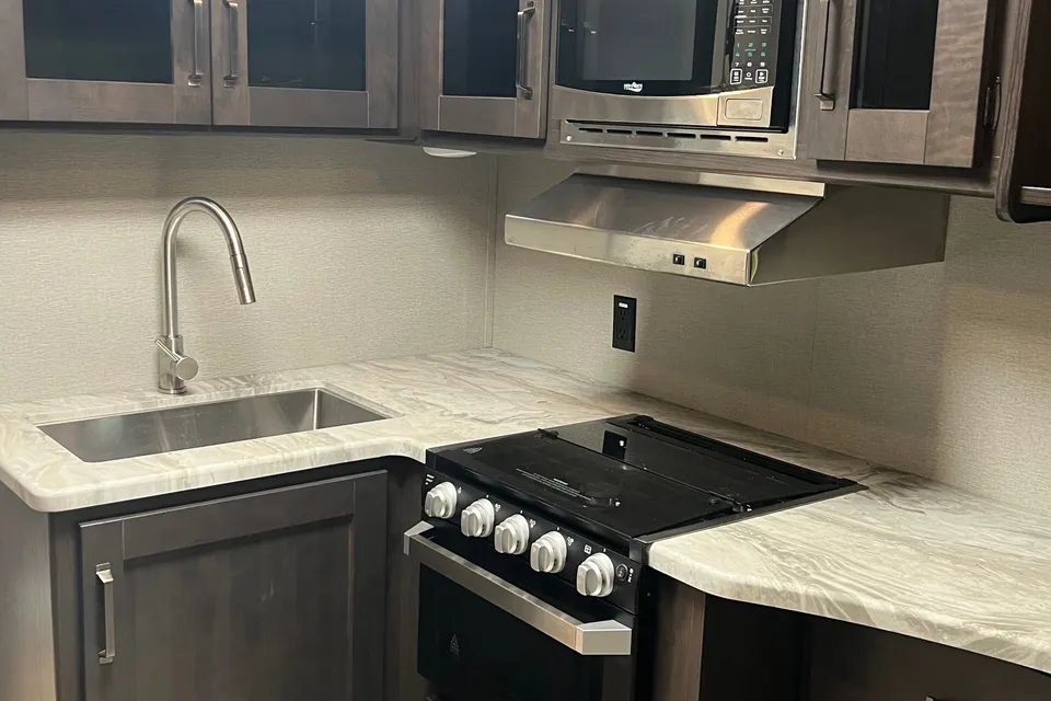
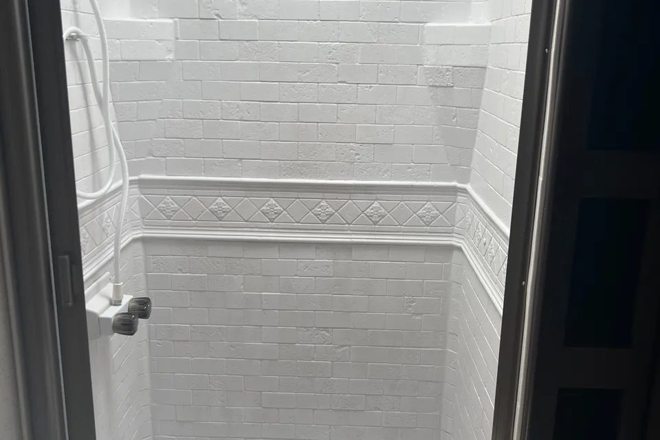
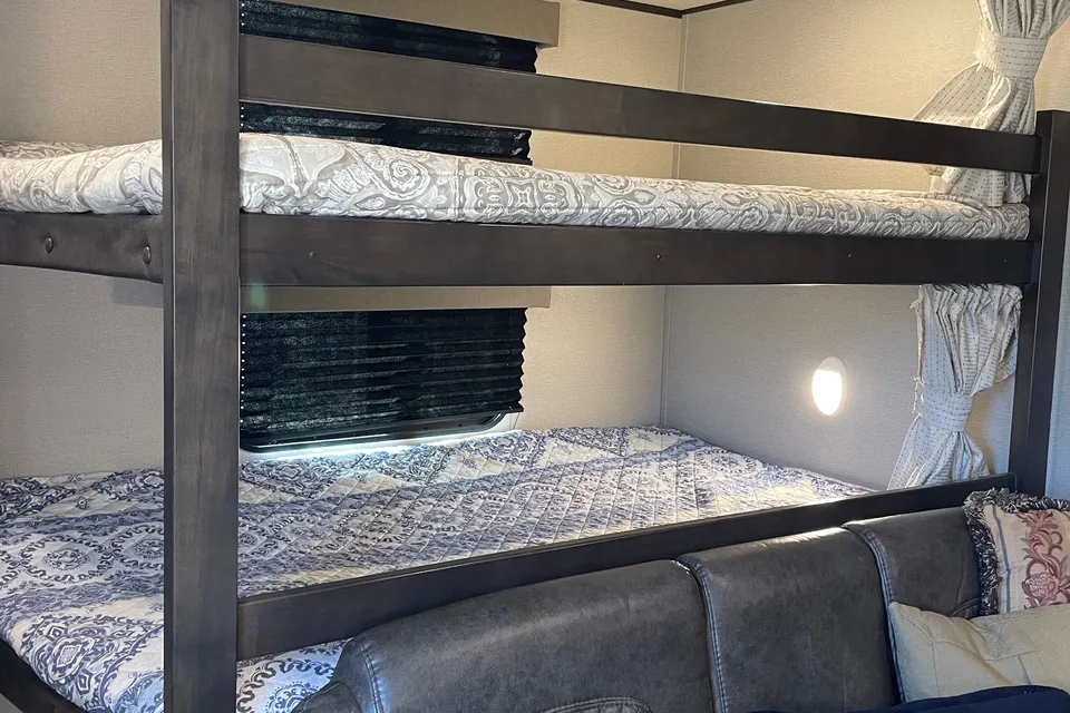
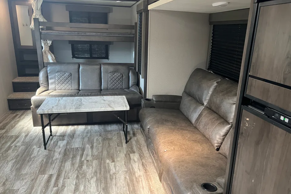
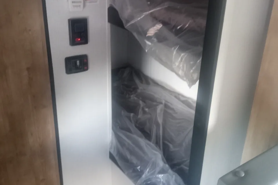
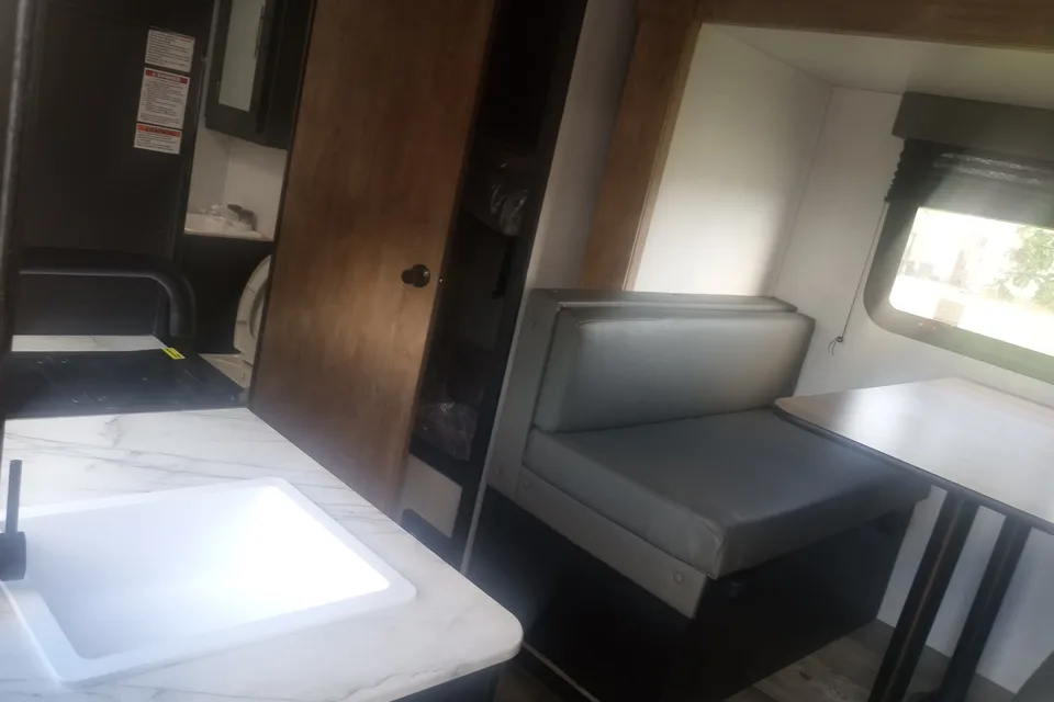
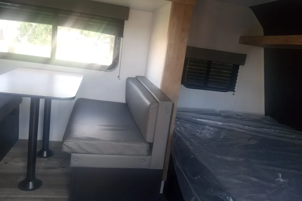
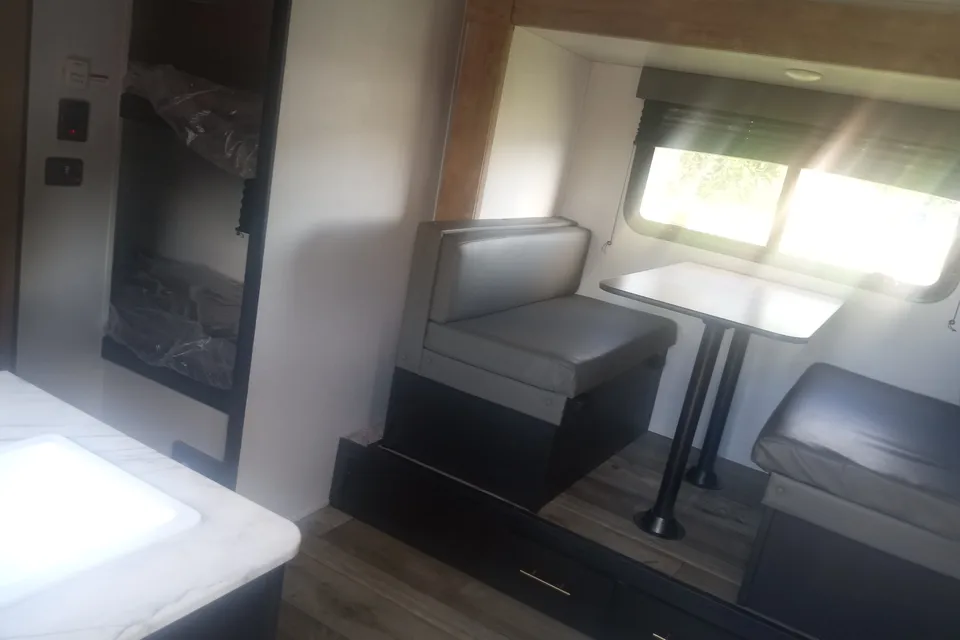
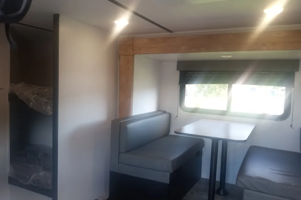
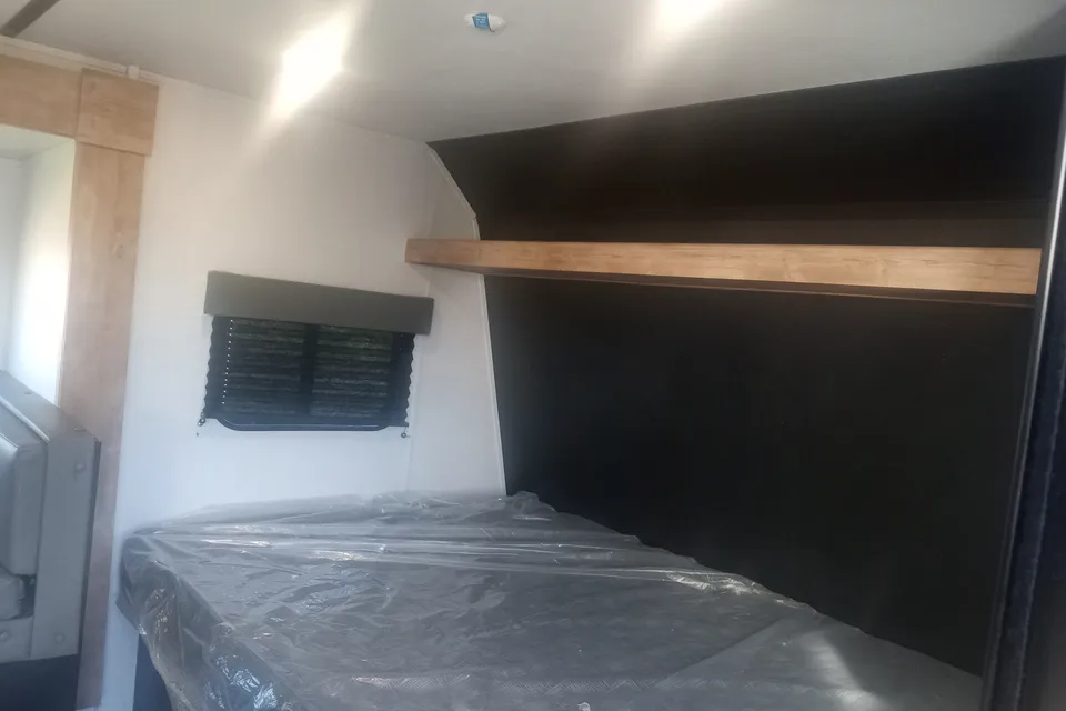
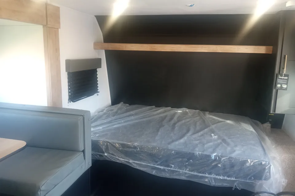
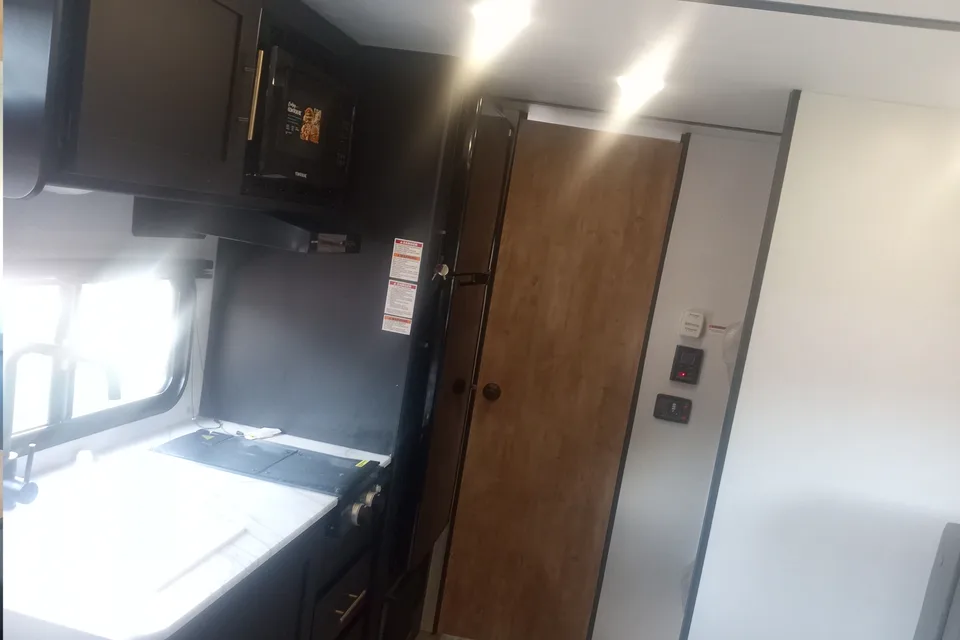
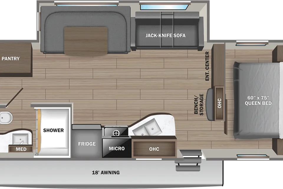
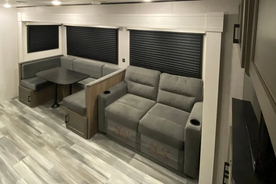
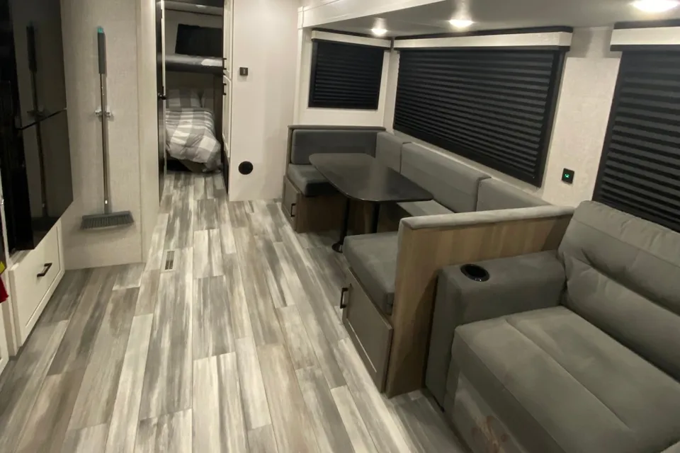
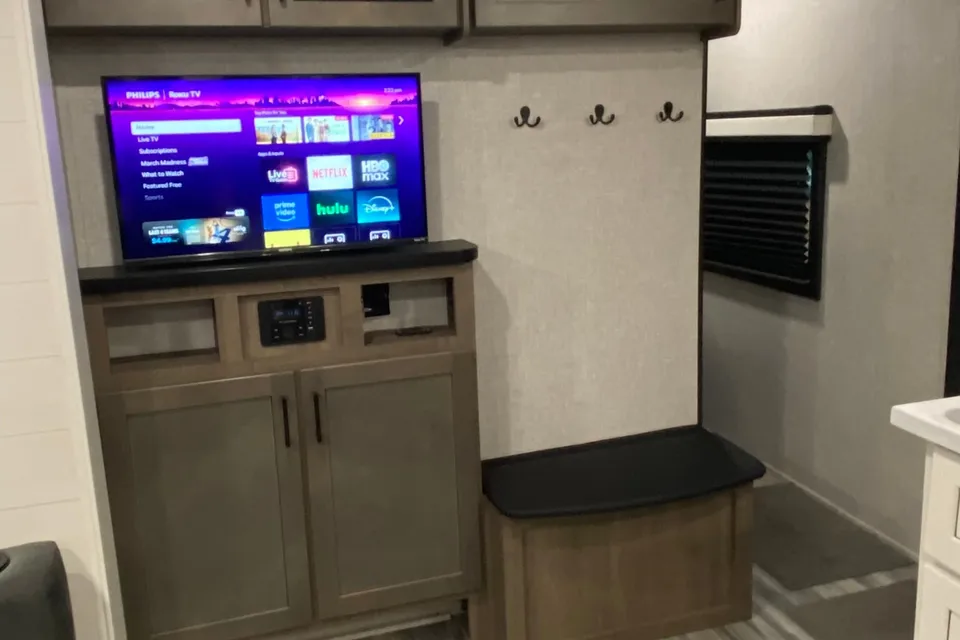
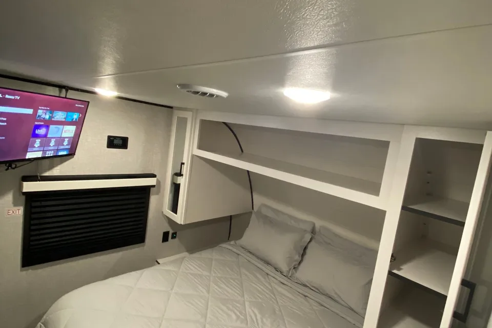
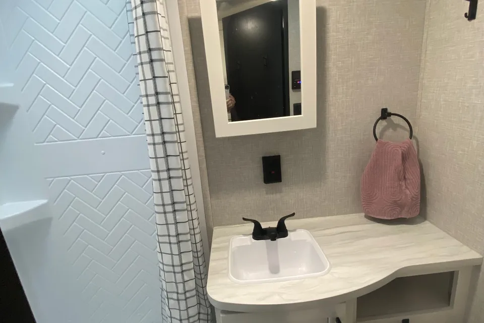
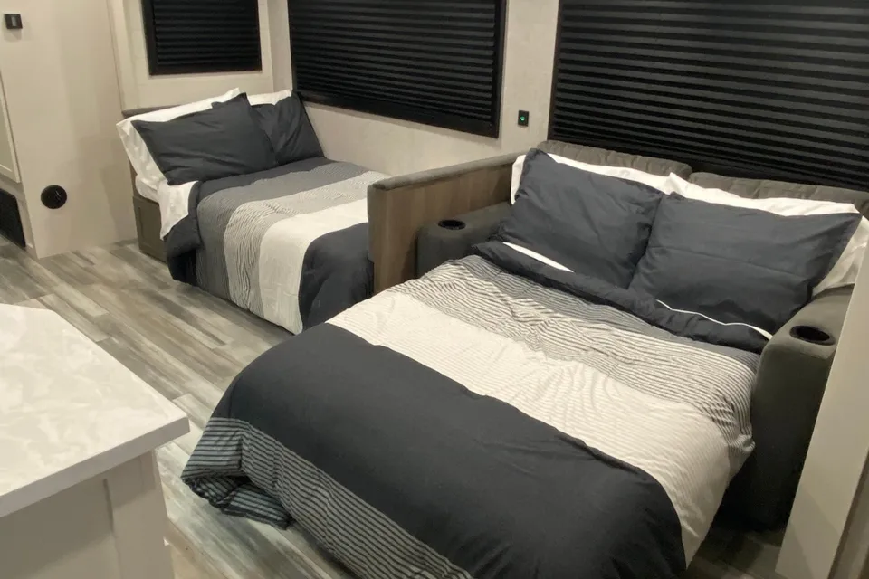
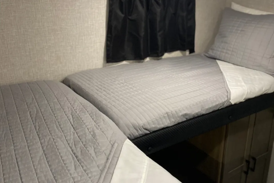
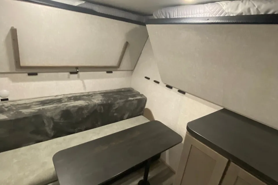
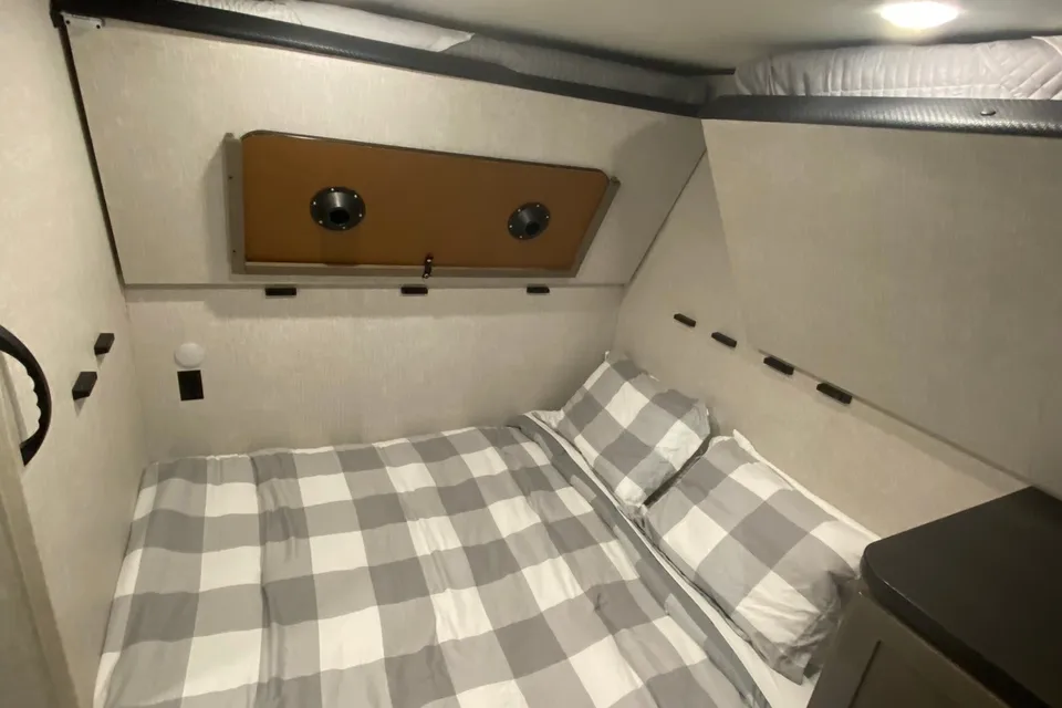
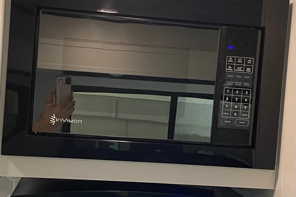
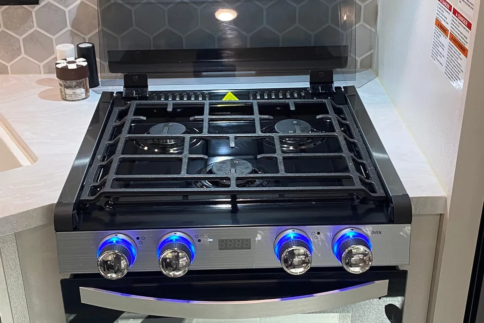
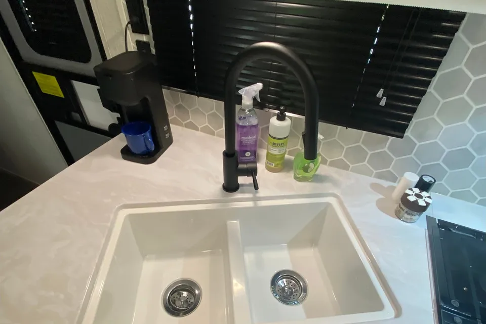
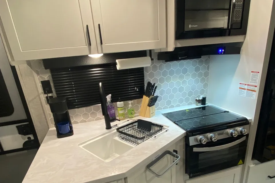
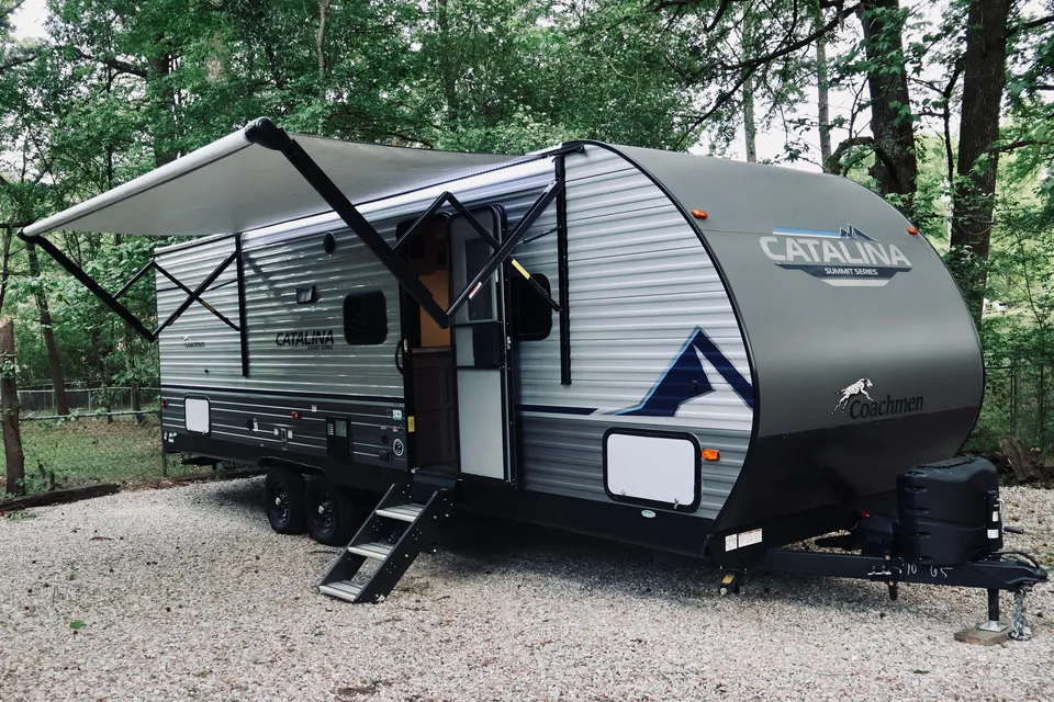
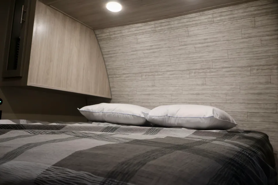
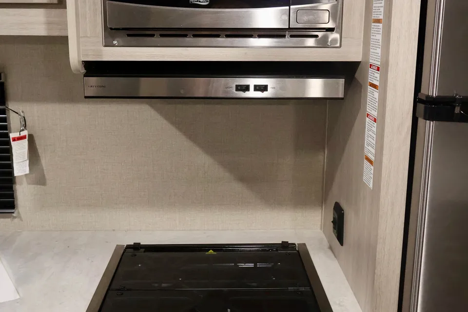
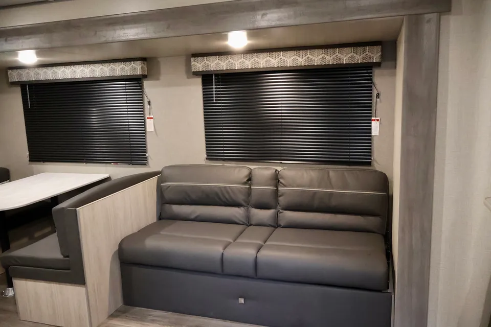
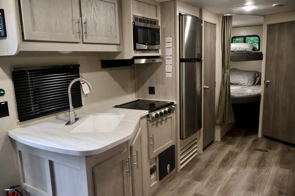
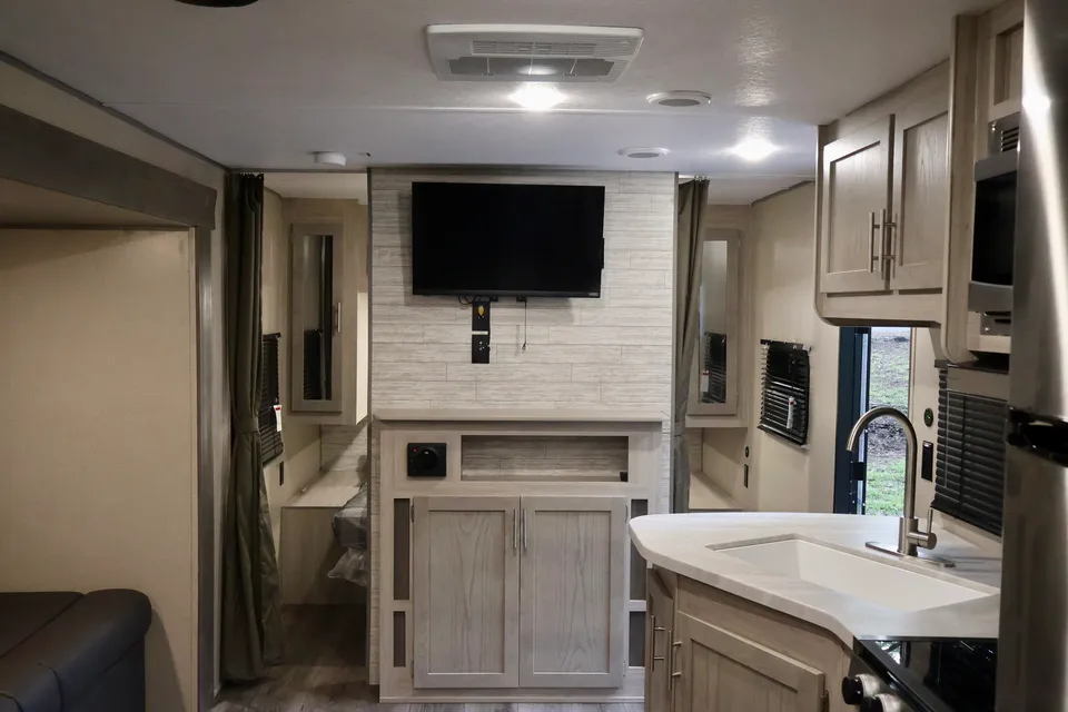
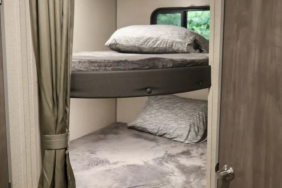
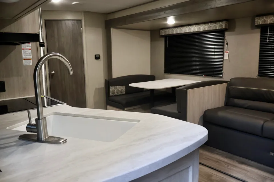
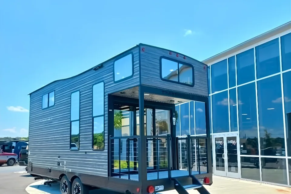
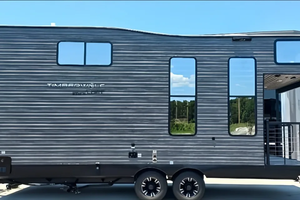
Featured RV rentals for Petit Jean State Park
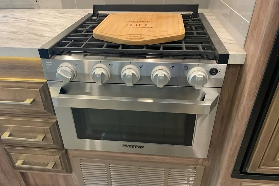
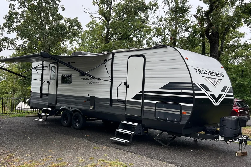
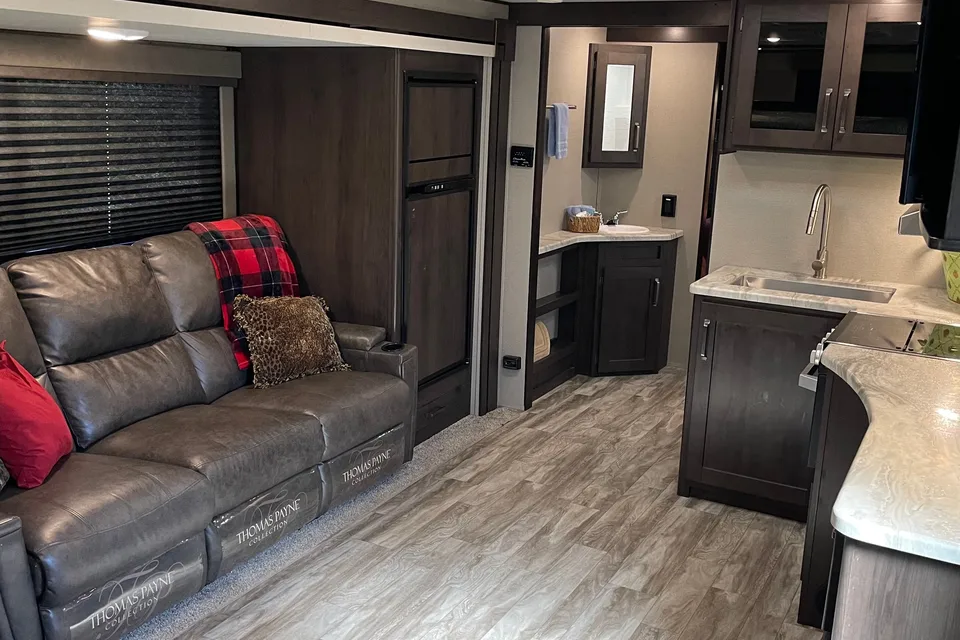
 Superhost
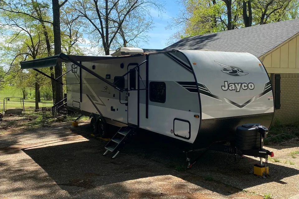


Best time to visit Petit Jean State Park
The best times to visit Petit Jean are mid-March through May and September through early November, when temperatures are mild and Cedar Falls typically flows strongest after spring rains. Summer is warm and humid with highs often in the 90s F, though shaded canyon trails and Lake Bailey help with the heat. Fall brings vivid hardwood color across the mountain and thinner weekend crowds after Labor Day. Winter is quiet and mostly open, with occasional ice that can affect trails and steep park roads.
Cool, occasional ice on steep park roads
Cold snaps possible, trails generally open
Spring rains boost Cedar Falls flow
Peak wildflower and waterfall season
Warm, busy weekends, book sites early
Hot and humid, summer peak begins
Hottest month, hike early in the day
Hot, Cedar Falls flow can diminish
Cooler shoulder season, good RV weather
Fall foliage peak, weekends fill quickly
Crisp and quiet, good hiking weather
Cold, occasional winter storms on mountain
Things to do at Petit Jean State Park
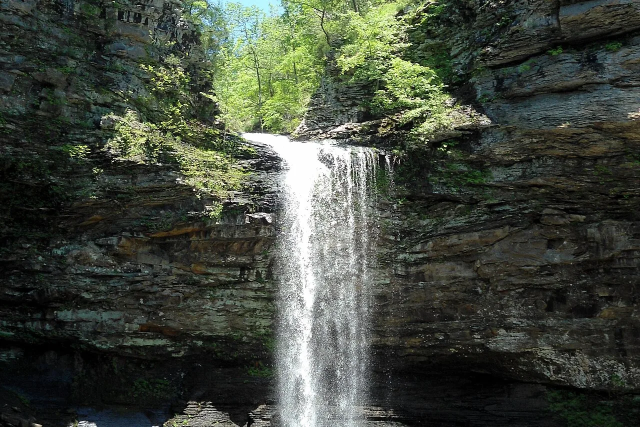
- Cedar Falls Trail Moderate
Cedar Falls Trail is a 2-mile round-trip hike from Mather Lodge down into Cedar Creek Canyon to a 95-foot waterfall, the park's signature attraction. The trail is rocky with a steep descent and climb back out. Trailhead parking near the lodge accommodates passenger vehicles and tow vehicles once the RV is set up at camp.
- Cedar Creek Canyon Overlook EasyRV parking available
Cedar Creek Canyon Overlook is a short walk from a paved pullout offering sweeping views into the canyon carved by Cedar Creek. It is one of the most RV-friendly stops in the park, with roadside parking suitable for tow vehicles and smaller rigs.
- Bear Cave Trail EasyRV parking available
Bear Cave Trail is a short loop through sandstone crevices, boulders, and slot-like passages on top of the mountain. The trail is family friendly and accessed from a day-use parking area that fits tow vehicles and small RVs.
- Seven Hollows Trail ModerateRV parking available
Seven Hollows Trail is a 4.5-mile loop through forested box canyons, a natural bridge, and seasonal pools. It is the park's premier long day hike and begins at a dedicated trailhead with parking suitable for tow vehicles.
- Lake Bailey EasyRV parking available
Lake Bailey is a 170-acre park lake popular for bass and bream fishing, paddling, and pedal boating. A day-use area with boat ramp, pavilions, and restrooms offers parking space suitable for trucks and smaller RVs.
- Rock House Cave and Turtle Rocks Easy
Rock House Cave is a large sandstone shelter with Native American pictographs, reached by a short trail that also passes the unusual Turtle Rocks formations. The trailhead has a small gravel lot best suited to tow vehicles rather than large Class A motorhomes.
- Mather Lodge and CCC Historic District EasyRV parking available
Mather Lodge is a Civilian Conservation Corps stone and timber lodge perched on the rim of Cedar Creek Canyon, surrounded by CCC-built cabins and trails. The lodge area offers a restaurant, interpretive displays, and overlook parking near the main park road.
RV delivery to a campground, made simple
Skip the pickup. Skip the towing. Get an RV delivered and set up at your campsite so you can arrive, unpack, and start your trip stress-free.
Choose your perfect RV
Browse RVs that offer delivery to your site and book the one that fits your budget and adventure style.
Lock in your campsite
Reserve your campsite with the hookups and amenities you need. We’ll help you find RVs that meet site requirements.
Arrive and relax
Your host delivers and sets up the RV before you get there. Just show up and start enjoying your trip.
Find the perfect RV for these nearby campgrounds
RV Rentals Petit Jean State Park
Petit Jean State Park, AR, United States
How to get to Petit Jean State Park
Petit Jean State Park sits atop Petit Jean Mountain about 20 miles southwest of Morrilton via State Highway 9 and Highway 154, roughly a one-hour drive from Little Rock and about two hours from Fort Smith. RV drivers should expect a steady climb up Highway 154 with curves and grades as the road ascends the mountain, and should check rig height and length before choosing a route. There are no tunnels or tolls, but long or tall rigs should avoid narrow secondary roads and stick to Highway 154 from the north or Highway 155 from the south. The nearest major airport for fly-and-rent trips is Bill and Hillary Clinton National Airport in Little Rock, about 75 miles east.
RVezy vs. Traditional RV rental
RVezy rentals
- Book directly from local RV owners
- Choose the exact RV you want
- Delivery to your campsite, home, or destination
- More variety: trailers, motorhomes, and campers
Traditional RV rental
- Limited fleet from a rental company
- Exact RV not guaranteed
- Pickup only at retail locations
- Fewer RV types and less availability