Tonto Natural Bridge State Park - United States
Discover the RVezy RV rental marketplace
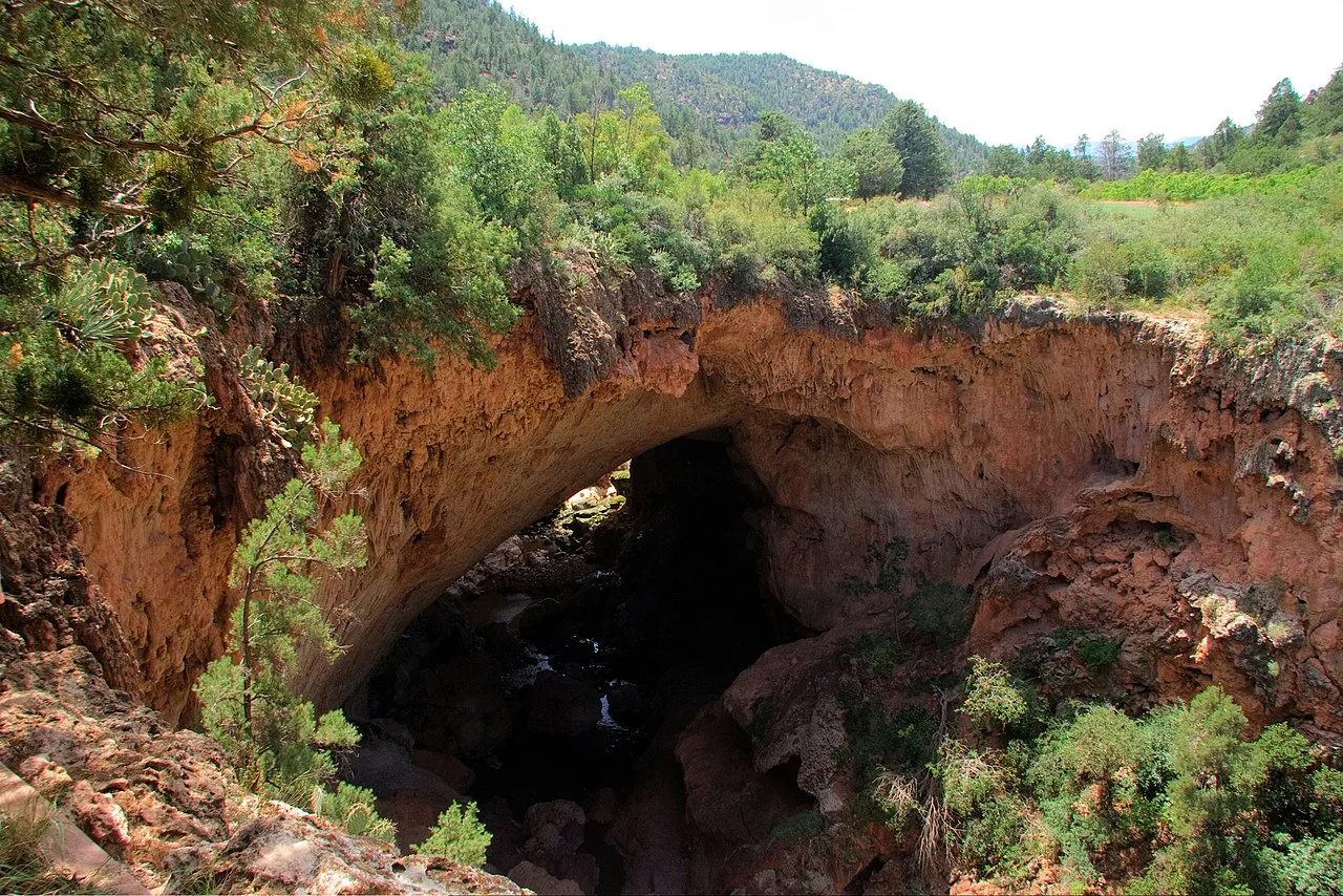
About Tonto Natural Bridge State Park
RV quick facts for Tonto Natural Bridge State Park
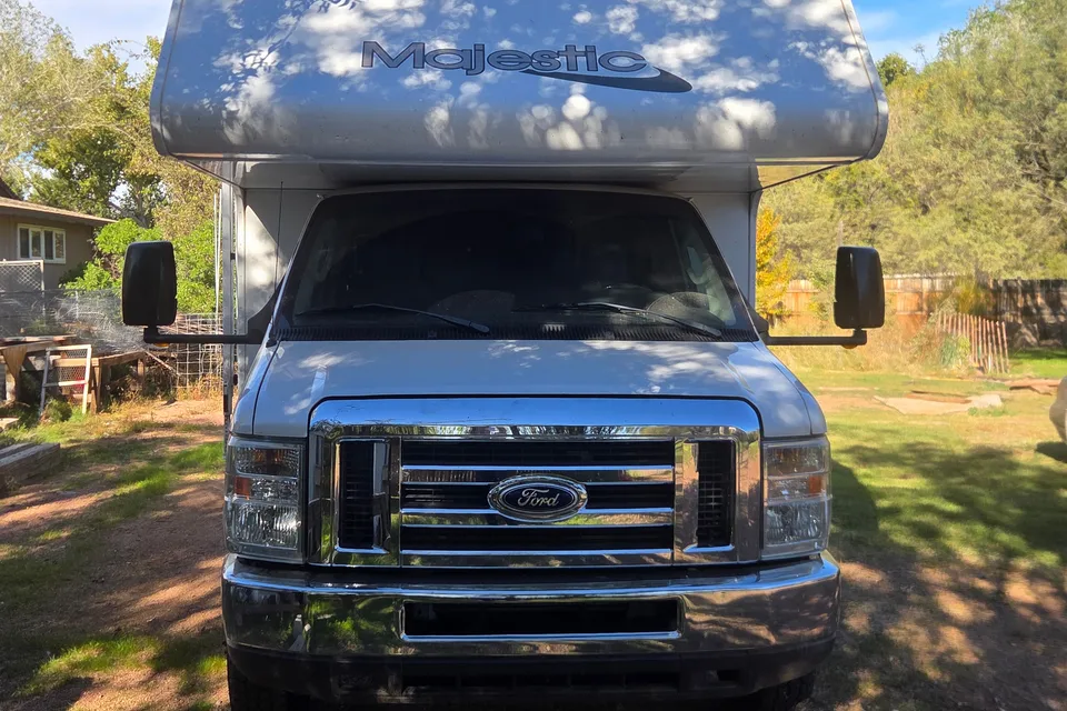
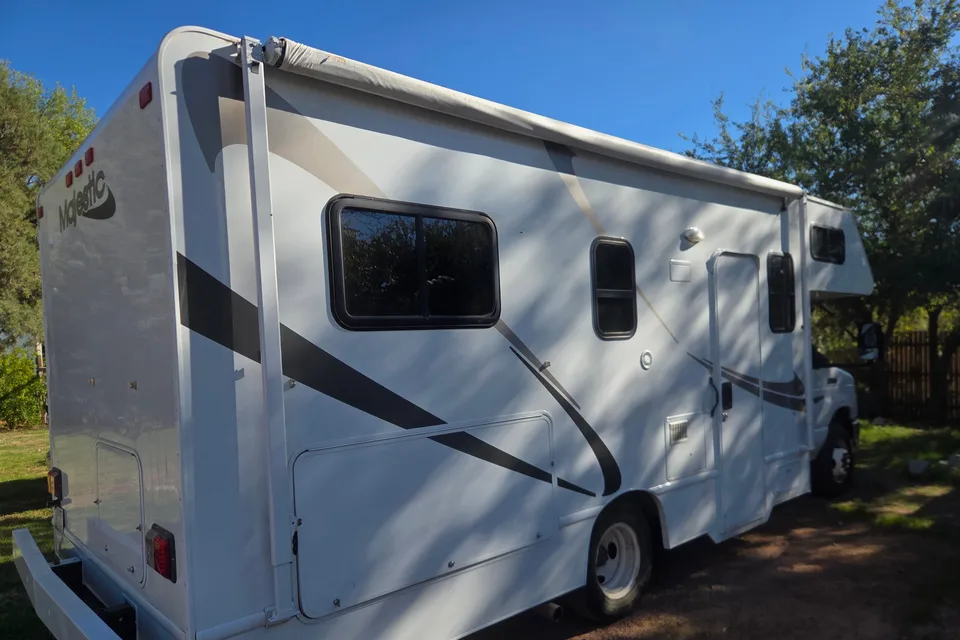
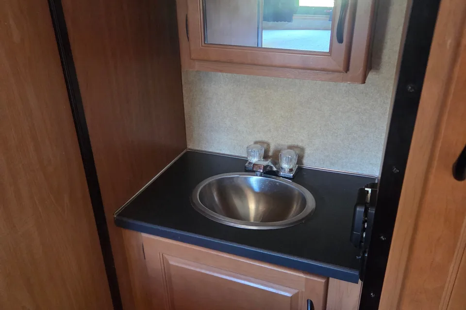
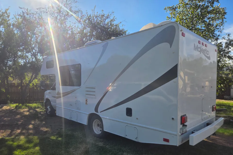
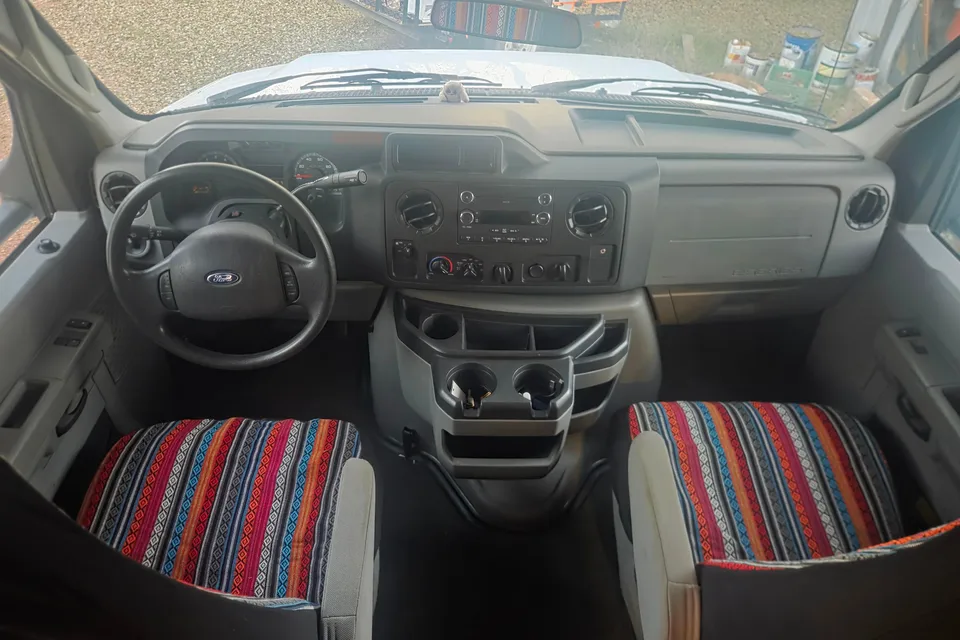
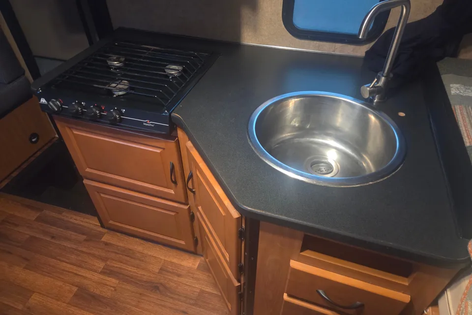
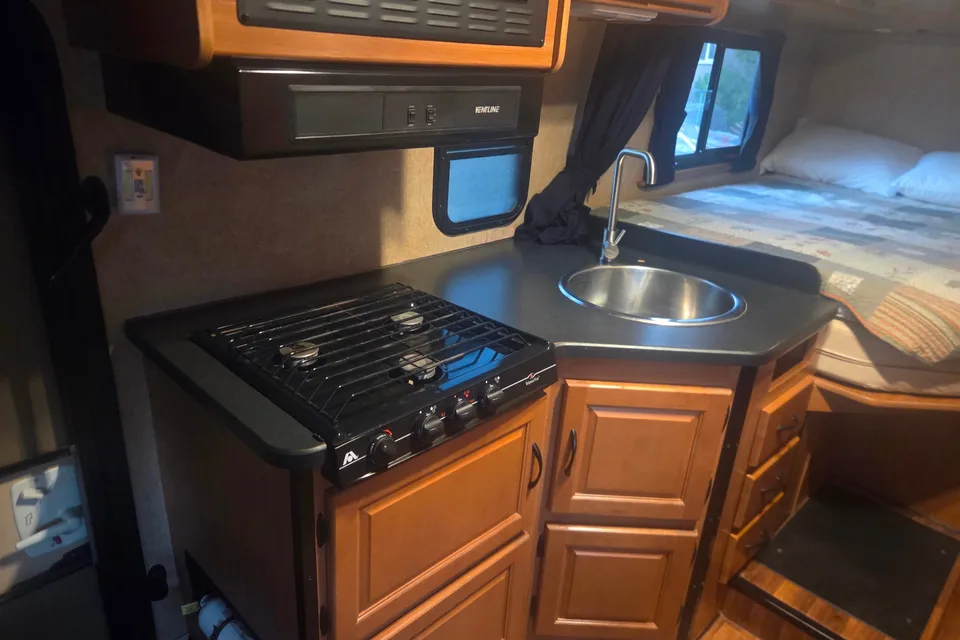
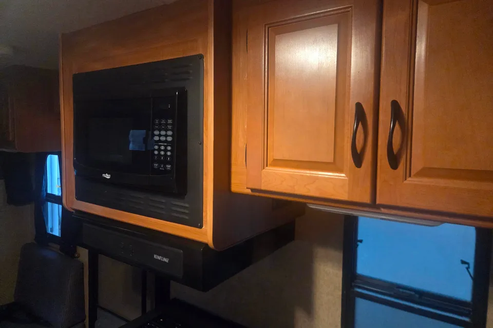
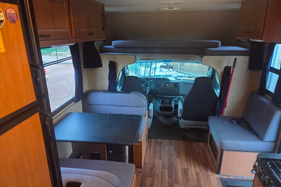
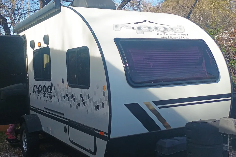
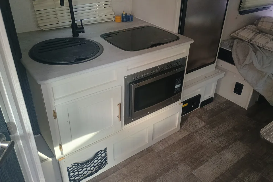
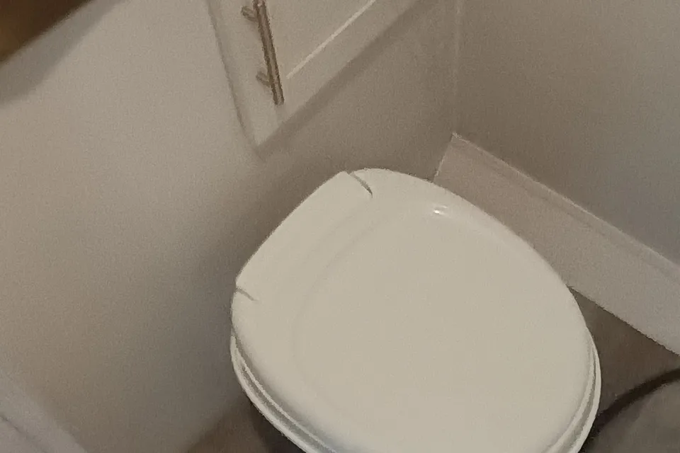
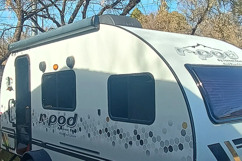
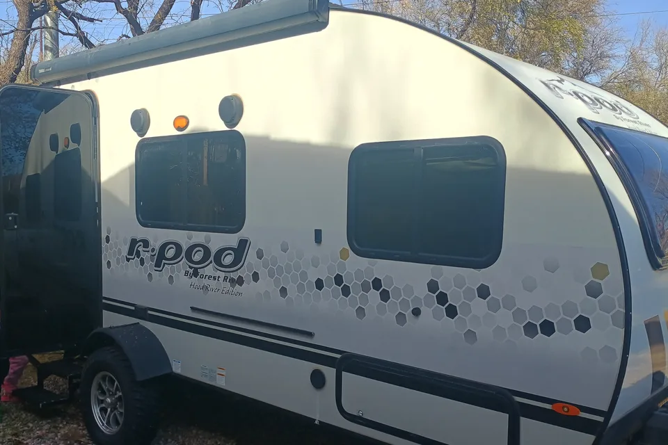
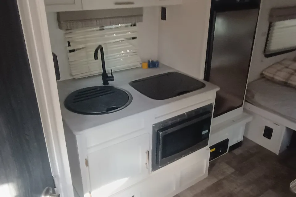
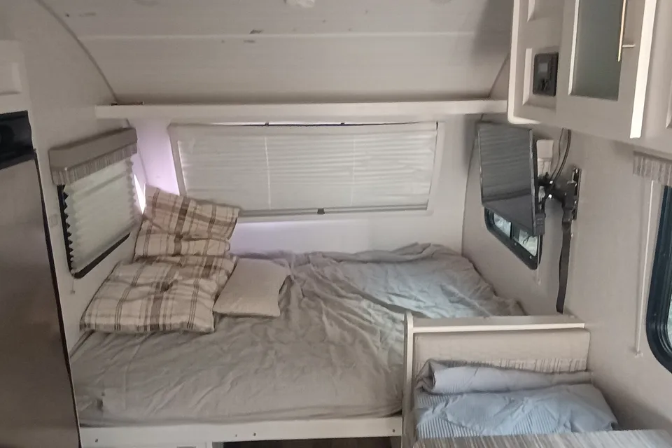
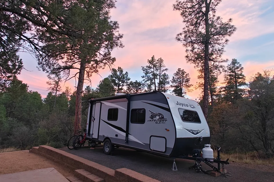
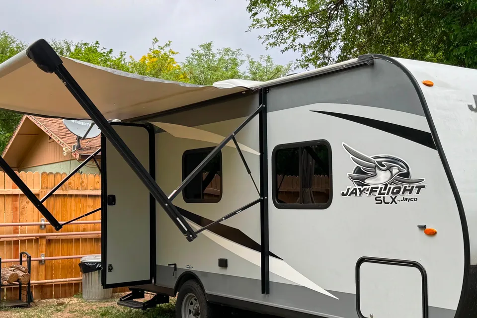
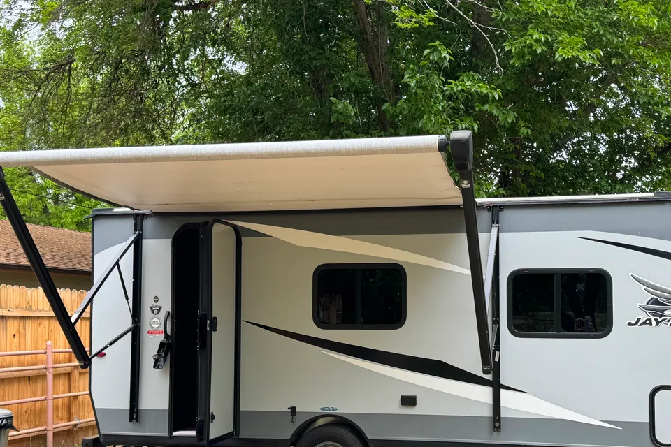
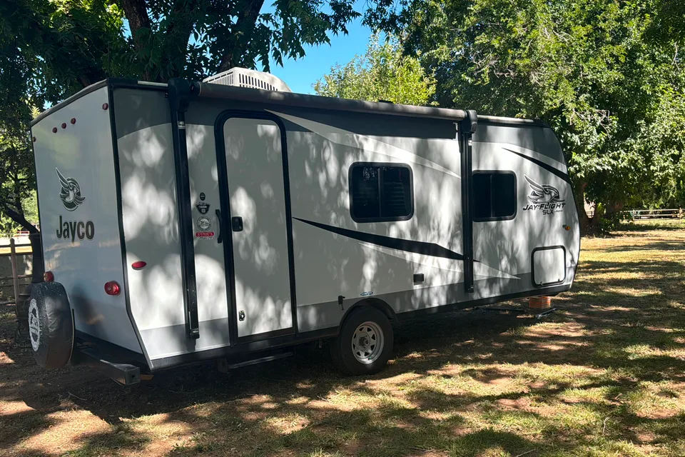
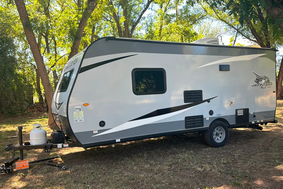
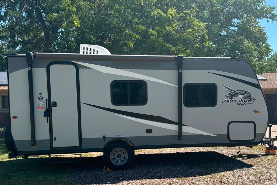
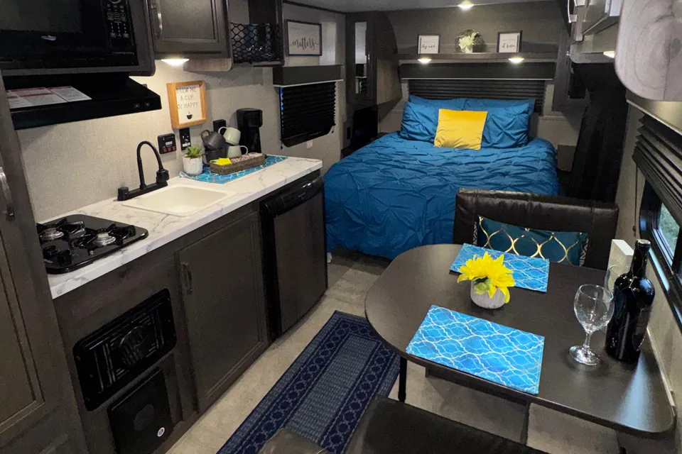
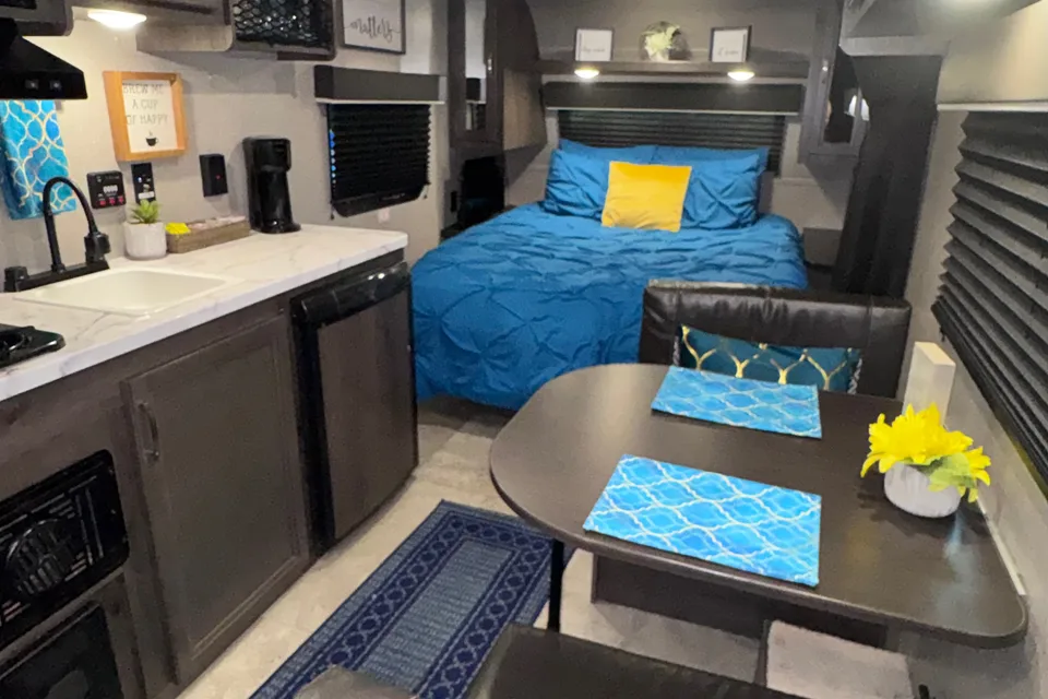
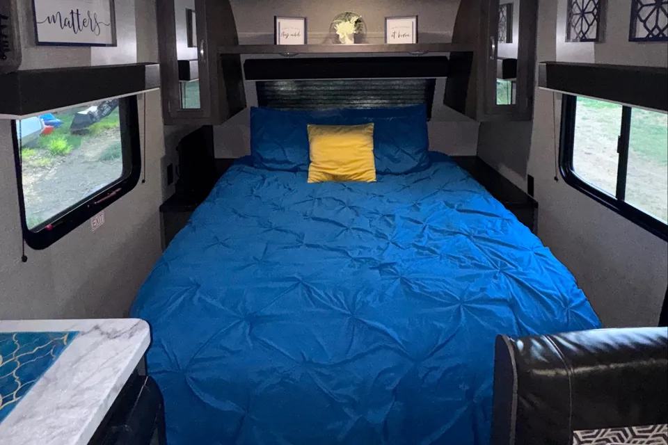
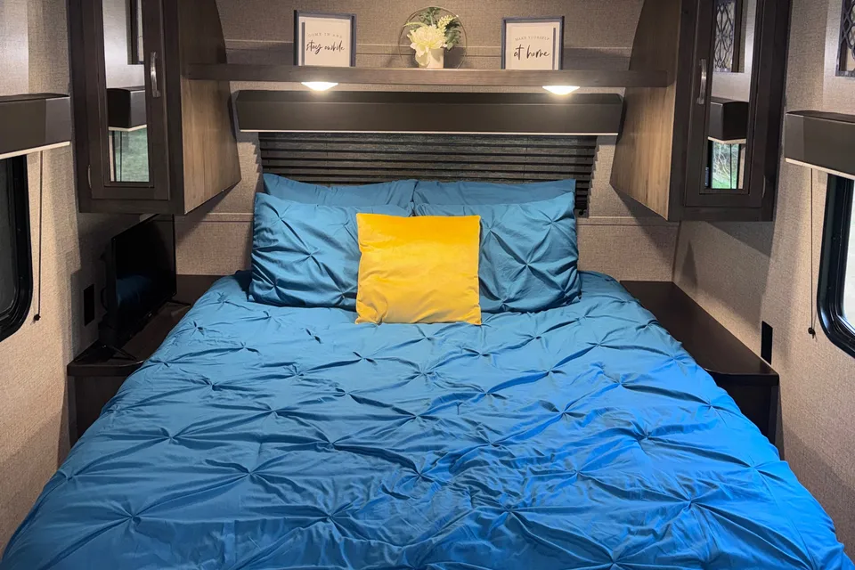
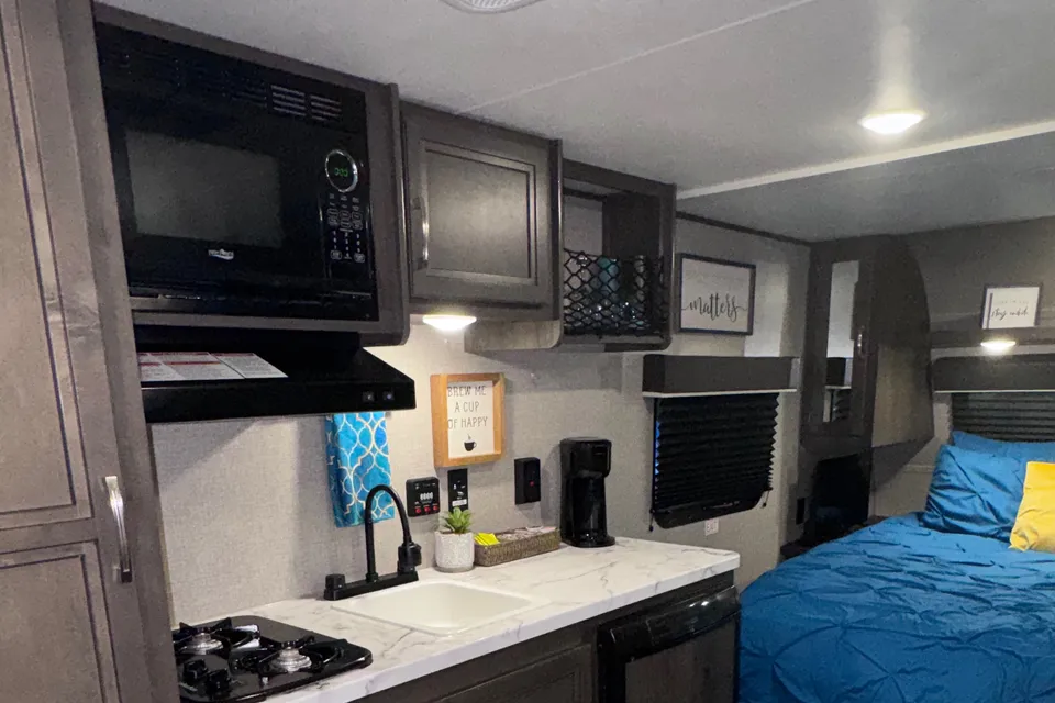
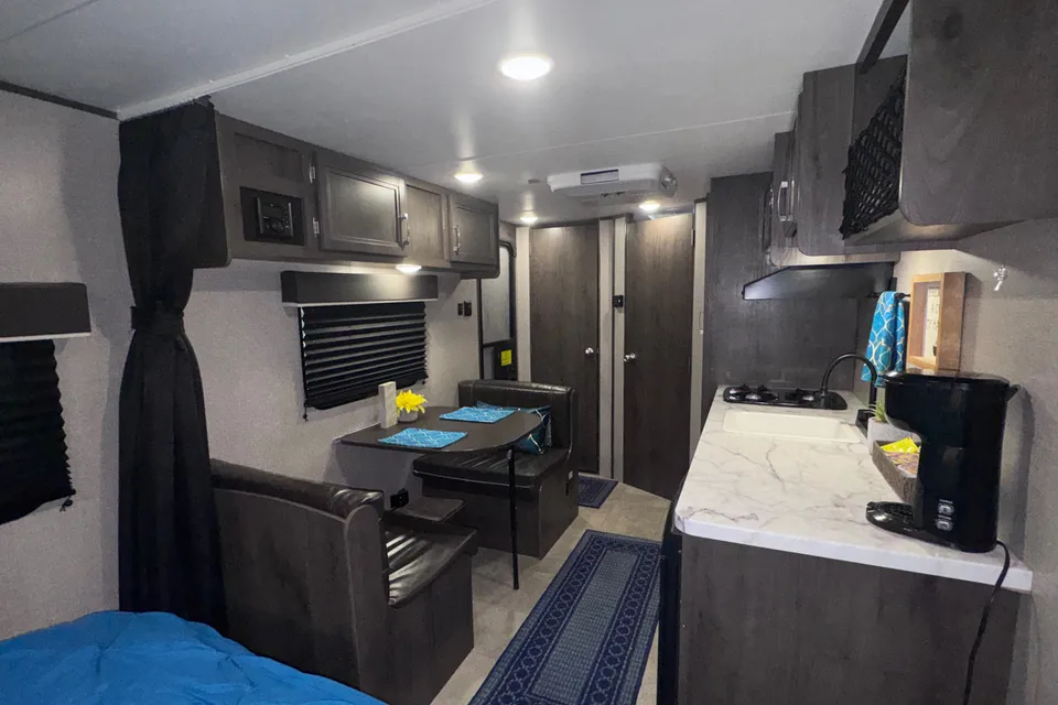
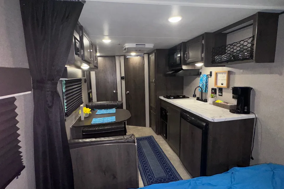
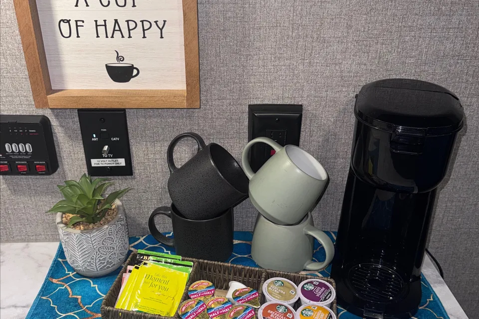
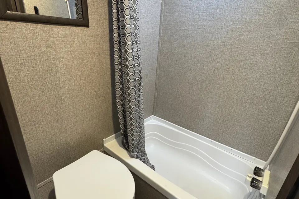
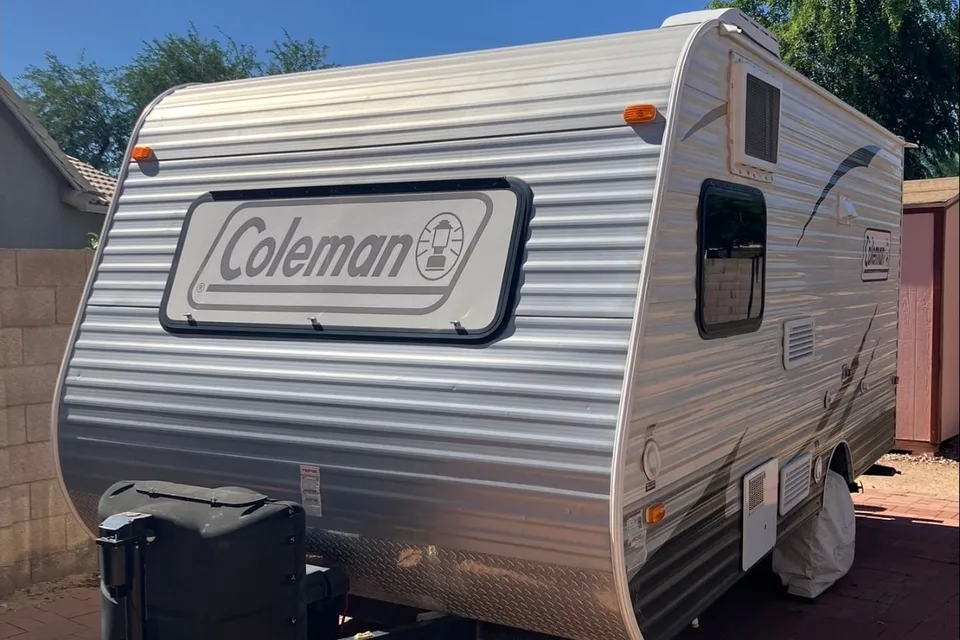
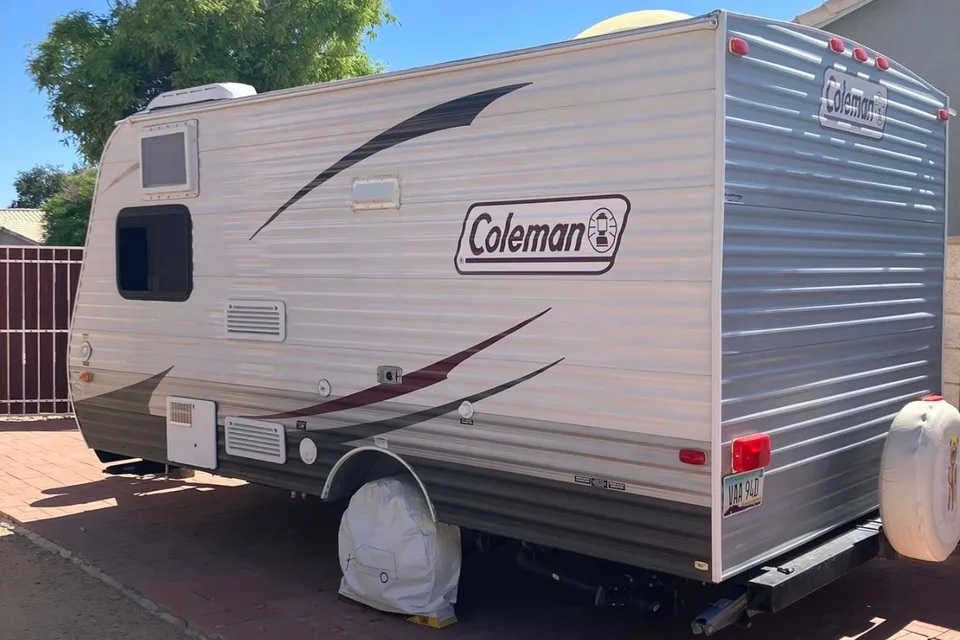
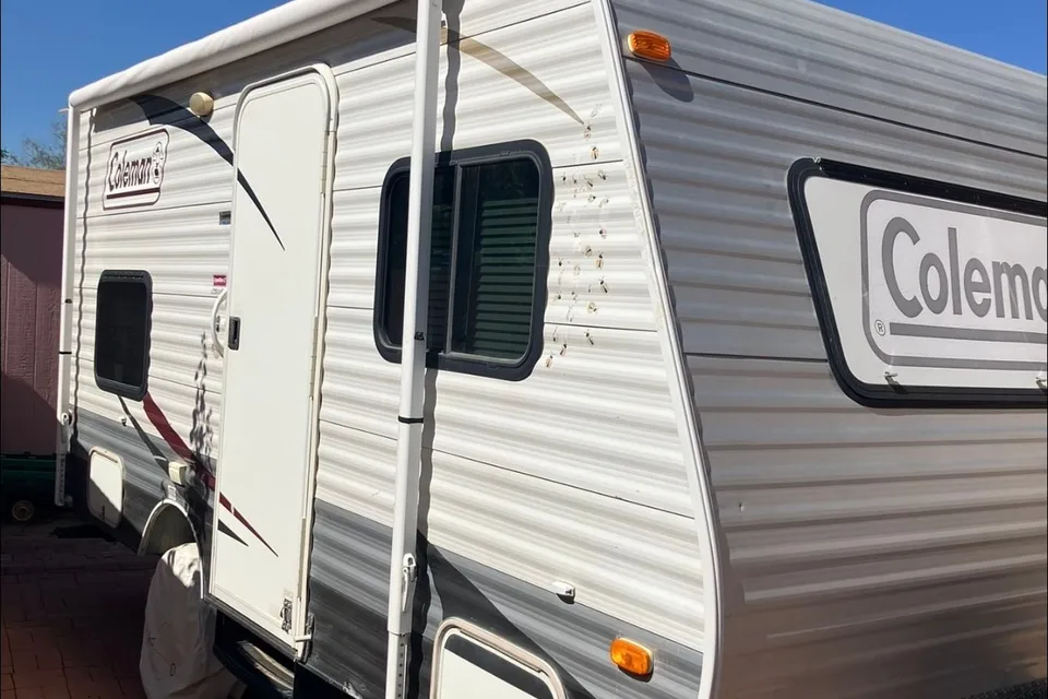
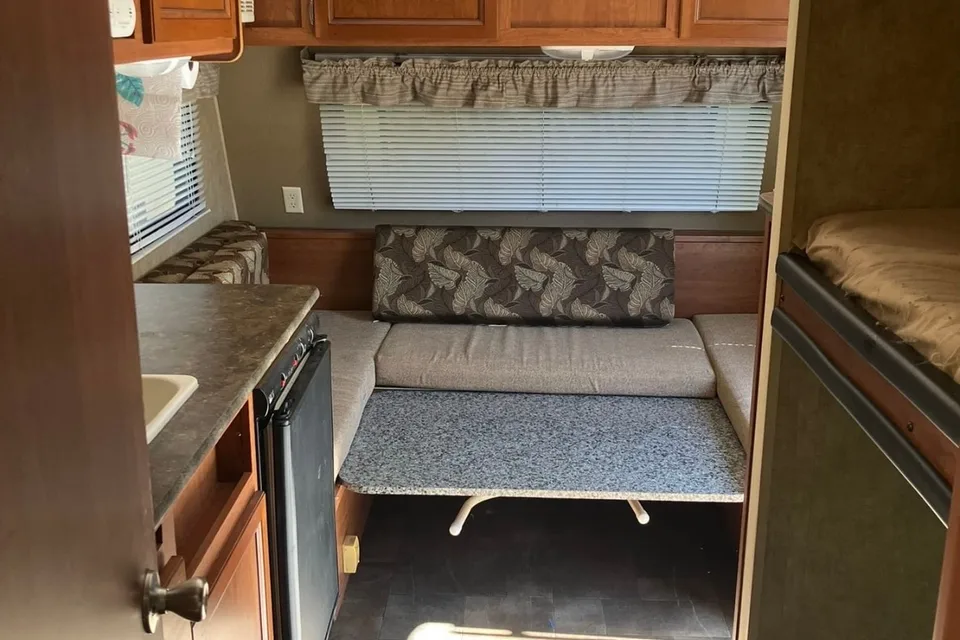
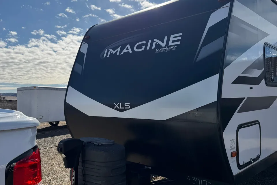
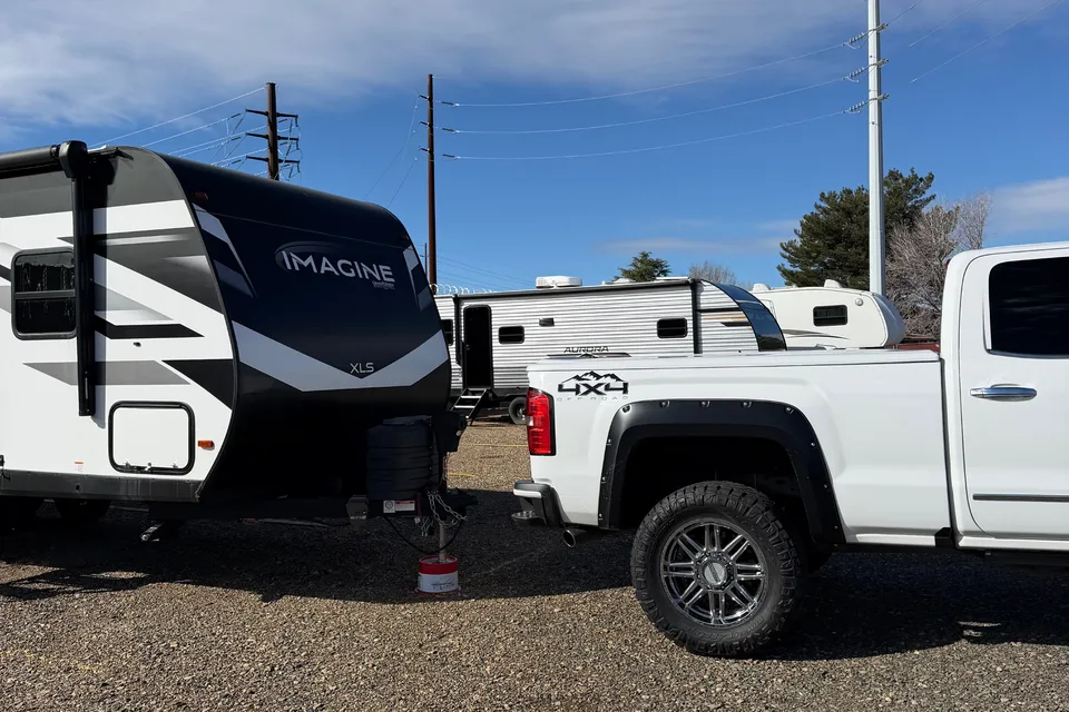
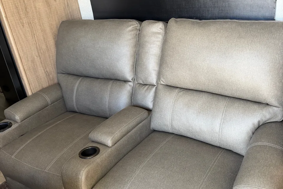
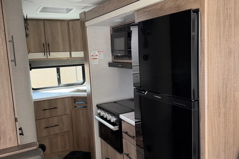
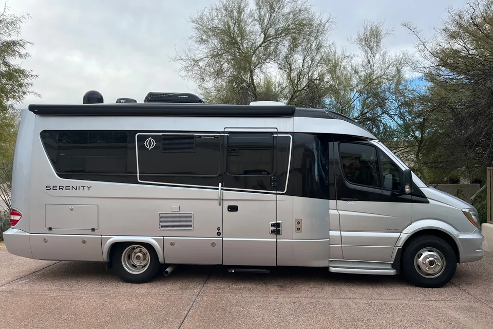
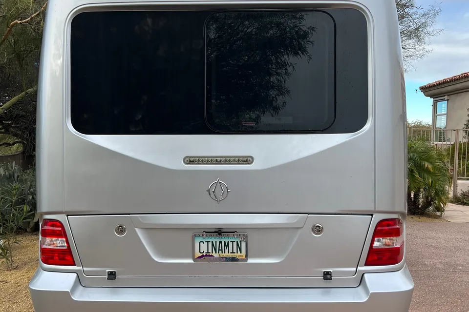
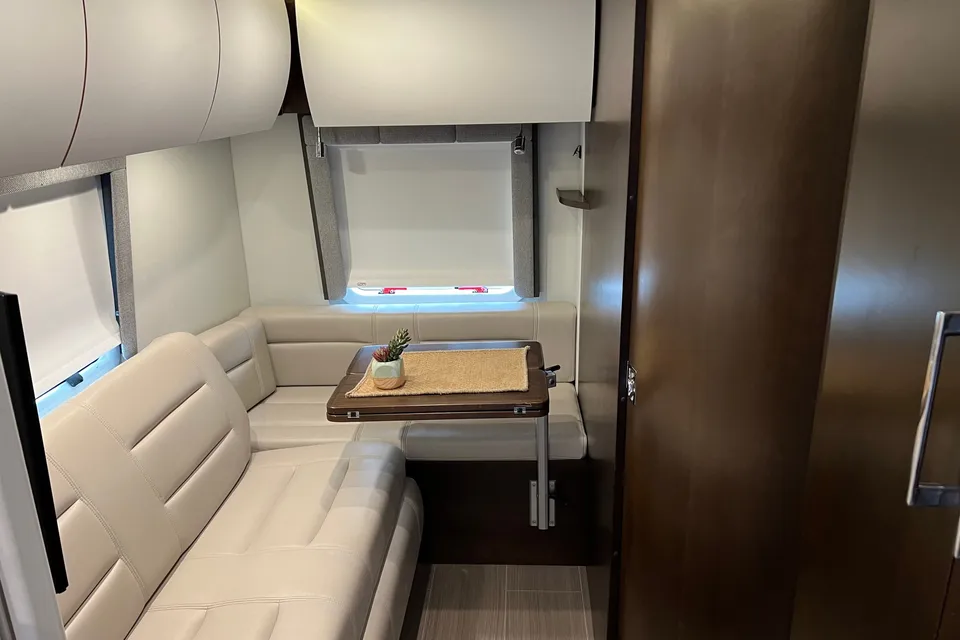
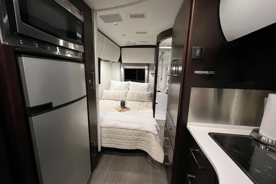
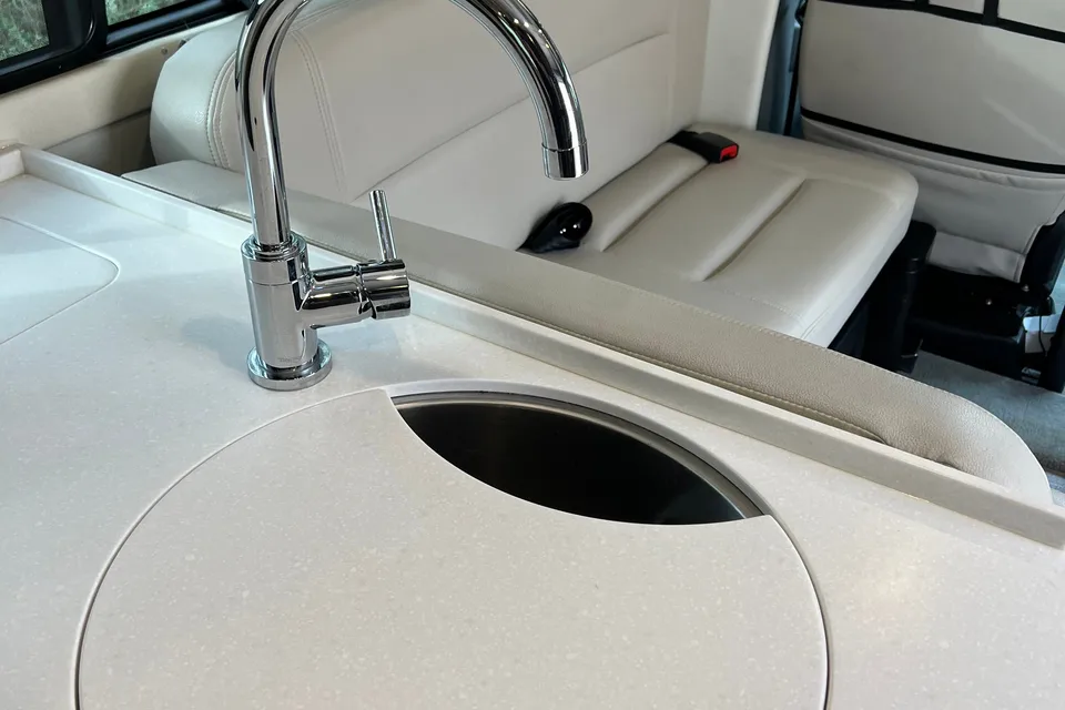
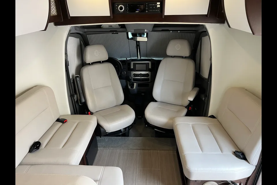
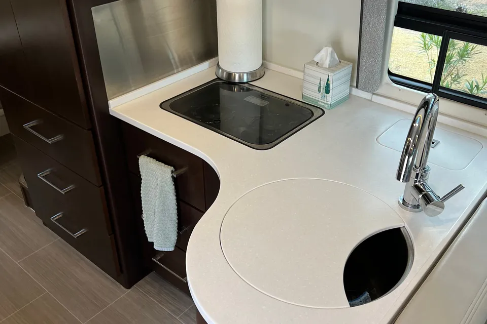
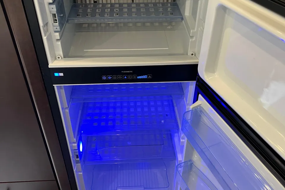
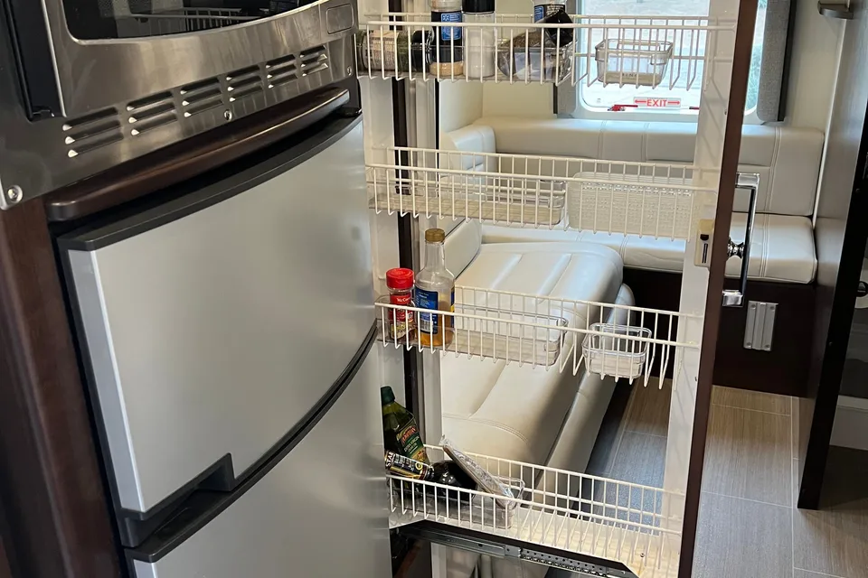
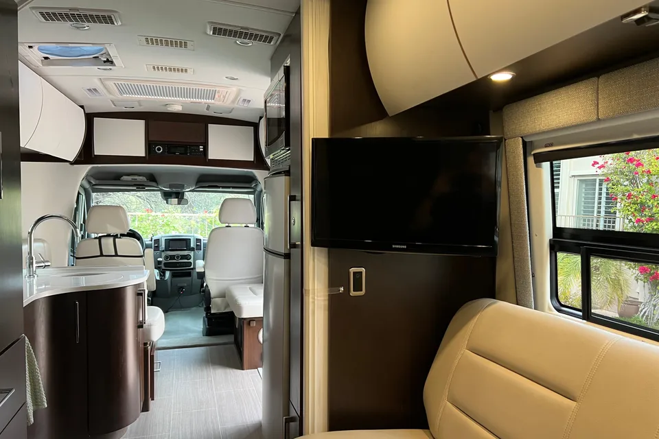
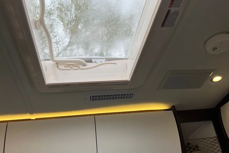
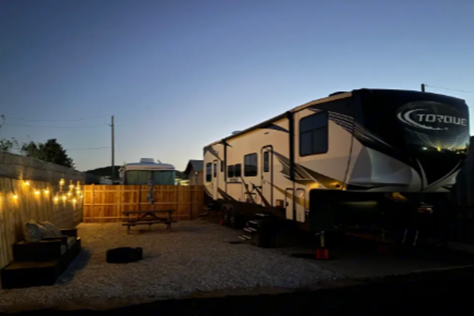
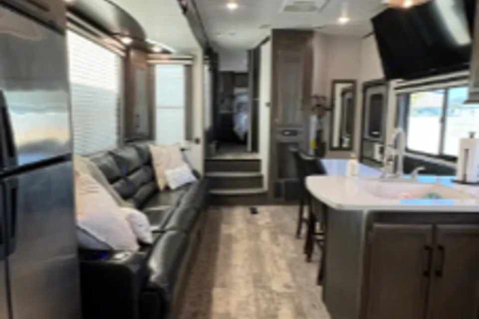
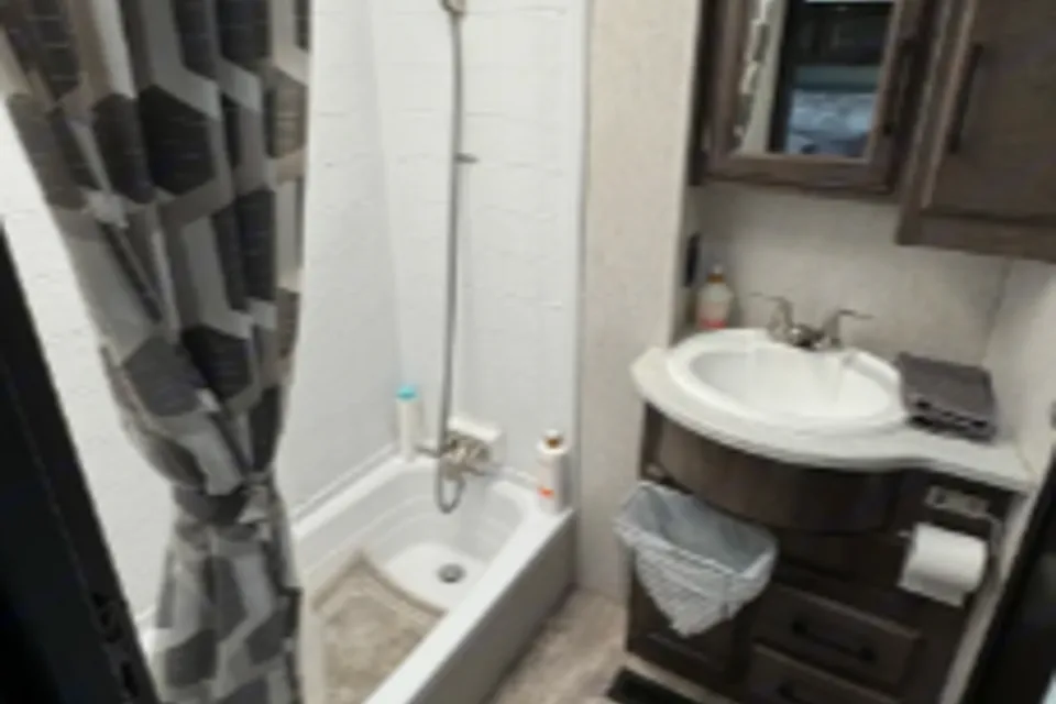
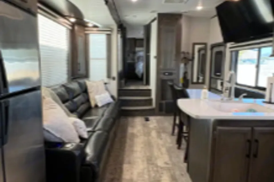
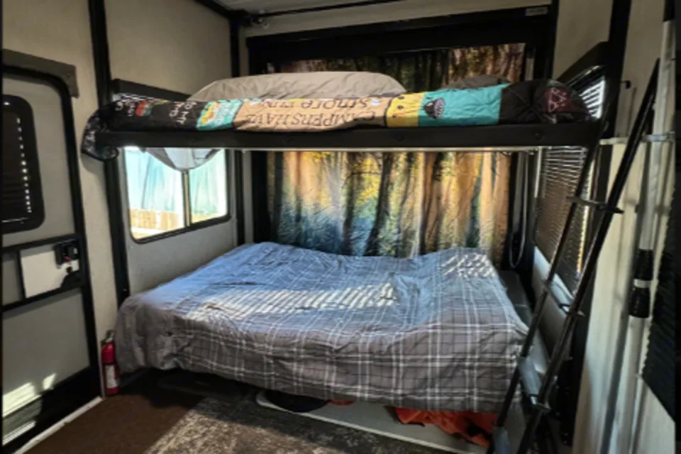
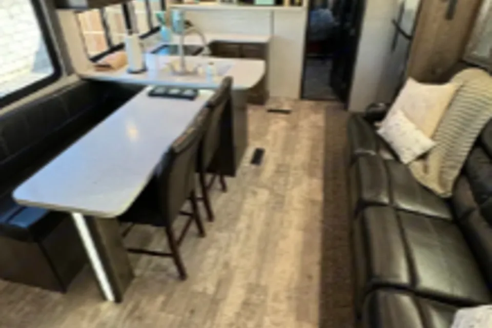
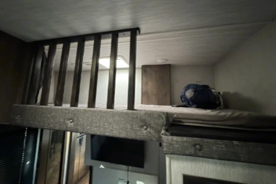
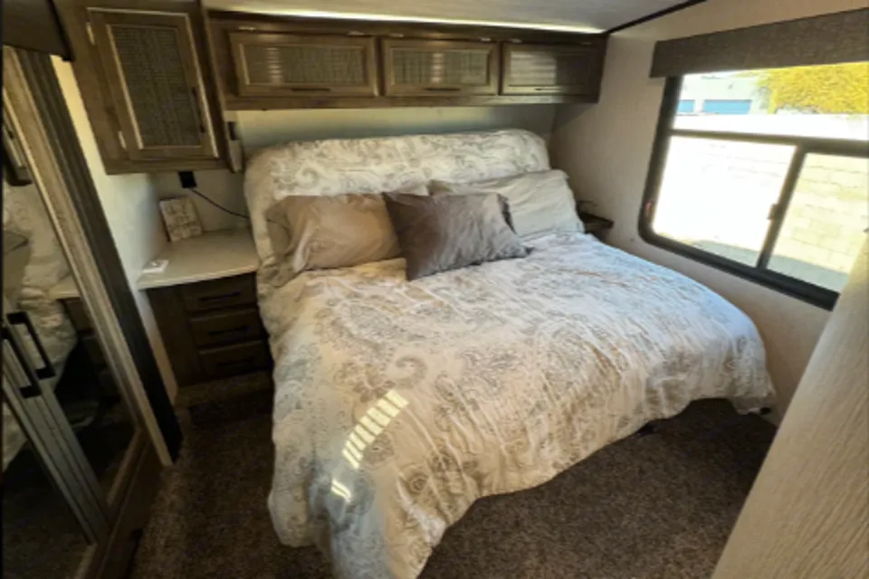
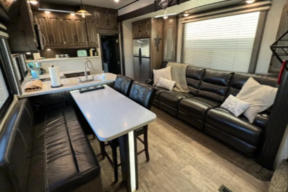
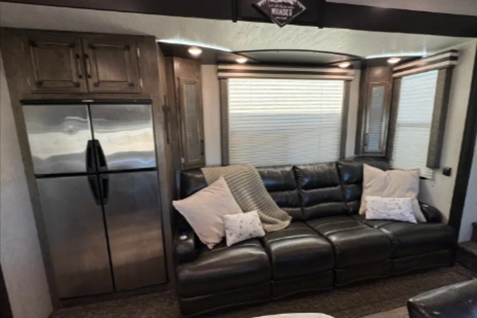
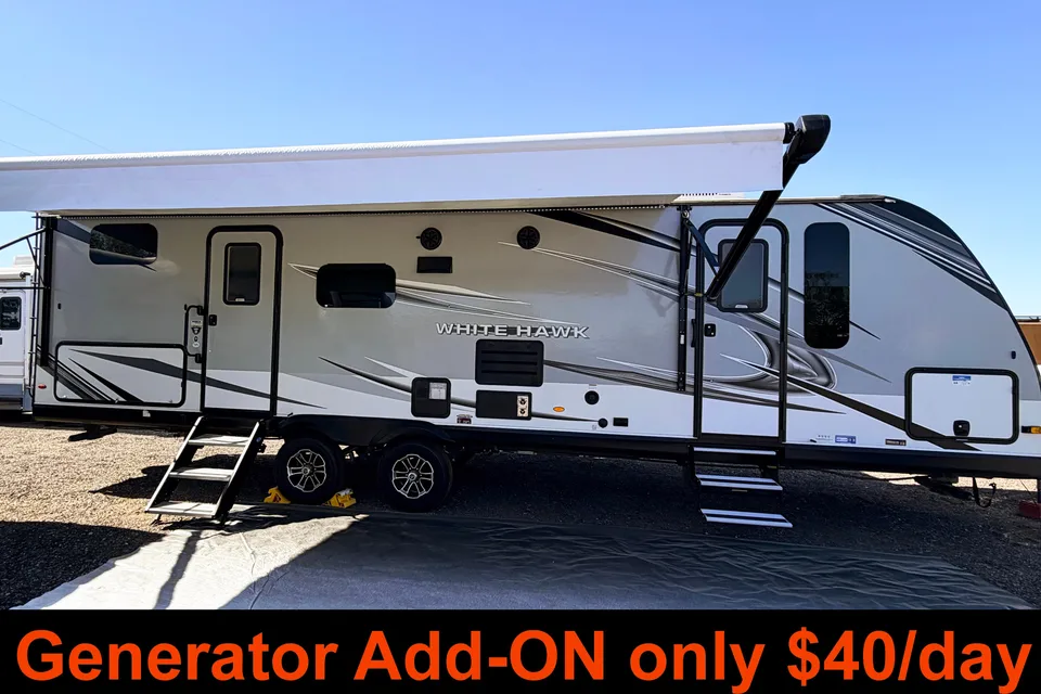
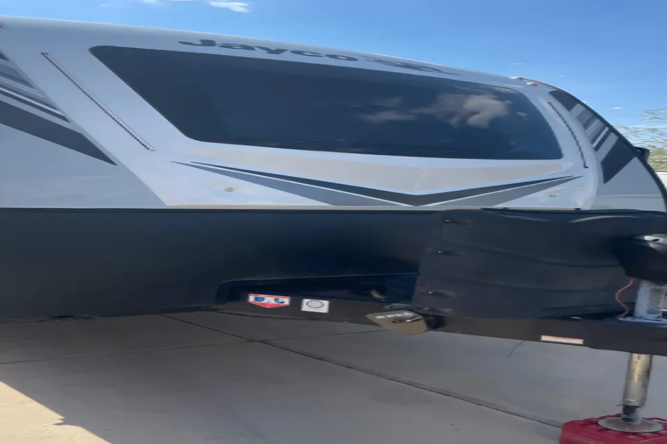
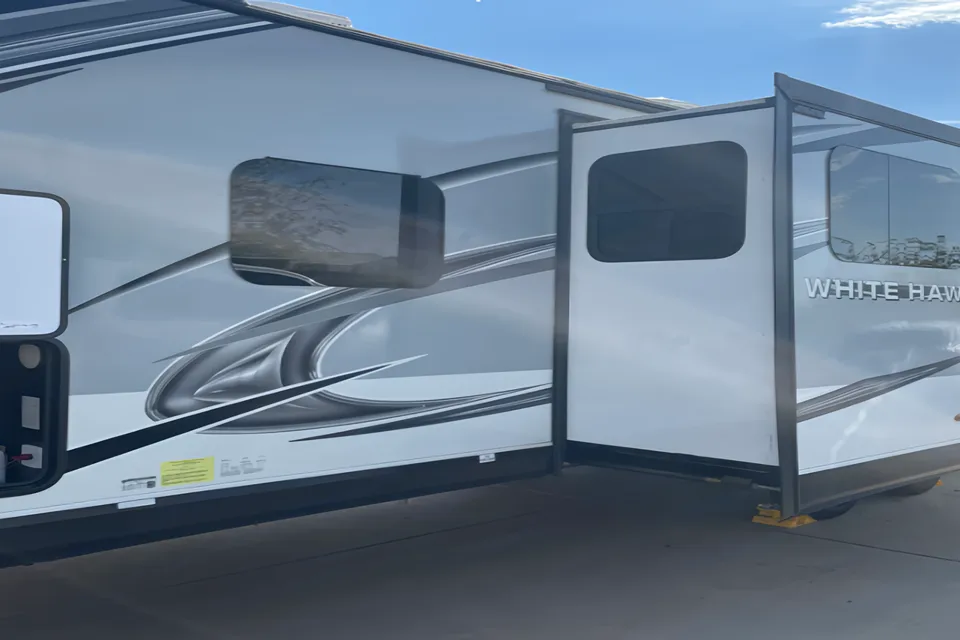
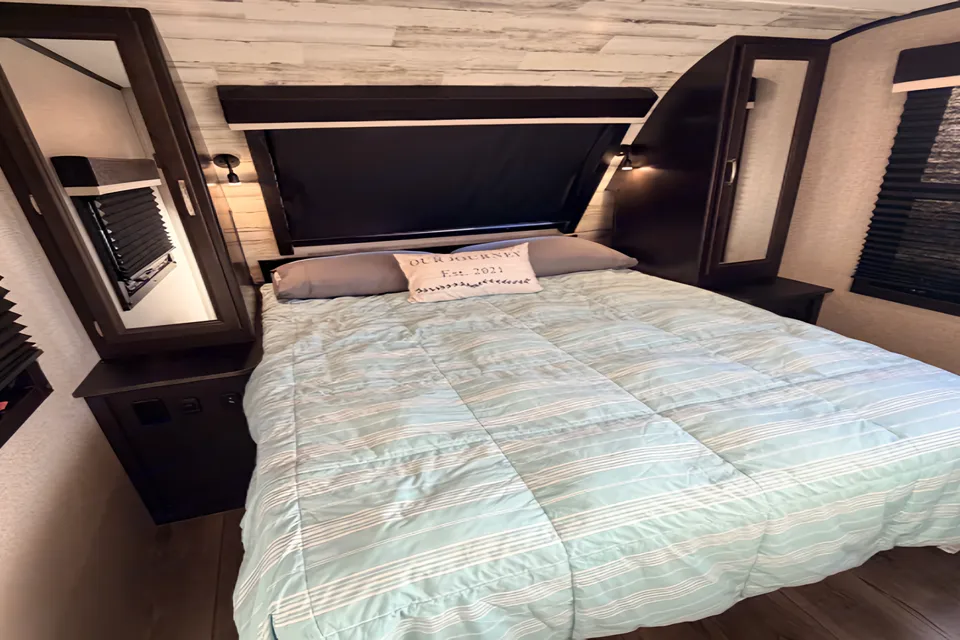
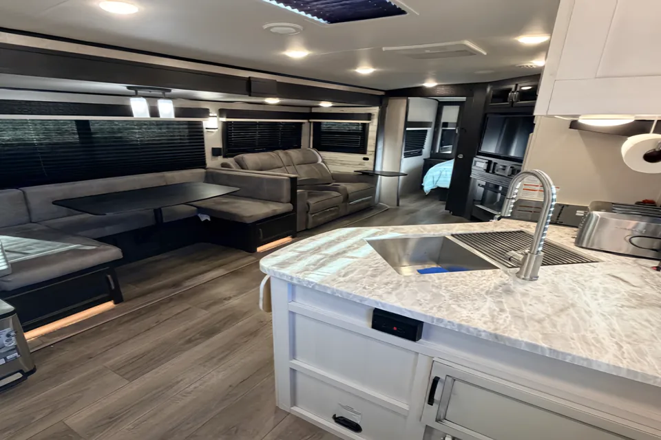
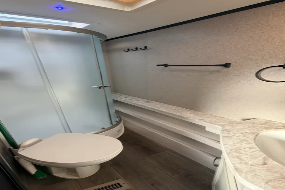
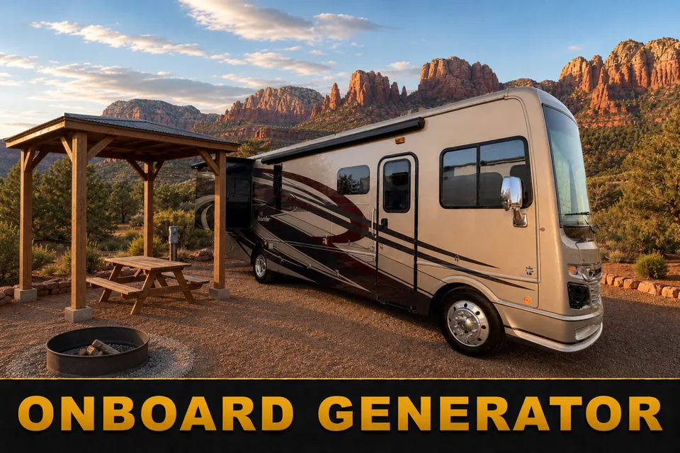
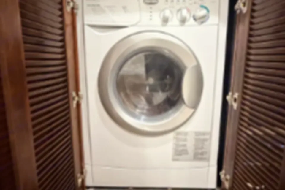
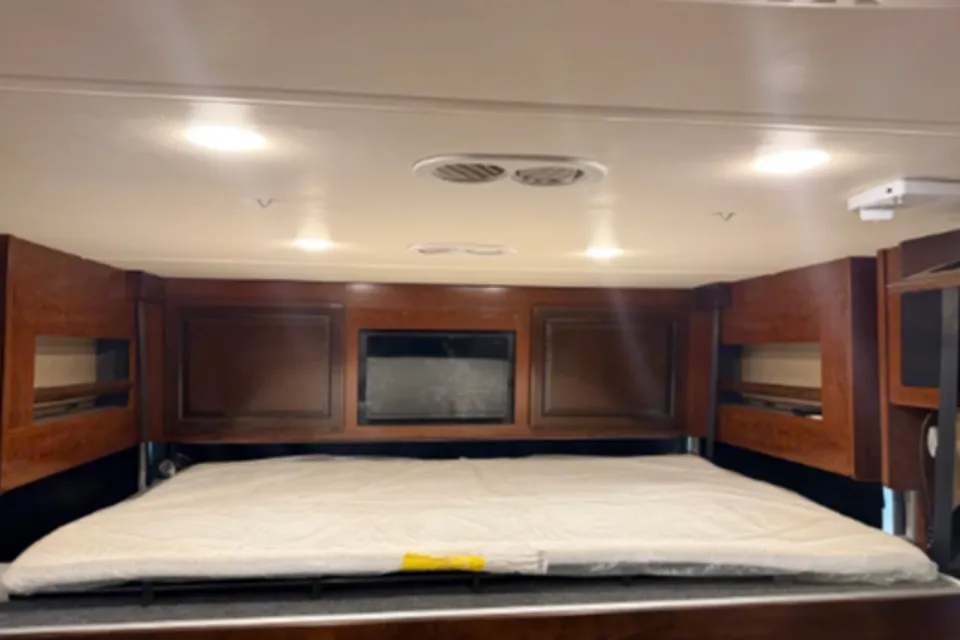
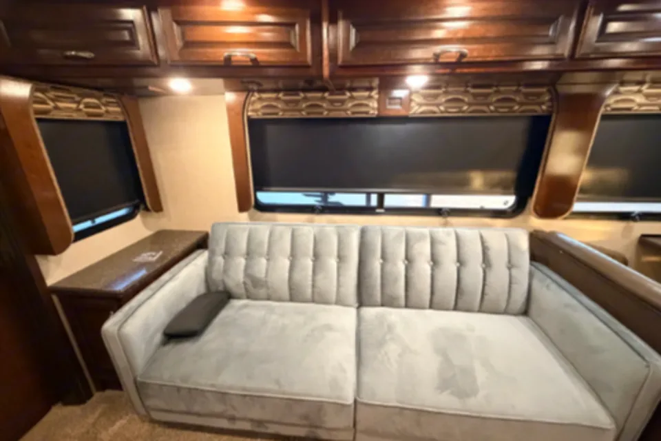
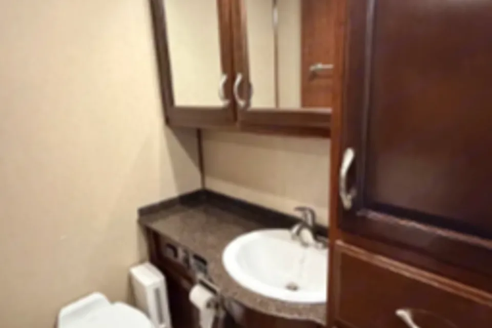
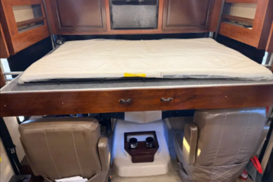
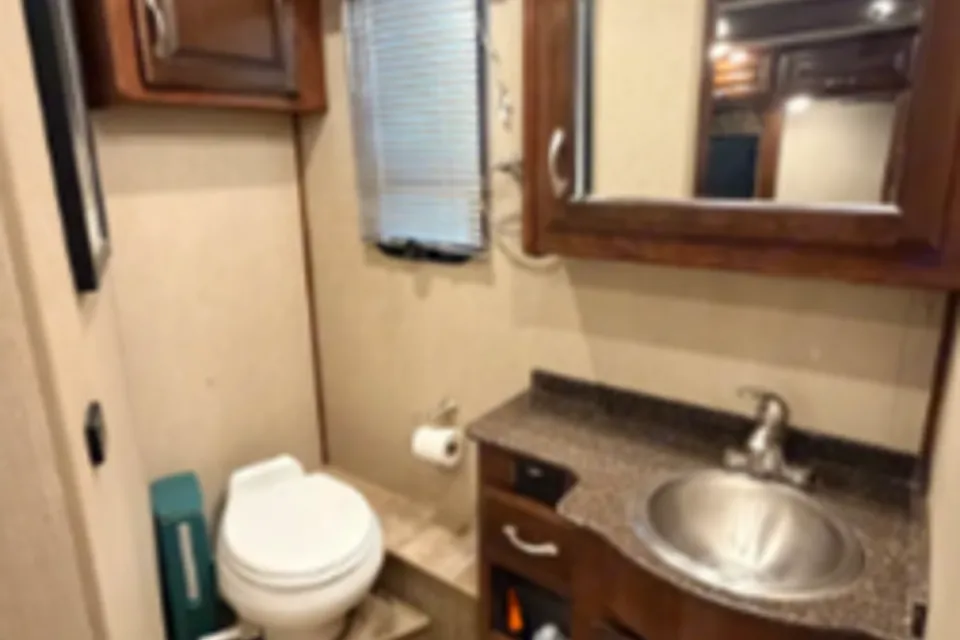
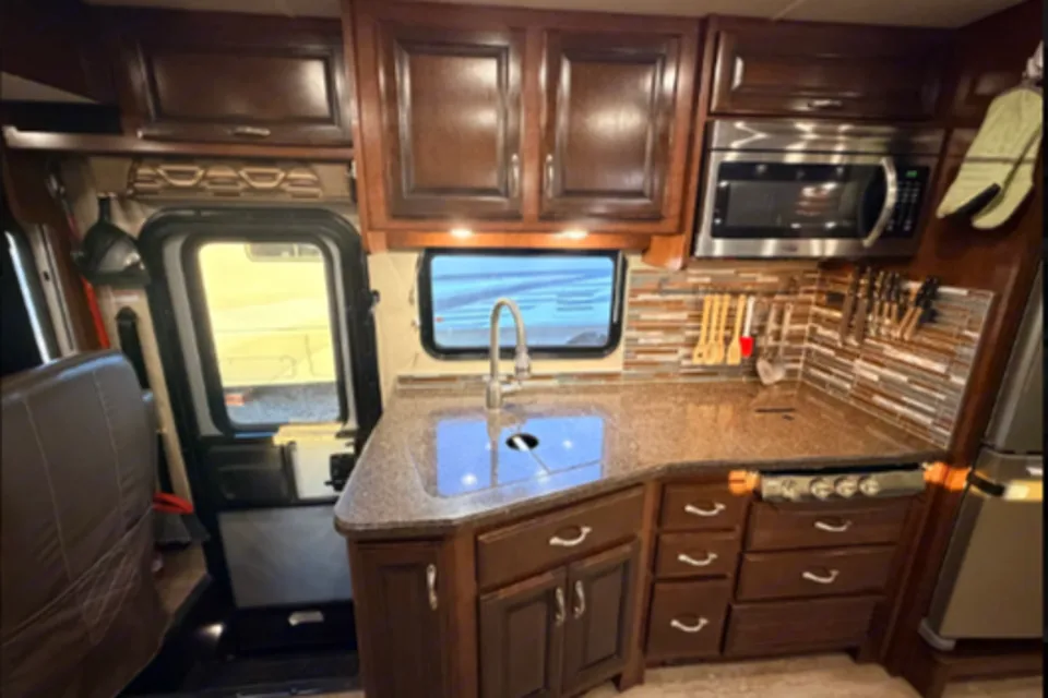
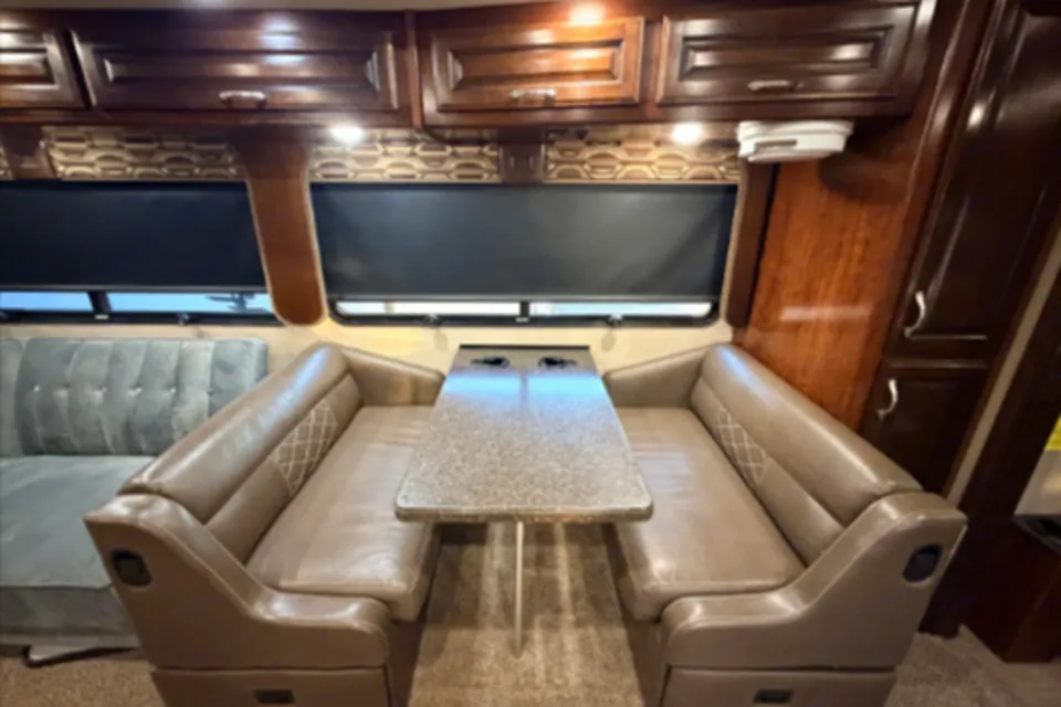
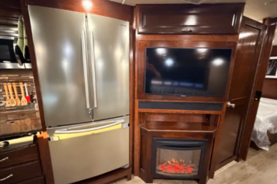
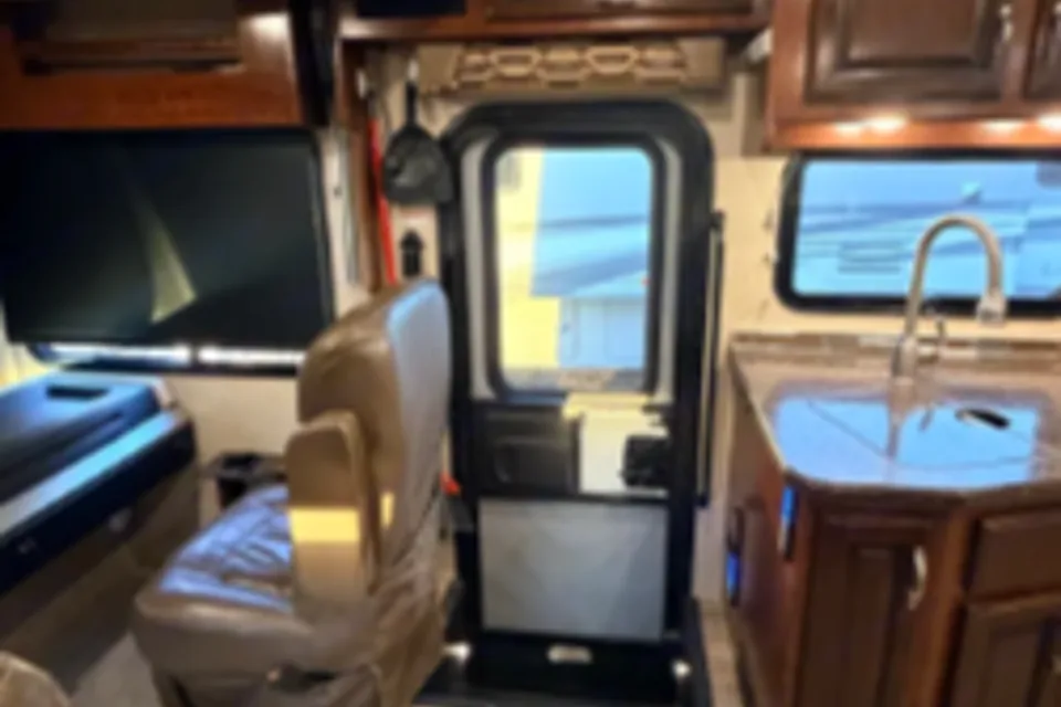
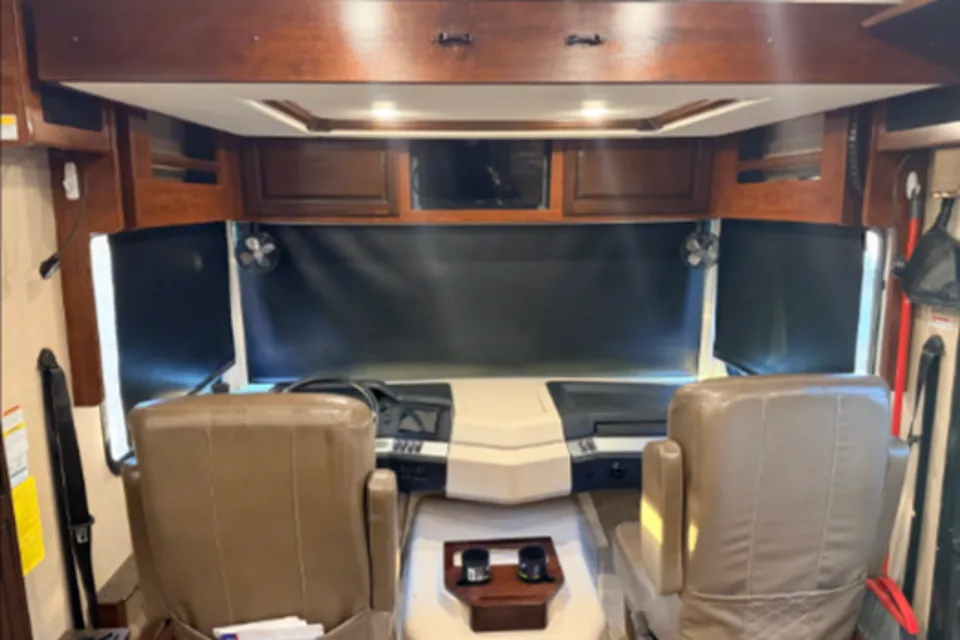
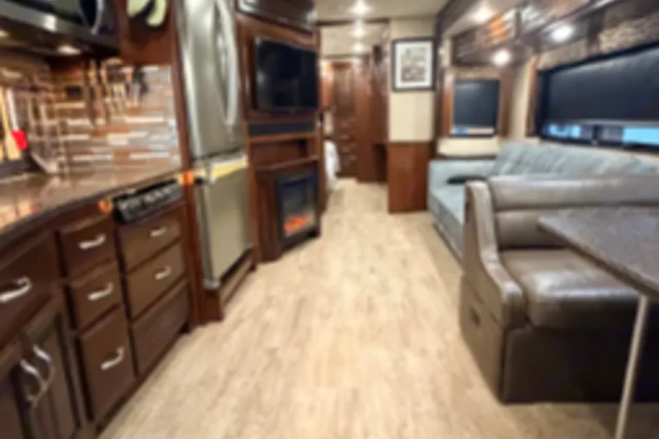
Featured RV rentals for Tonto Natural Bridge State Park


Best time to visit Tonto Natural Bridge State Park
Spring (April and May) and fall (September and October) are the best times to visit, with mild temperatures, lower wildfire risk, and comfortable hiking conditions in the canyon. Summer brings warm days and afternoon monsoon thunderstorms that can cause flash flooding in Pine Creek, so hikers should check forecasts before descending into the canyon. Winter is quieter and cooler, with occasional snow at the park's 4,500-foot elevation that can make the steep access road slick. Weekends and holidays fill parking quickly, so midweek arrivals are easier for larger rigs.
Cold nights; occasional snow and ice on the steep access road
Winter conditions possible at elevation
Pleasant hiking weather
Fire restrictions often begin this month
Hot and dry; high wildfire risk
Monsoon season; flash flood risk in Pine Creek
Monsoon thunderstorms common in afternoons
Great shoulder-season hiking
Fall color along the creek
Cold, possible snow on access road
Things to do at Tonto Natural Bridge State Park
- View the Natural Bridge from the Overlooks EasyRV parking available
Four developed viewpoints above the canyon offer direct-from-the-rim views of the travertine arch and Pine Creek below. The overlooks are short, mostly paved walks from the main parking area and are the easiest way to see the bridge without descending into the canyon.
- Pine Creek Trail StrenuousRV parking available
Pine Creek Trail descends into the canyon and leads hikers beneath the natural bridge along the creek bed. The route involves rock scrambling over slick travertine and is slower going on the return climb.
- Gowan Trail StrenuousRV parking available
The Gowan Trail drops steeply from the canyon rim to an observation deck below the bridge. Expect switchbacks, stairs, and a demanding climb back out.
- Anna Mae Trail ModerateRV parking available
Anna Mae Trail is a short connector route that links viewpoints with access into the canyon on the downstream side of the bridge. It offers close-up views of the tunnel opening and is shorter than Pine Creek Trail.
- Waterfall Trail ModerateRV parking available
Waterfall Trail is a short, steep walk to a cave-like grotto beneath a seasonal waterfall on the canyon wall. The paved portion ends in a series of steps and can be slippery when wet.
- Historic Goodfellow Lodge EasyRV parking available
The historic lodge near the park entrance showcases early 1900s architecture and interpretive displays about the park's pioneer history. Visitors can view the exterior and grounds, and the lodge is a short walk from the main parking lot.
- Picnic Area and Day Use EasyRV parking available
Shaded picnic tables and ramadas sit near the canyon rim with views of the surrounding Ponderosa pine forest. The area is well suited for a lunch stop on a scenic drive along Highway 87.
Top Hosts near AZ, United States
Benjamin and his wife are excellent hosts, we had a fantastic trip. Great communication as needed during the trip as well, would definitely rent from them again.
Rebecca F. - Jun 2026
RV delivery to a campground, made simple
Skip the pickup. Skip the towing. Get an RV delivered and set up at your campsite so you can arrive, unpack, and start your trip stress-free.
Choose your perfect RV
Browse RVs that offer delivery to your site and book the one that fits your budget and adventure style.
Lock in your campsite
Reserve your campsite with the hookups and amenities you need. We’ll help you find RVs that meet site requirements.
Arrive and relax
Your host delivers and sets up the RV before you get there. Just show up and start enjoying your trip.
Find the perfect RV for these nearby campgrounds
RV Rentals Tonto Natural Bridge State Park
Tonto Natural Bridge State Park, AZ, United States
How to get to Tonto Natural Bridge State Park
The park is reached via State Highway 87 (the Beeline Highway), roughly 10 to 15 miles north of Payson and about a 2-hour drive from Phoenix. From the highway, a steep and narrow access road descends into the canyon to the park entrance, and Arizona State Parks advises it is not suitable for large RVs, trailers, or motorhomes. RV renters are encouraged to park larger rigs at the top of the access road or stay in Payson and drive in with a tow or smaller vehicle. The nearest major airport for fly-and-rent trips is Phoenix Sky Harbor International Airport.
RVezy vs. Traditional RV rental
RVezy rentals
- Book directly from local RV owners
- Choose the exact RV you want
- Delivery to your campsite, home, or destination
- More variety: trailers, motorhomes, and campers
Traditional RV rental
- Limited fleet from a rental company
- Exact RV not guaranteed
- Pickup only at retail locations
- Fewer RV types and less availability