Camels Hump State Park - United States
Discover the RVezy RV rental marketplace
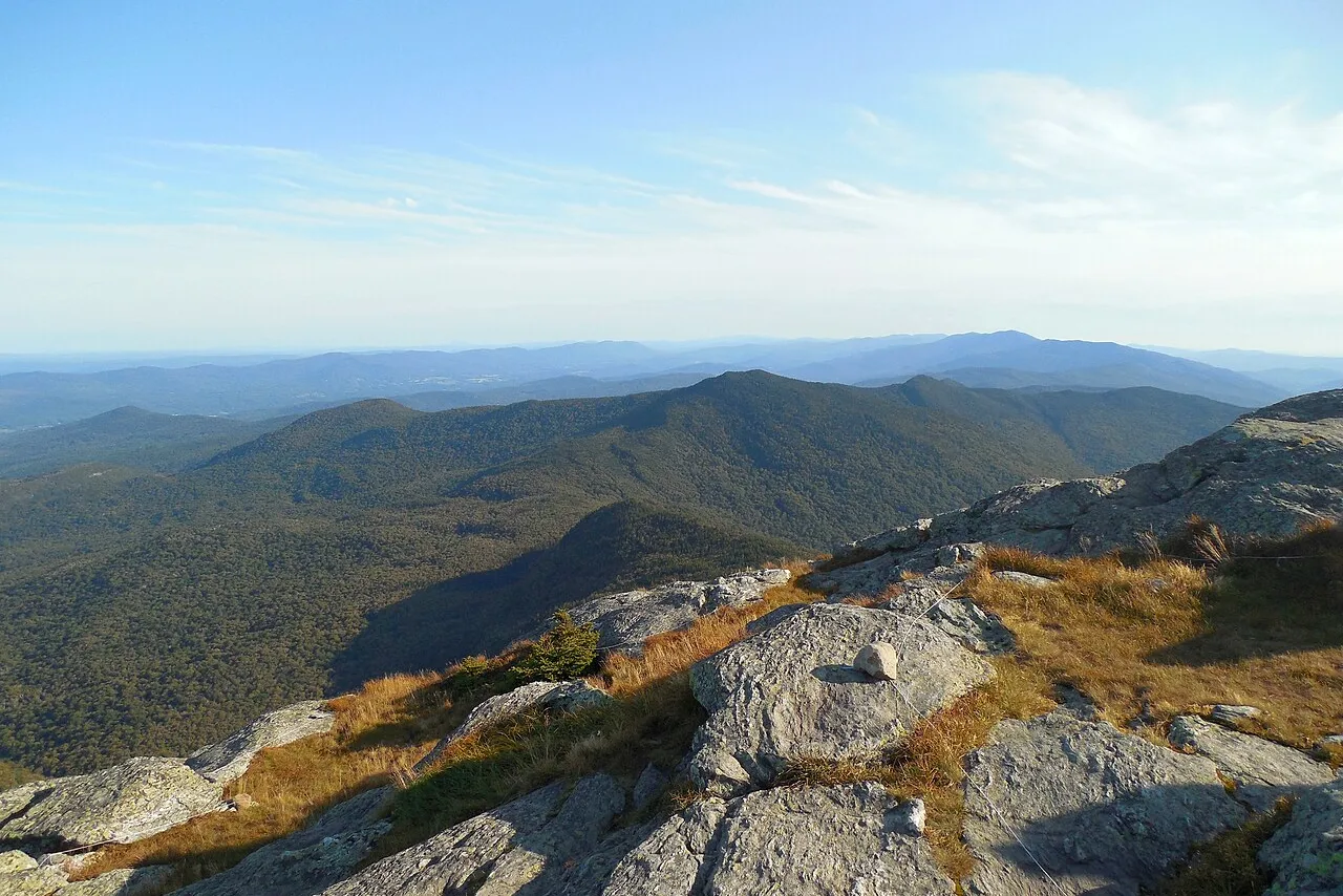
About Camels Hump State Park
RV quick facts for Camels Hump State Park
| Detail | Information |
|---|---|
| Full hookups | None inside the park; RV hookups available at nearby private and state campgrounds |
| Dump station | Not available within Camels Hump State Park; use nearby Vermont State Parks or commercial campgrounds |
| Max RV length | Trailhead lots only, no RV camping; recommended to leave large rigs at a base campground |
| Road restrictions | Narrow, steep gravel access roads to Burrows, Monroe, and Forest City trailheads; not suited to large motorhomes or long trailers |
| Cell service | Limited to none on trails and at higher elevations; spotty at trailheads |
| Reservation window | No campground reservations needed; trailhead parking is first-come, first-served and fills early on summer and fall weekends |
| Generator hours | Not applicable; park is day-use only with no RV sites |
| Nearest airport | Burlington International Airport (BTV), about 45 minutes by road |
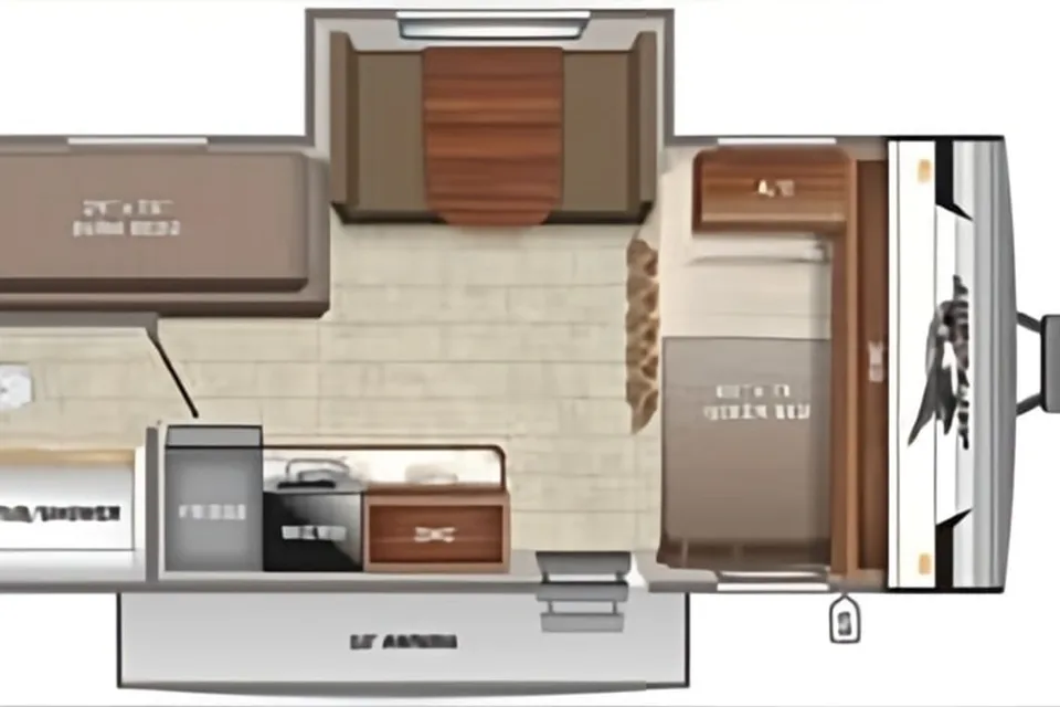
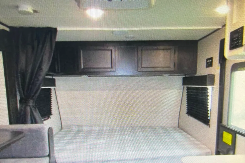
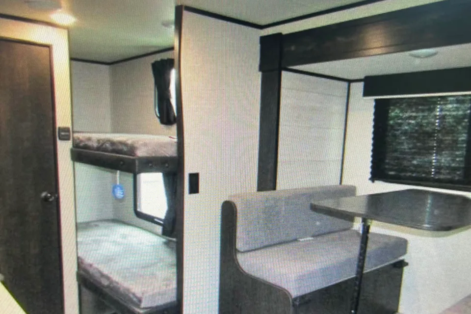
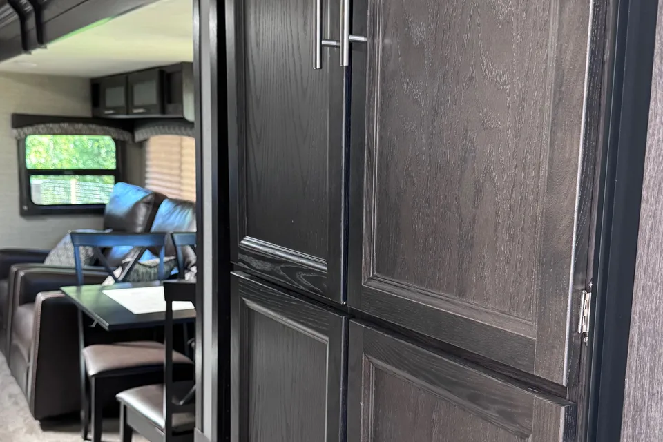
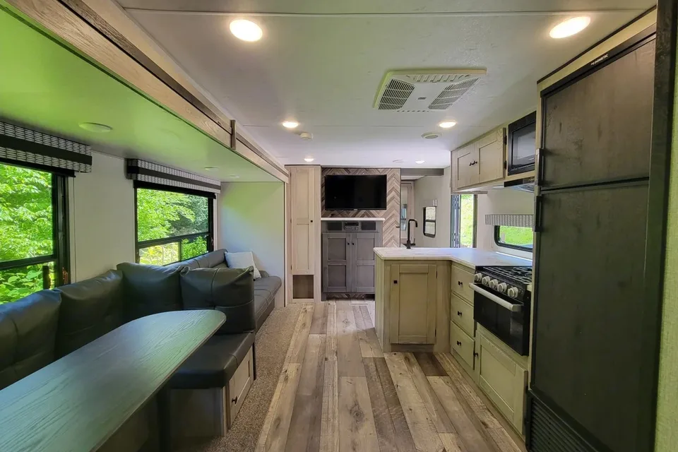
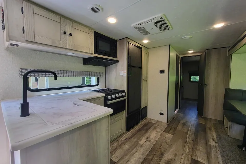
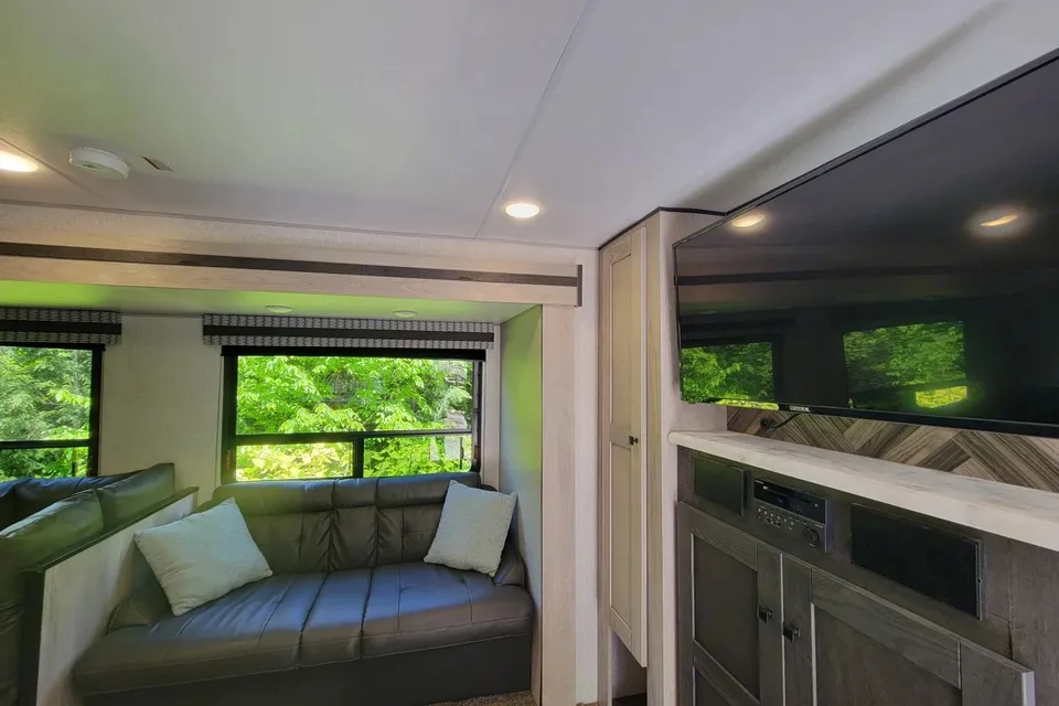
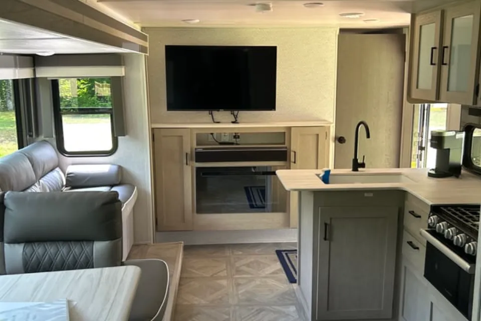
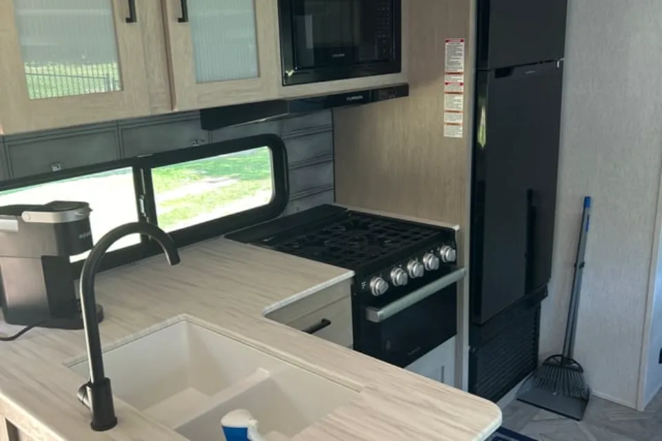
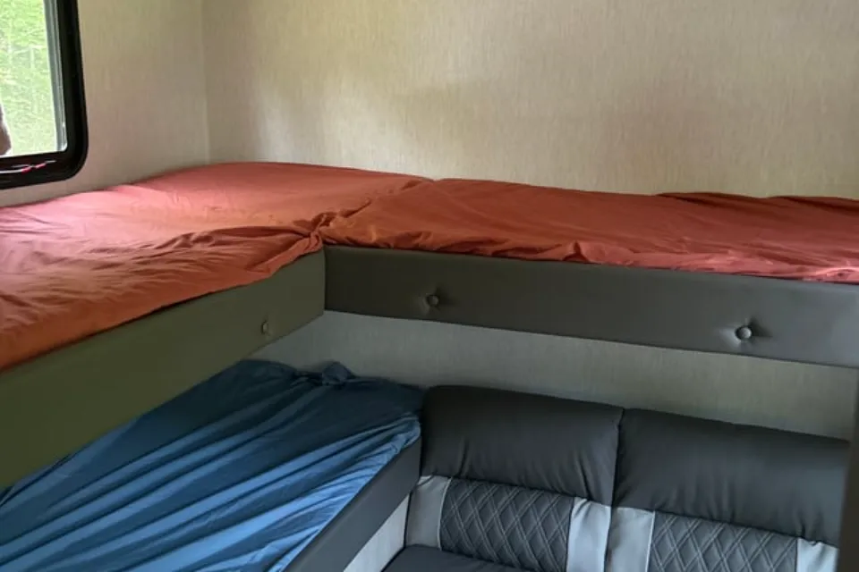
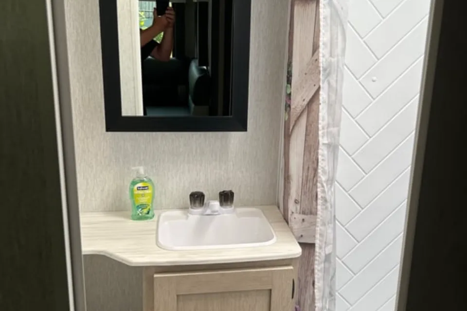
Featured RV rentals for Camels Hump State Park
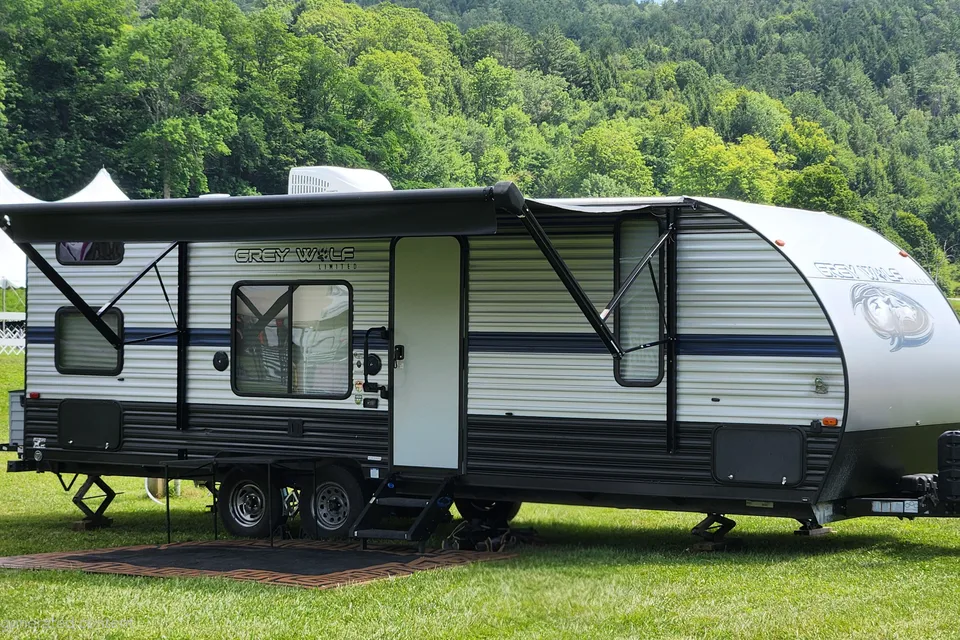
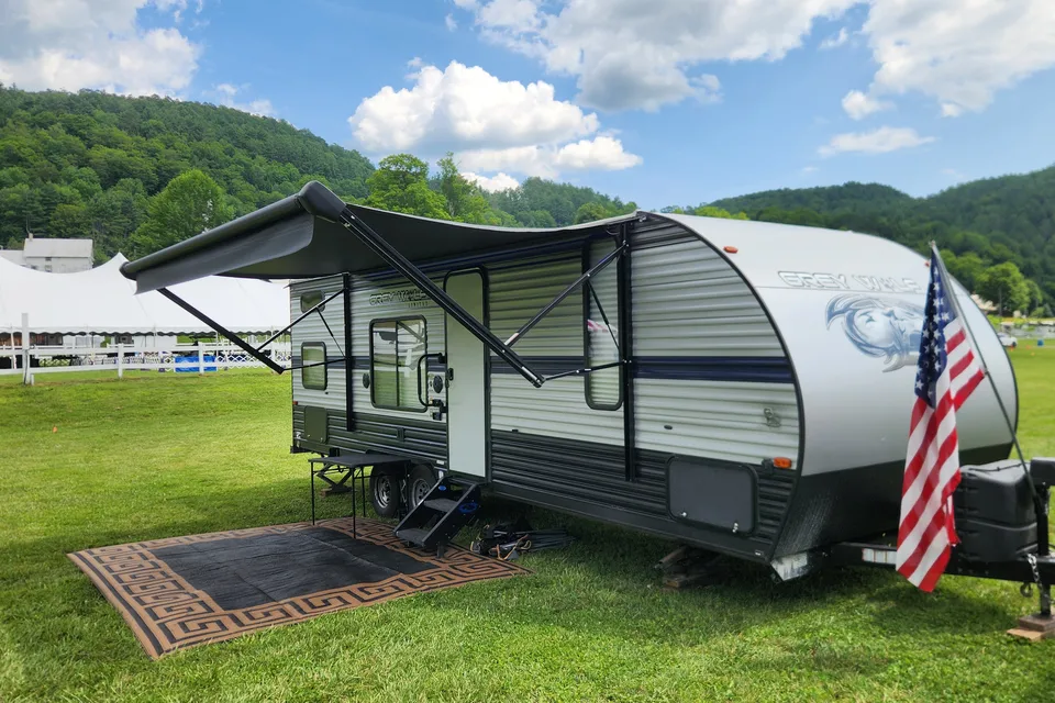
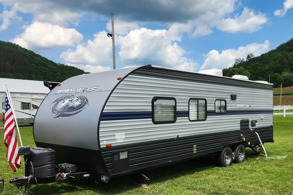
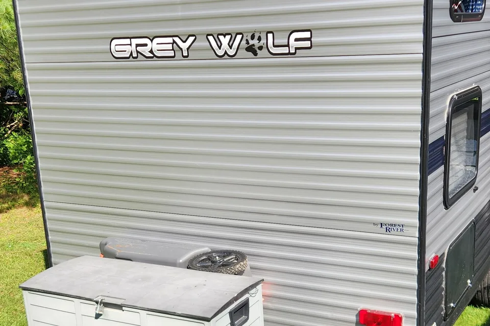
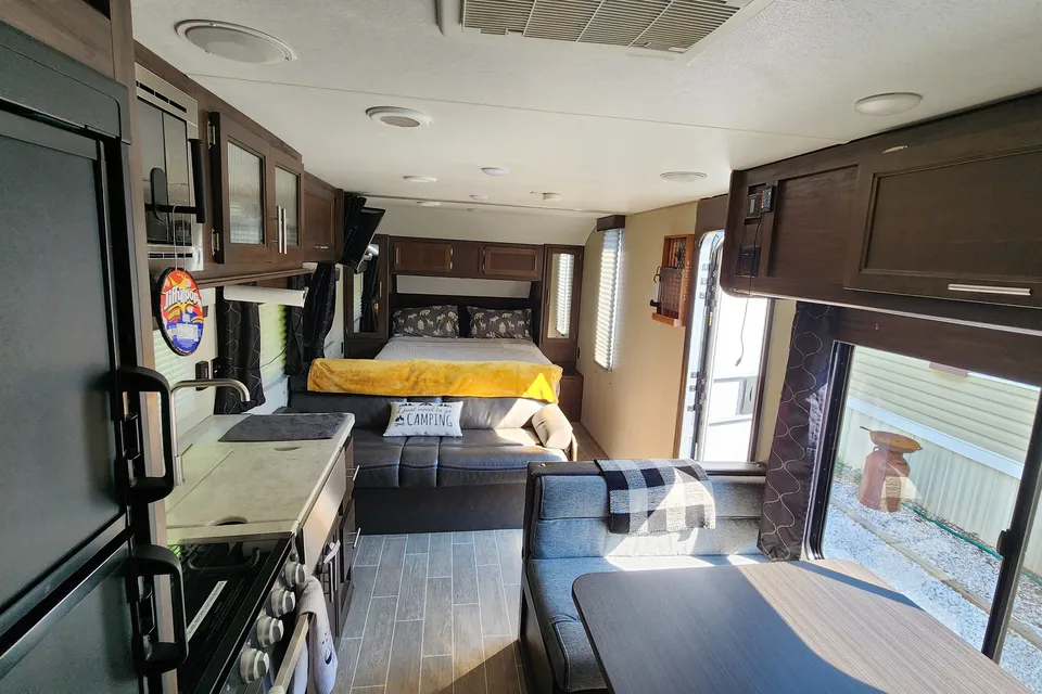
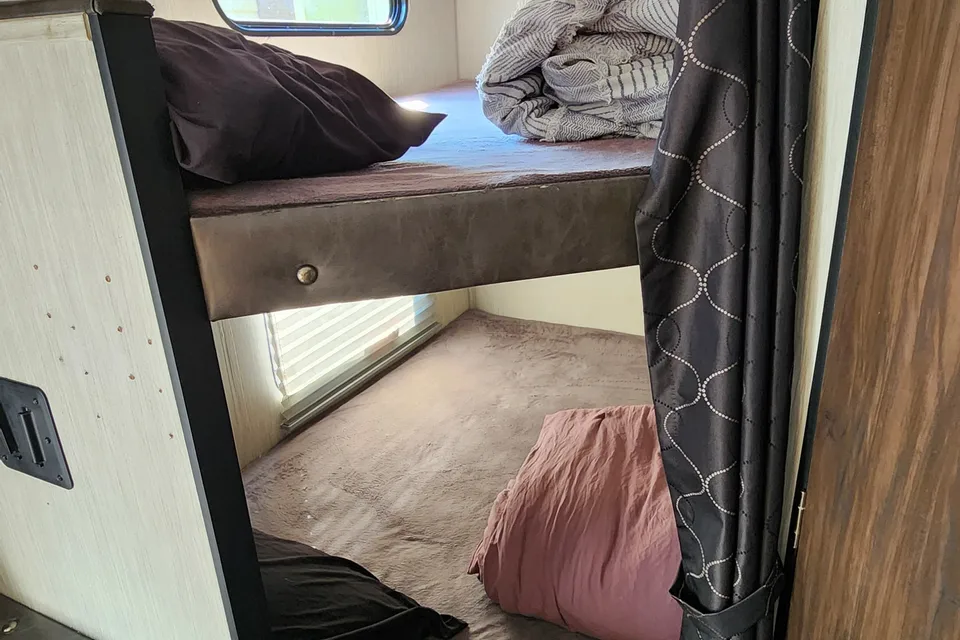
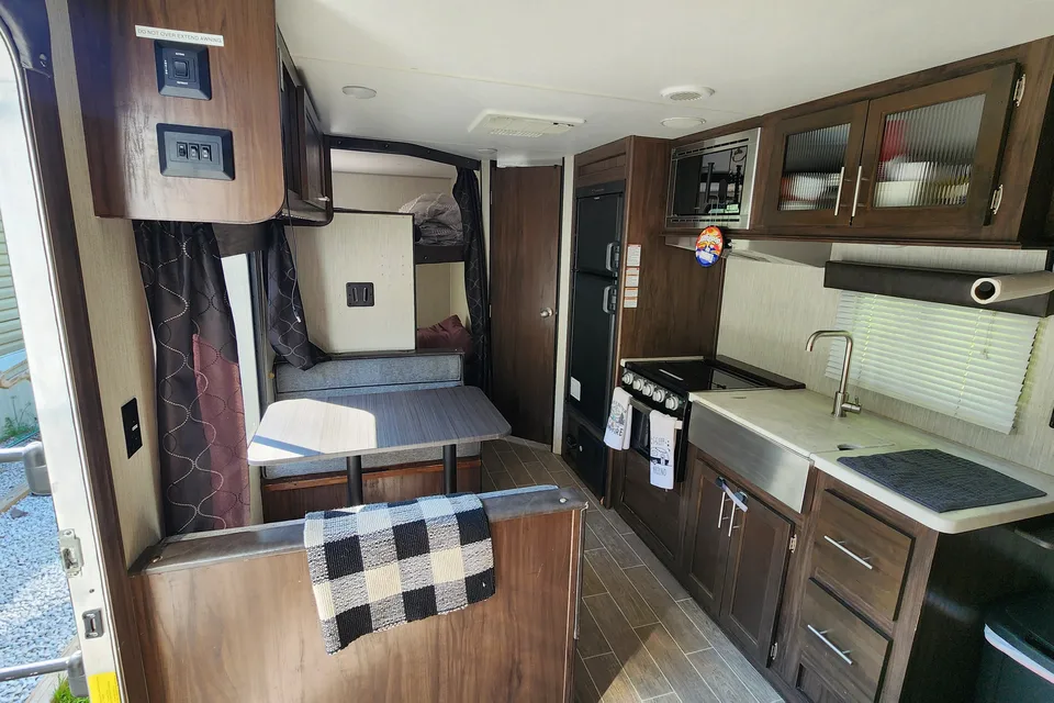
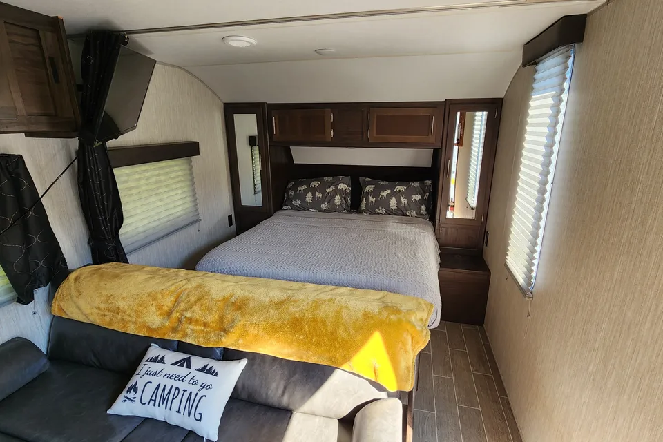
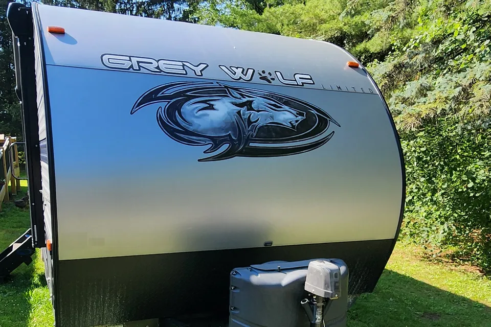
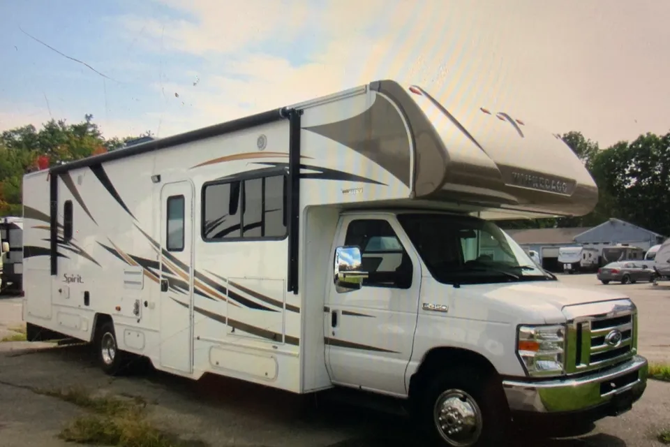
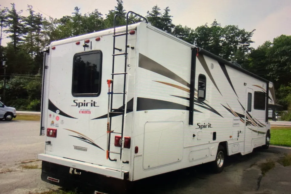
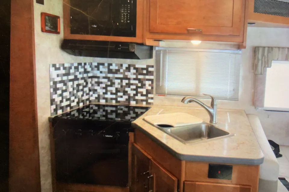
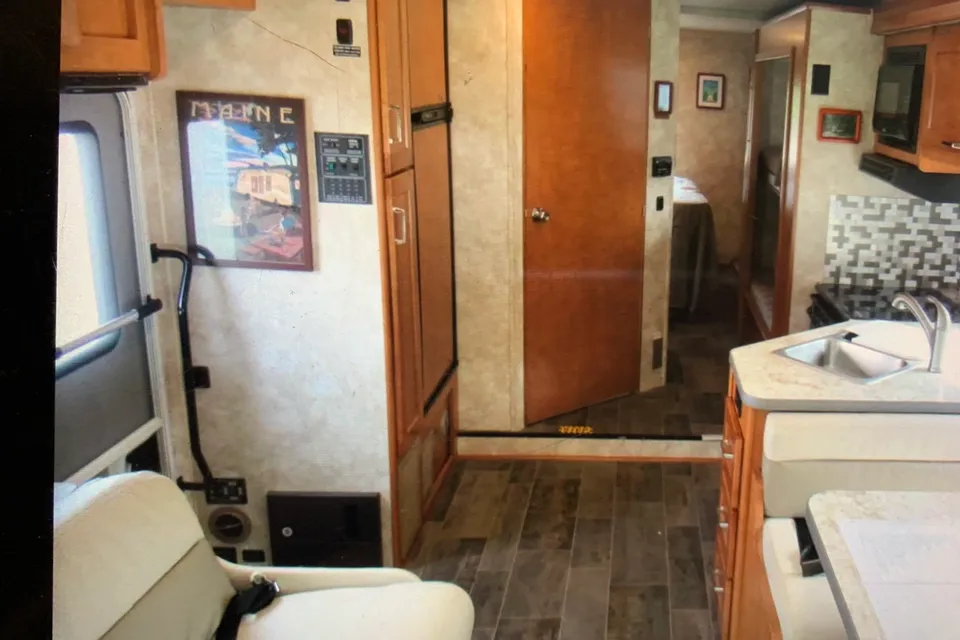
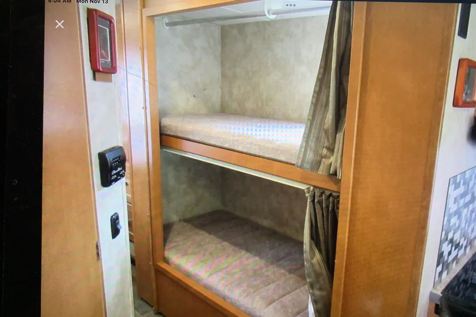
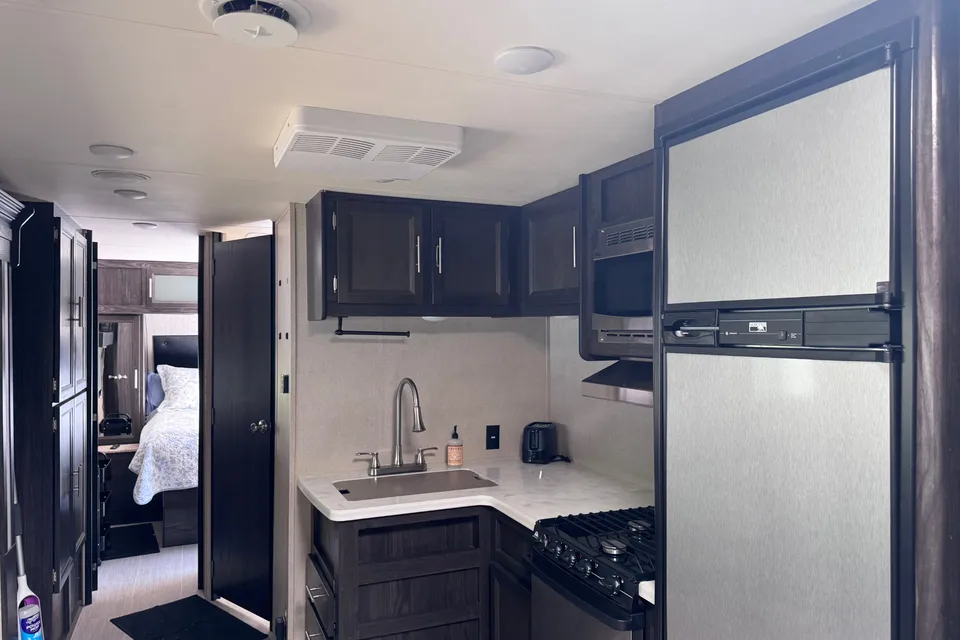
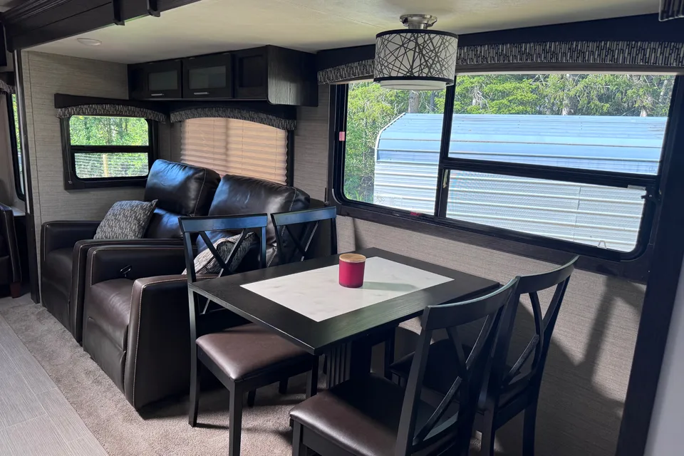
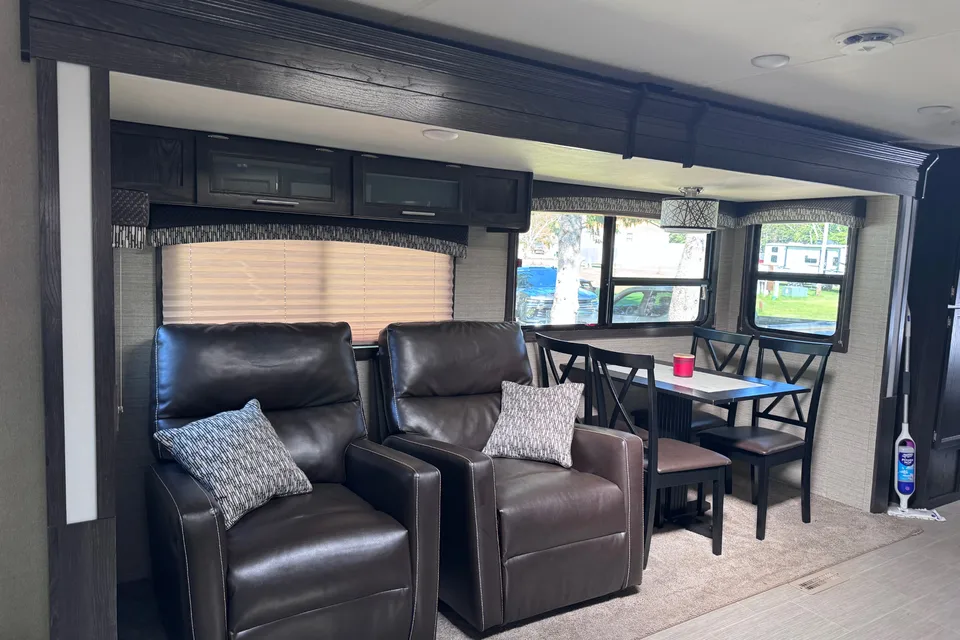
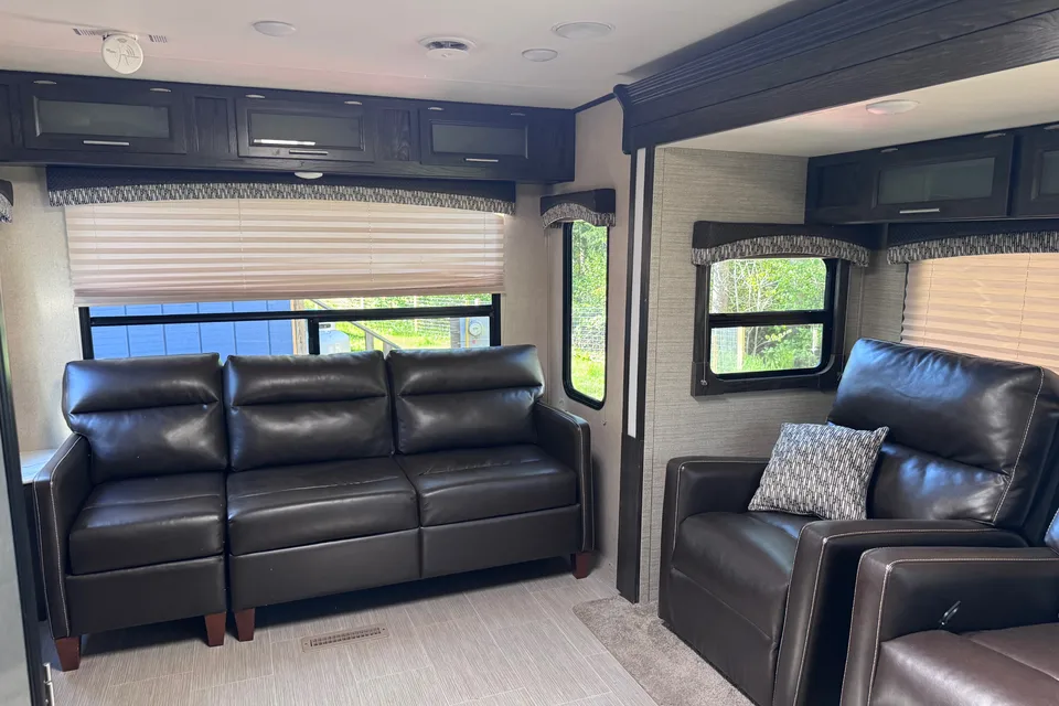
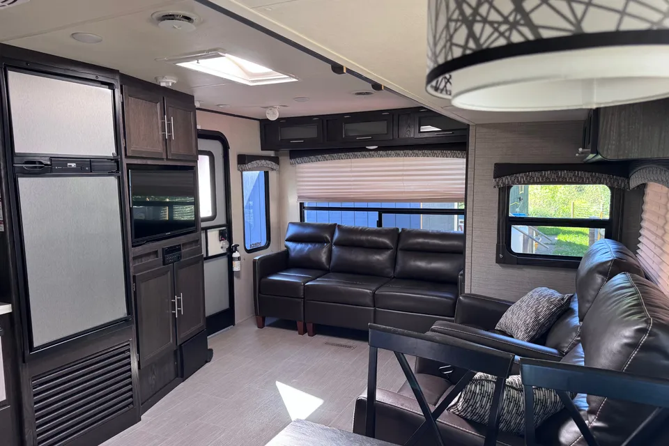
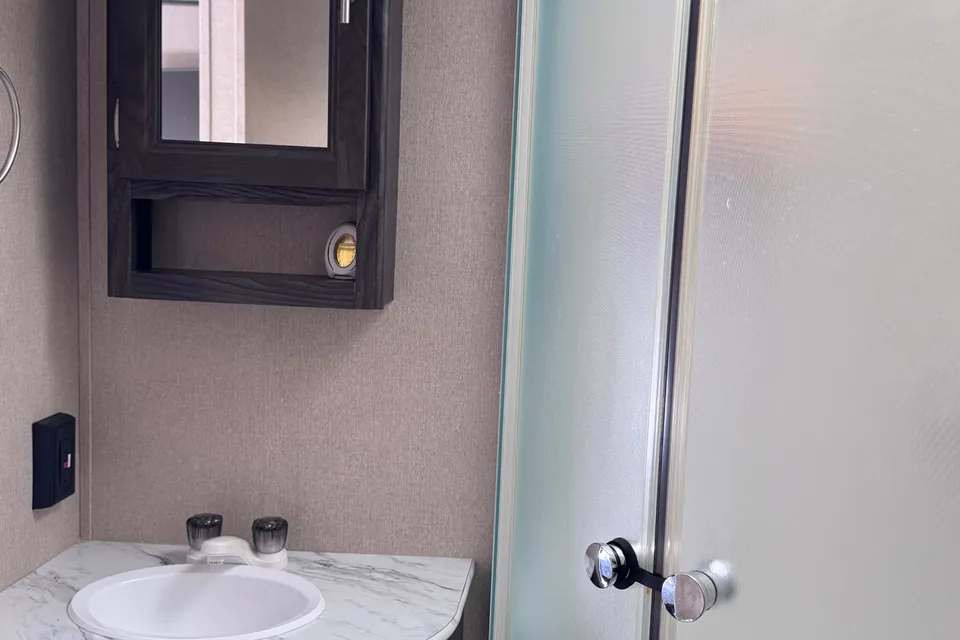
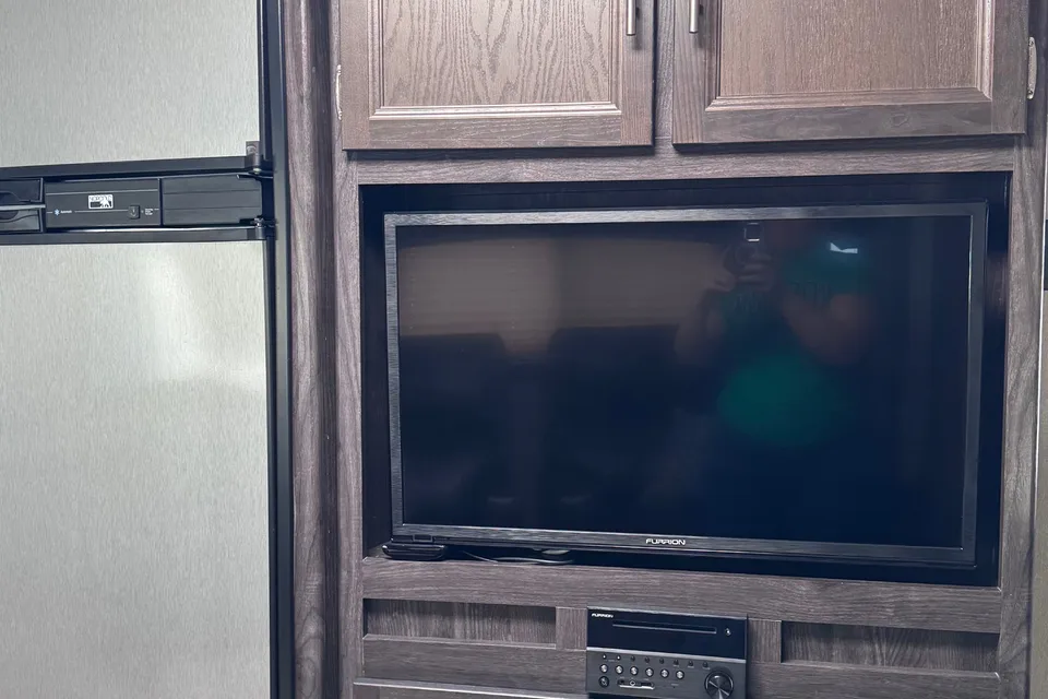
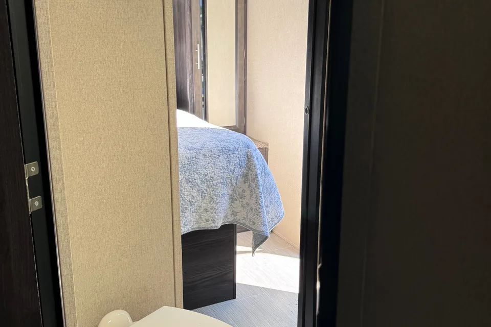
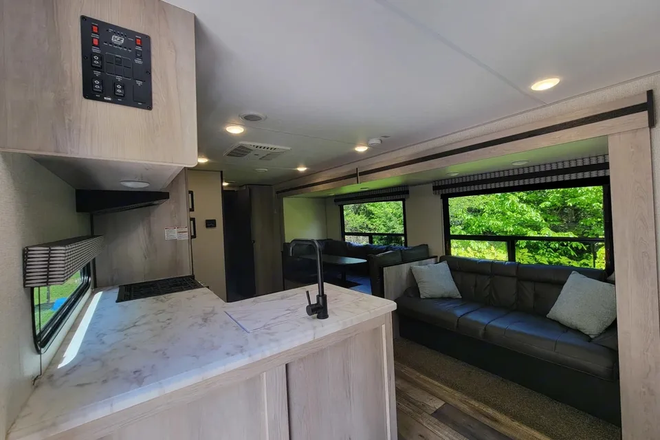
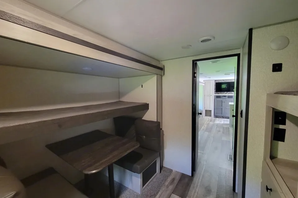
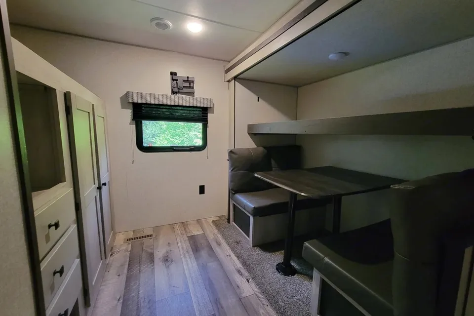
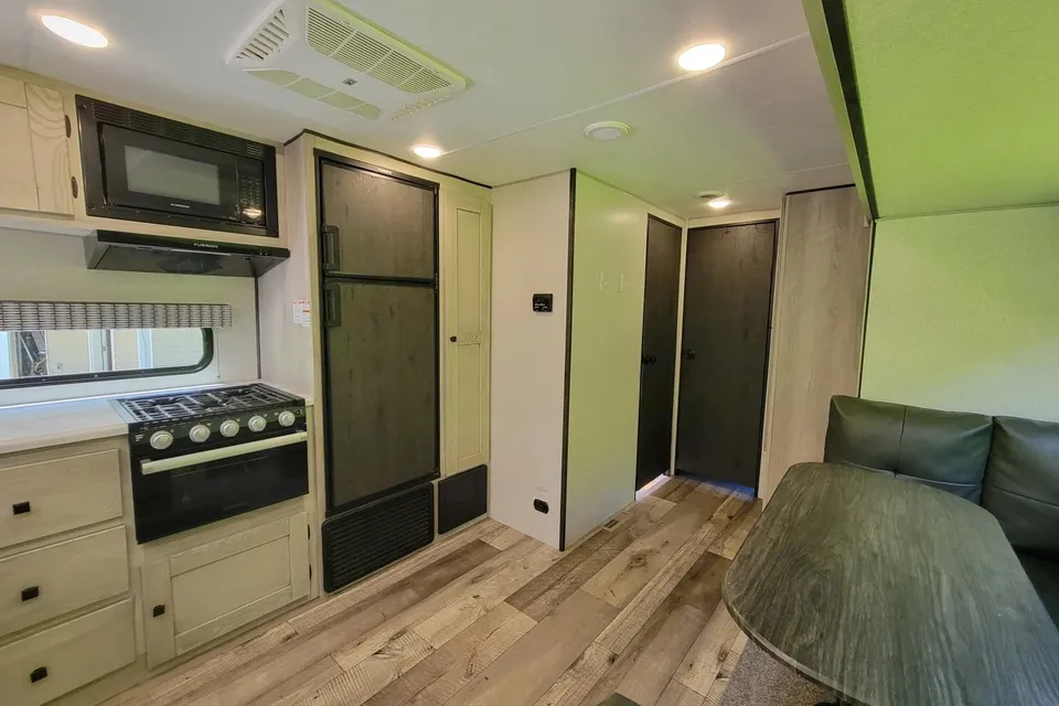
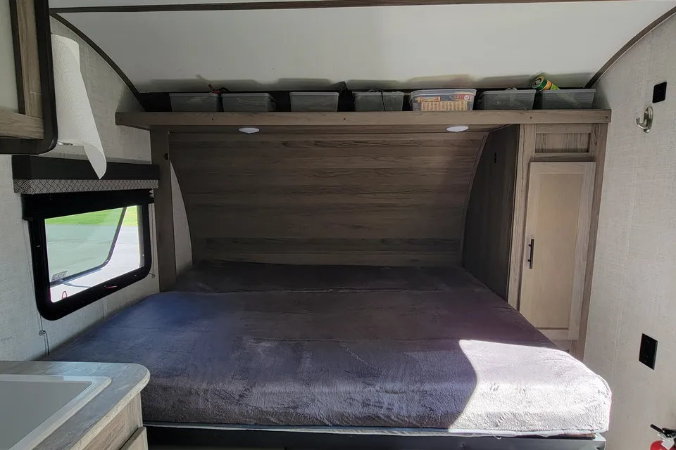
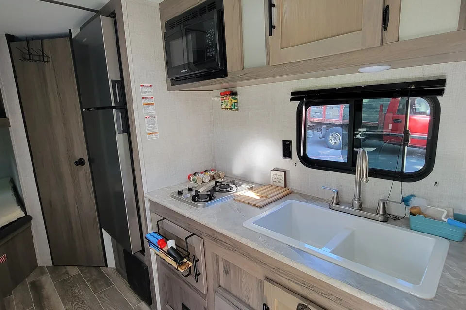
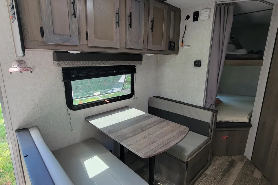
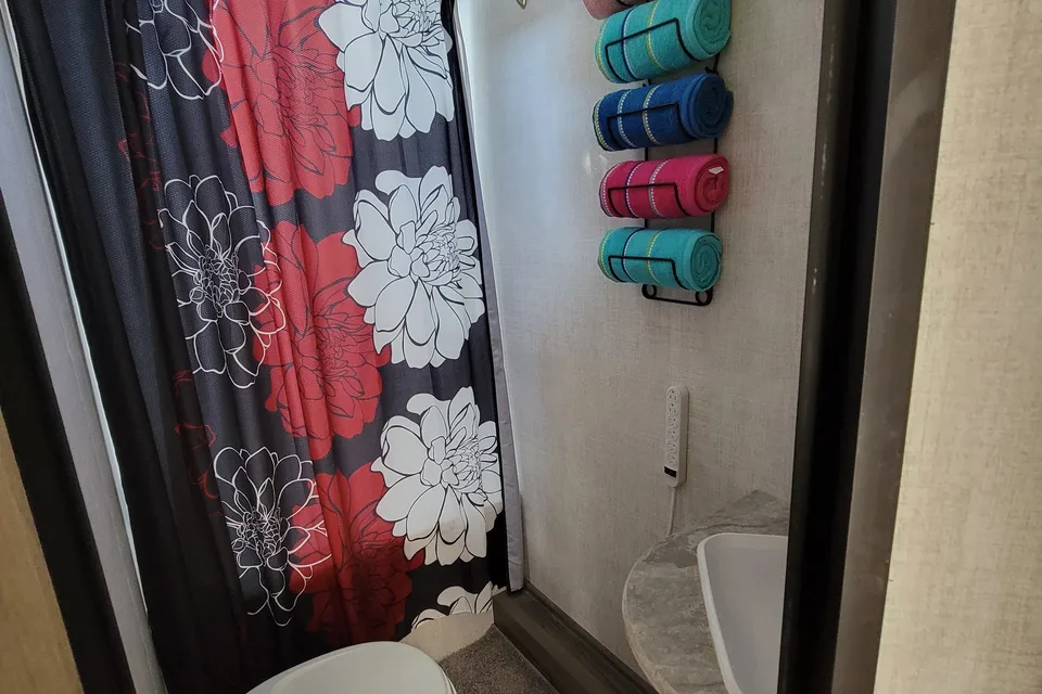
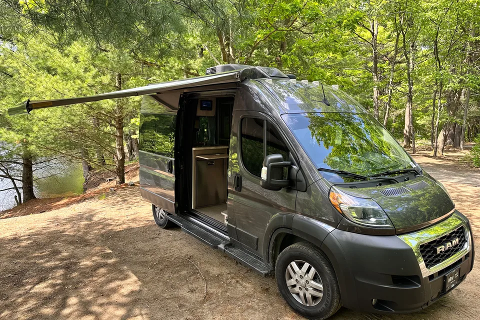
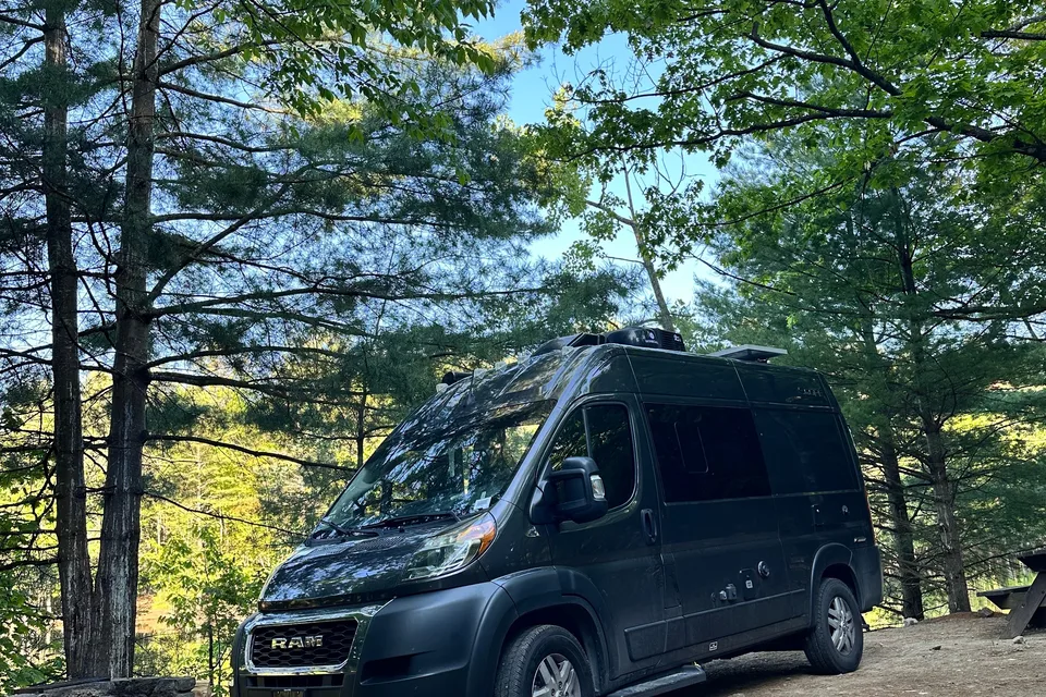
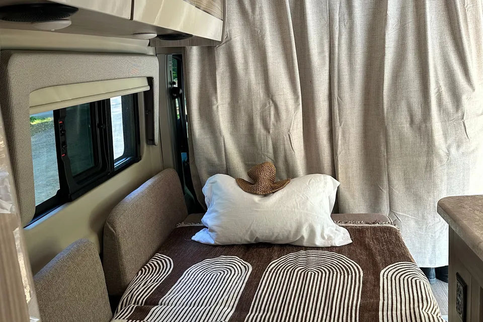
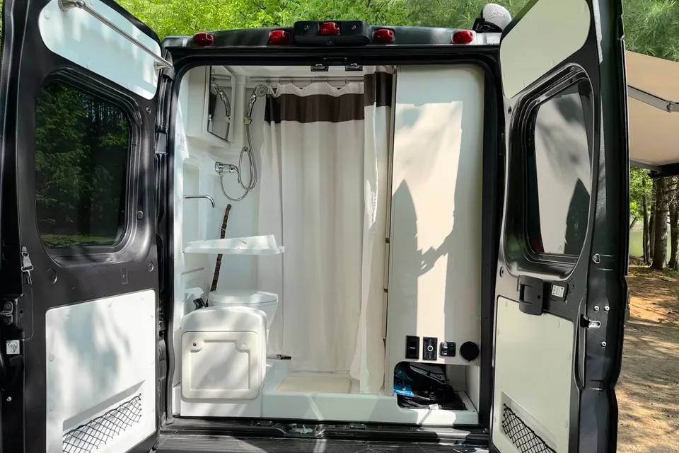
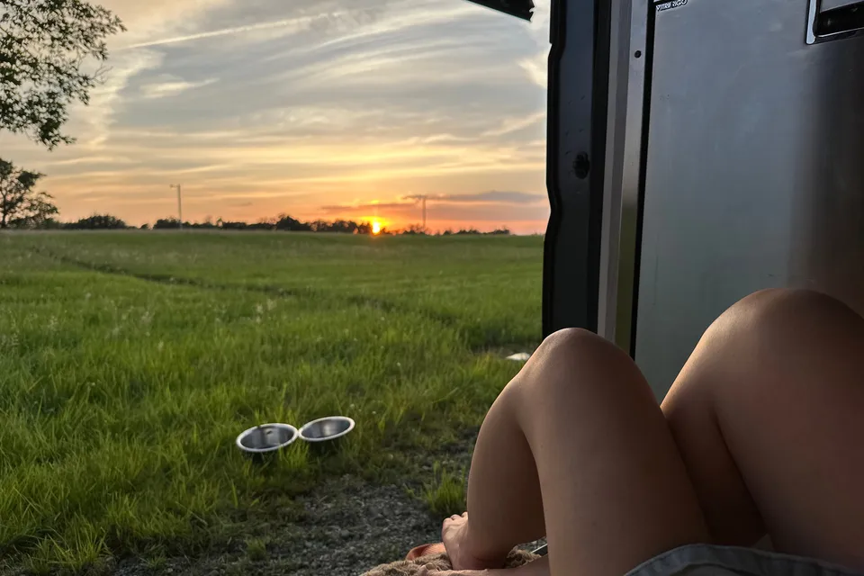
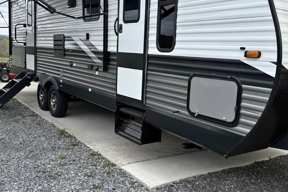
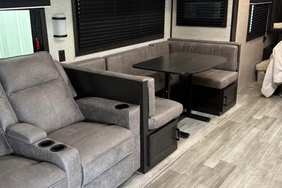

 Instant Book
Best time to visit Camels Hump State Park
Late June through early October is the prime window, when trailhead access roads are clear of snow, summit weather is most stable, and RV-friendly campgrounds in the surrounding Green Mountains are open. September and early October bring cool hiking temperatures and peak fall foliage, though weekends draw heavy crowds and trailhead parking fills early. Late spring is muddy and many upper trails are closed or discouraged to protect fragile alpine vegetation. Winter offers backcountry skiing and snowshoeing for experienced visitors, but trailhead access roads are not maintained for RVs.
Trailhead access roads not maintained for RVs; backcountry use only
Deep snow at elevation; access roads not plowed for RV travel
Mud season begins; many upper trails closed to protect surfaces
Mud season; upper trails discouraged or closed above 2,500 feet
Lower trails opening; black flies common
Reliable hiking season begins late month
Peak summer; thunderstorms can develop quickly on summits
Warm and busy; trailhead lots fill on weekends
Cool, clear hiking weather; foliage builds late month
Peak fall foliage; expect heavy weekend traffic
Cold, wet, and often icy at elevation; access roads not maintained for RVs after first snow
Snow-covered; access roads not maintained for RV travel
Things to do at Camels Hump State Park
- Hike to Camel's Hump Summit via Burrows Trail Strenuous
The Burrows Trail is the shortest and most popular route to the summit, climbing about 2.4 miles one way from the Huntington side. The trail gains roughly 2,000 feet to reach the open alpine summit and panoramic views of the Green Mountains, Lake Champlain, and the Adirondacks. Hikers must stay on marked rock to protect fragile alpine plants.
- Monroe Trail to the Summit Strenuous
The Monroe Trail climbs the east side of the mountain from the Couching Lion trailhead in Duxbury, joining the Long Trail near the summit. It is slightly longer and more gradual than Burrows, making it a popular alternative for a loop that includes the Dean Trail and Wind Gap. Expect a full-day, strenuous outing.
- Long Trail Ridge Walk Strenuous
The Long Trail crosses the summit ridge of Camel's Hump, offering one of the most dramatic stretches of Vermont's iconic long-distance footpath. Day hikers can sample sections from Bamforth Ridge or connect to backcountry shelters for overnight trips. Footing is rocky and exposed near the summit.
- Forest City Trail Loop Strenuous
The Forest City Trail starts from the Huntington side and links with the Long Trail, allowing hikers to combine it with Burrows for a scenic loop over the summit. The route passes through mature hardwood and spruce-fir forest before joining the ridge. It is a strong choice for hikers wanting a less crowded approach.
- View Alpine Tundra at the Summit Strenuous
Camel's Hump is one of only a few peaks in Vermont with true alpine tundra, recognized as a National Natural Landmark for its rare summit ecosystem. The tundra zone supports mosses, lichens, and small shrubs, with a short growing season that limits tree growth. Visitors are asked to walk only on bare rock to protect the plants.
- Backcountry Skiing and Snowshoeing Strenuous
In winter, the lower trails and old logging roads offer snowshoeing and backcountry ski touring for experienced visitors. The summit zone is exposed, icy, and often subject to high winds, so most winter travelers turn around below treeline. Trailhead access roads are not plowed for RV use.
- Wildlife and Bird Watching Moderate
The park's mix of northern hardwood forest, boreal spruce-fir, and alpine habitat supports moose, black bear, peregrine falcons, and Bicknell's thrush near the summit. Quieter trails on weekday mornings provide the best chance of sightings. Carry binoculars and stay on marked routes.
RV delivery to a campground, made simple
Skip the pickup. Skip the towing. Get an RV delivered and set up at your campsite so you can arrive, unpack, and start your trip stress-free.
Choose your perfect RV
Browse RVs that offer delivery to your site and book the one that fits your budget and adventure style.
Lock in your campsite
Reserve your campsite with the hookups and amenities you need. We’ll help you find RVs that meet site requirements.
Arrive and relax
Your host delivers and sets up the RV before you get there. Just show up and start enjoying your trip.
Find the perfect RV for these nearby campgrounds
RV Rentals Camels Hump State Park
Camels Hump State Park, VT, United States
How to get to Camels Hump State Park
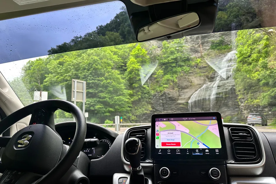
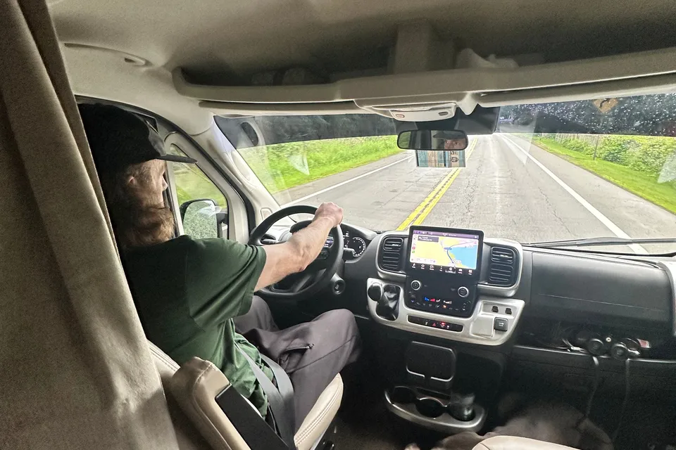
The park sits in north-central Vermont, roughly a 30 to 40 minute drive southeast of Burlington and about 30 minutes west of Montpelier via Interstate 89 and local routes through Waterbury, Duxbury, or Huntington. The closest major airport for fly-and-rent trips is Burlington International Airport (BTV). RV drivers should note that the access roads to the Burrows, Monroe, and Forest City trailheads are narrow, winding, and steep with tight turnarounds and limited parking, so larger Class A motorhomes and long fifth-wheels are best left at a base campground while exploring in a tow vehicle. Mountain weather changes quickly and grades on side roads can be challenging in wet or icy conditions.
RVezy vs. Traditional RV rental
RVezy rentals
- Book directly from local RV owners
- Choose the exact RV you want
- Delivery to your campsite, home, or destination
- More variety: trailers, motorhomes, and campers
Traditional RV rental
- Limited fleet from a rental company
- Exact RV not guaranteed
- Pickup only at retail locations
- Fewer RV types and less availability