Kokanee Glacier Provincial Park - Canada
Discover the RVezy RV rental marketplace
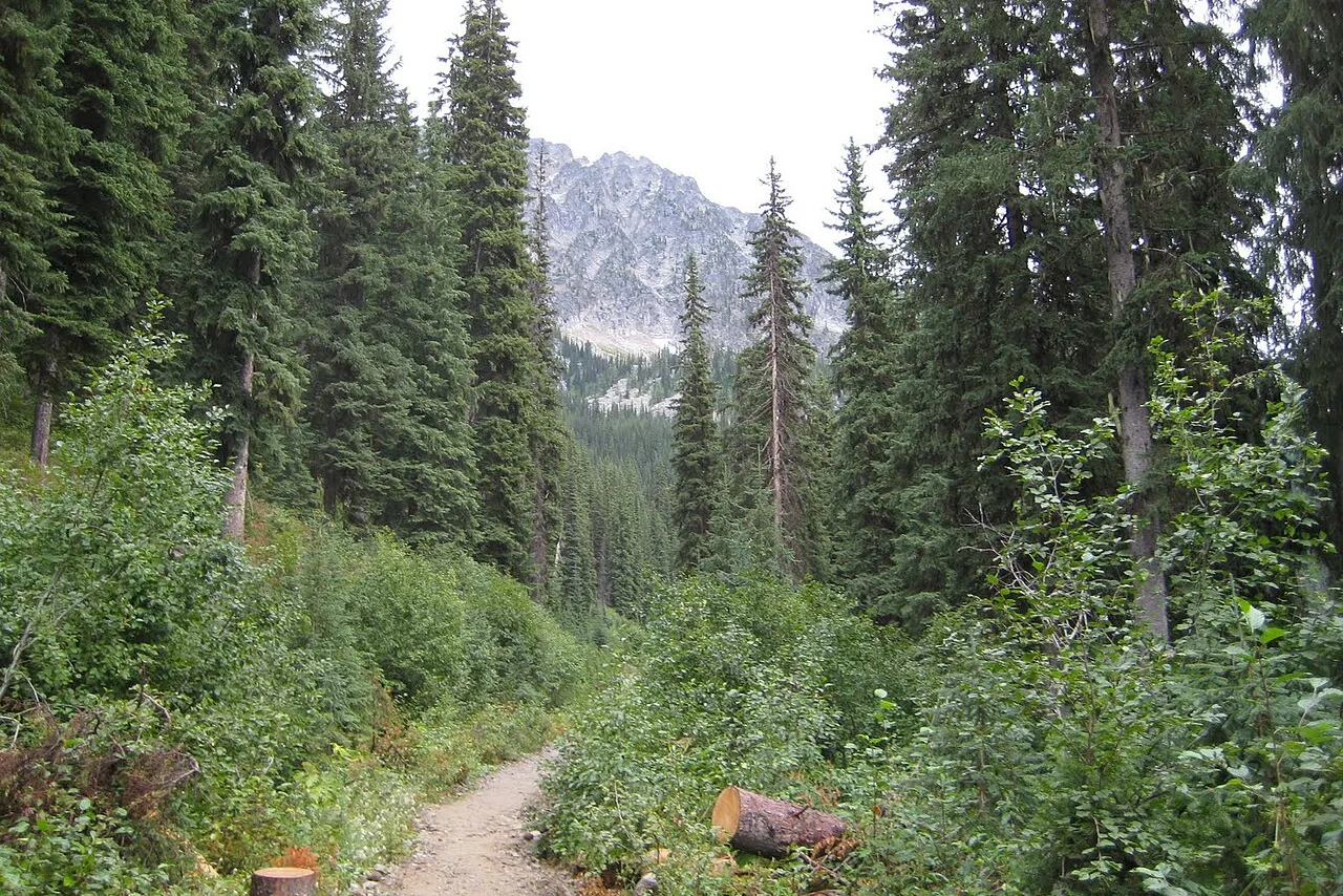
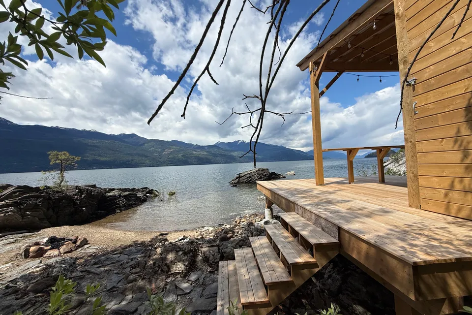
About Kokanee Glacier Provincial Park
RV quick facts for Kokanee Glacier Provincial Park
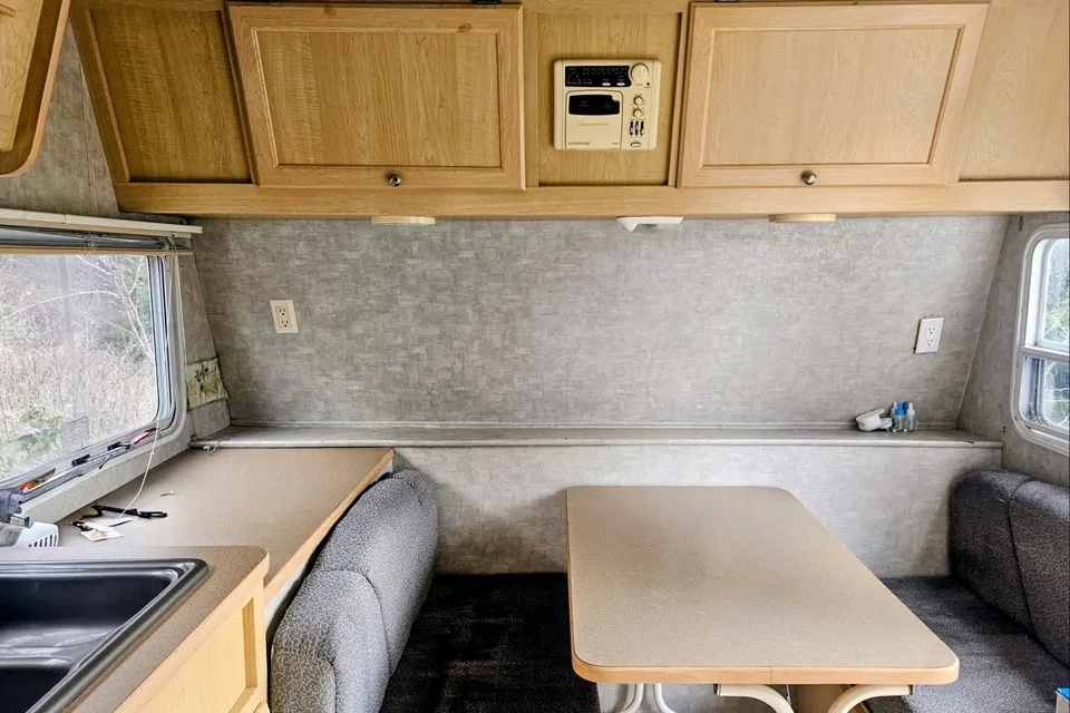
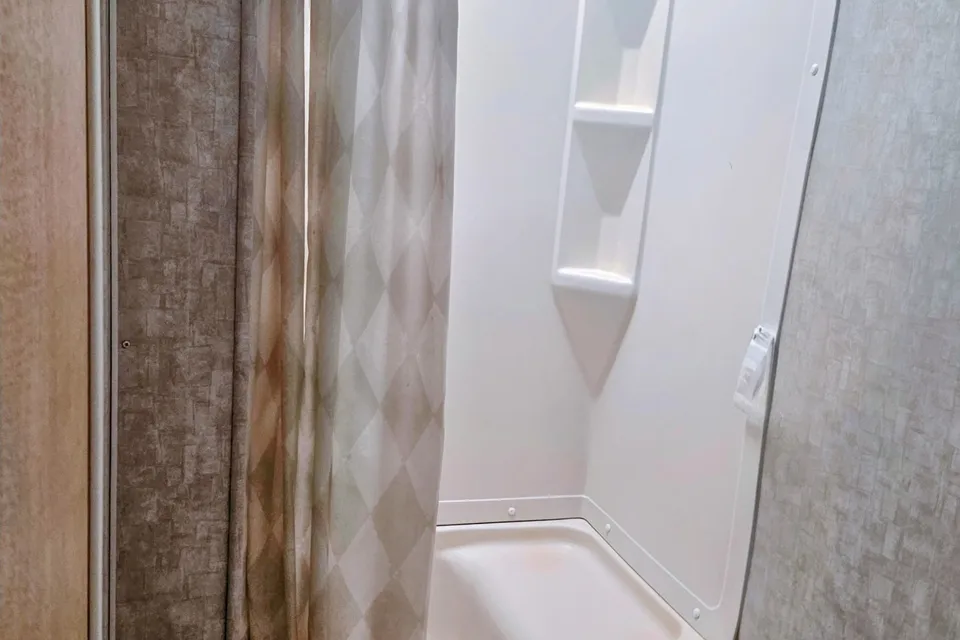
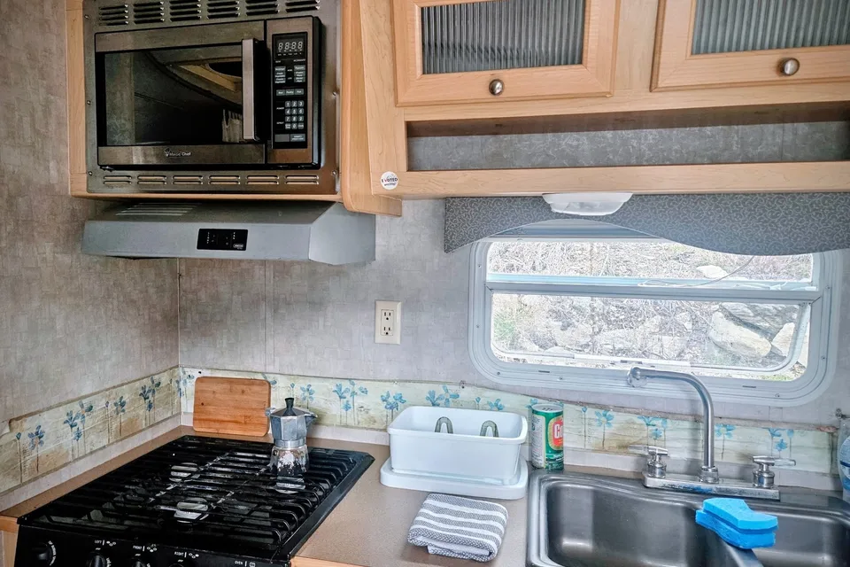
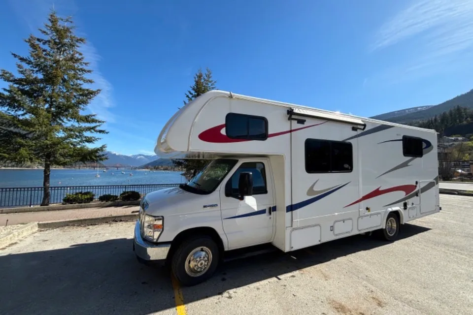
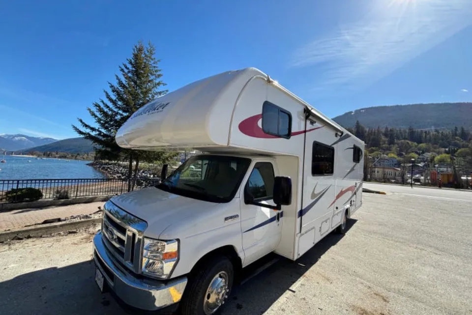
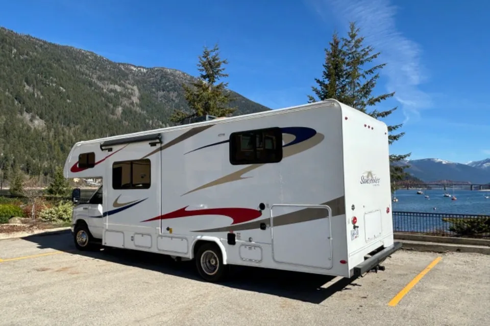
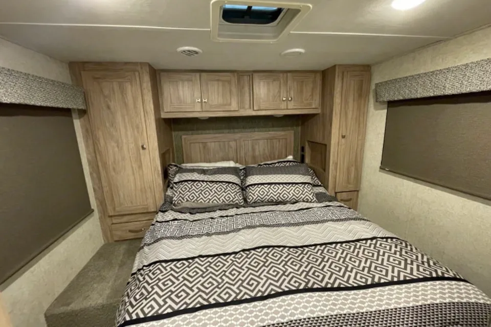
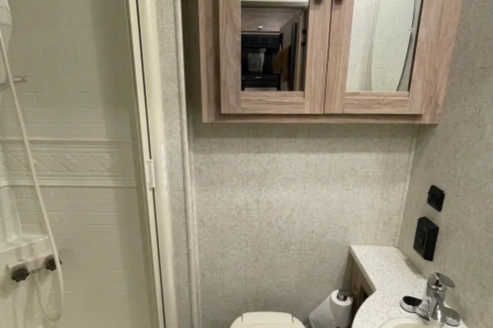
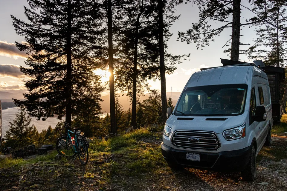
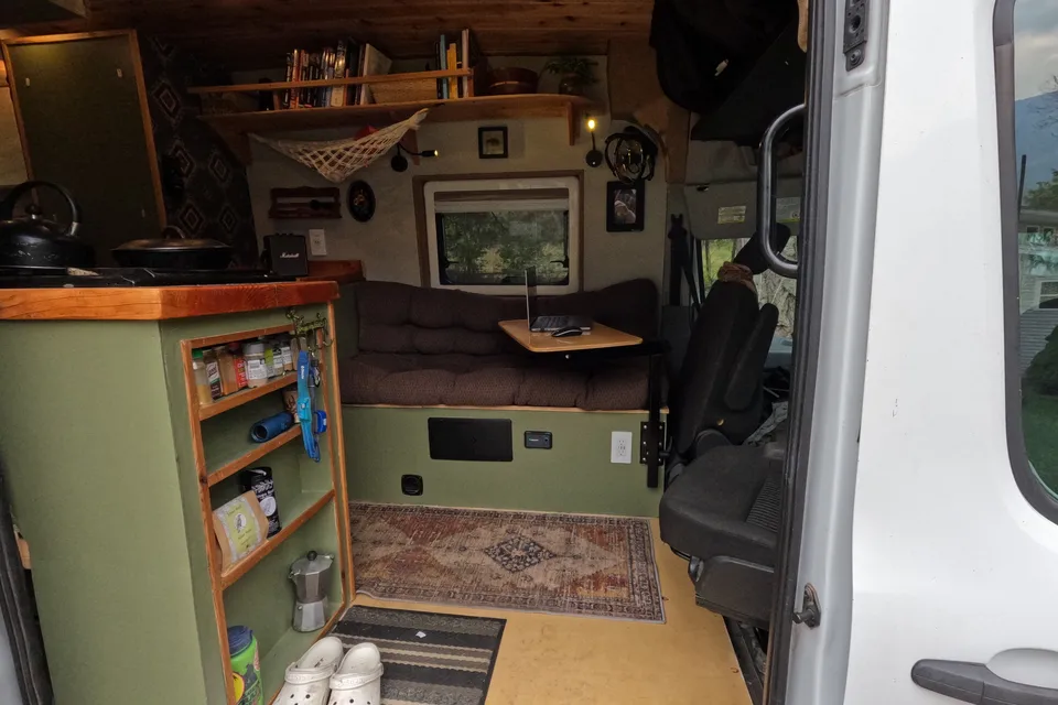
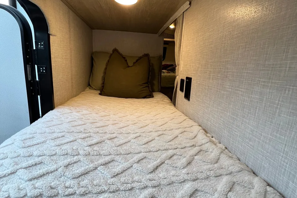
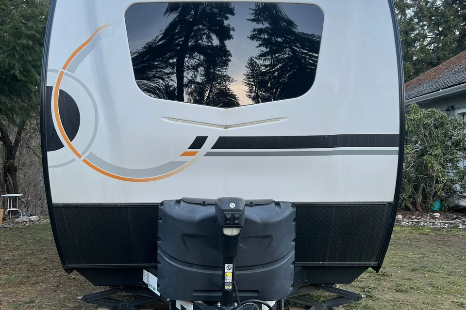
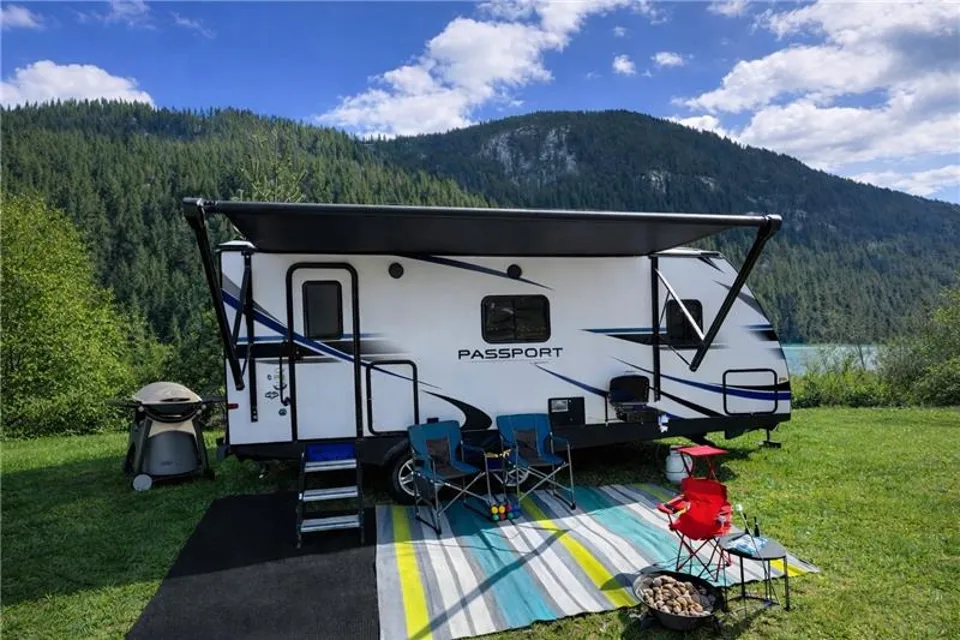
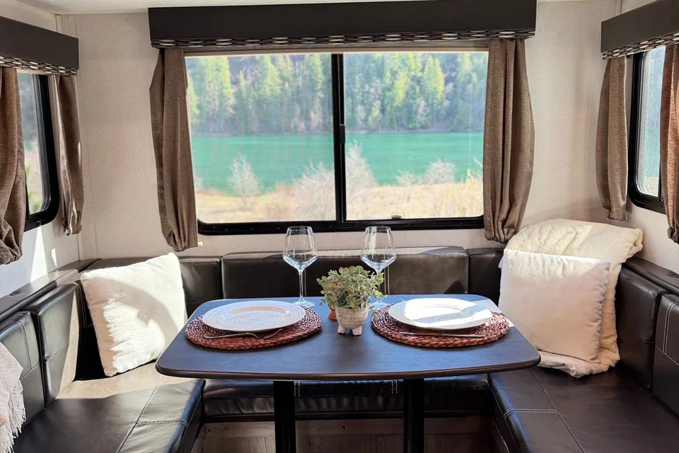
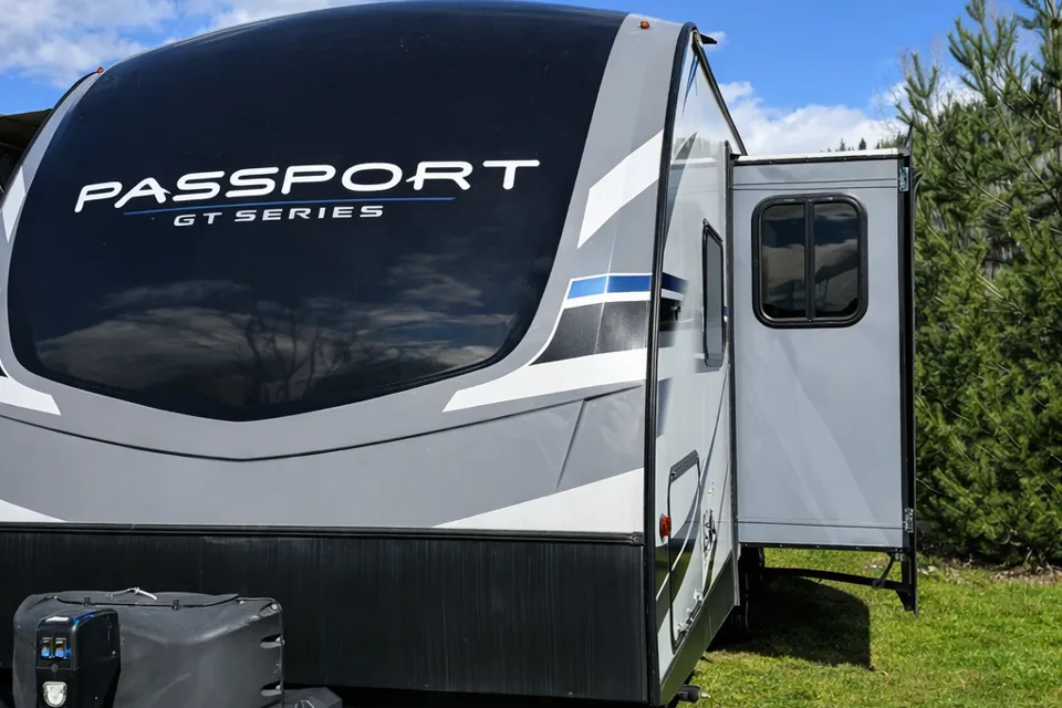
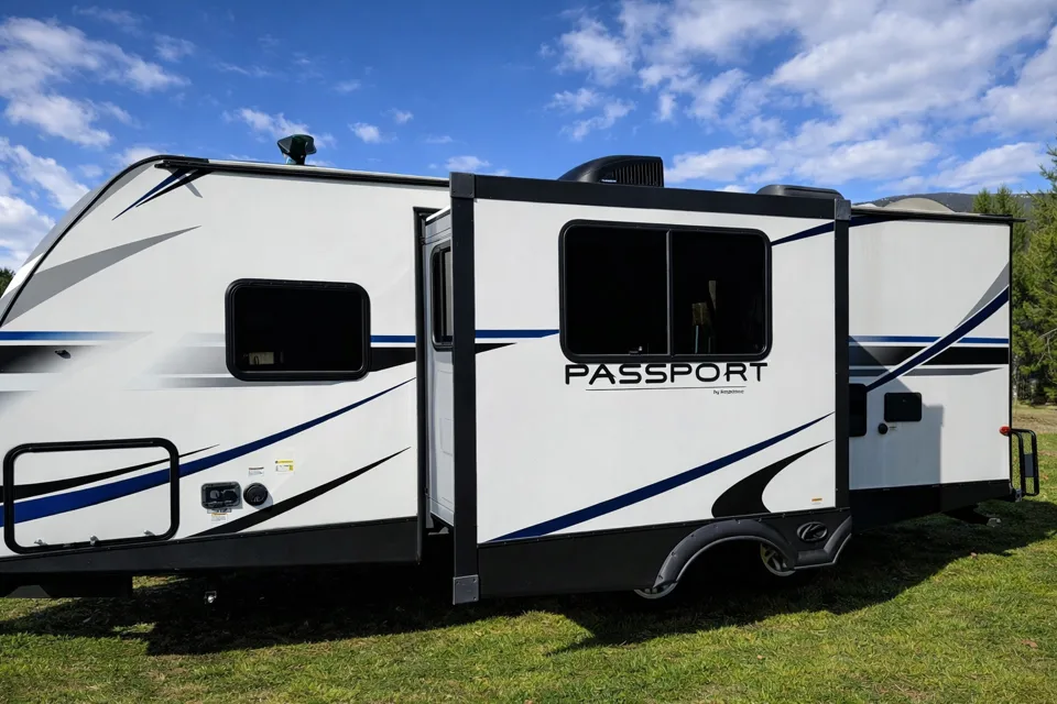
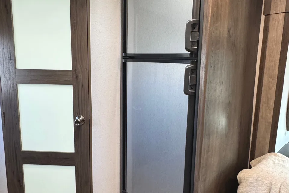
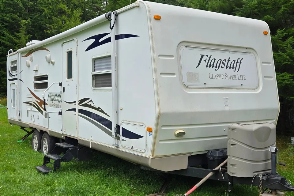
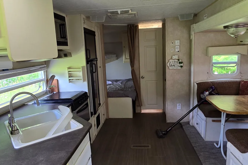
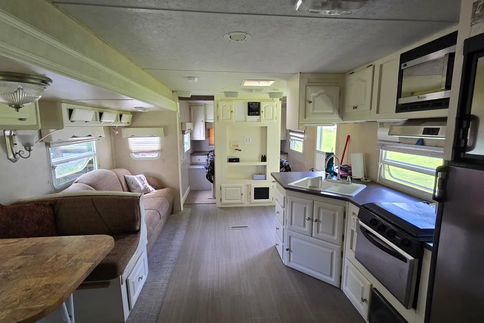
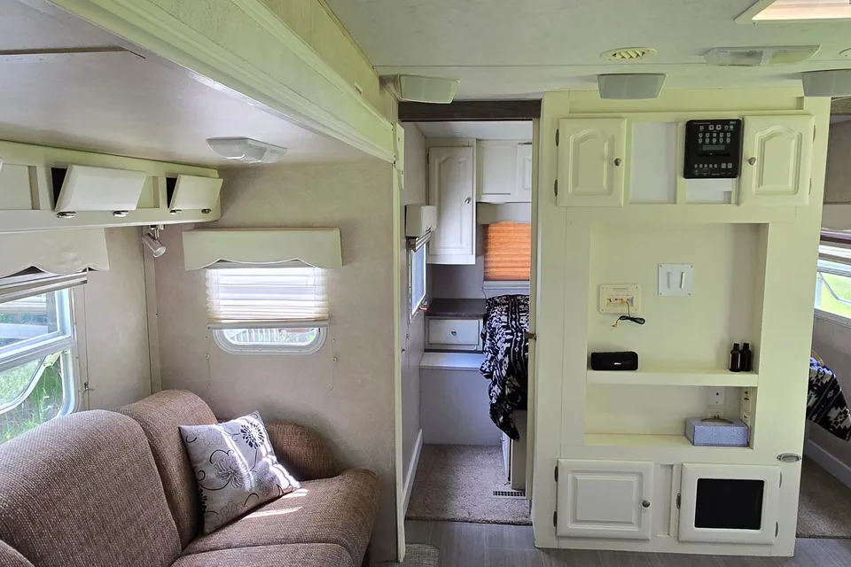
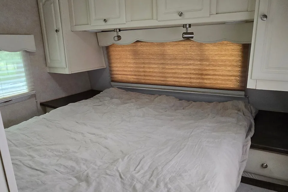
Featured RV rentals for Kokanee Glacier Provincial Park
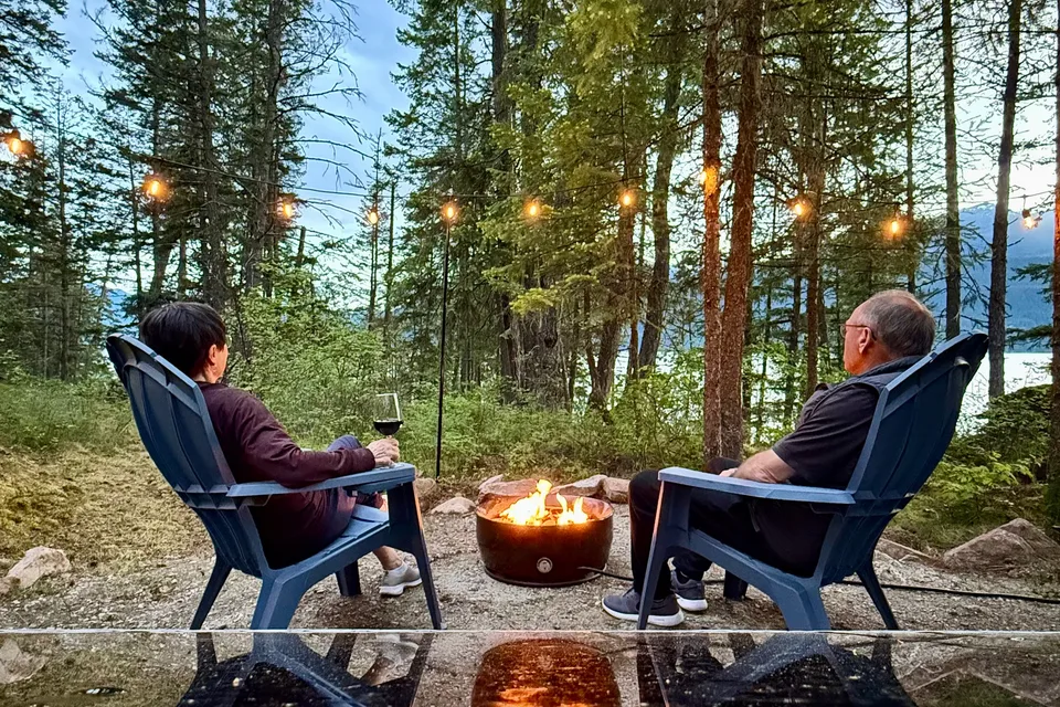
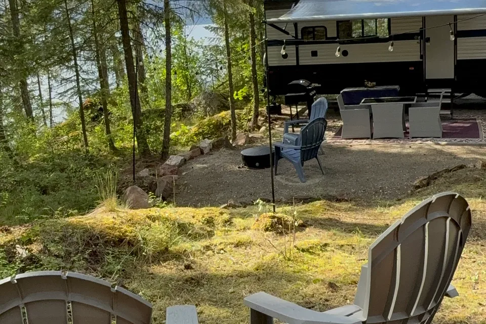
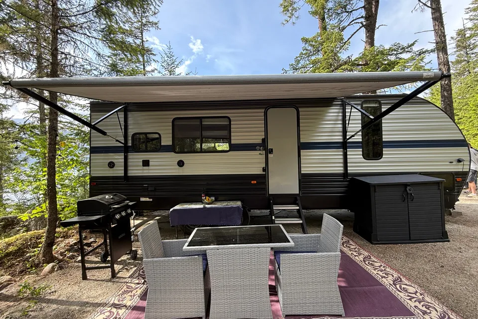
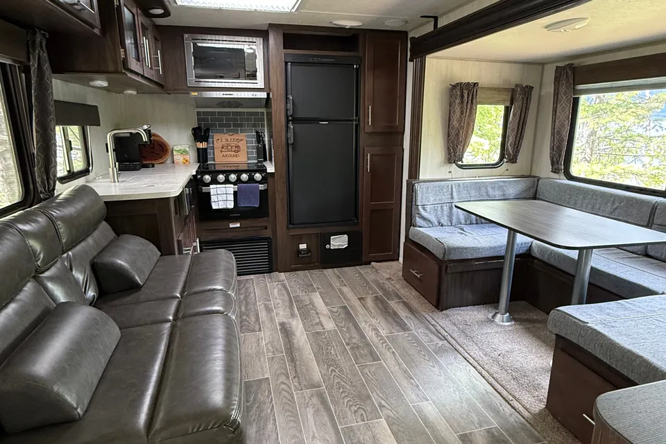
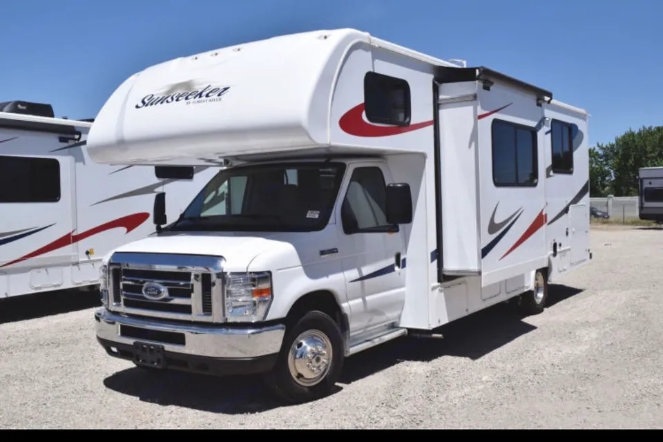
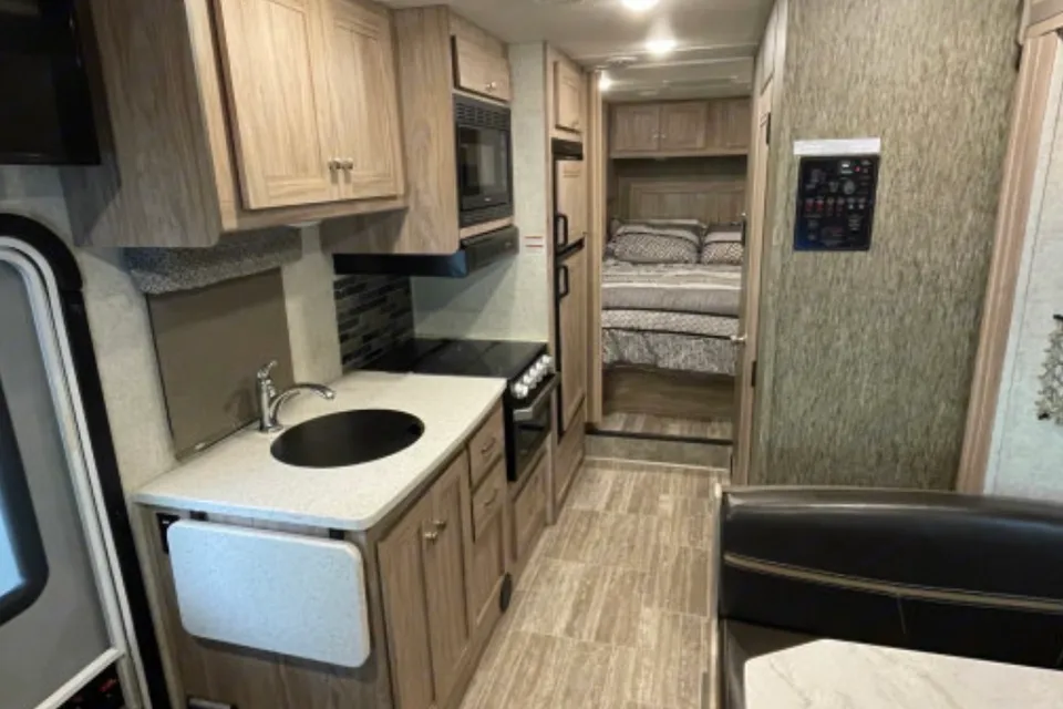
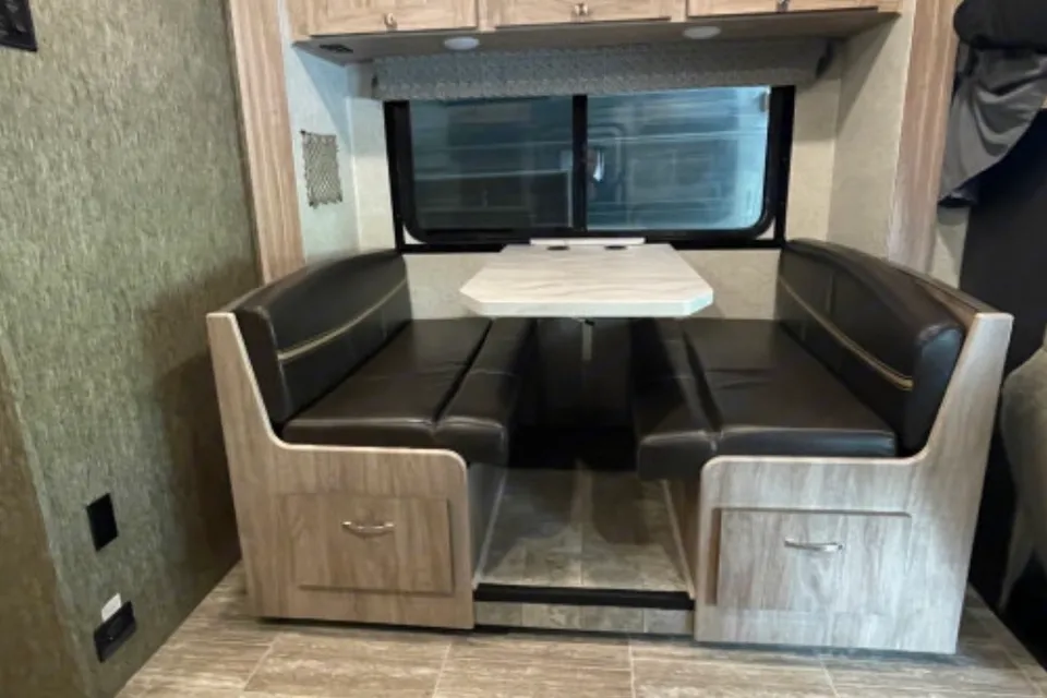
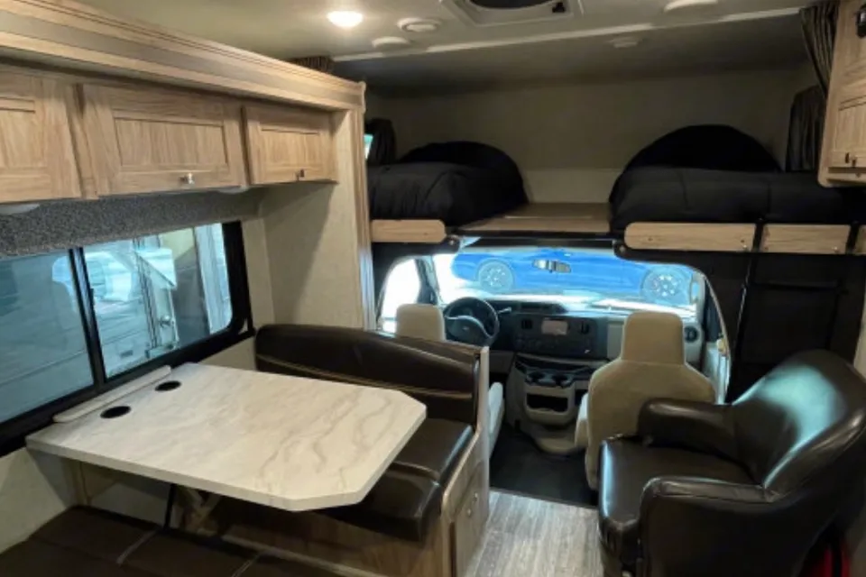
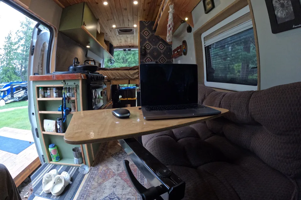
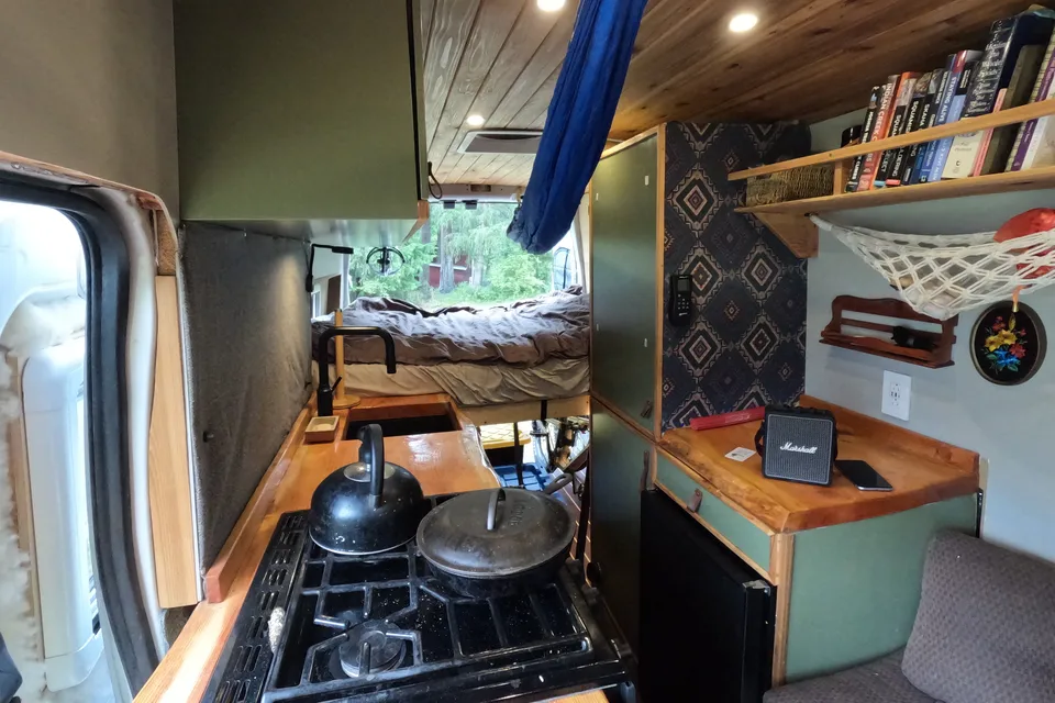
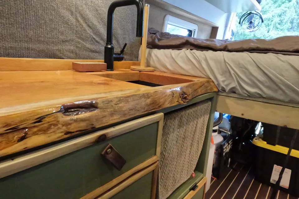
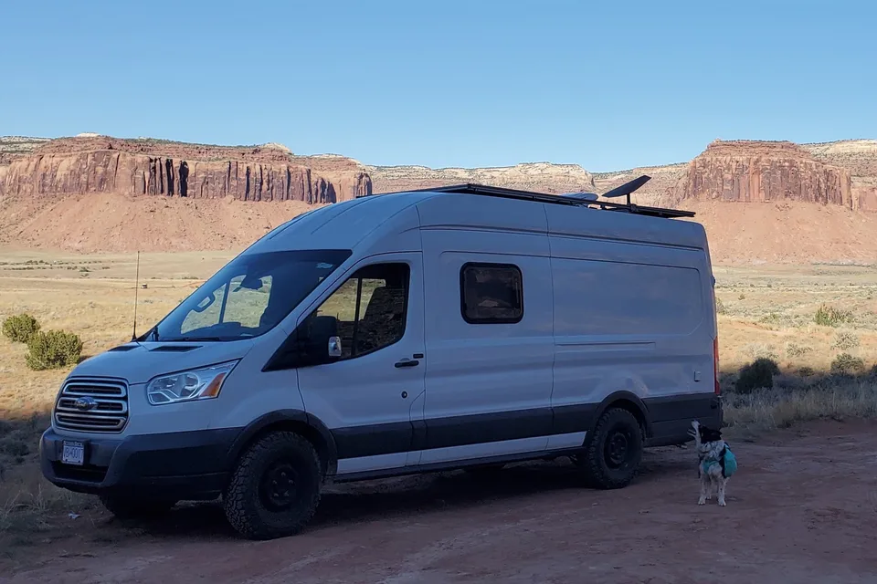
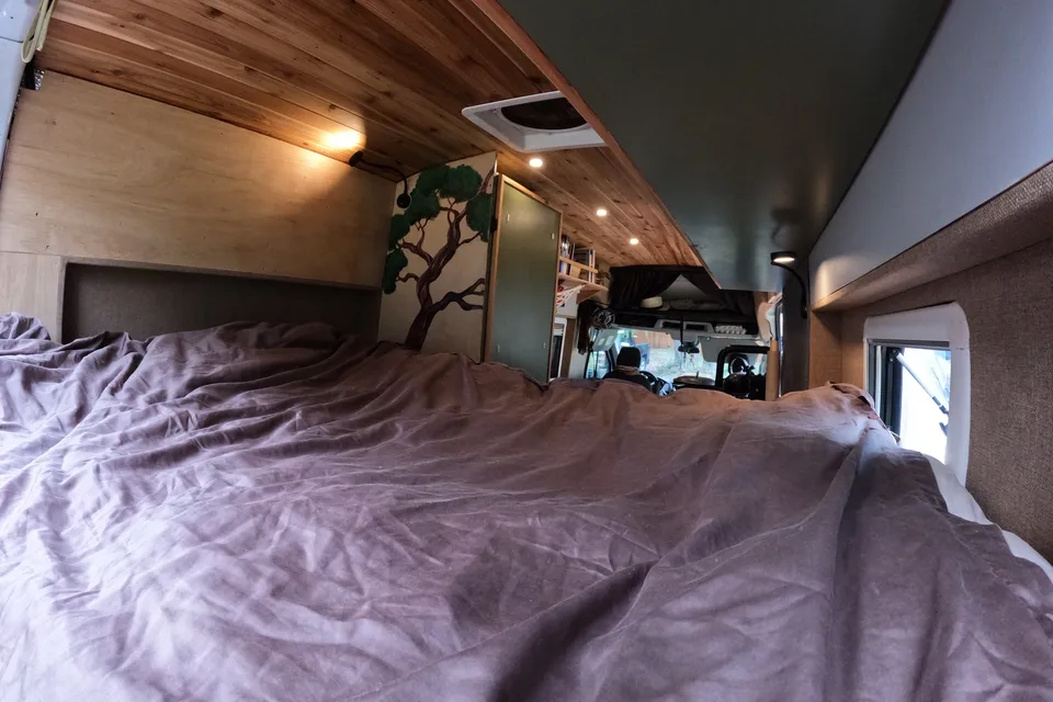
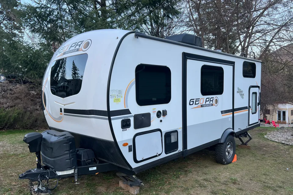

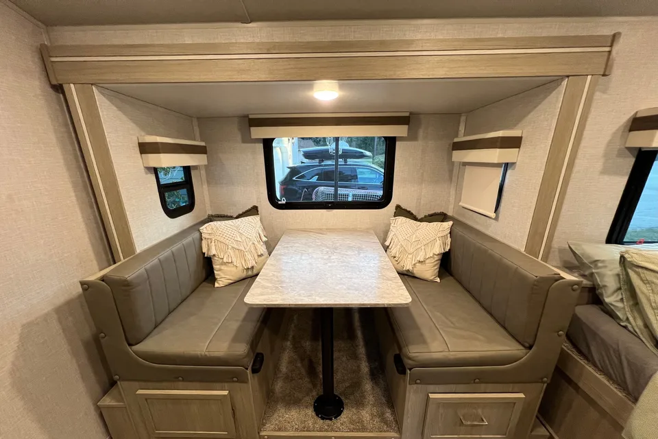
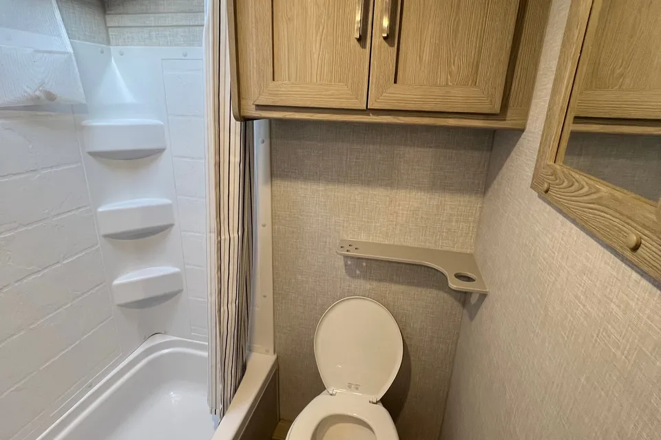
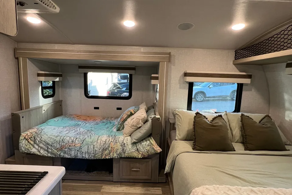
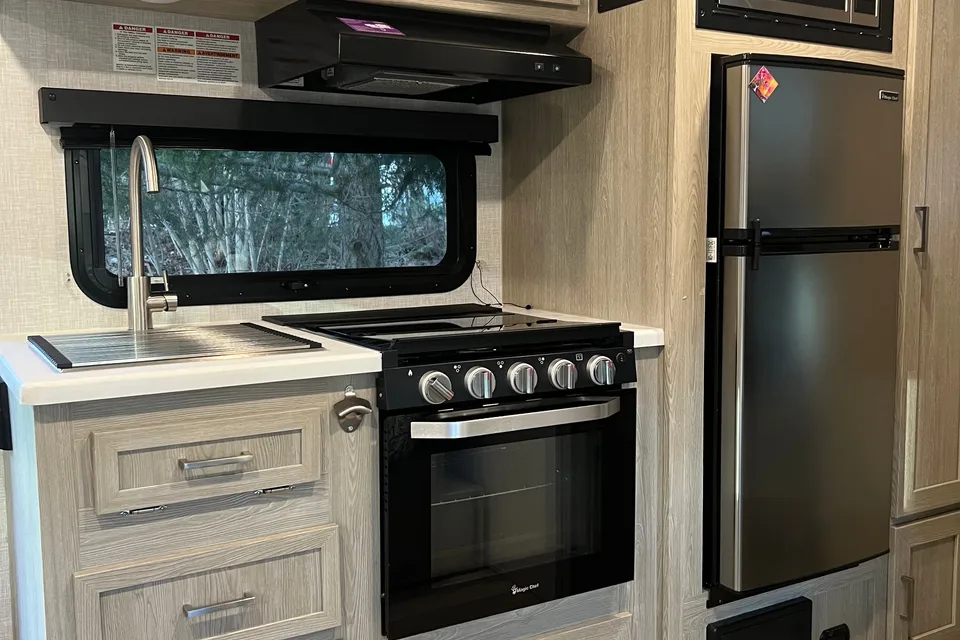
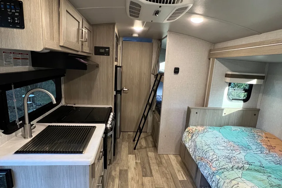
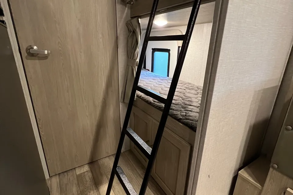
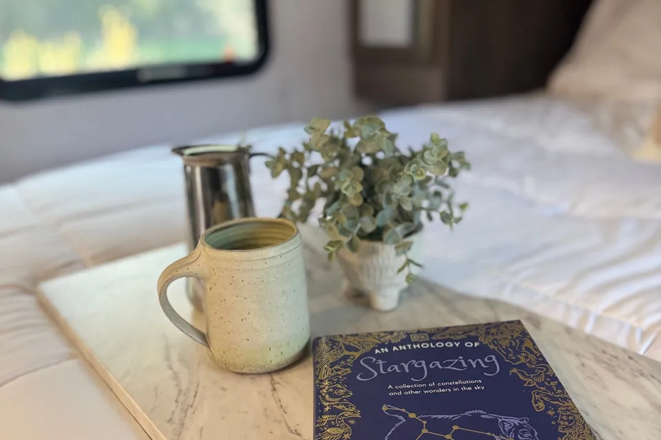
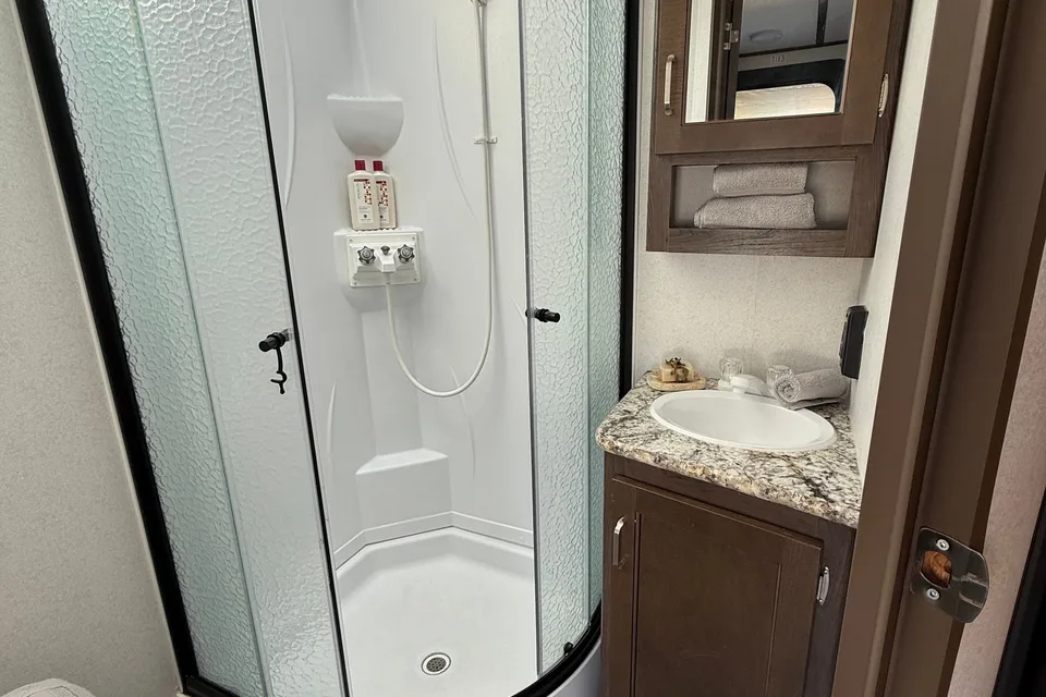
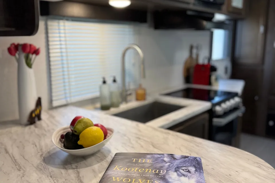
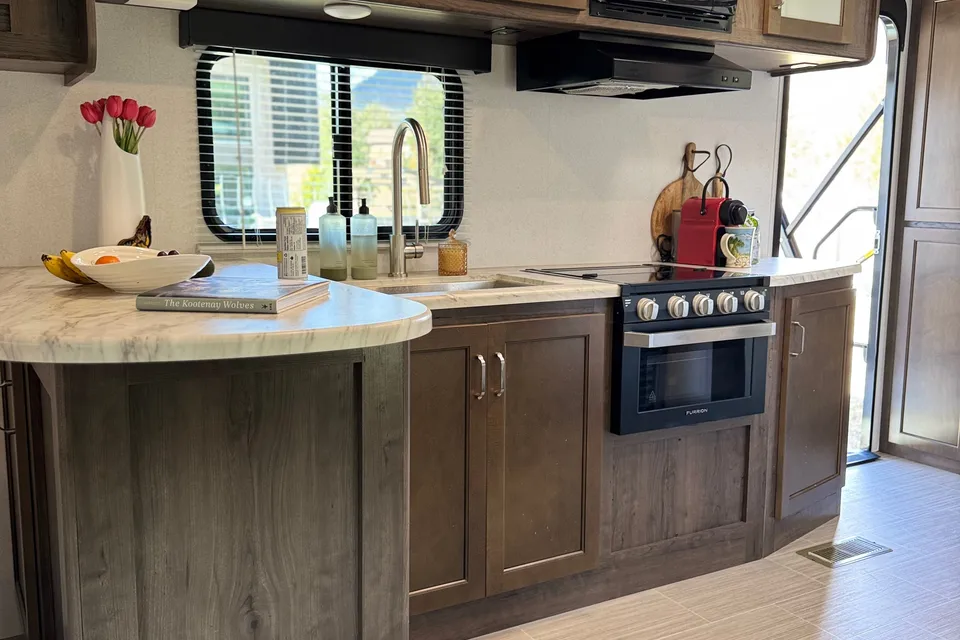
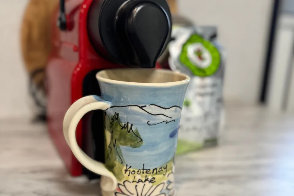
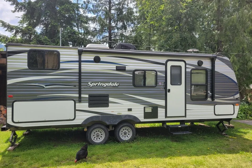
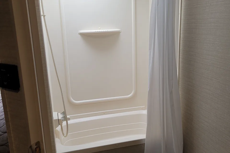
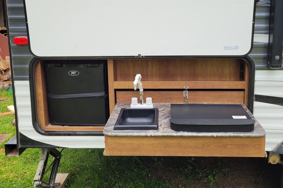
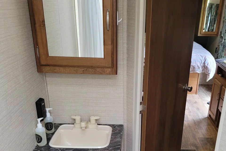
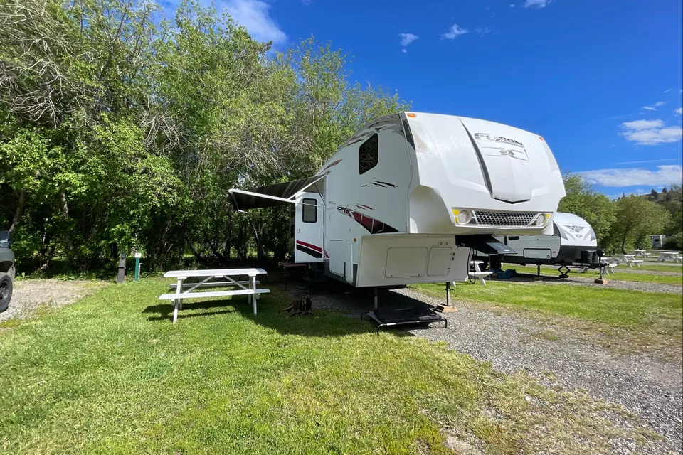
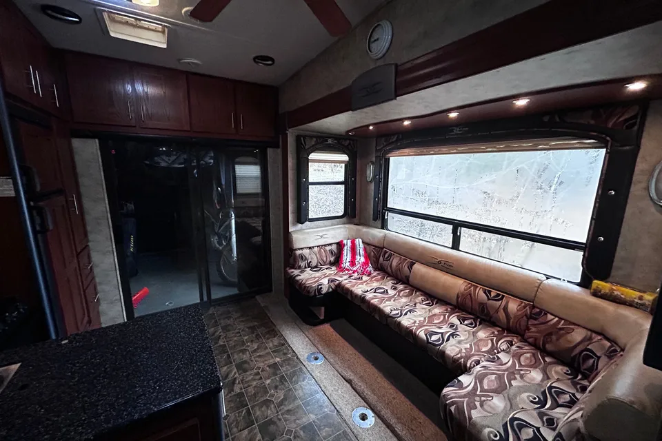
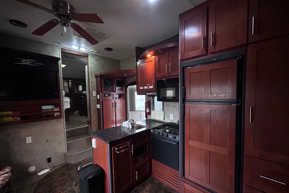
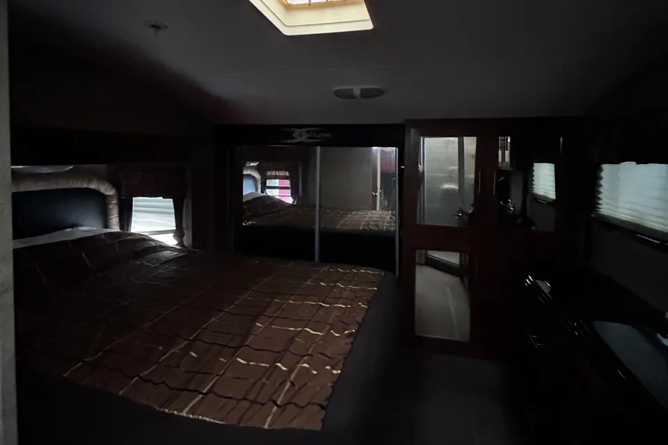
 Superhost
Best time to visit Kokanee Glacier Provincial Park
Mid-July through early September is the prime window, since snow can occur in October at all levels in the park and the higher elevations are not likely to be snow-free until July. These summer months bring the most reliable trail access, open alpine meadows, and best lake fishing conditions. Visitors should be aware that this is a high elevation park and severe weather events can happen throughout all seasons, particularly in late spring and fall. Shoulder-season RVers should expect possible snow, muddy access roads, and limited services.
Access roads closed by snow; deep snowpack, avalanche terrain
Access roads closed by snow; ski mountaineering only
Access roads closed by snow; winter conditions persist
Access roads typically still snow-covered at elevation
Trails under snow at elevation; severe weather possible
Higher elevations still snow-covered; access roads opening
Peak hiking season; higher elevations becoming snow-free
Peak hiking season; book backcountry cabins early
Severe weather possible; snow can arrive early
Snow can occur at all levels; access roads may close
Access roads closed by snow; winter conditions
Access roads closed by snow; deep snowpack
Things to do at Kokanee Glacier Provincial Park
- Gibson Lake Loop EasyRV parking available
An easy 2.5 km return hike starting at the main Gibson Lake trailhead and parking lot, with trailhead elevation of 1,536 metres. Trail access is from Hwy 3A, 19 km north of Nelson, following the gravel road for 16 km to the parking lot at Gibson Lake, where amenities include picnic tables, a pit toilet, a day-use shelter and fishing, with great views of surrounding peaks and old mine workings. bcparks.ca/kokanee-glacier-park/hiking/
- Kokanee Glacier and Slocan Chief Trail ModerateRV parking available
The park's signature backcountry route to the glacier and historic Slocan Chief area. Moderate, 8 km to Kokanee Glacier, 9.3 km to Slocan Chief, approximately 4 hours, elevation gain/loss: 590/100 metres. bcparks.ca/kokanee-glacier-park/hiking/
- Kokanee Lake Hike ModerateRV parking available
A rewarding alpine climb to one of the park's signature lakes. Moderate, 4.5 km, 2 hours, elevation gain: 445 metres. Kokanee Lake is 1,200 metres long and 400 metres wide, surrounded by precipitous cliffs and rock slides. bcparks.ca/kokanee-glacier-park/hiking/
- Fishing Alpine Lakes EasyRV parking available
Cast for trout in the park's many scenic lakes. Fishing and angling are popular at Gibson, Kokanee, Kaslo and Tanal Lakes, which offer good fishing for rainbow and cutthroat trout. bcparks.ca/kokanee-glacier-park/
- Kaslo Lake Backcountry Camp EasyRV parking available
An easy backcountry hike to a tent pad camping area with alpine scenery. This is an easy 3 km hike, approximately 1.5 hours, with elevation gain of 40/100 metres, and facilities include 8 tent pads, pit toilet, bear-proof food cache, cooking centre and a grey water pit, with fishing in Keen, Garland and Kaslo Lakes and beautiful alpine meadows. bcparks.ca/kokanee-glacier-park/hiking/
- Ski Mountaineering Strenuous
A popular winter pursuit for experienced backcountry skiers when access permits. Ski mountaineering is available, and snowmobiling is prohibited in Kokanee Glacier Park. Users are responsible for their snow stability evaluation, route finding, self rescue and first-aid. bcparks.ca/kokanee-glacier-park/
- Sapphire Lakes Route Moderate
A longer day hike to a string of vividly coloured alpine tarns. Moderate, 10.2 km, 5 hours, elevation gain: 759/107 metres, with trailhead elevation of 1,340 metres. The gem-coloured Sapphire Lakes are among the park's most scenic destinations. bcparks.ca/kokanee-glacier-park/hiking/
Top Hosts near BC, Canada
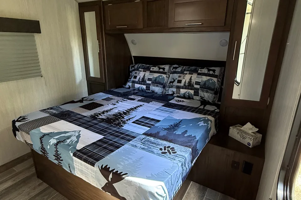
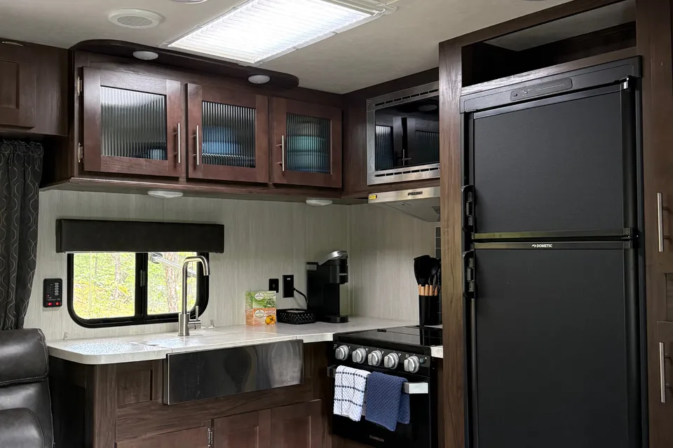
Our trailer experience at Kokanee Creek Provincial Park was absolutely amazing! From. The moment we met Curtis, everything exceeded our expectations. The trailer itself was fabulous, spotless clean, beautifully set up, and I incredibly comfortable. Everything worked perfectly, which made our stay completely stress-free. The bedding was incredibly cozy and luxurious, and all the thoughtful touches were appreciated. Delicious granola and coffee were awesome. Also an original piece if art, a lovely card made by his daughter. Just spectacular. This was hands down one of our best experiences. I would totally do it again. Thanks
Dan F. - Jul 2026
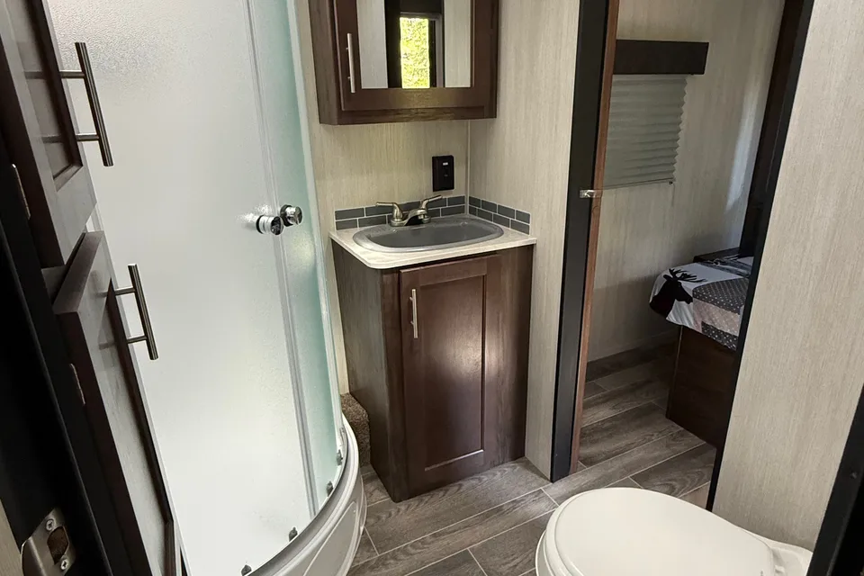
We had the best time in Ken and Margot’s camper! They were incredible hosts and had it stocked with everything - bedding, towels, dishes, cooking utensils, and so much more. Despite a rainy weekend, we had the best time in this camper and our kids will never forget it. They loved sleeping on the bunks. It gets nice and dark in the trailer for sleeping and it was such a comfortable little home away from home. Ken and Margot truly went the extra mile and made our camping experience extra special - thank you so much for all of the work you did with setting it all up! It was so nice to meet you and we would love to rent again next time we’re in the area!
Christie D. - Jun 2026
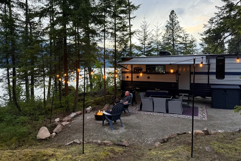
RV delivery to a campground, made simple
Skip the pickup. Skip the towing. Get an RV delivered and set up at your campsite so you can arrive, unpack, and start your trip stress-free.
Choose your perfect RV
Browse RVs that offer delivery to your site and book the one that fits your budget and adventure style.
Lock in your campsite
Reserve your campsite with the hookups and amenities you need. We’ll help you find RVs that meet site requirements.
Arrive and relax
Your host delivers and sets up the RV before you get there. Just show up and start enjoying your trip.
Find the perfect RV for these nearby campgrounds
RV Rentals Kokanee Glacier Provincial Park
Kokanee Glacier Provincial Park, BC, Canada
How to get to Kokanee Glacier Provincial Park
The closest city is Nelson, BC, a roughly 30 to 45 minute drive to the Gibson Lake trailhead depending on road conditions. From Hwy 3A, 19 km northeast of Nelson, drive up Kokanee Creek for 16 km to Gibson Lake. Alternate access includes Hwy 31, 10 km north of Ainsworth, up Woodbury Creek for 13 km to the trailhead, and from Hwy 6, 8 km south of Slocan, up Lemon Creek for 16 km to the trailhead. These gravel forestry roads may not be suitable for low-clearance vehicles or large RVs, so RVers should park larger rigs at lower-elevation campgrounds and shuttle in with a tow vehicle; the nearest airport for fly-and-rent trips is West Kootenay Regional Airport in Castlegar.
RVezy vs. Traditional RV rental
RVezy rentals
- Book directly from local RV owners
- Choose the exact RV you want
- Delivery to your campsite, home, or destination
- More variety: trailers, motorhomes, and campers
Traditional RV rental
- Limited fleet from a rental company
- Exact RV not guaranteed
- Pickup only at retail locations
- Fewer RV types and less availability