Painted Rocks State Park - United States
Discover the RVezy RV rental marketplace
About Painted Rocks State Park
RV quick facts for Painted Rocks State Park
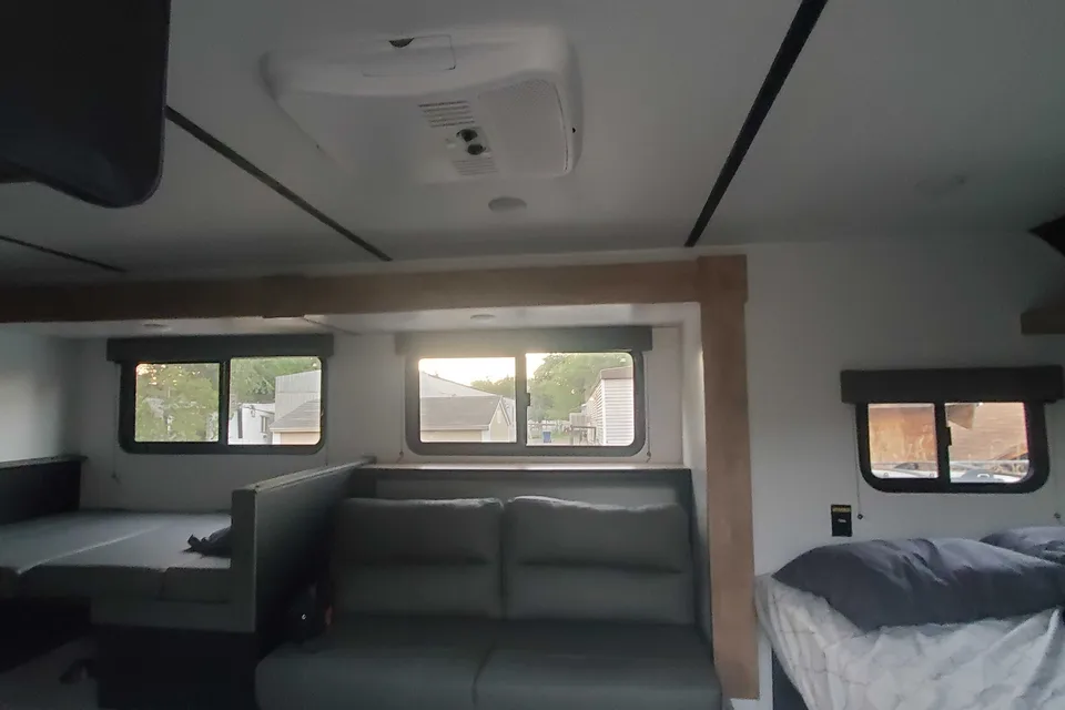
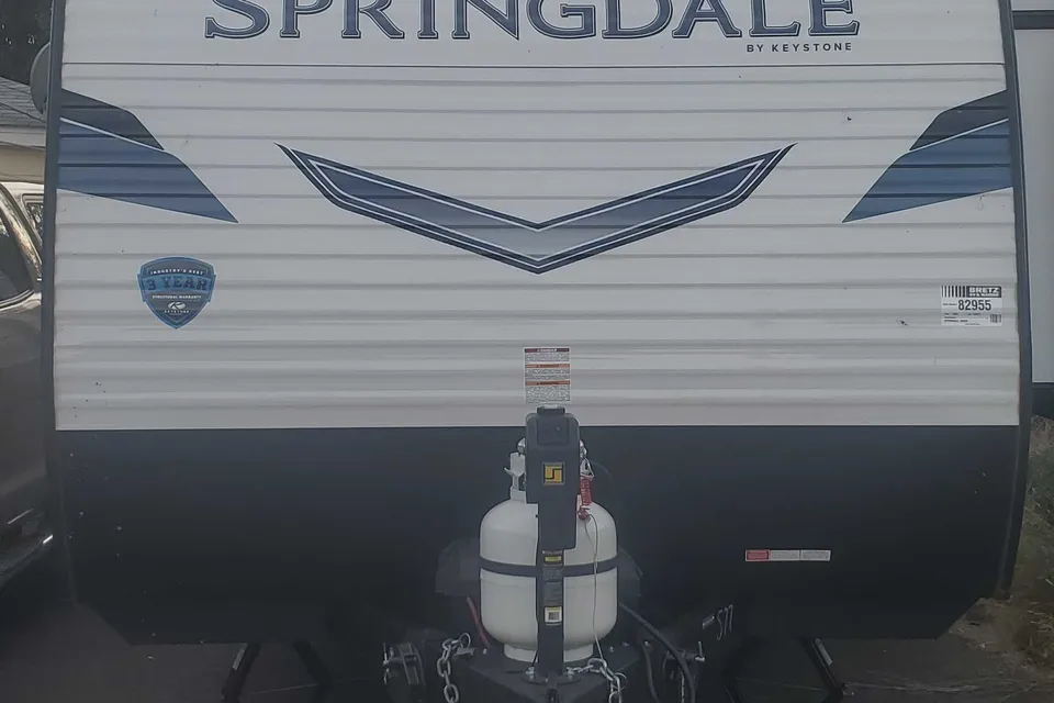
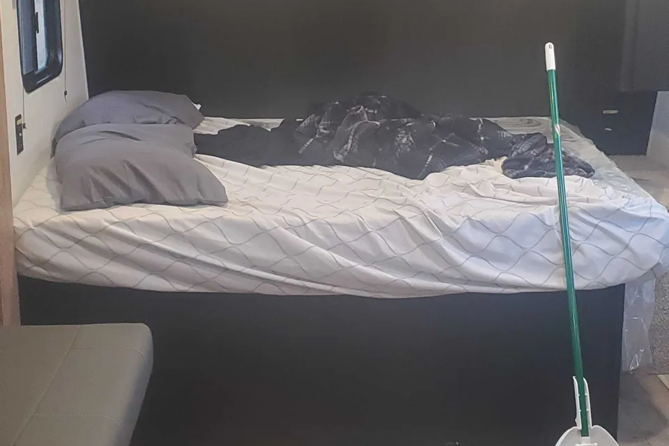
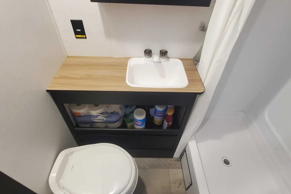
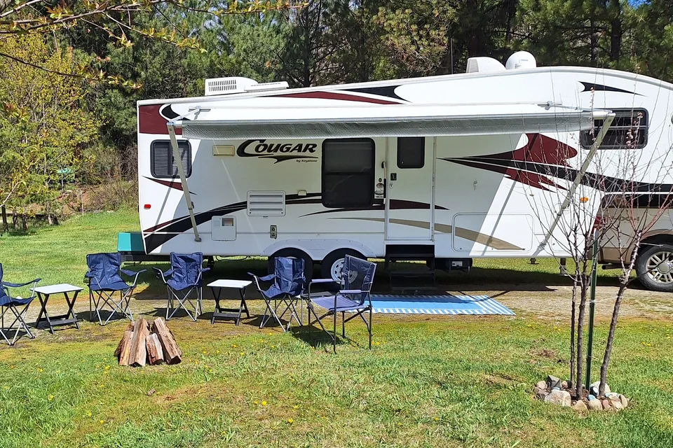
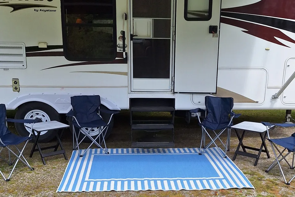
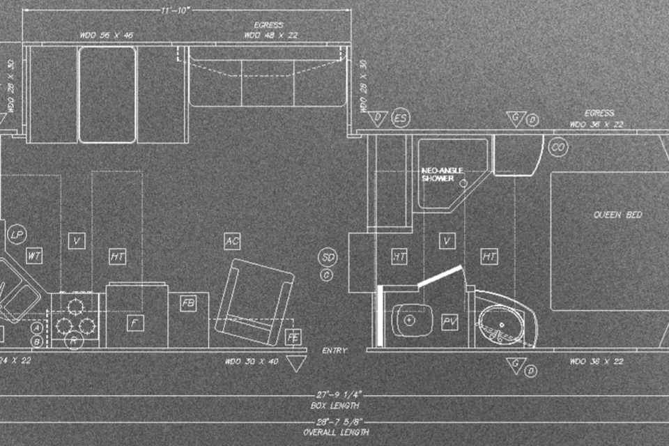
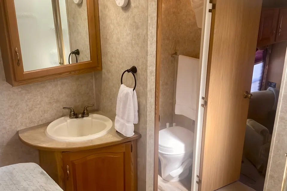
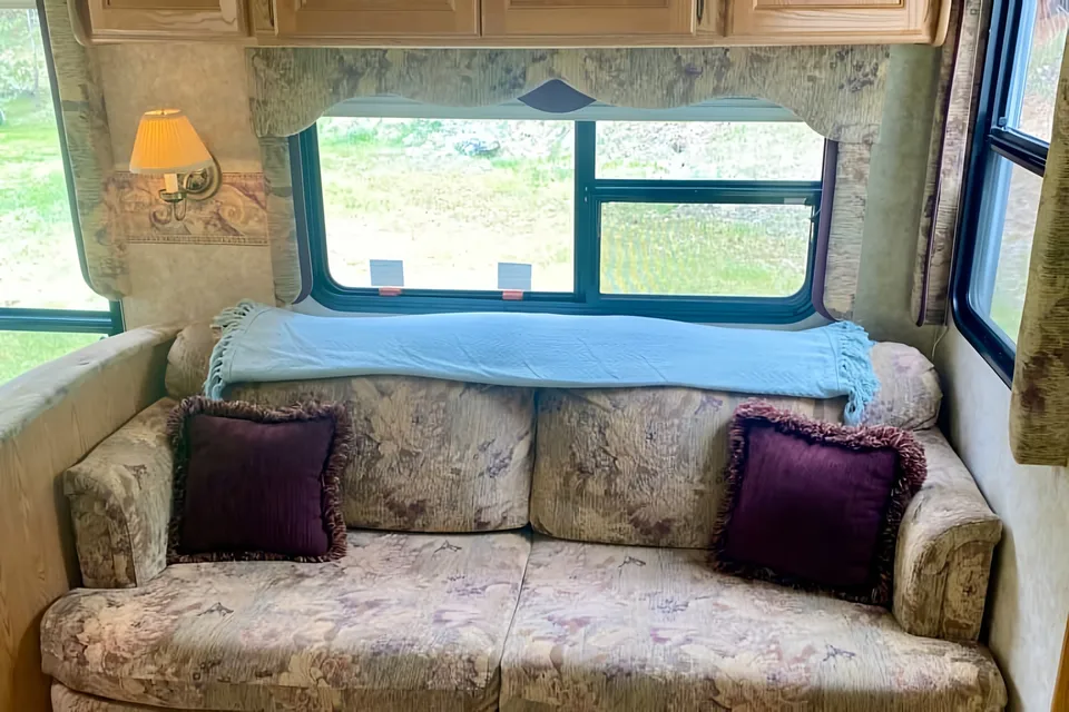
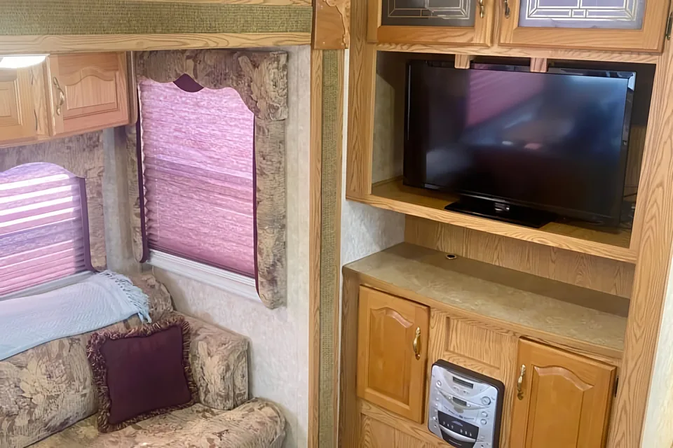
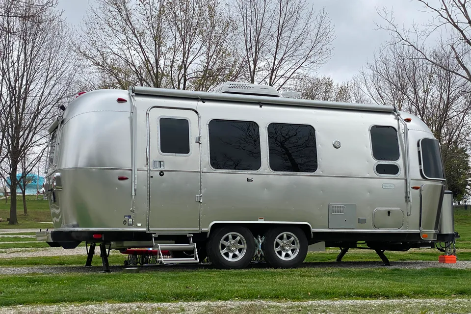
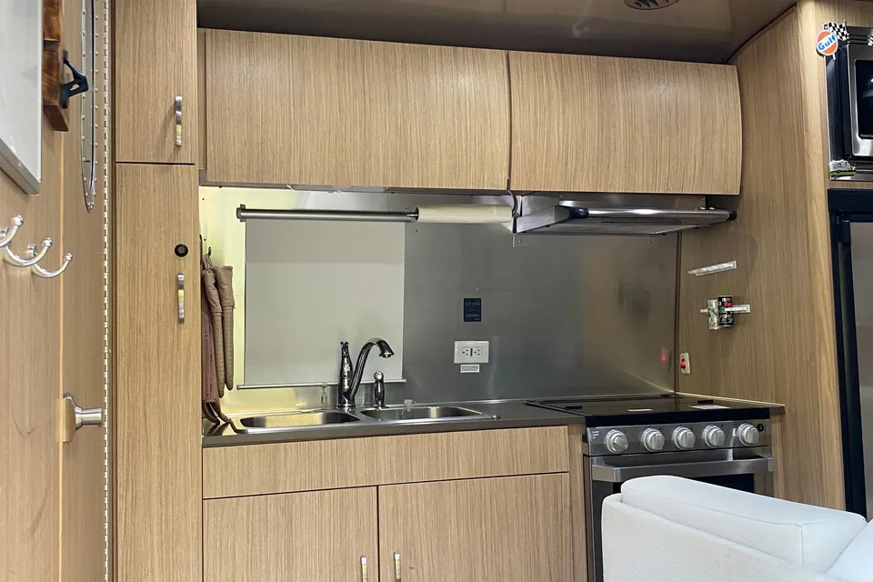
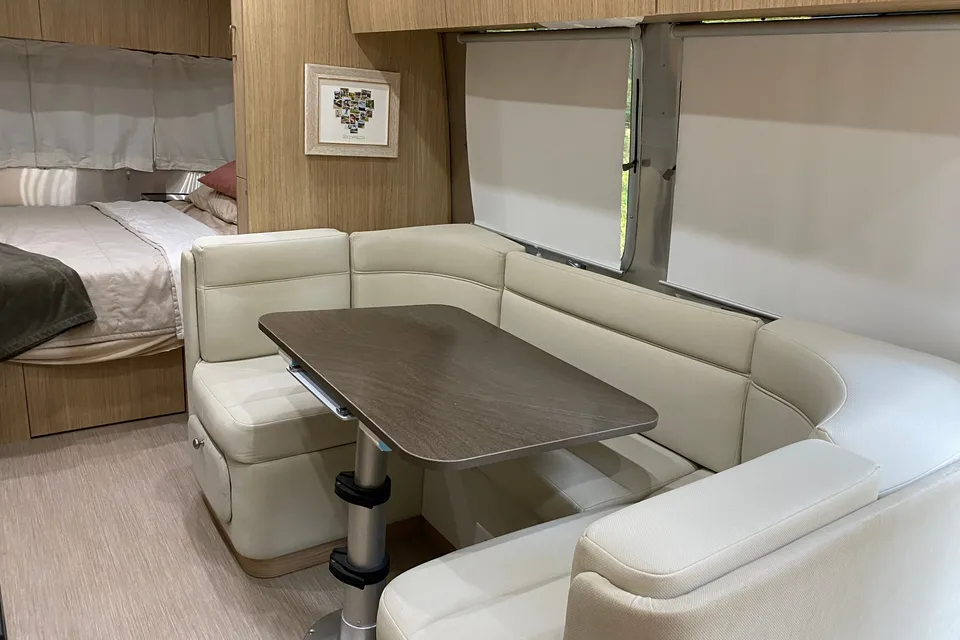
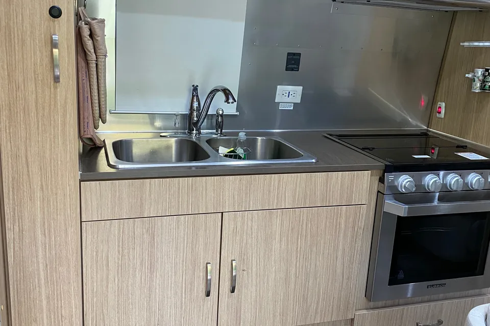
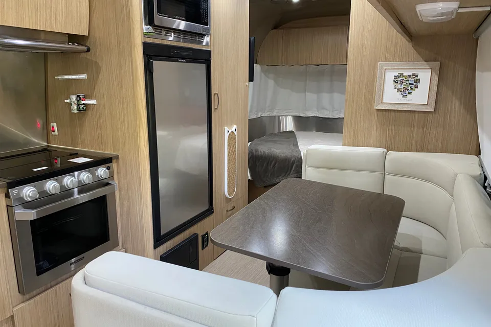
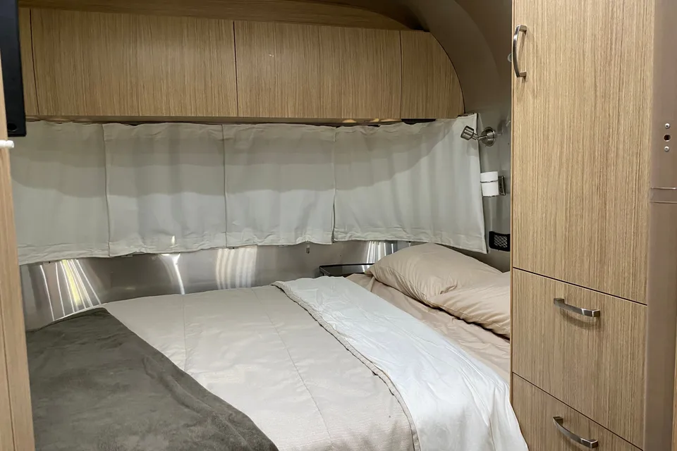
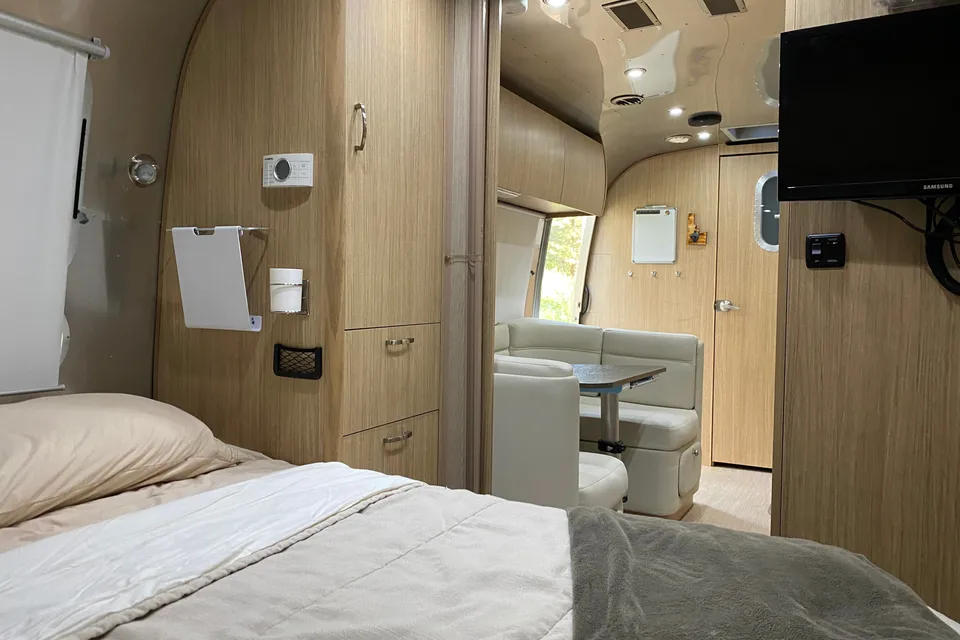
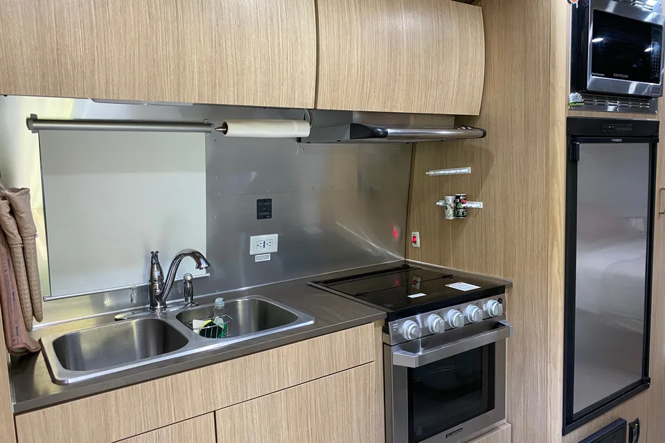
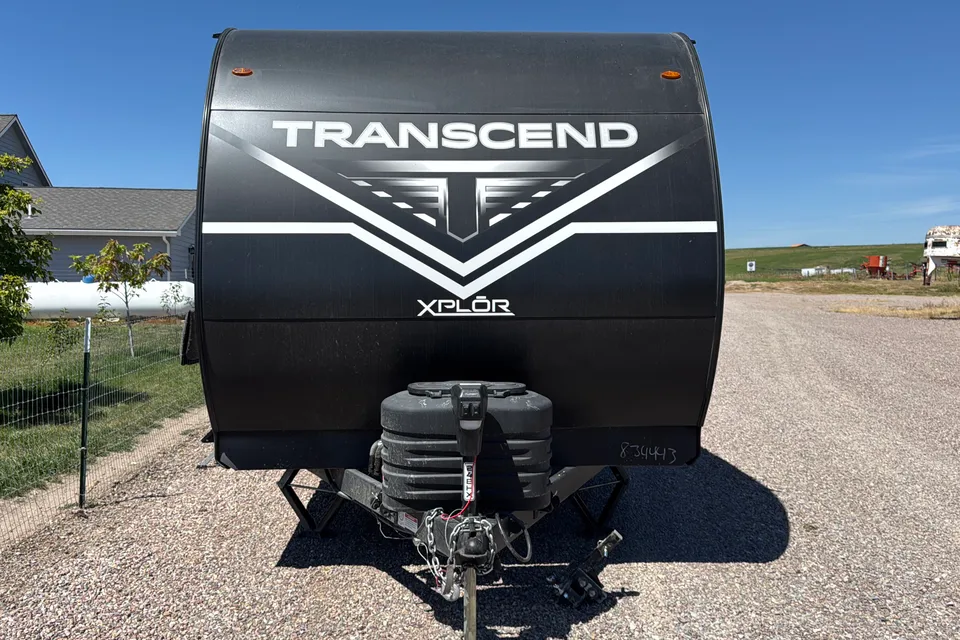
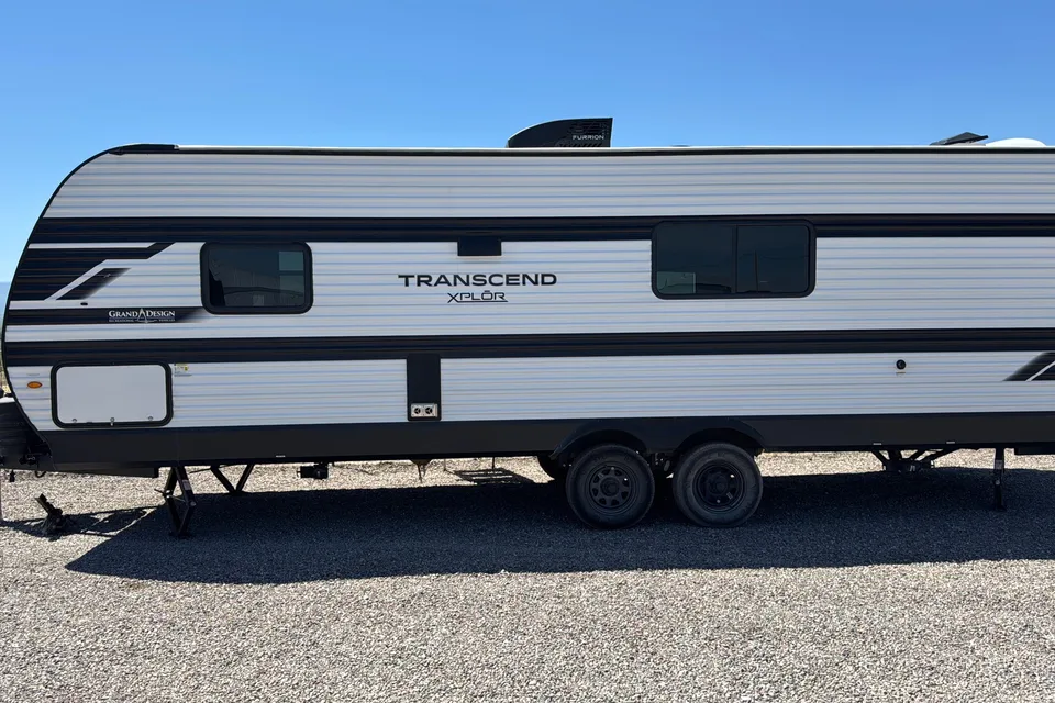
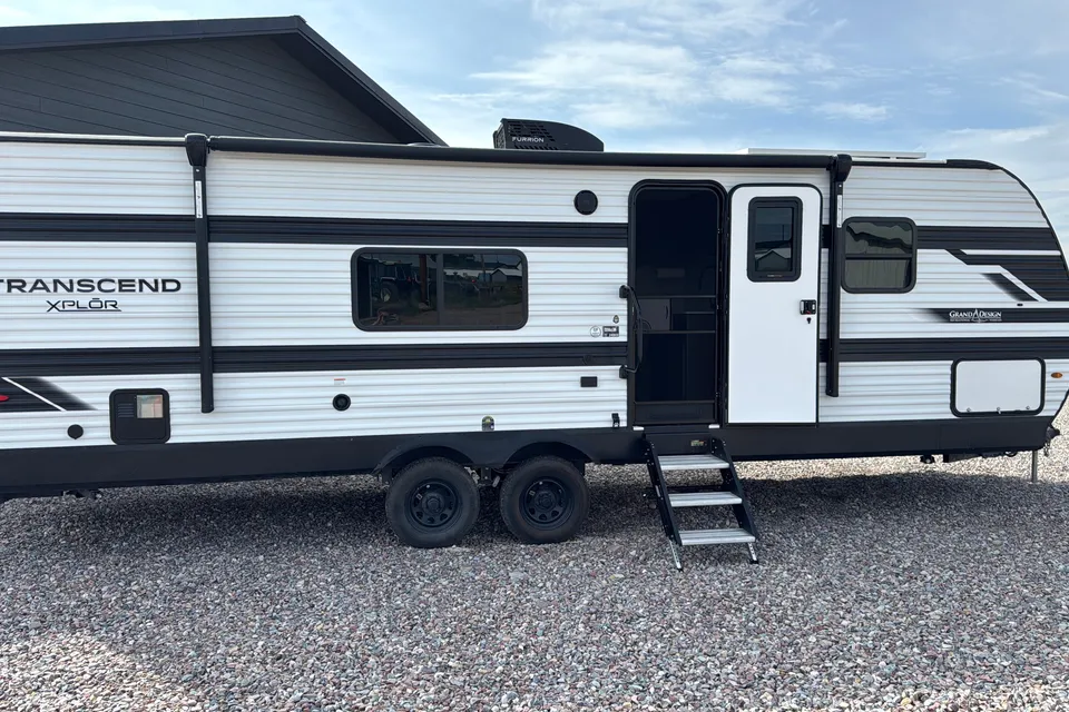
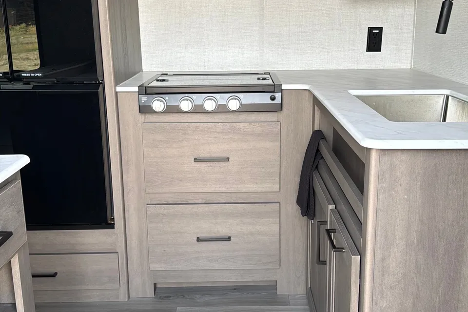
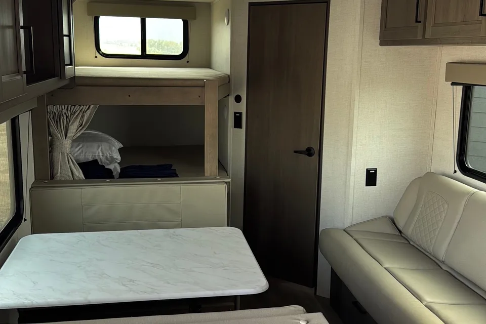
Featured RV rentals for Painted Rocks State Park
Best time to visit Painted Rocks State Park
Late June through early September is the prime window, when West Fork Road is clear of snow, reservoir levels are high, and the campground, boat ramp, and dock are all usable. July and August offer the warmest, driest weather for swimming and boating but also the highest fire danger and smoke risk in western Montana. May and late September are quieter shoulder-season options for RV travelers who prefer cool nights and fewer crowds, though services are limited and weather can turn quickly. Winter visits are possible but the park is snow-bound and most RVers should plan around summer conditions.
Winter conditions; West Fork Road snow-covered, campground effectively closed.
Cold and snowy; winter access very limited, campground services closed.
Snowmelt begins; reservoir may still be frozen, campground services closed.
Mud season; campground services not yet fully available.
Shoulder season; cool nights and variable weather.
Reservoir fills and boating season opens.
Peak season; hot, dry, and smoky during wildfire years.
Peak season; high fire danger and possible fire restrictions.
Pleasant shoulder month; reservoir levels may drop.
Cool days and frosty nights; services winding down.
Early winter; snow likely on West Fork Road, campground services closed.
Winter conditions; campground effectively closed, plan summer RV trips instead.
Things to do at Painted Rocks State Park
- Boating on Painted Rocks Reservoir EasyRV parking available
The park has a boat ramp and dock on Painted Rocks Reservoir, making it a popular base for motorboats, kayaks, and canoes. Visitors enjoy swimming, boating, and fishing on the lake during the summer months. nps.gov/places/painted-rocks-state-park.htm
- Fishing the West Fork and Reservoir EasyRV parking available
The reservoir and the adjoining West Fork of the Bitterroot River are well-known trout waters. Anglers will find mountain whitefish and a variety of trout in the area. fs.usda.gov/r01/bitterroot/recreation/alta-campground
- Viewing the Painted Rocks Cliffs EasyRV parking available
The park's namesake cliffs line West Fork Road and are best seen from pullouts along the drive. Green, yellow, and orange lichens cover the grey and black walls of granite and rhyolite, creating the painted effect. nps.gov/places/painted-rocks-state-park.htm
- Little Boulder Bay Boating Site EasyRV parking available
Little Boulder Bay is a secondary launch site on Painted Rocks Lake with parking for vehicles and boat trailers. It is a good alternative when the main state park ramp is busy. fs.usda.gov/recarea/bitterroot/recarea/?recid=60598
- Alta Ranger Station Historic Site EasyRV parking available
Just south of Painted Rocks Lake, the Alta Ranger Station was the first Forest Service Ranger Station in the United States, built in 1899. It is a short, easy visit with interpretive information and river access. fs.usda.gov/r01/bitterroot/recreation/alta-campground
- Wildlife Viewing EasyRV parking available
The West Fork drainage supports a wide range of wildlife. Black bears, bald eagles, mule and whitetail deer, moose, elk, and bighorn sheep are all regularly seen in and around the park. fs.usda.gov/r01/bitterroot/recreation/alta-campground
- Horse Creek Hot Springs Day Trip Moderate
Horse Creek natural hot springs sit roughly 18 miles south of the Alta area on gravel road. A high-clearance vehicle is recommended, so most RV travelers should leave the rig at camp and take a tow vehicle. fs.usda.gov/r01/bitterroot/recreation/alta-campground
- Hiking in the Bitterroot National Forest Strenuous
Trails in the surrounding Bitterroot National Forest climb to peaks such as Lookout, Razorback, and Thunder Mountains and to Beaver and Deer Creek Points. Trailhead parking varies, so scout options suitable for your RV before towing in. fs.usda.gov/r01/bitterroot/recreation/alta-campground
RV delivery to a campground, made simple
Skip the pickup. Skip the towing. Get an RV delivered and set up at your campsite so you can arrive, unpack, and start your trip stress-free.
Choose your perfect RV
Browse RVs that offer delivery to your site and book the one that fits your budget and adventure style.
Lock in your campsite
Reserve your campsite with the hookups and amenities you need. We’ll help you find RVs that meet site requirements.
Arrive and relax
Your host delivers and sets up the RV before you get there. Just show up and start enjoying your trip.
Find the perfect RV for these nearby campgrounds
RV Rentals Painted Rocks State Park
Painted Rocks State Park, MT, United States
How to get to Painted Rocks State Park
From Darby, Montana, drive about 4 miles south on U.S. Highway 93, then turn onto West Fork Road (State Highway 473) toward Painted Rocks State Park; the park is roughly 23 miles down the West Fork. From Hamilton, plan on about 40 to 45 miles total, or roughly an hour of driving. West Fork Road is paved but narrow and winding with limited pullouts, so large motorhomes and long trailers should drive slowly and watch for logging trucks, wildlife, and tight curves. The nearest major airport for fly-and-rent trips is Missoula Montana Airport (MSO), about 95 miles north via U.S. 93.
RVezy vs. Traditional RV rental
RVezy rentals
- Book directly from local RV owners
- Choose the exact RV you want
- Delivery to your campsite, home, or destination
- More variety: trailers, motorhomes, and campers
Traditional RV rental
- Limited fleet from a rental company
- Exact RV not guaranteed
- Pickup only at retail locations
- Fewer RV types and less availability