Sinks Canyon State Park - United States
Discover the RVezy RV rental marketplace
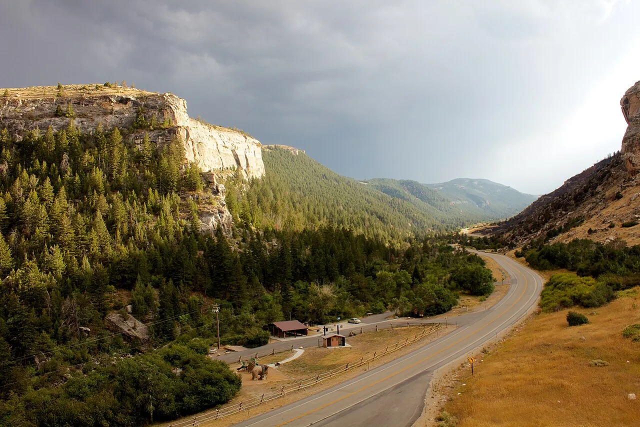
About Sinks Canyon State Park
RV quick facts for Sinks Canyon State Park
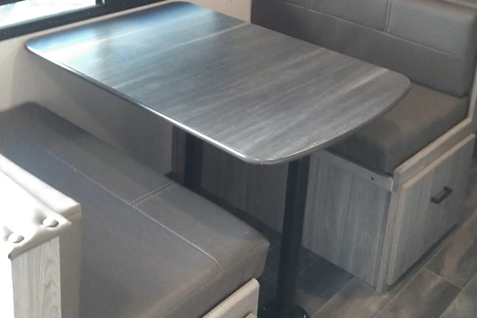
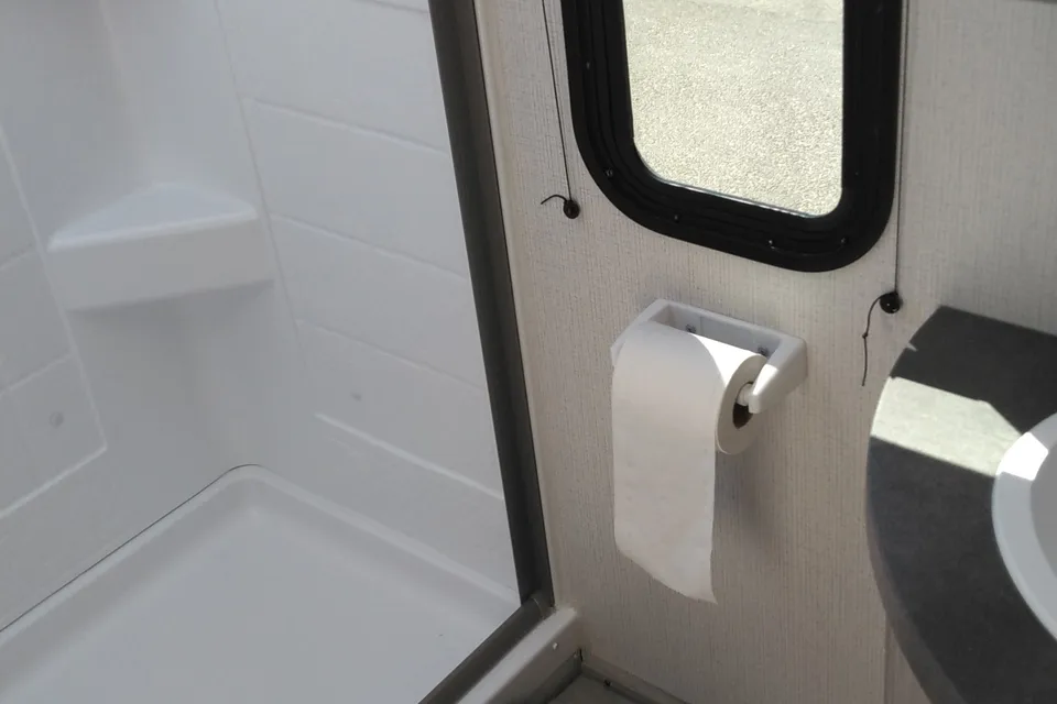
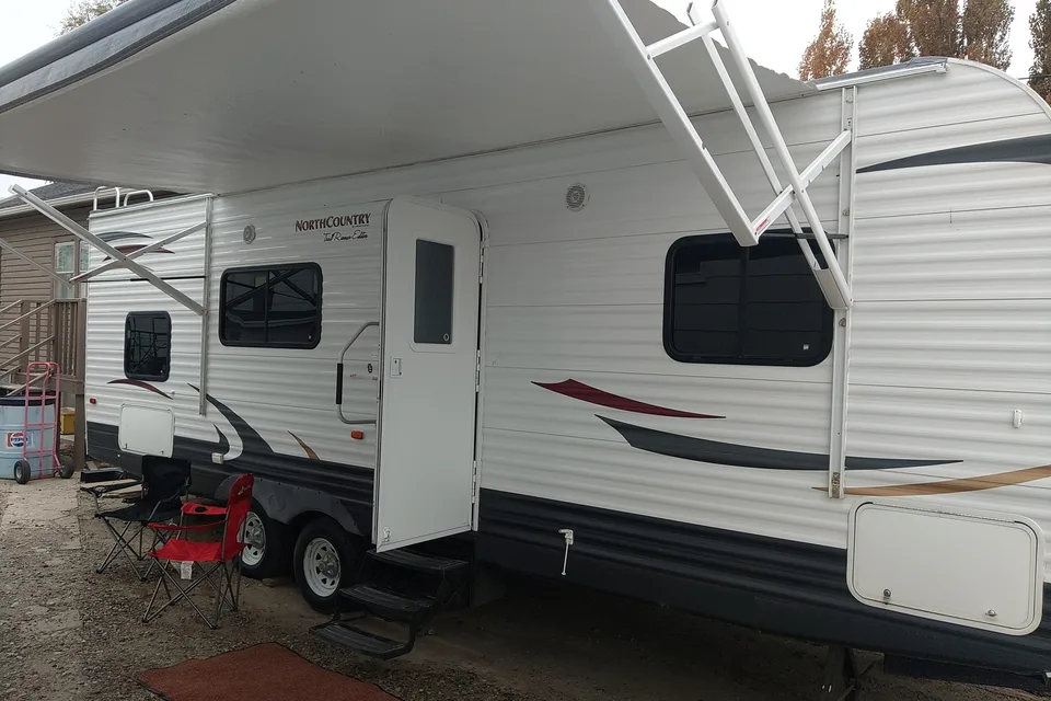
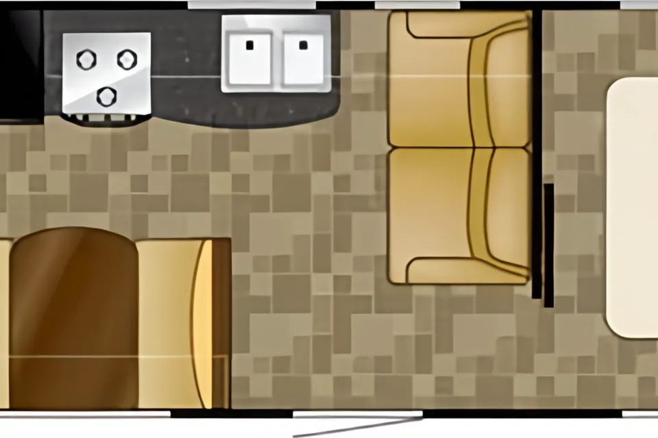
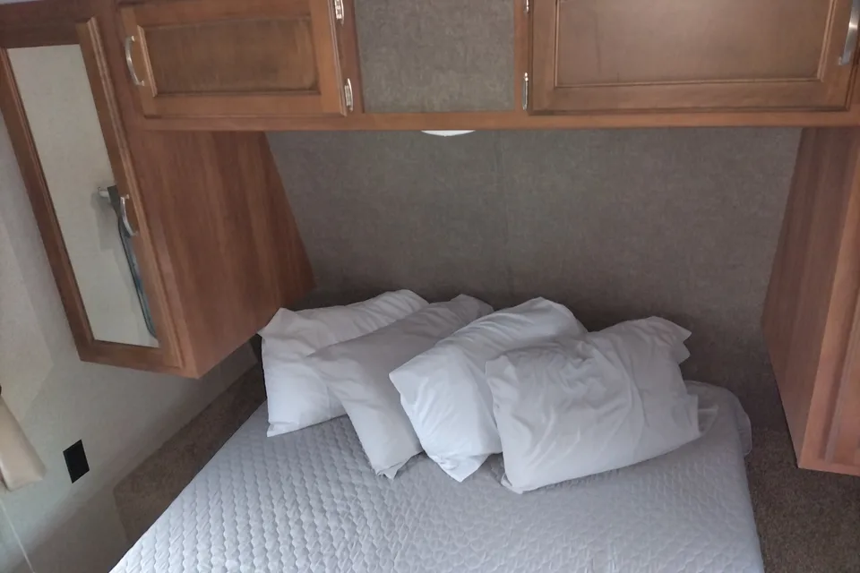
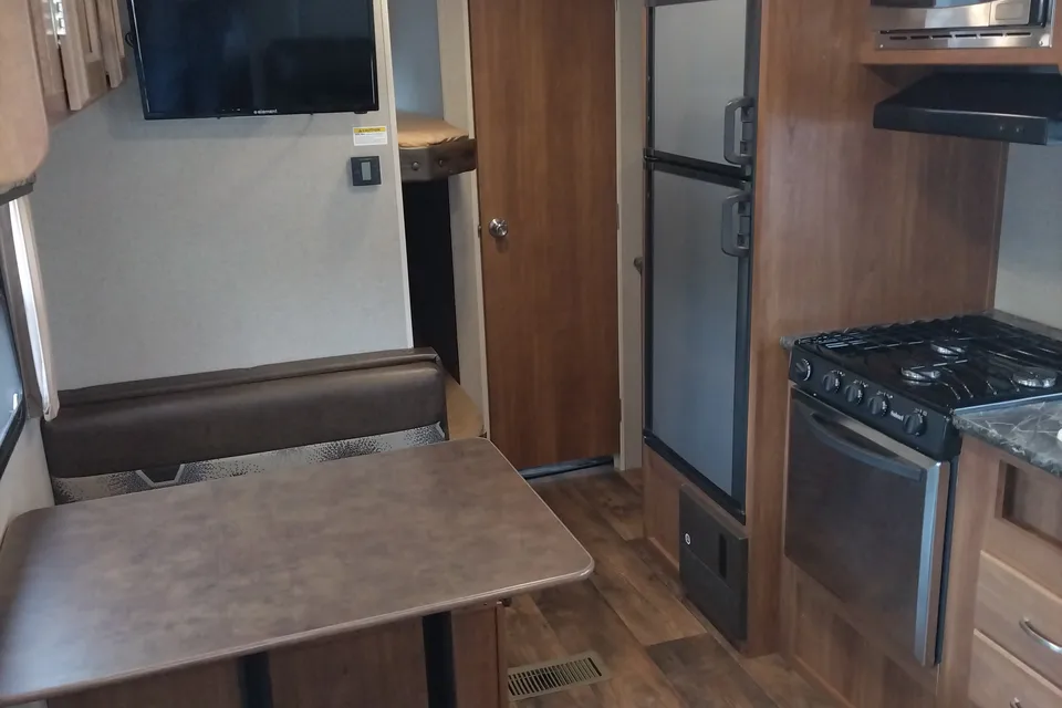
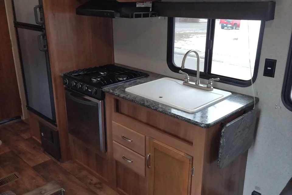
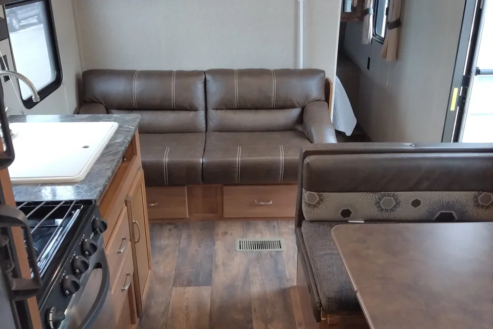
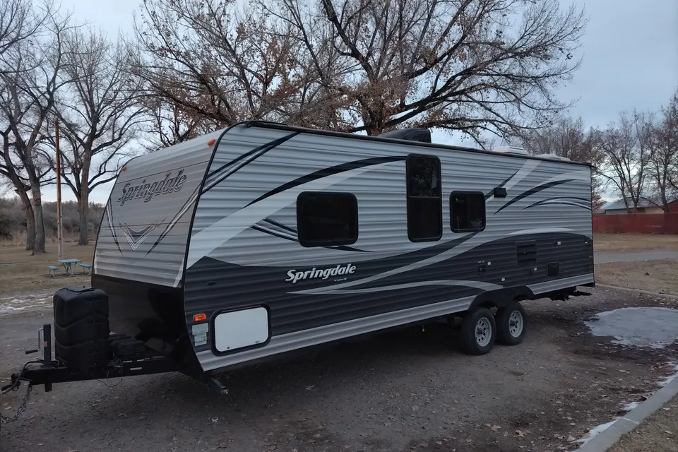
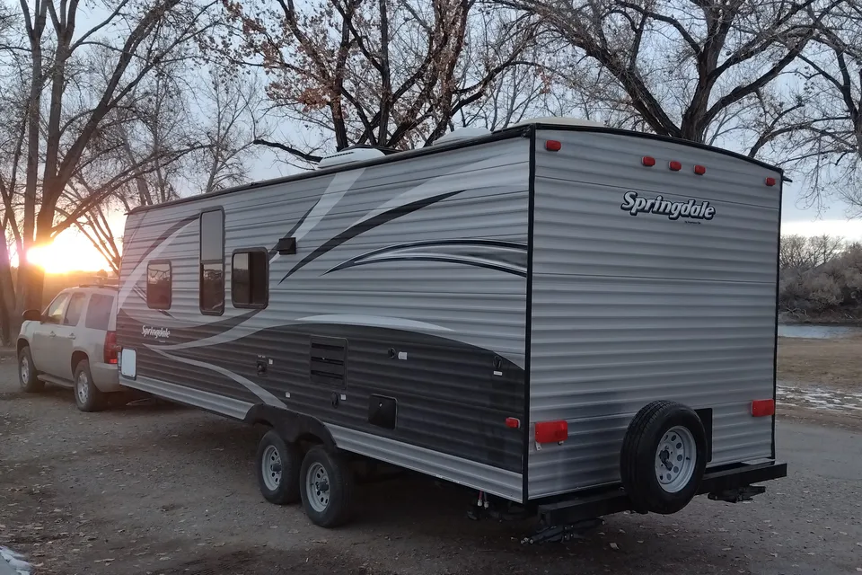
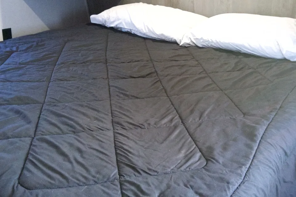
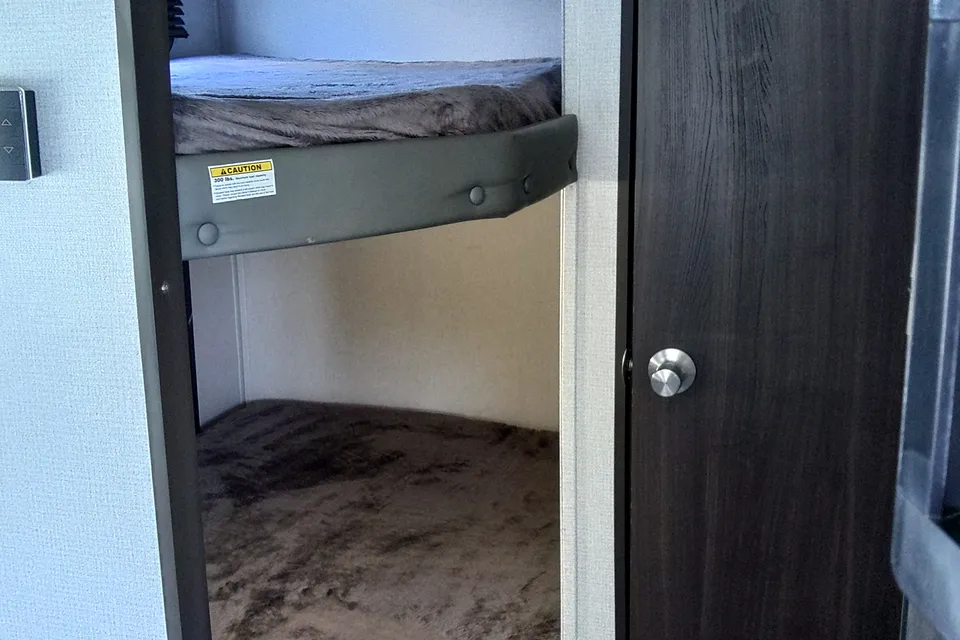
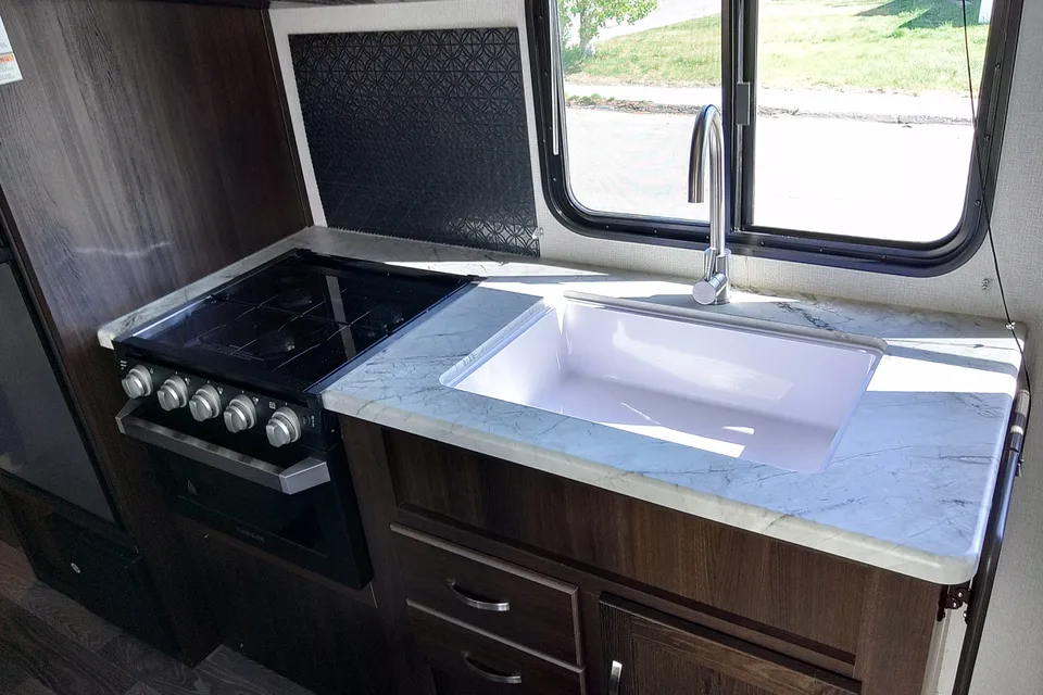
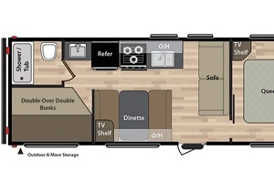
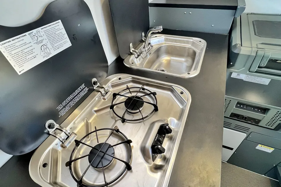
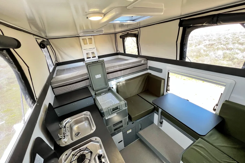
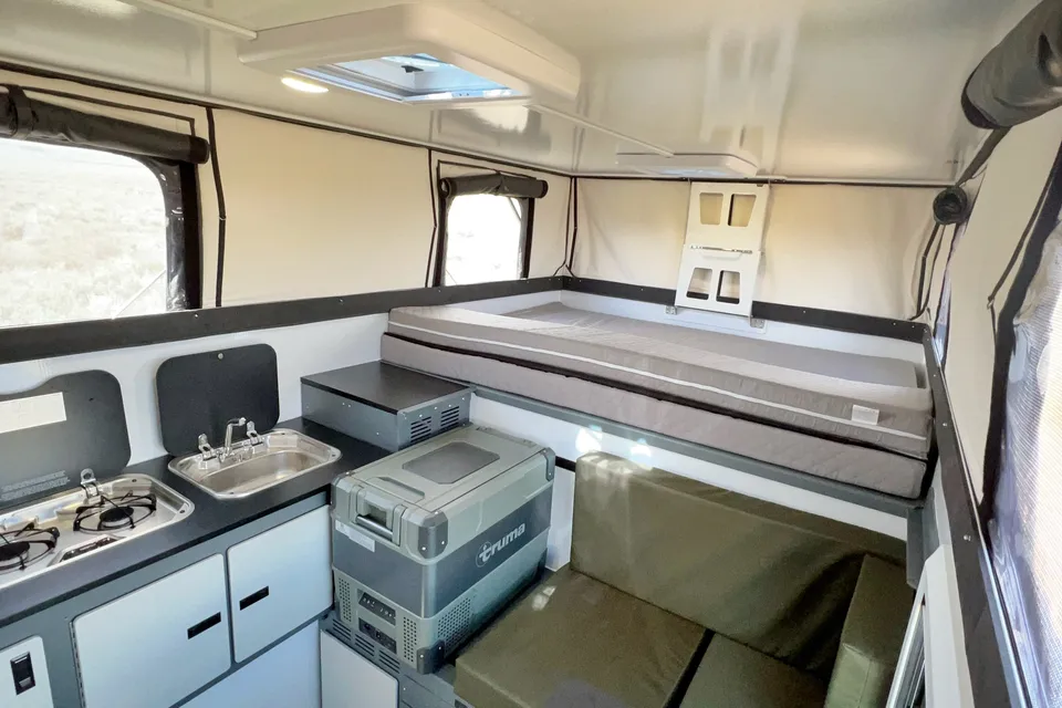
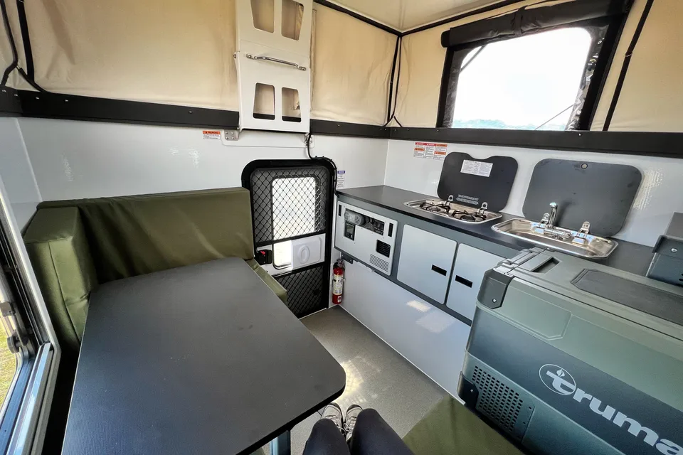
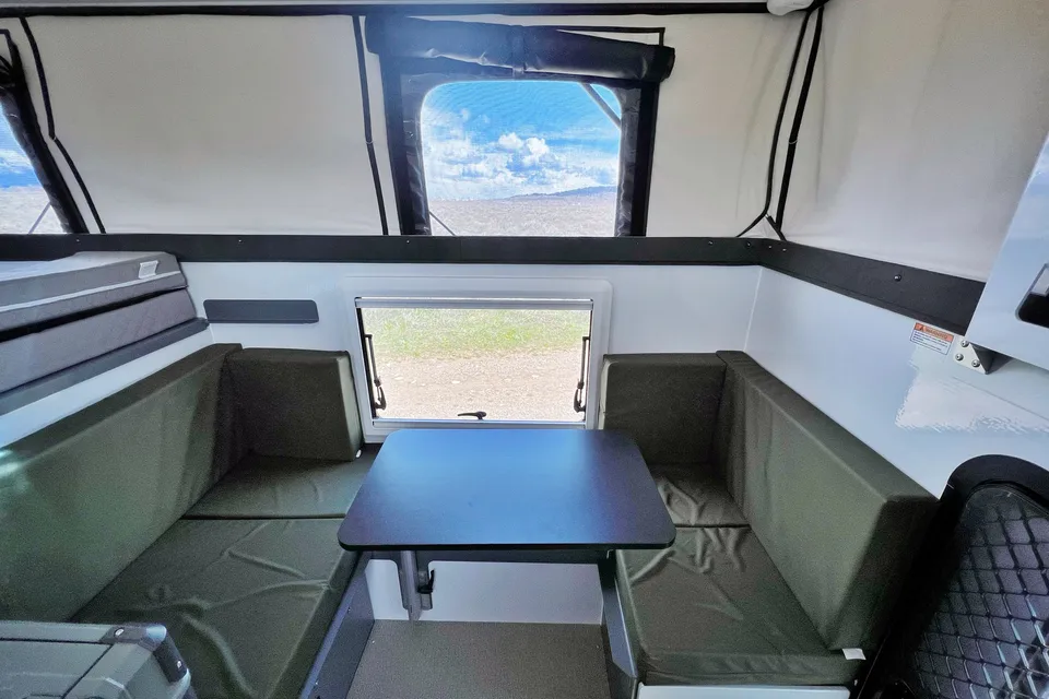
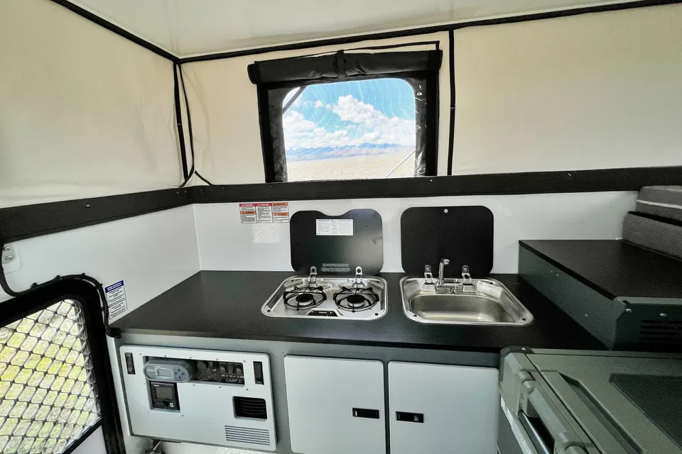
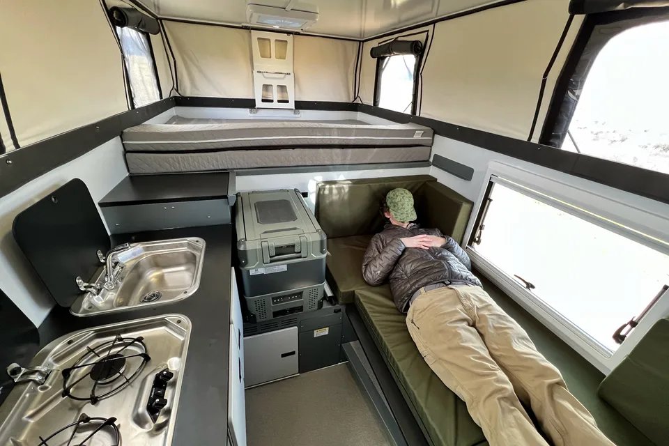
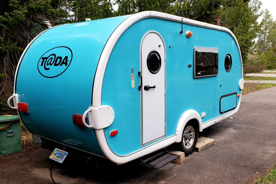
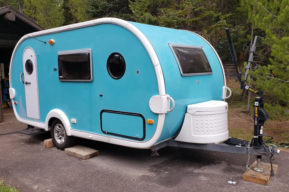
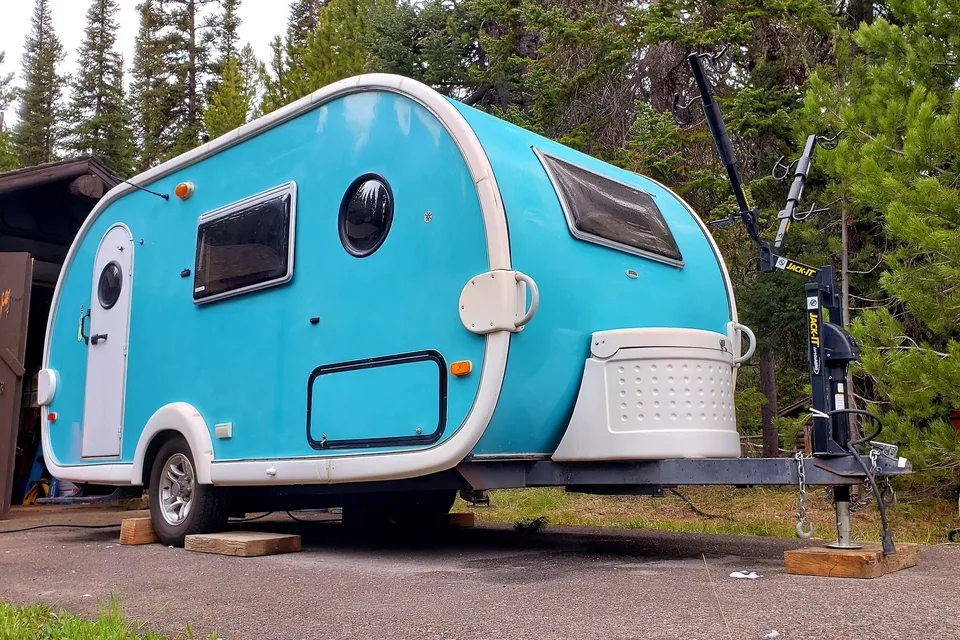
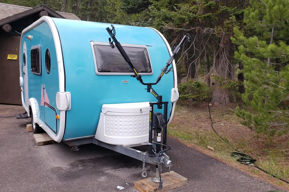
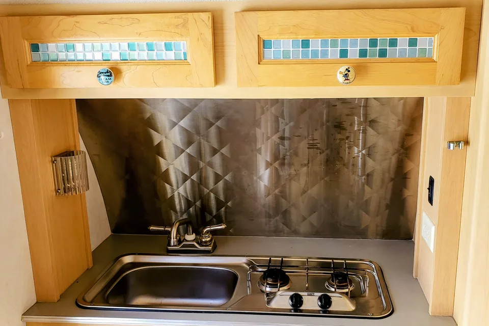
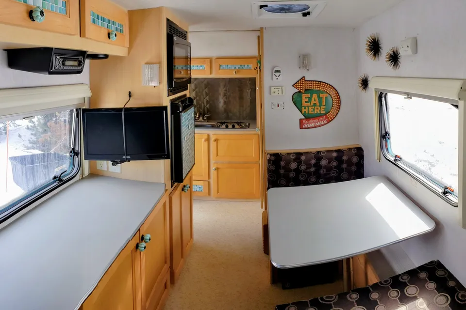
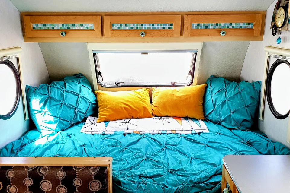
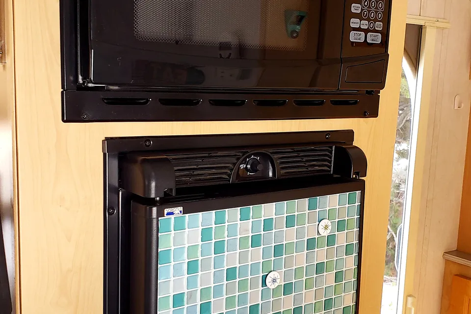
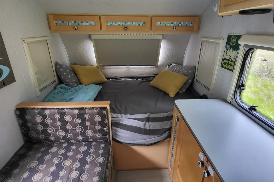
Featured RV rentals for Sinks Canyon State Park
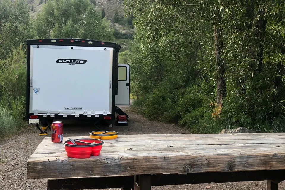
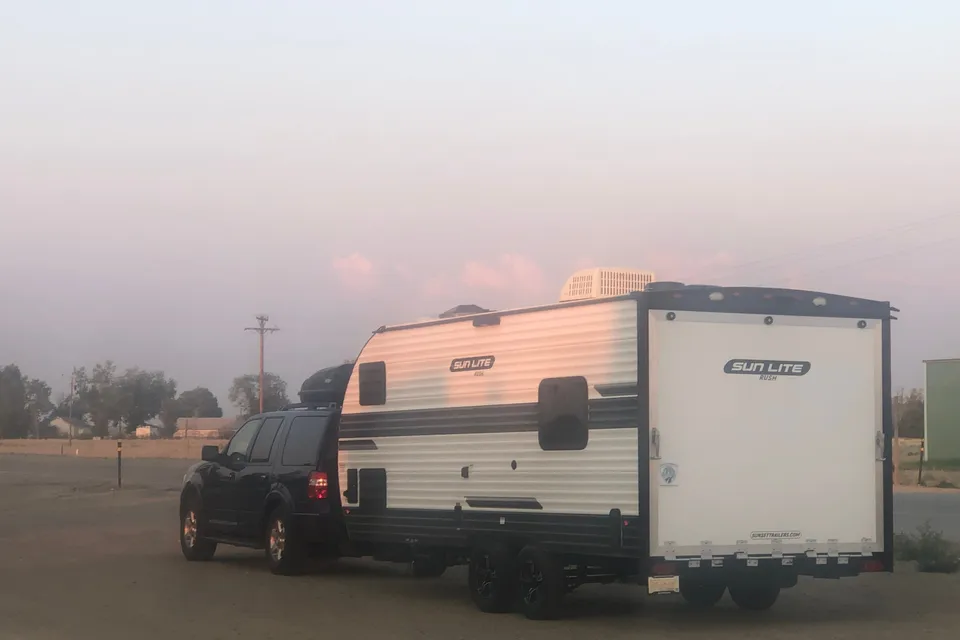
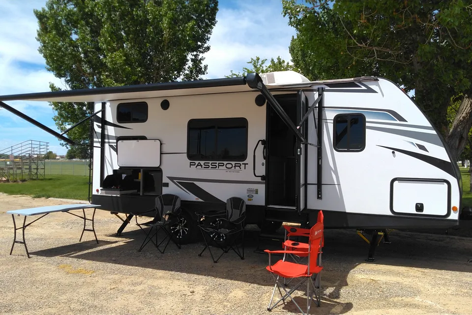
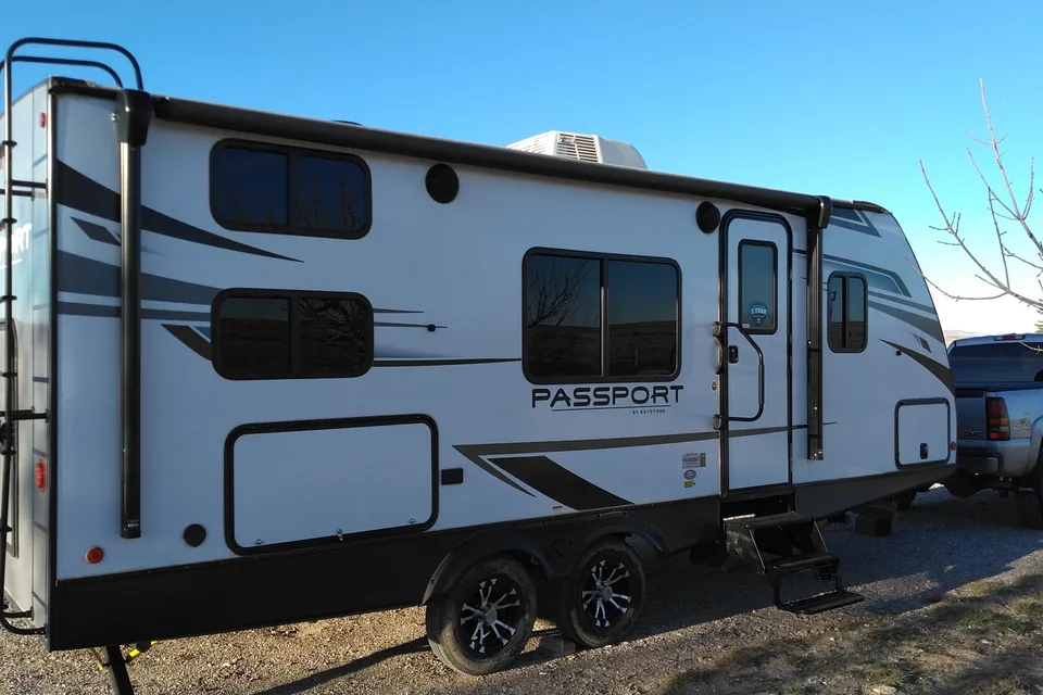

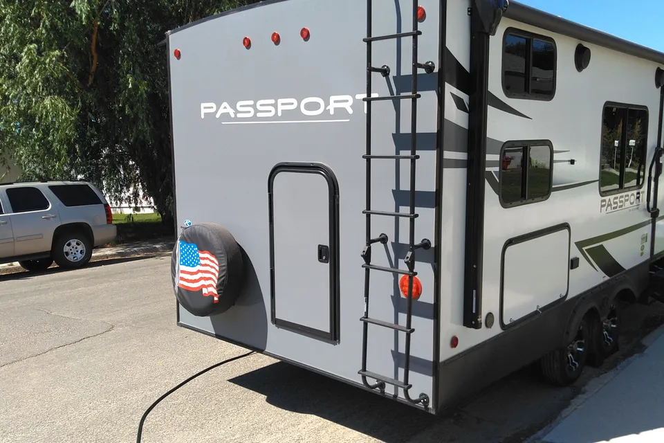
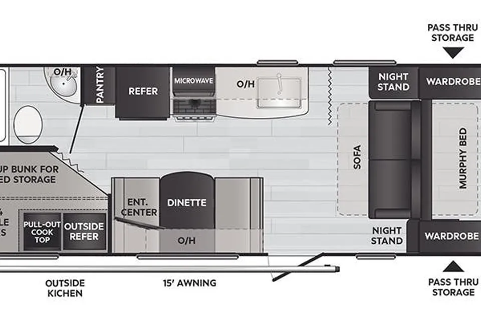
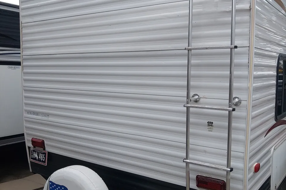
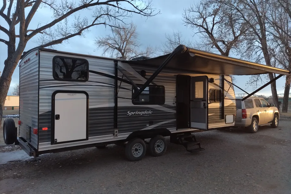
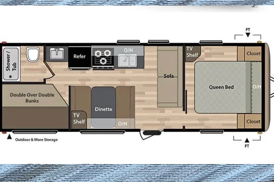
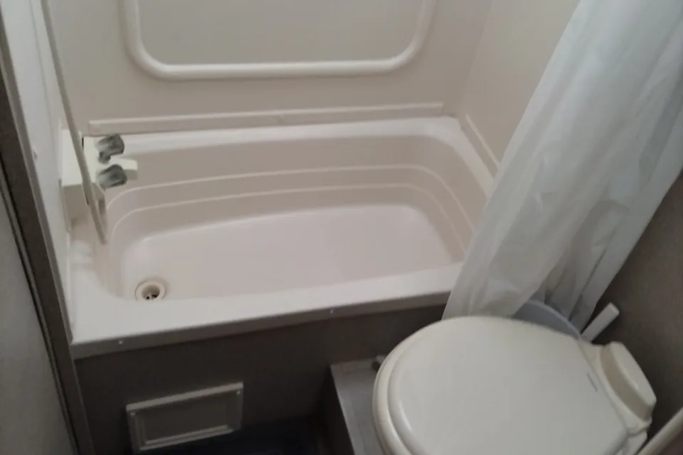
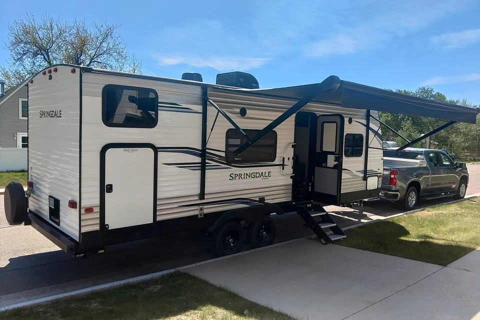

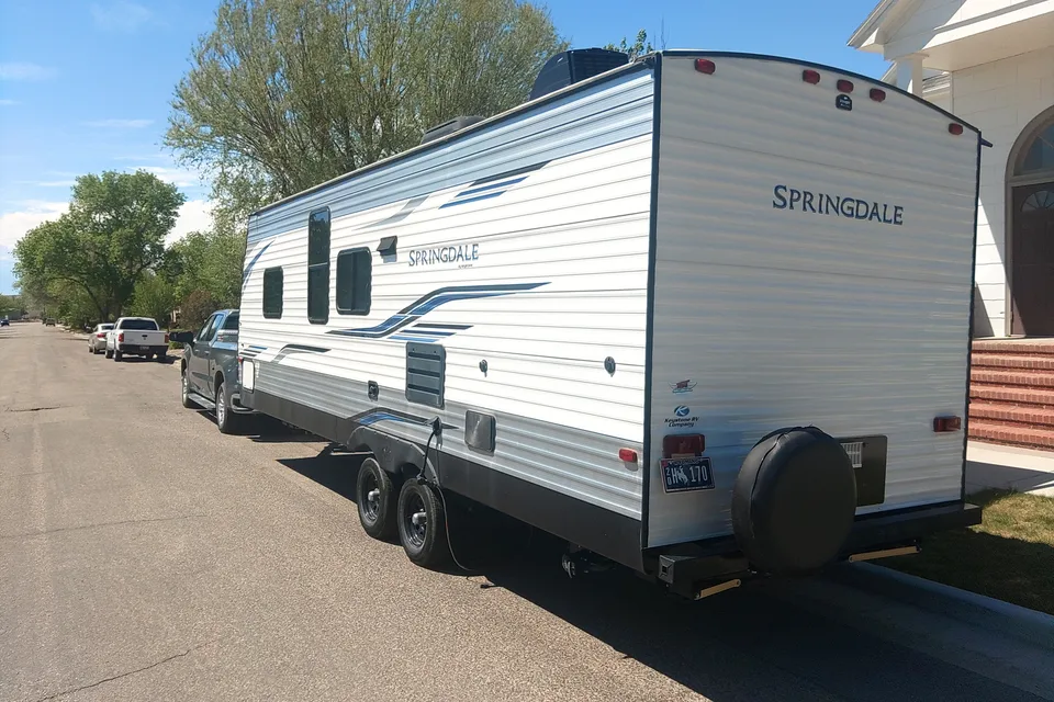
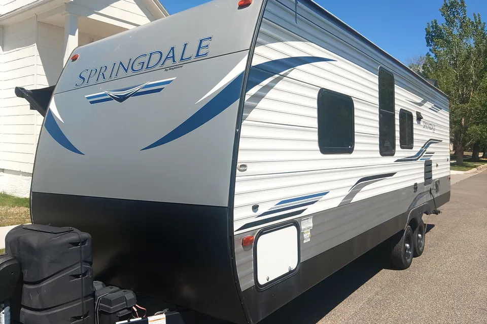
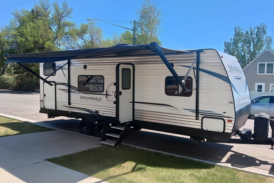

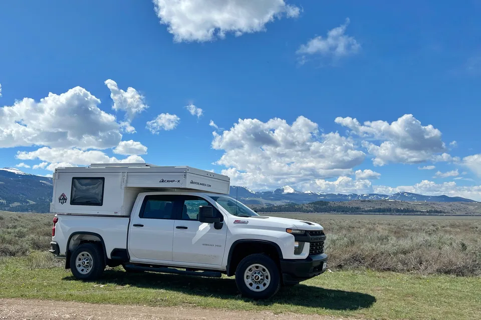
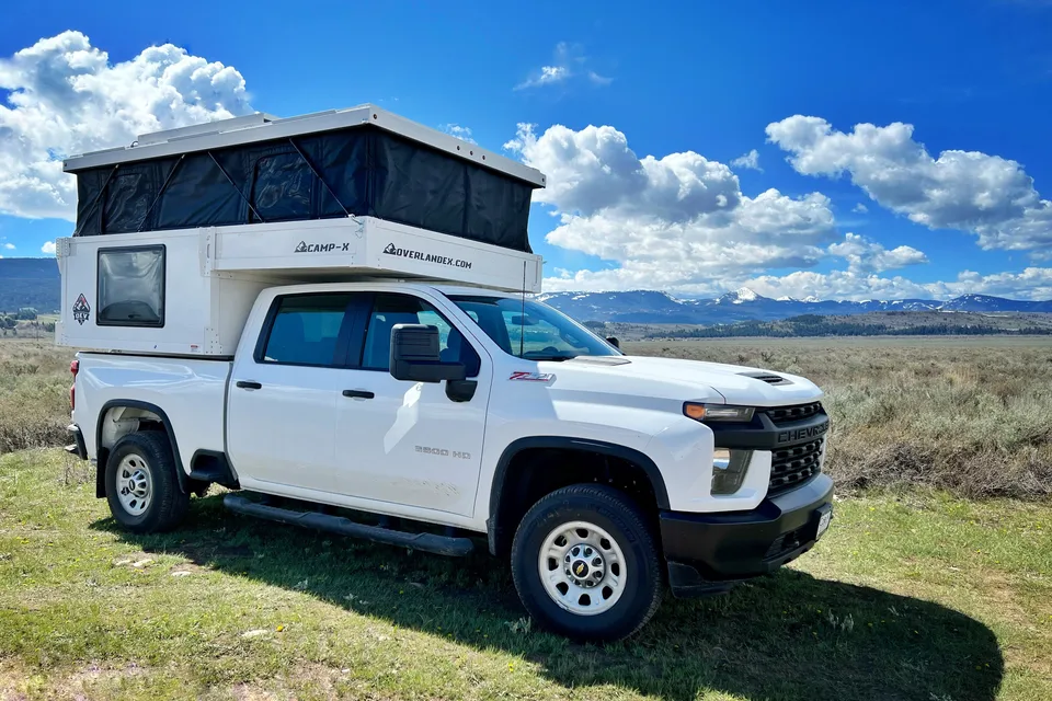
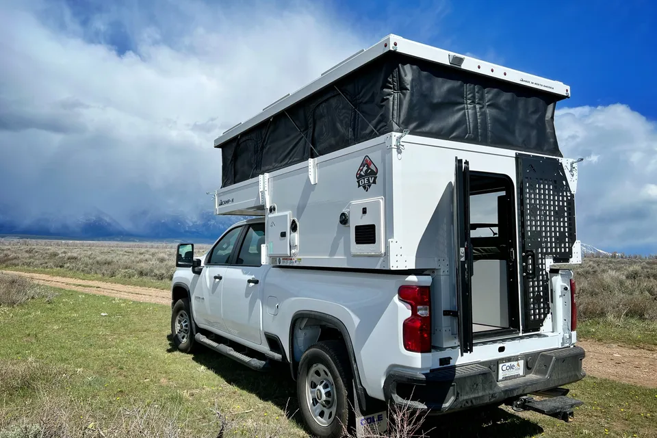
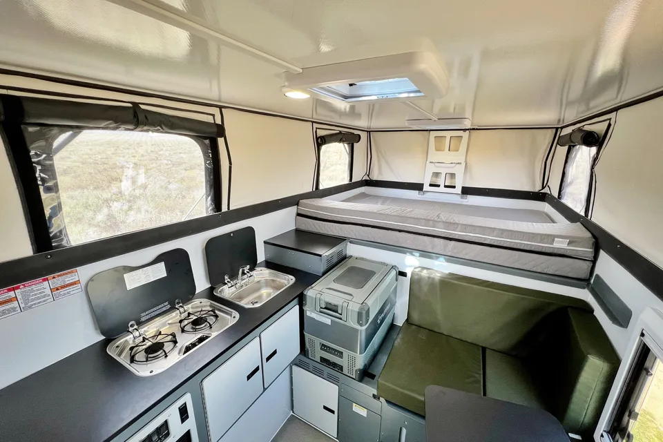
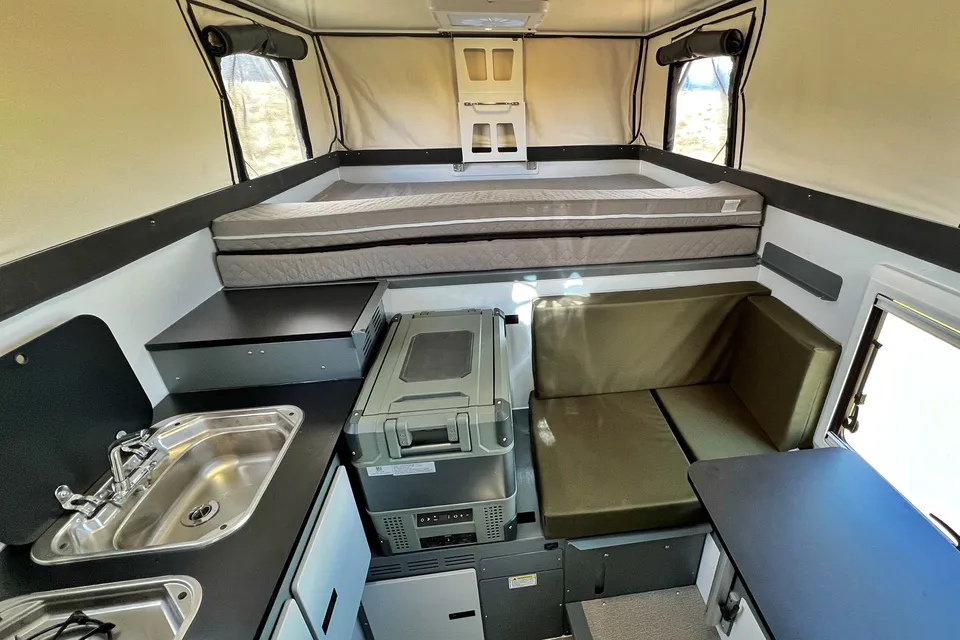
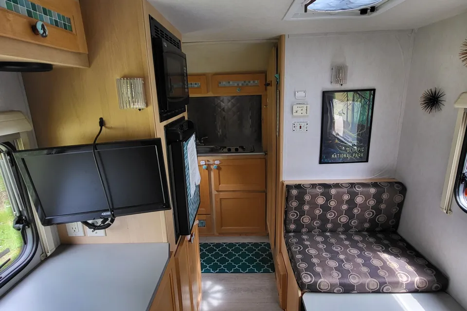
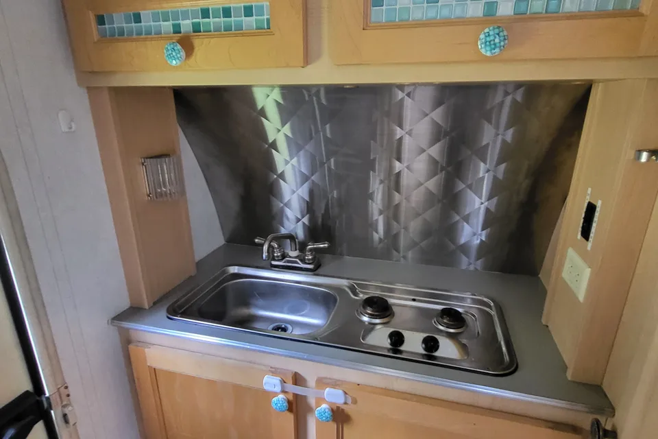
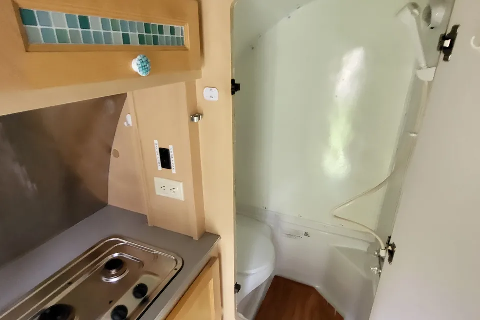
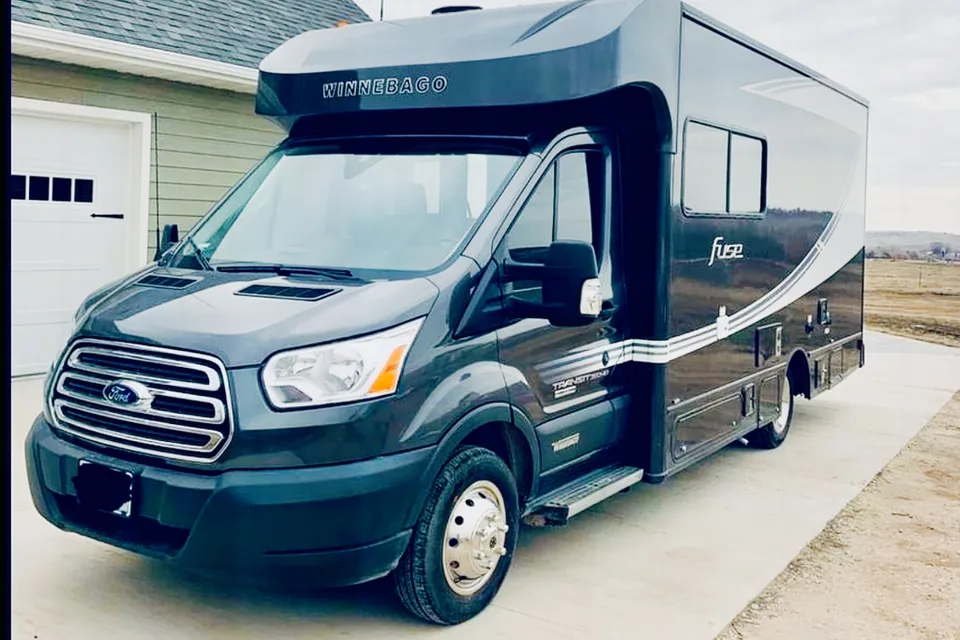
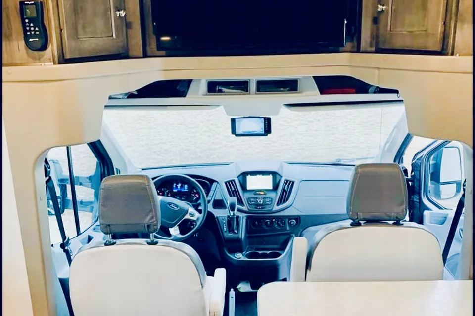
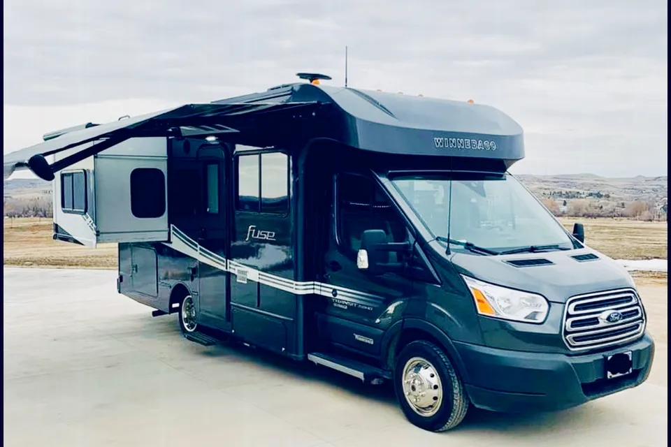
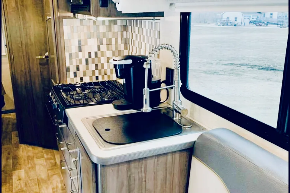
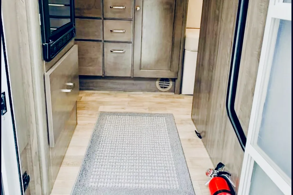
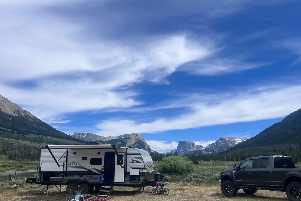
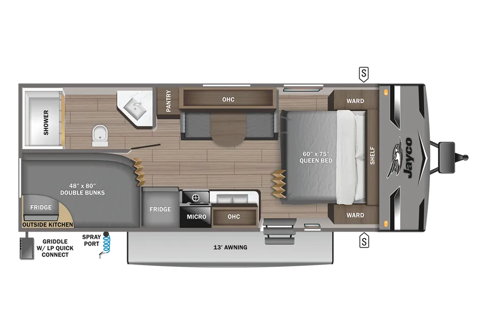
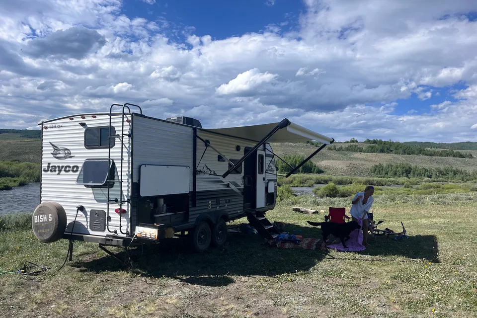
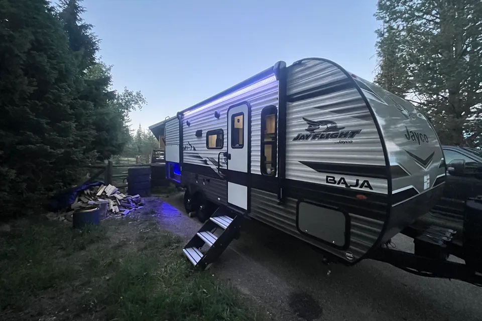
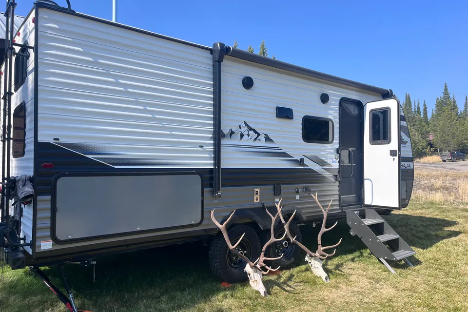
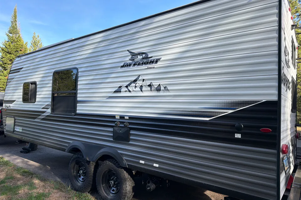
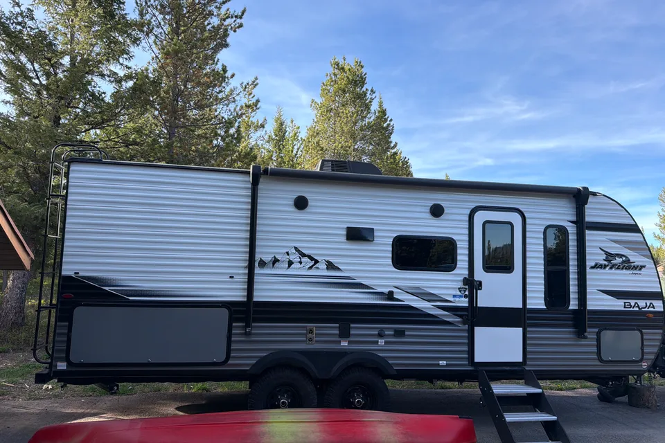
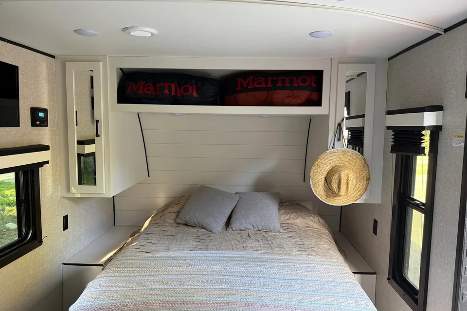
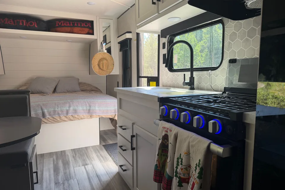
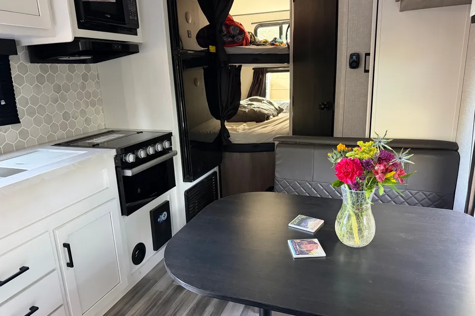
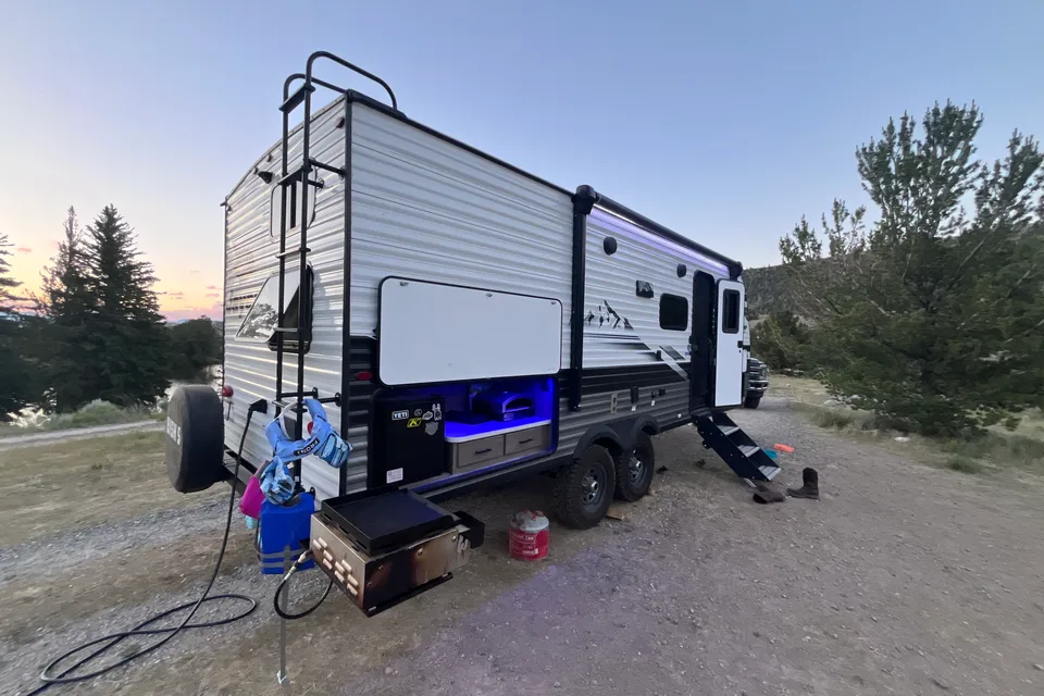
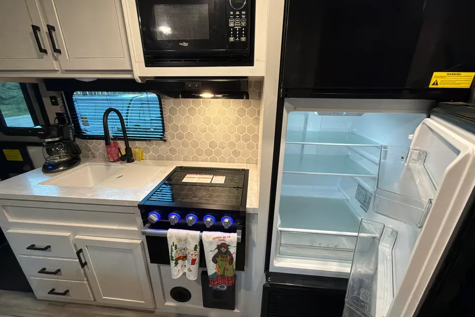
 Instant Book
Best time to visit Sinks Canyon State Park
Late June through early September is the prime window, with warm days, open canyon roads, and full visitor services. The on-site visitor center operates from May through September, so spring and early fall are good shoulder seasons for climbers and anglers who want fewer crowds. Expect cool nights year-round at canyon elevation, and plan for snow and limited services from late fall through early spring. July and August are peak months for hiking the Popo Agie Falls trail and accessing high-country trailheads above the park.
Cold and snowy; canyon road open but icy, most campgrounds closed
Winter conditions; campgrounds closed, day-use only
Heavy spring snow possible; campgrounds closed, day-use only
Wet shoulder season; campgrounds closed early in month, mud and lingering snow
Visitor center opens; rivers run high with snowmelt
Warm and lively; peak waterfalls and wildflowers
Peak season; reserve campsites well in advance
Hot, dry days with afternoon thunderstorms possible
Cool nights; visitor center closes at end of month
Hard freezes begin; many campground services wind down
Campgrounds closed, day-use only
Snow and ice; campgrounds closed, day-use only
Things to do at Sinks Canyon State Park
- The Sinks and the Rise EasyRV parking available
The Sinks is the canyon's signature attraction, where the Middle Fork of the Popo Agie River vanishes into a limestone cavern and reappears at the Rise, a deep pool filled with large trout that visitors can watch and feed but not fish. Both viewpoints are short walks from paved parking suitable for RVs near the visitor center. blm.gov/visit/sinks-canyon
- Popo Agie Falls Trail ModerateRV parking available
This roughly 2.5-mile hike climbs from a trailhead above the state park to a series of cascades on the Middle Fork of the Popo Agie. The route gains steady elevation through pine forest and is the most popular hike in the canyon. fs.usda.gov/detail/shoshone/learning/nature-science/?cid=stelprdb5191040
- Rock climbing on Bighorn dolomite StrenuousRV parking available
Sinks Canyon is an internationally known sport-climbing destination, with sheer dolomite walls that face south and stay warm enough for climbing nearly year-round. Three short hiking trails lead from the canyon road to the base of the cliffs. blm.gov/visit/sinks-canyon
- Trout fishing on the Middle ForkRV parking available
The Middle Fork of the Popo Agie River runs the length of the canyon and supports a healthy rainbow trout fishery. Anglers can fish along the state park stretch and adjacent Forest Service lands; fishing is not permitted at the Rise viewing pool. blm.gov/visit/sinks-canyon
- Wildlife viewing EasyRV parking available
The canyon is a reliable spot for spotting mule deer, bighorn sheep, and wintering moose and elk, and raptors nest on the cliff walls. Pullouts along Highway 131 inside the park make for safe roadside viewing from an RV. blm.gov/visit/sinks-canyon
- Visitor center and interpretive exhibits EasyRV parking available
The Sinks Canyon Visitor Center sits along the canyon road and is the main interpretive stop for the park. It is open seasonally from May through September and has paved parking that accommodates RVs. blm.gov/visit/sinks-canyon
- Loop Road scenic drive
From the upper end of the canyon, the Loop Road continues into the Shoshone National Forest past mountain meadows, lakes, and overlooks before joining Highway 28 at South Pass. The upper section is gravel and best driven in a tow vehicle rather than a large motorhome. fs.usda.gov/detail/shoshone/learning/nature-science/?cid=stelprdb5191040
RV delivery to a campground, made simple
Skip the pickup. Skip the towing. Get an RV delivered and set up at your campsite so you can arrive, unpack, and start your trip stress-free.
Choose your perfect RV
Browse RVs that offer delivery to your site and book the one that fits your budget and adventure style.
Lock in your campsite
Reserve your campsite with the hookups and amenities you need. We’ll help you find RVs that meet site requirements.
Arrive and relax
Your host delivers and sets up the RV before you get there. Just show up and start enjoying your trip.
Find the perfect RV for these nearby campgrounds
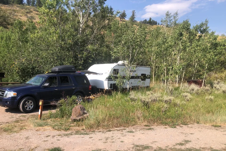
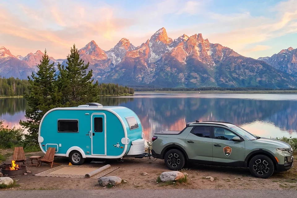
RV Rentals Sinks Canyon State Park
Sinks Canyon State Park, WY, United States
How to get to Sinks Canyon State Park
The park is reached by taking State Highway 131 about seven miles southwest of Lander, Wyoming, which sits at the junction of U.S. Highways 20 and 287 in west-central Wyoming. Riverton Regional Airport, roughly 30 miles northeast, is the closest commercial option for fly-and-rent travelers, while Casper and Jackson are larger hubs within a half-day drive. RV drivers should plan for a steady mountain grade as Highway 131 climbs into the canyon and continues onto the Loop Road toward South Pass, with tight curves, narrow shoulders, and seasonal snow at higher elevations. There are no tunnels on the approach, but trailers face spur-length limits at most nearby Forest Service campgrounds.
RVezy vs. Traditional RV rental
RVezy rentals
- Book directly from local RV owners
- Choose the exact RV you want
- Delivery to your campsite, home, or destination
- More variety: trailers, motorhomes, and campers
Traditional RV rental
- Limited fleet from a rental company
- Exact RV not guaranteed
- Pickup only at retail locations
- Fewer RV types and less availability