Sonoita Creek State Natural Area - United States
Discover the RVezy RV rental marketplace
About Sonoita Creek State Natural Area
RV quick facts for Sonoita Creek State Natural Area
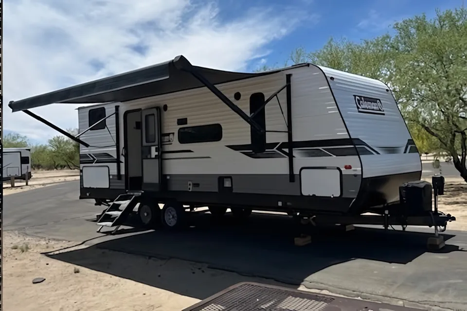
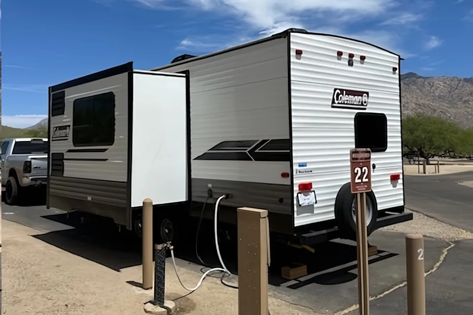
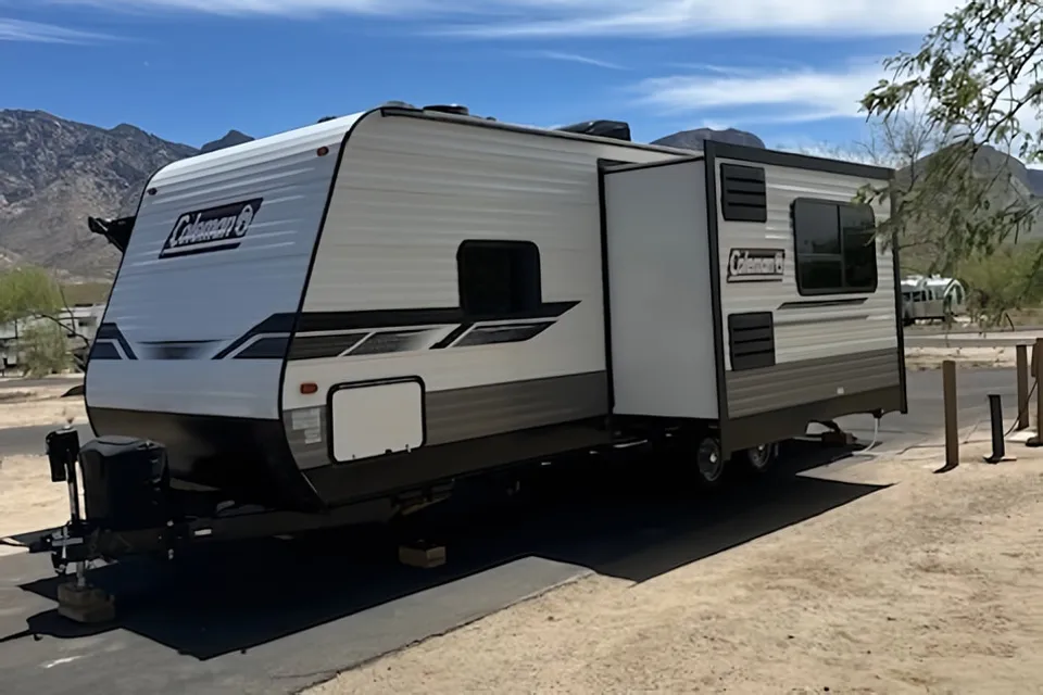
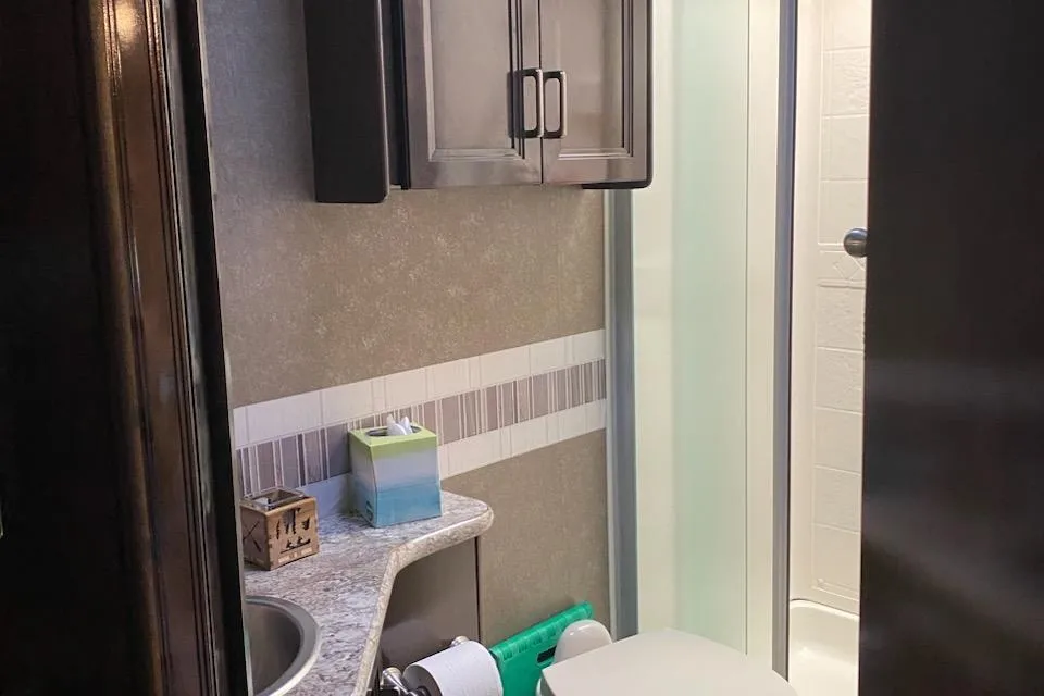
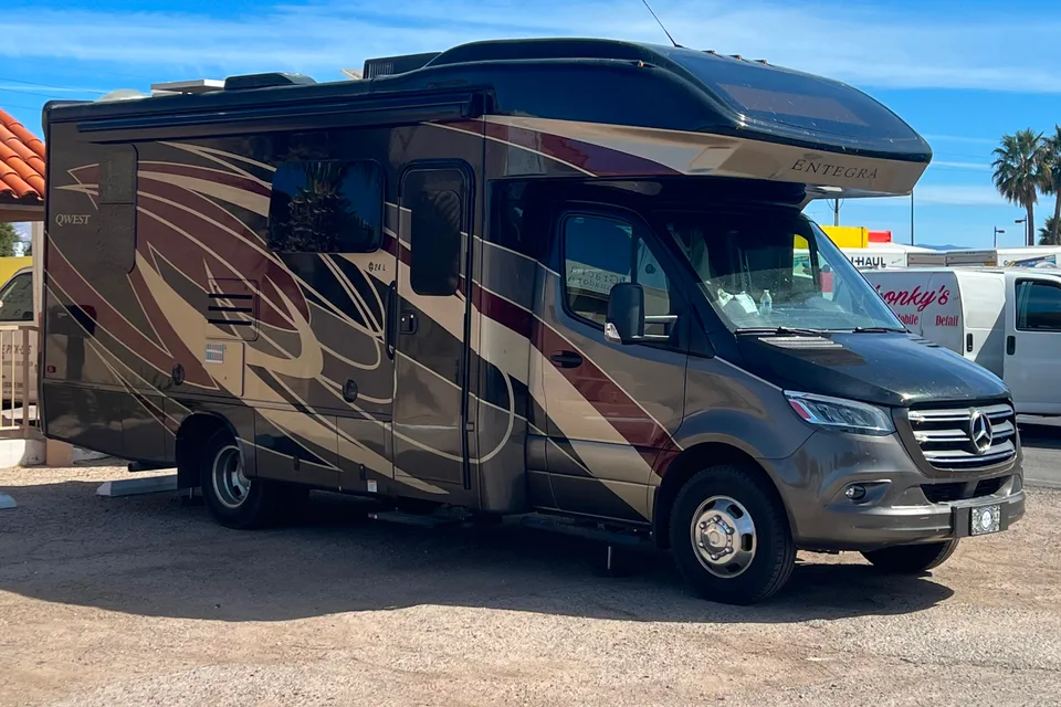
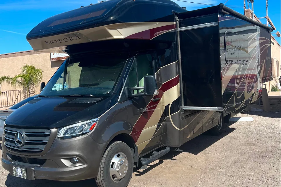
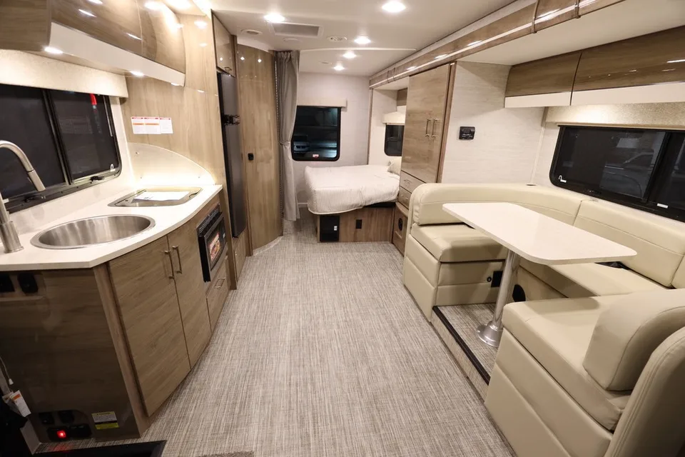
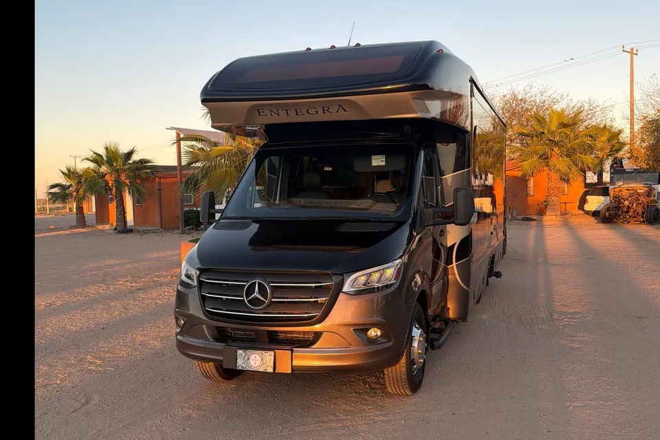
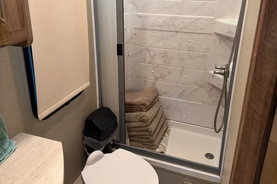
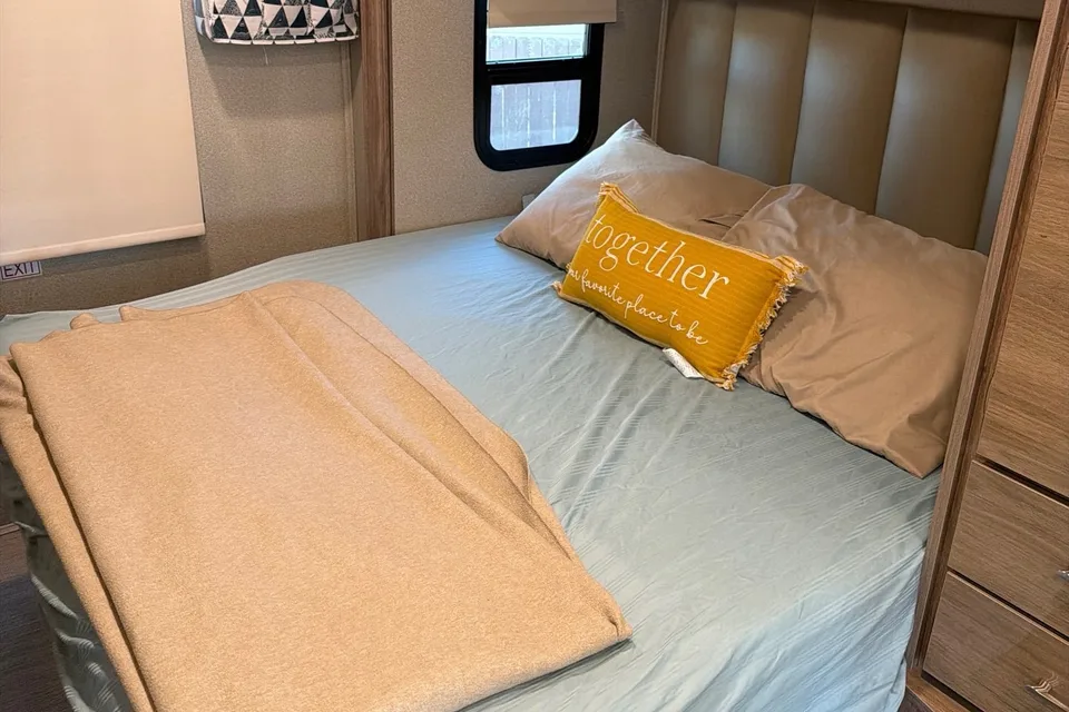
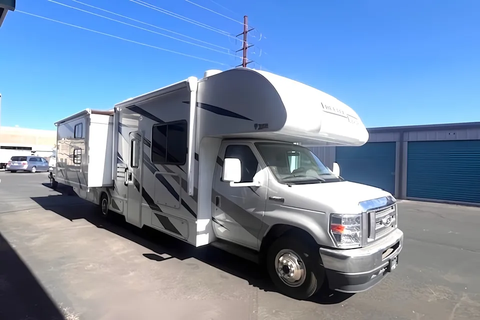
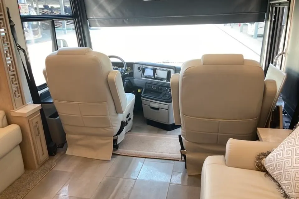
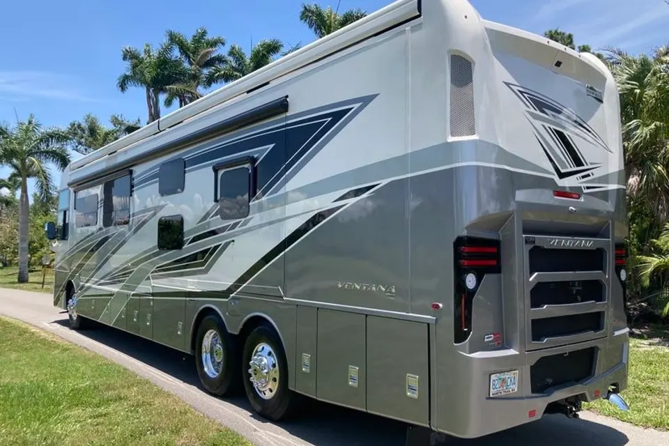
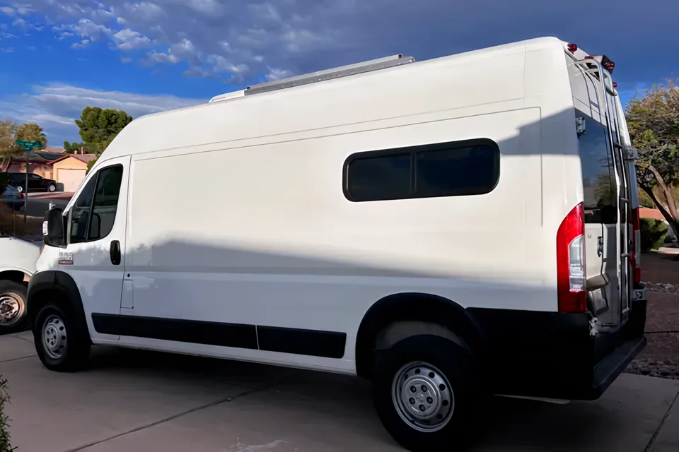
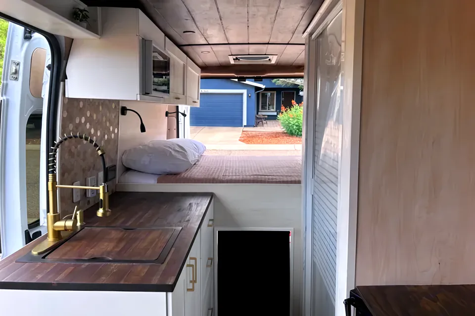
Featured RV rentals for Sonoita Creek State Natural Area
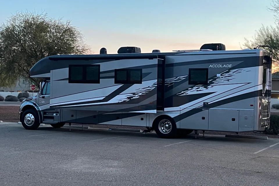
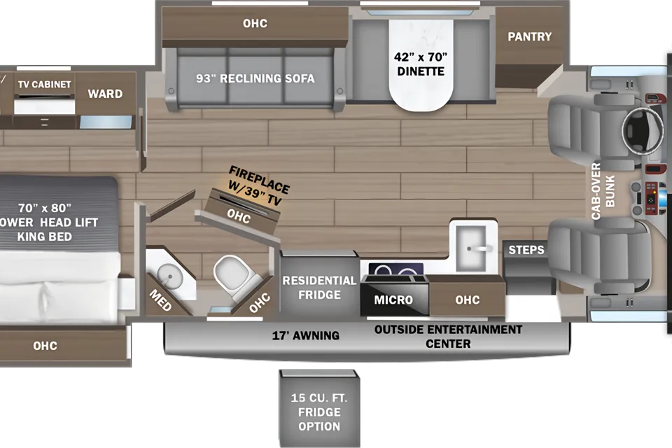
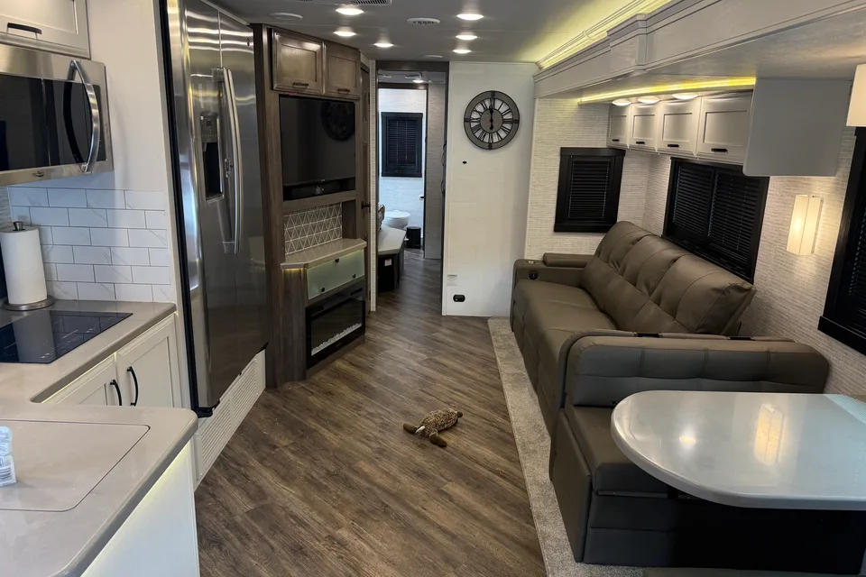
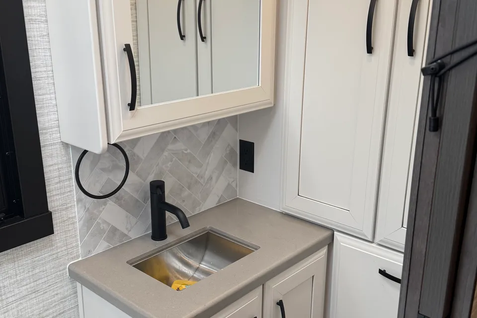
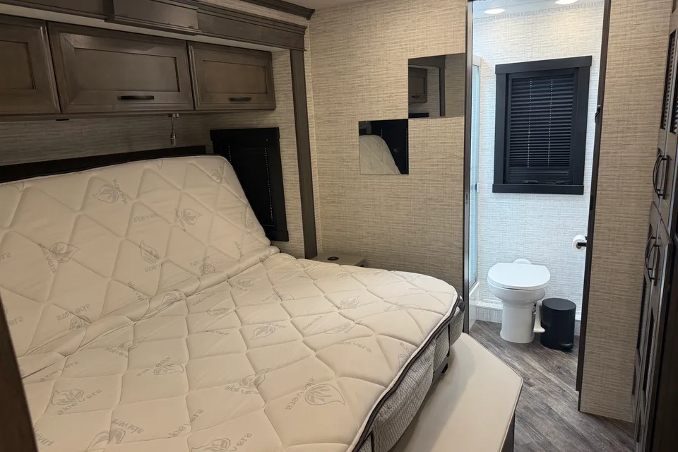
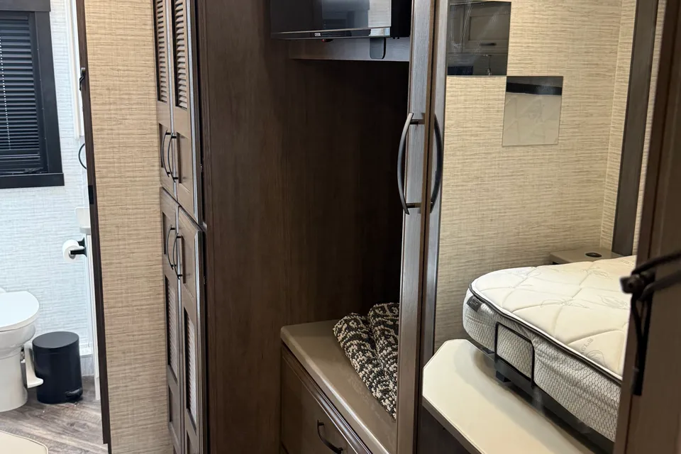
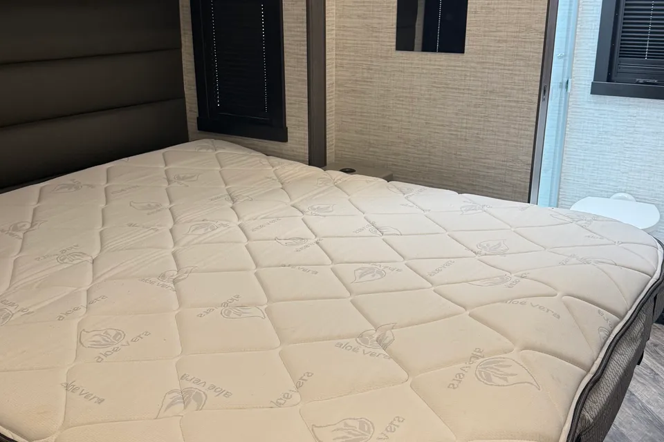
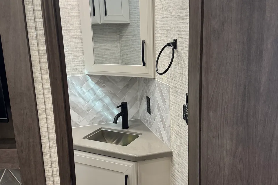
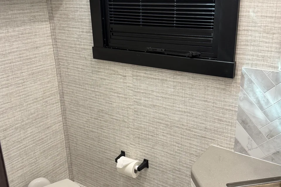
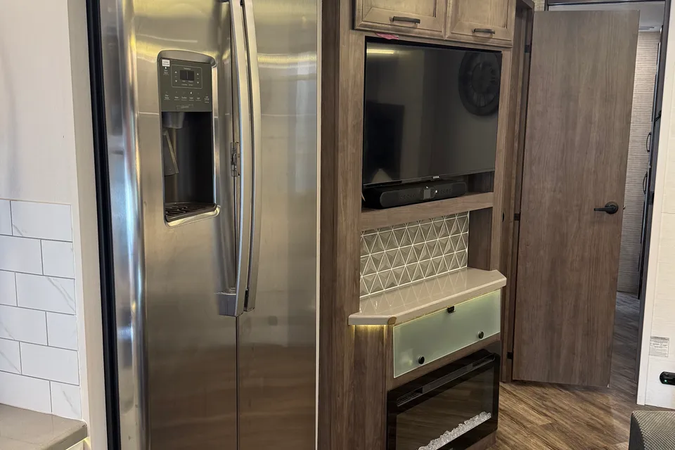
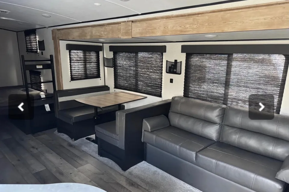
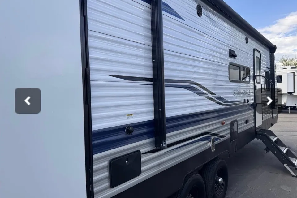
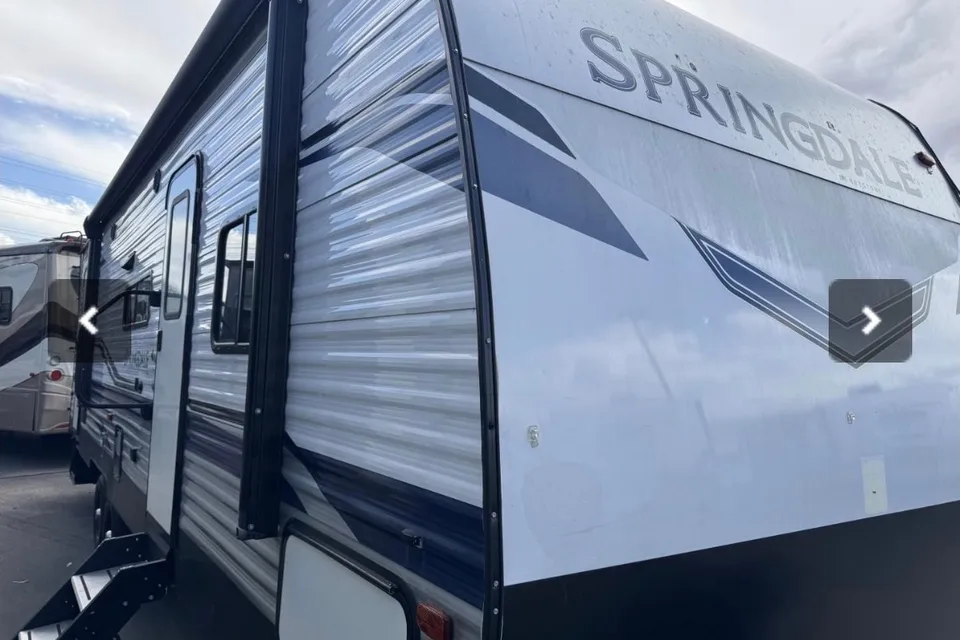
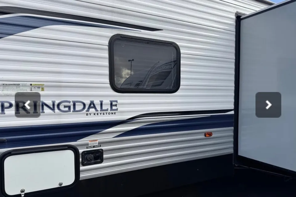
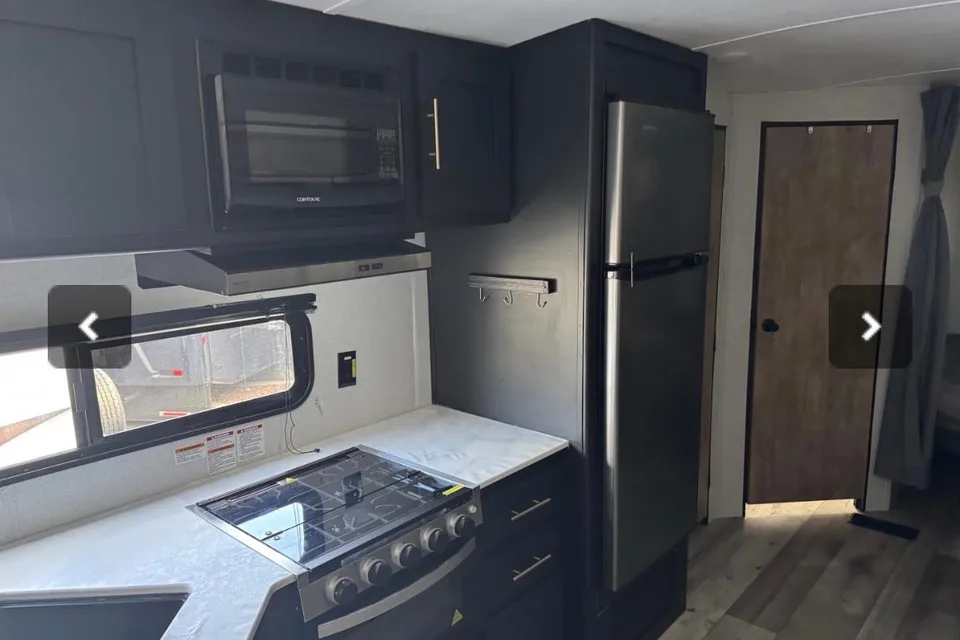
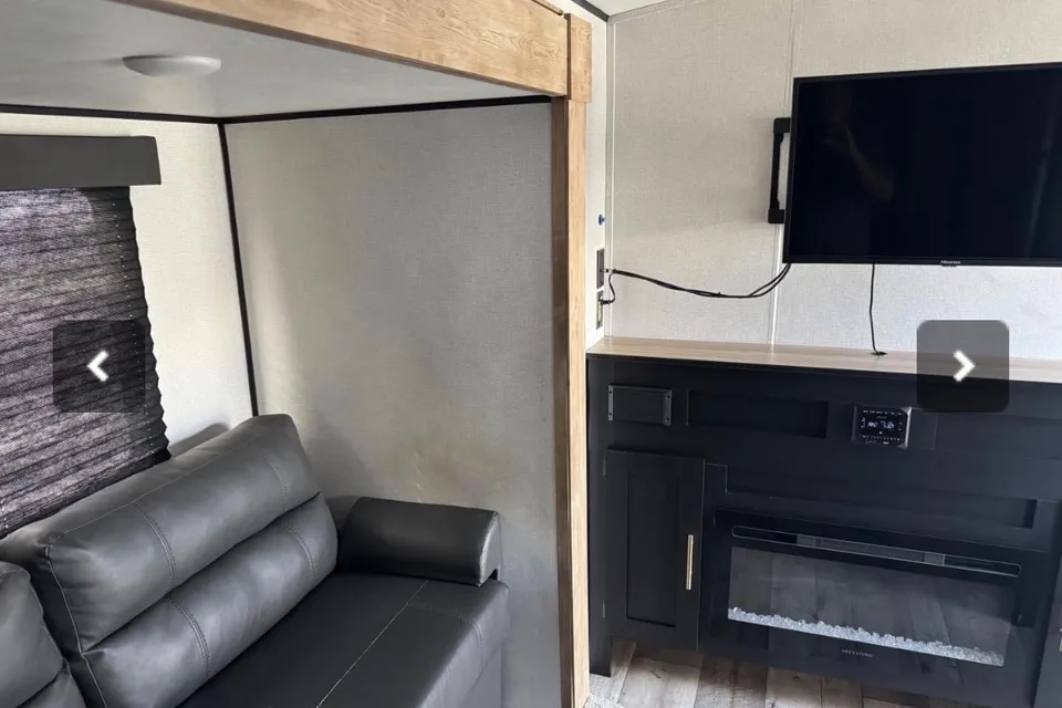
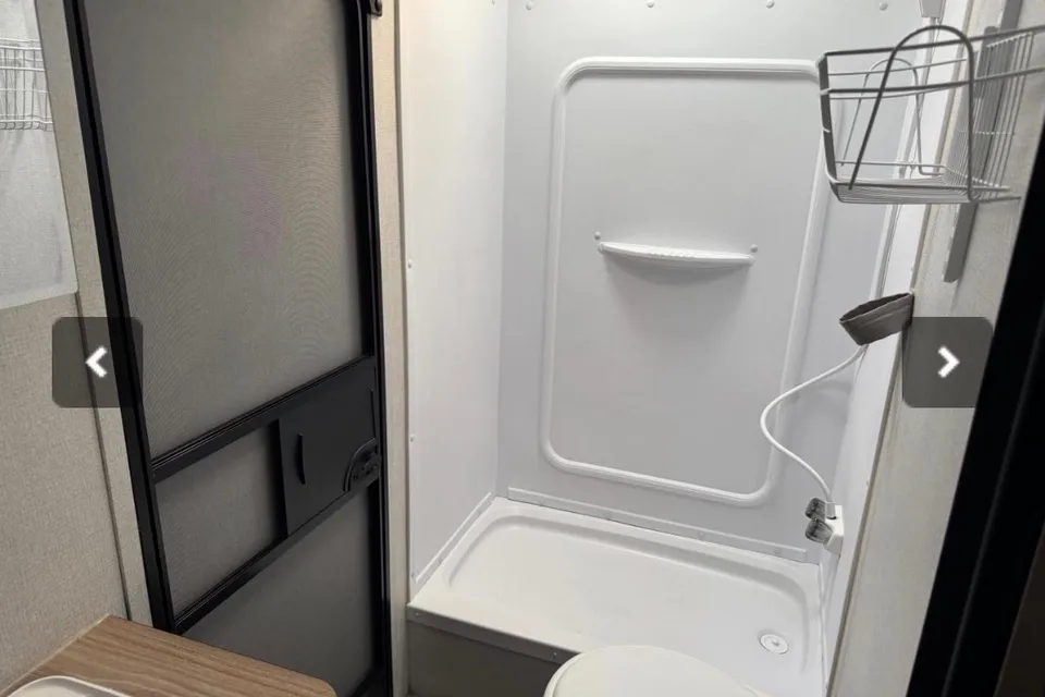
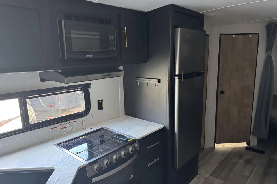
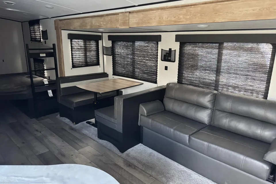
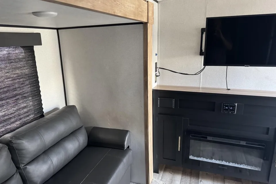
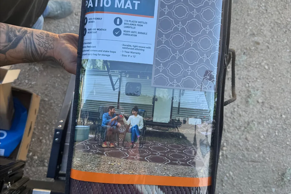

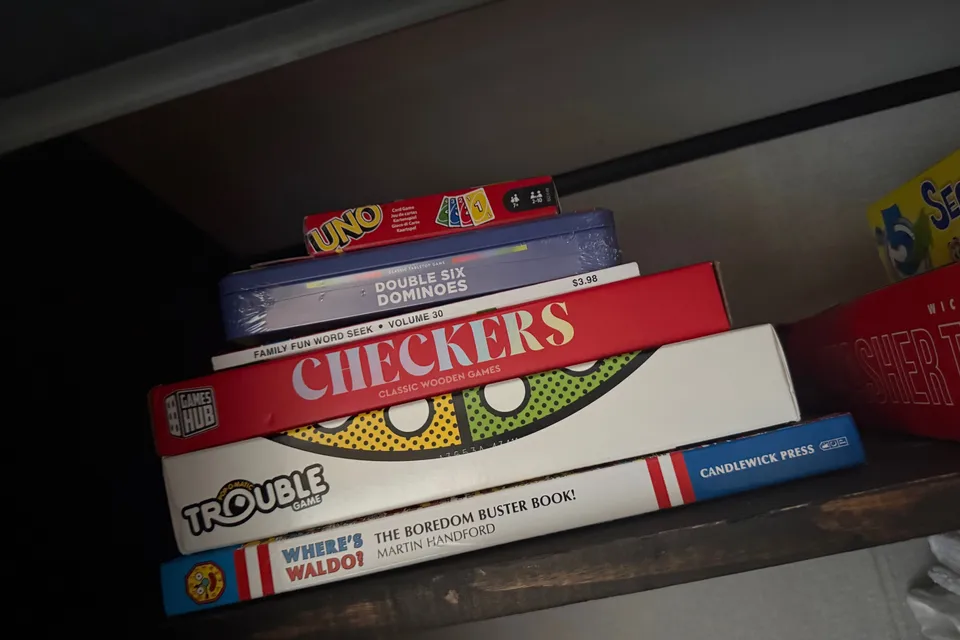
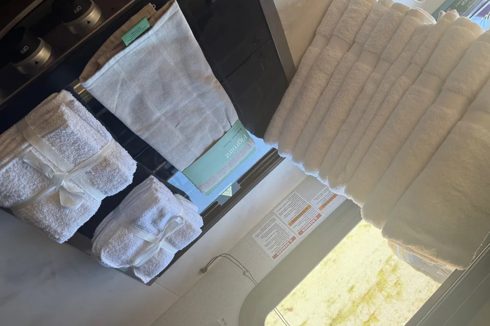
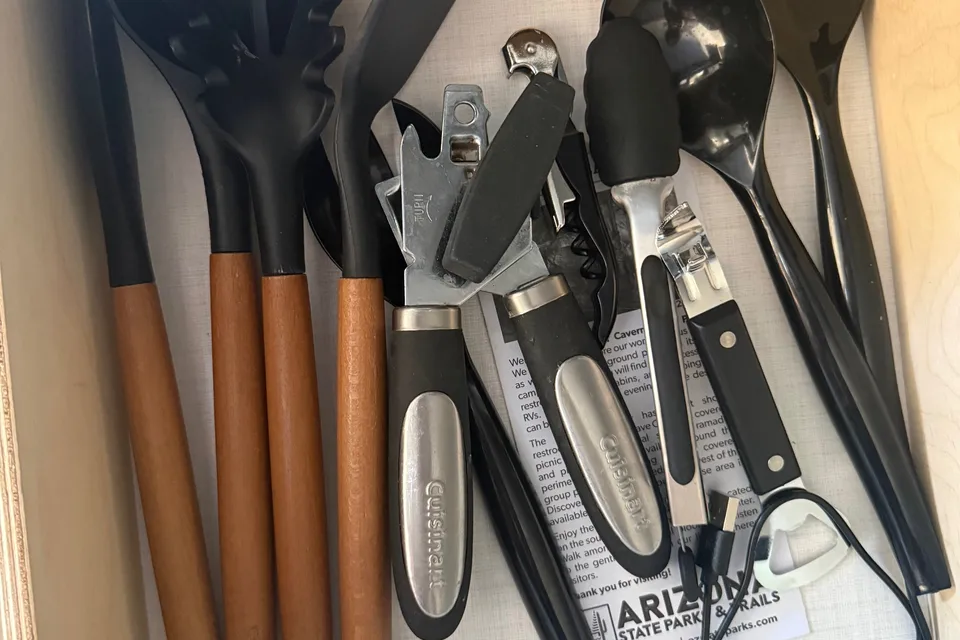
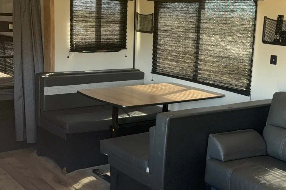
 Instant Book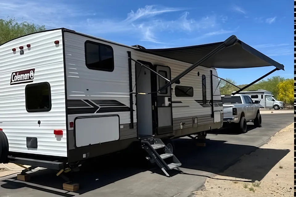
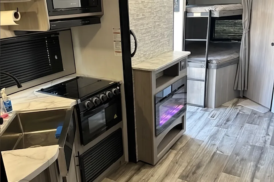
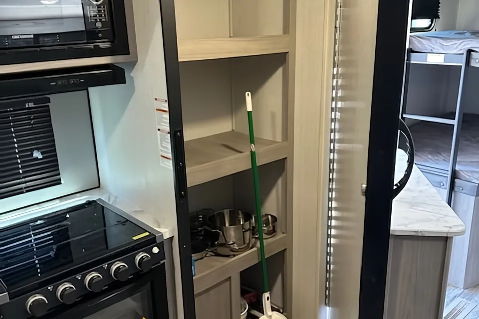
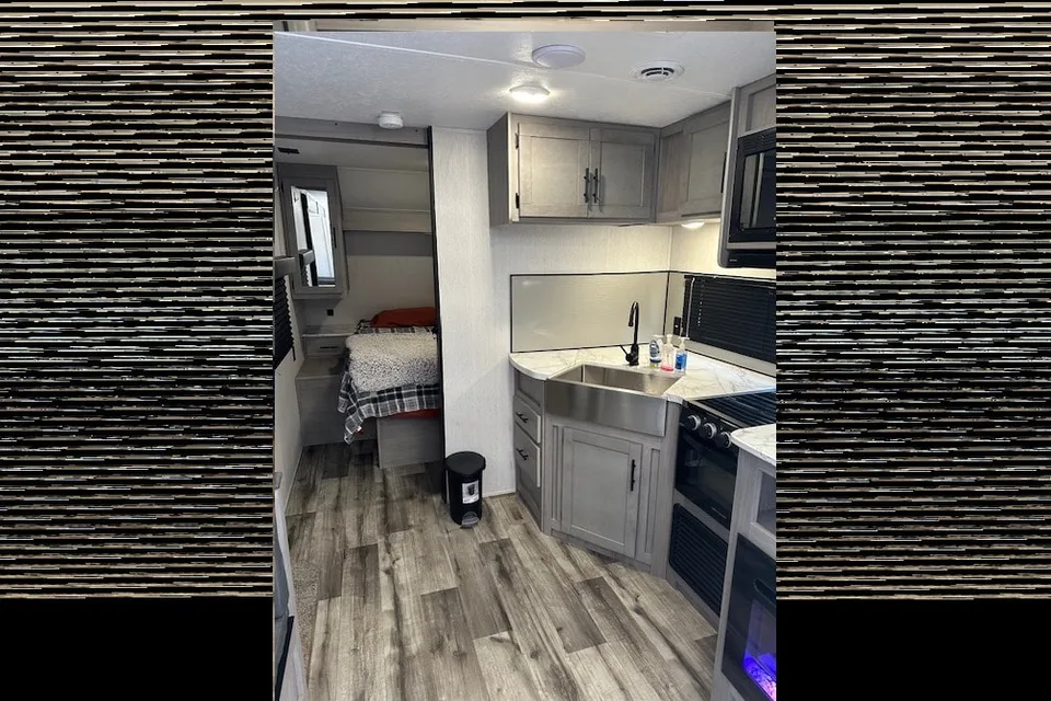
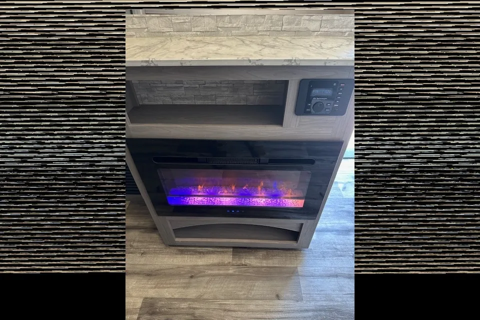
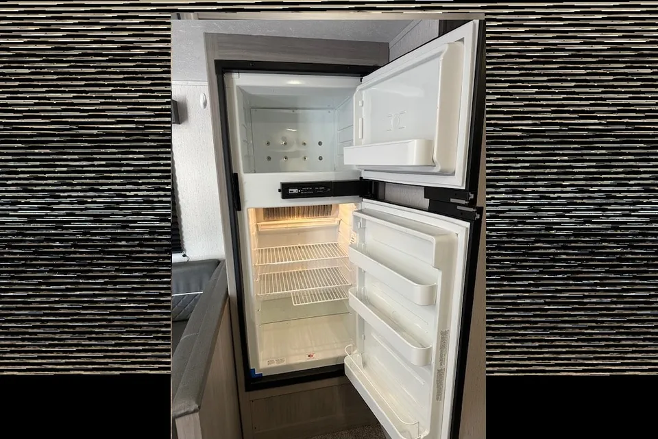
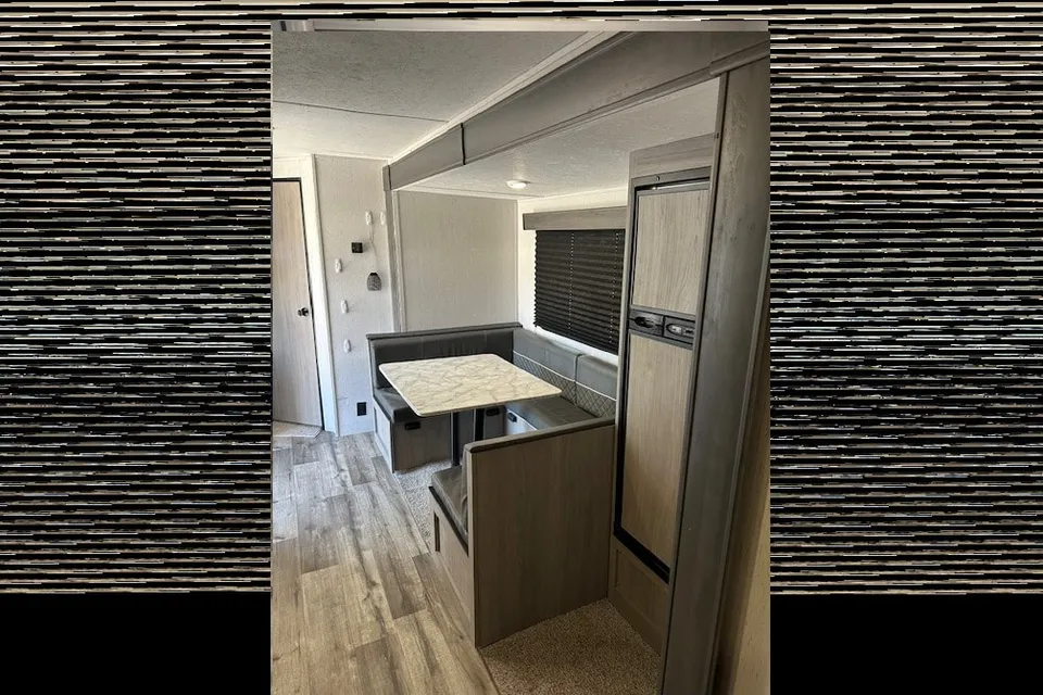
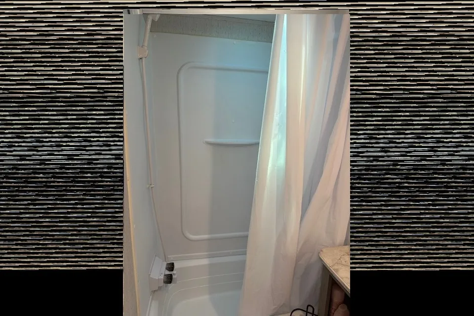
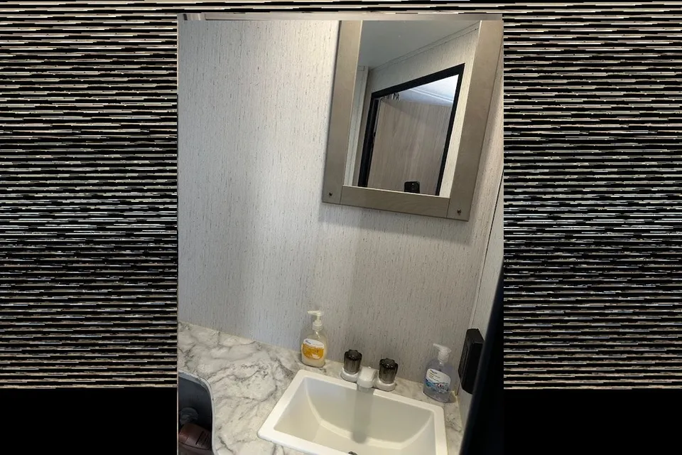
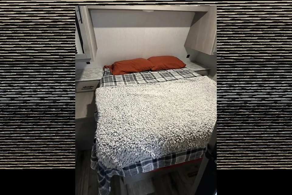
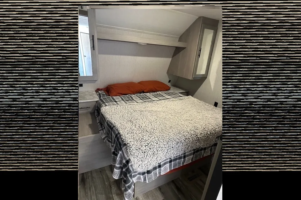
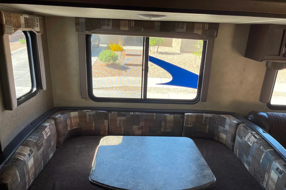
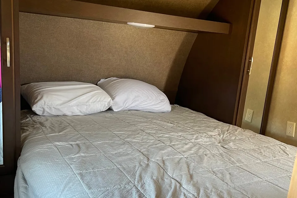
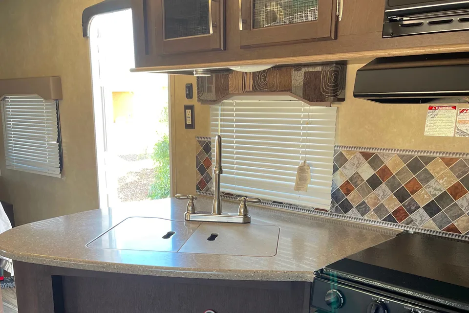
 Instant Book
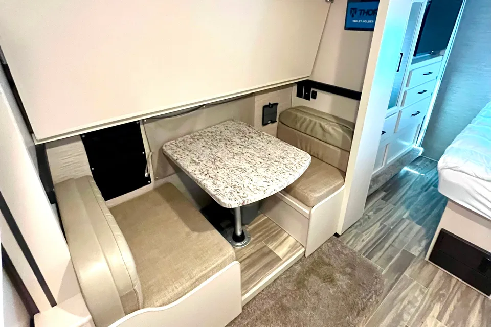
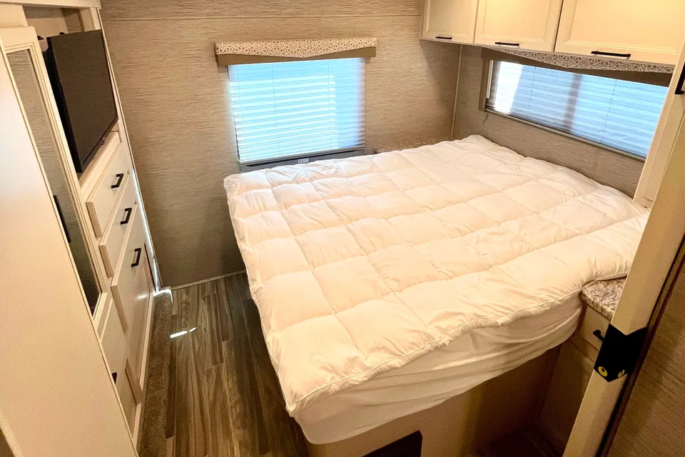
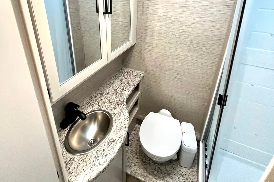
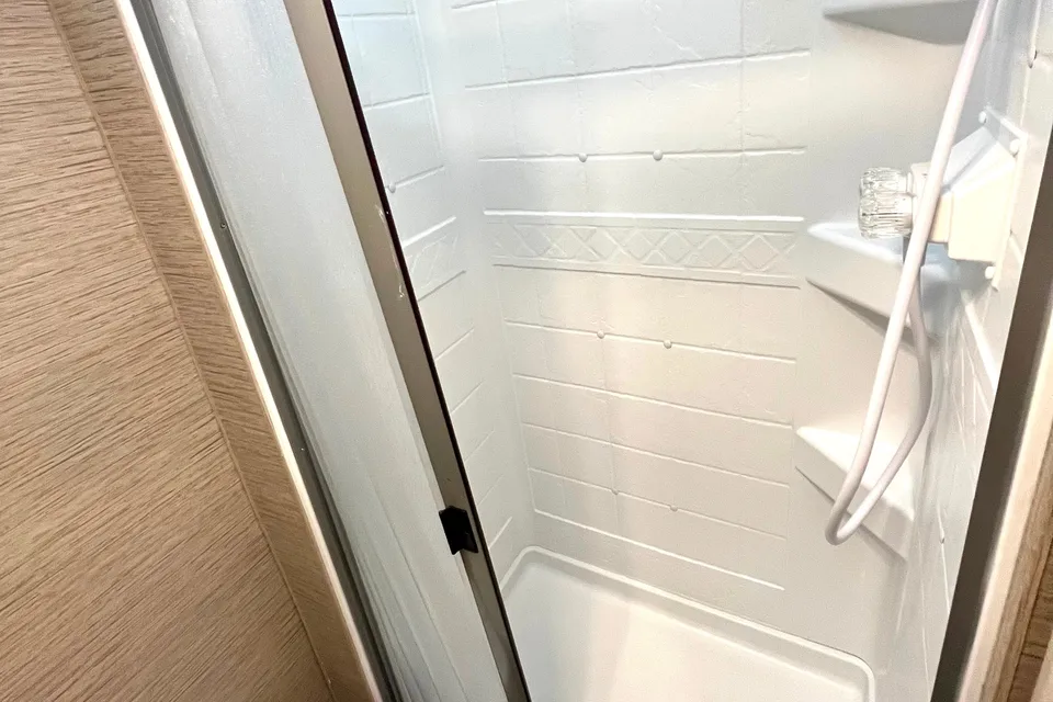
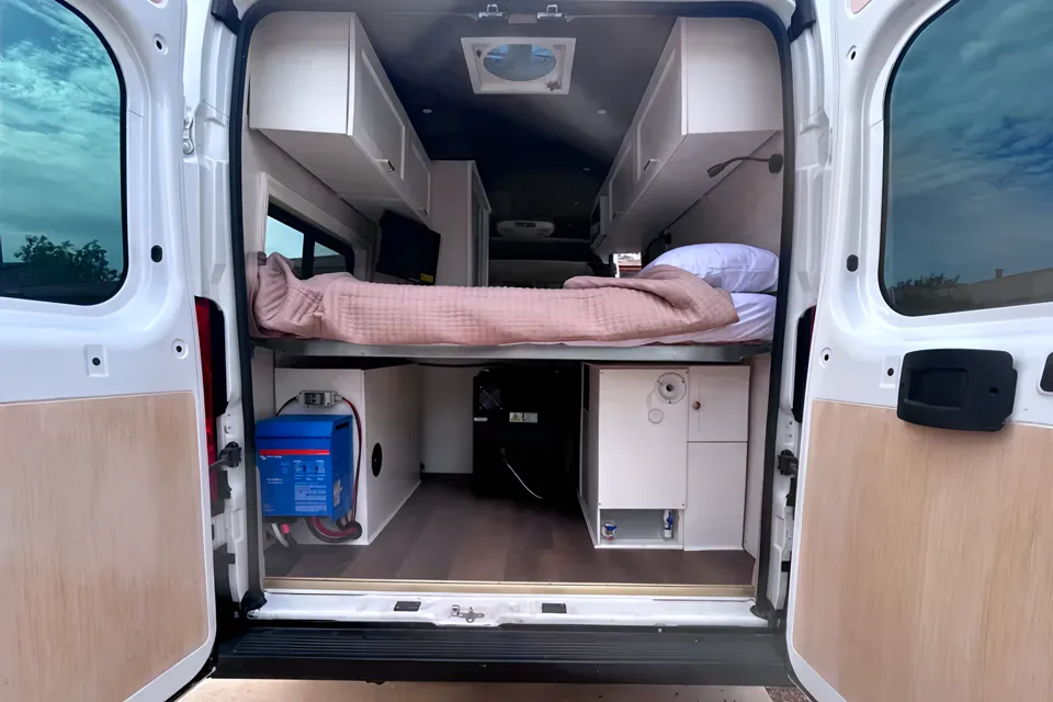
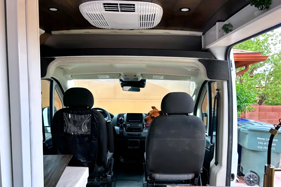
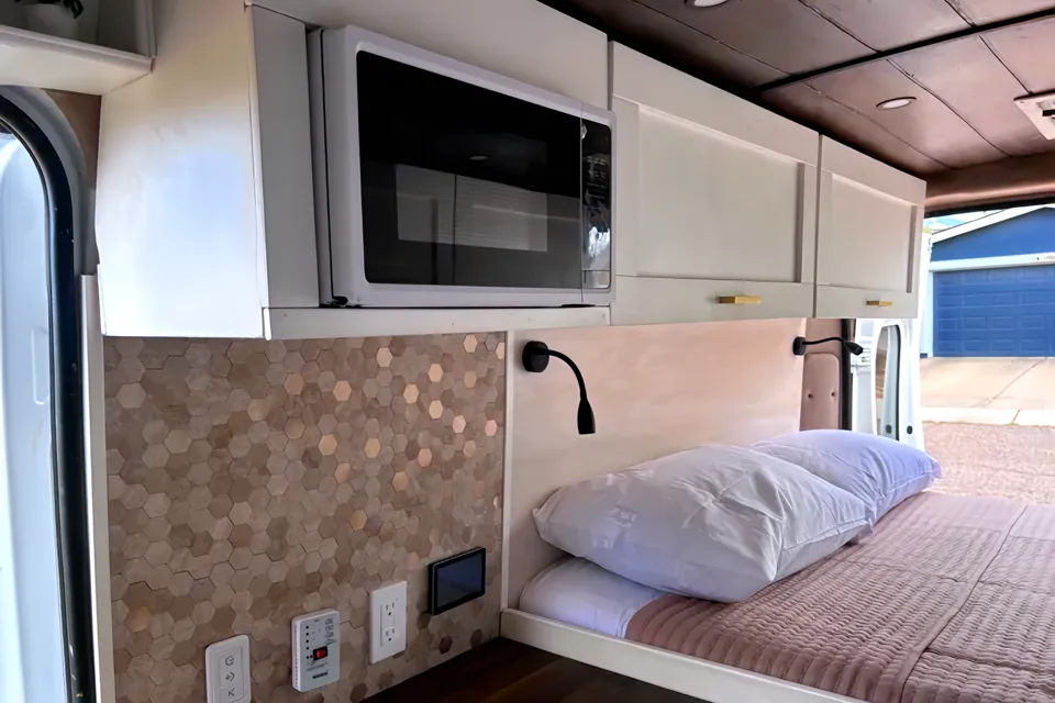
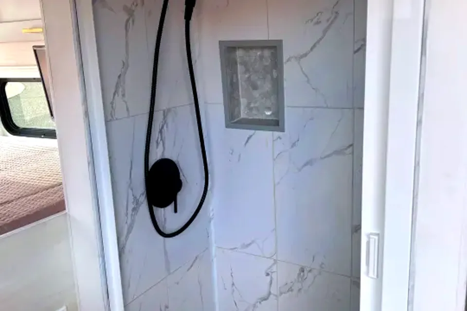
Best time to visit Sonoita Creek State Natural Area
Late October through April is the most comfortable window, with mild daytime temperatures, cool nights, and lower humidity that make long hikes along the creek more pleasant. Winter and early spring also bring strong birding opportunities in the riparian corridor. Summer months from June through early September are hot, with afternoon monsoon thunderstorms that can flood washes and the creek channel. Shoulder seasons of March and October balance open facilities at Patagonia Lake State Park with smaller crowds than the peak winter birding period.
Cool, dry winter days; excellent birding season
Mild shoulder season, good hiking weather
Hot, dry; start hikes early
Pre-monsoon heat; high fire danger possible
Monsoon season; flash floods in creek and washes
Monsoon thunderstorms continue; check trail conditions
Monsoon tapers off; pleasant afternoons
Peak shoulder season for RV travel
Cool, occasional freezes overnight
Things to do at Sonoita Creek State Natural Area
- Sonoita Creek Trail ModerateRV parking available
The Sonoita Creek Trail is the primary backcountry route into the natural area, starting from the Patagonia Lake State Park campground area. It follows the lake shoreline before descending into the creek canyon, passing through mesquite bosque and cottonwood-willow riparian forest. RV parking is available at the state park trailhead lots.
- Birdwatching along the creek corridorRV parking available
The Sonoita Creek riparian zone is one of the premier birding destinations in southern Arizona, drawing species tied to perennial desert streams. Elegant trogons, gray hawks, vermilion flycatchers, and a wide range of migrating songbirds are commonly reported by visitors. Birders typically park at Patagonia Lake State Park and walk in.
- Wildlife viewing EasyRV parking available
The natural area protects habitat for white-tailed deer, javelina, coatimundi, and a variety of reptiles and amphibians tied to the creek. Early morning and evening walks from the state park offer the best chance of sightings. Stay on designated trails to protect sensitive riparian vegetation.
- Guided nature hikes from Patagonia Lake State Park EasyRV parking available
Rangers and volunteers at Patagonia Lake State Park periodically lead interpretive hikes into the natural area, including birding walks and pontoon boat tours that drop hikers at the trailhead. These programs are the easiest way for first-time RV visitors to orient themselves. Check the state park visitor center for current schedules.
- Photography of riparian landscapesRV parking available
Cottonwoods, willows, and the perennial flow of Sonoita Creek create photographic scenes rarely found in the surrounding desert. Fall color in the cottonwoods and spring green-up are especially productive for landscape photographers. Trailhead parking at Patagonia Lake State Park accommodates RVs and tow vehicles.
- Fishing and boating at Patagonia Lake EasyRV parking available
Adjacent Patagonia Lake offers fishing for bass, catfish, crappie, and seasonally stocked trout, along with swimming beaches and a boat ramp. Many RV campers combine a day hike into the natural area with an afternoon on the lake. The state park marina rents small boats for guests without their own watercraft.
- Stargazing from Patagonia Lake State Park EasyRV parking available
The rural location between Patagonia and Nogales keeps light pollution low, making the state park campground a strong base for night sky viewing. Summer monsoon clearings and dry winter nights both deliver dark, star-filled skies. RV sites double as practical viewing pads.

RV delivery to 20 campgrounds
Skip the pickup. Skip the towing. Get an RV delivered and set up at your campsite so you can arrive, unpack, and start your trip stress-free.
Choose your perfect RV
Browse RVs that offer delivery to your site and book the one that fits your budget and adventure style.
Lock in your campsite
Reserve your campsite with the hookups and amenities you need. We’ll help you find RVs that meet site requirements.
Arrive and relax
Your host delivers and sets up the RV before you get there. Just show up and start enjoying your trip.
Find the perfect RV for these nearby campgrounds
RV Rentals Sonoita Creek State Natural Area
Sonoita Creek State Natural Area, AZ, United States
How to get to Sonoita Creek State Natural Area
The natural area is reached through Patagonia Lake State Park, about 12 miles northeast of Nogales and roughly 60 miles south of Tucson by way of Interstate 19 and State Route 82. From Tucson, plan on about 1.5 hours of driving in an RV, with the final approach on Patagonia Lake Road, a paved but winding entry road with tight turns near the park entrance that rigs over 40 feet should scout carefully. Drivers coming from the east via State Route 82 pass through rolling grassland with no major tunnels or steep mountain grades, though crosswinds on open stretches can be strong. The nearest commercial airport for fly-and-rent travelers is Tucson International Airport.
RVezy vs. Traditional RV rental
RVezy rentals
- Book directly from local RV owners
- Choose the exact RV you want
- Delivery to your campsite, home, or destination
- More variety: trailers, motorhomes, and campers
Traditional RV rental
- Limited fleet from a rental company
- Exact RV not guaranteed
- Pickup only at retail locations
- Fewer RV types and less availability