Tallulah Gorge State Park - United States
Discover the RVezy RV rental marketplace
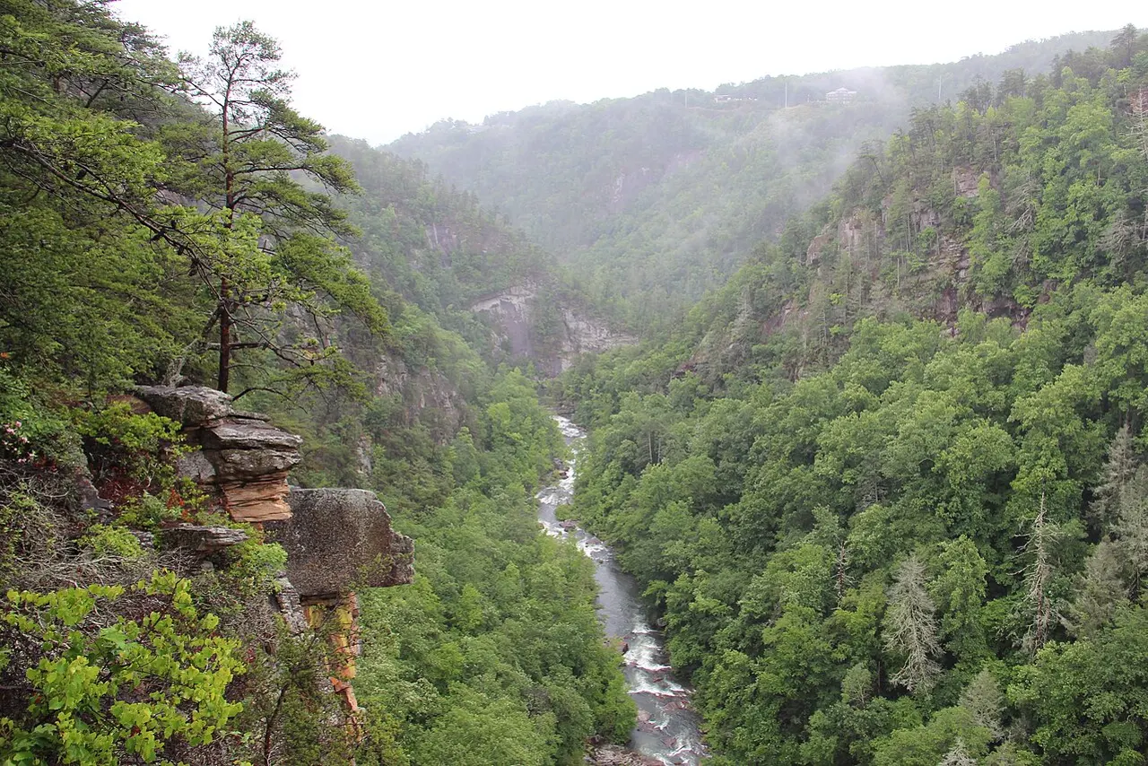
About Tallulah Gorge State Park
RV quick facts for Tallulah Gorge State Park
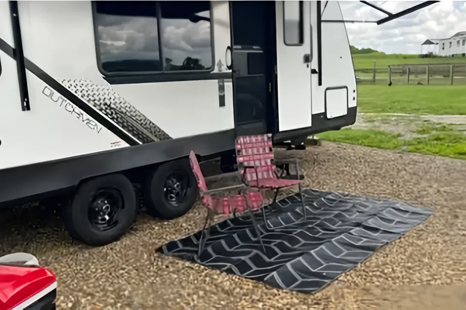
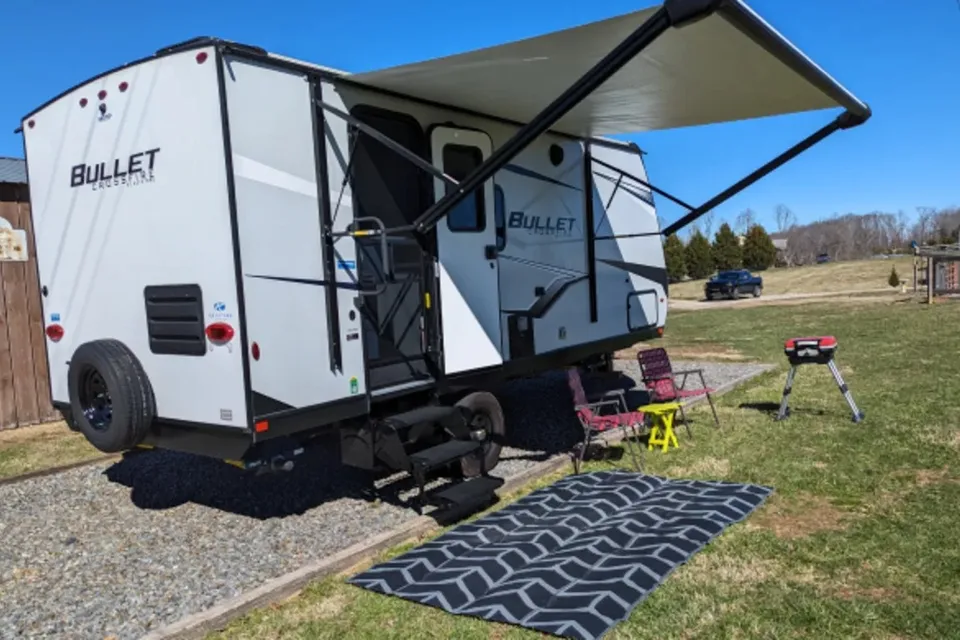
Featured RV rentals for Tallulah Gorge State Park
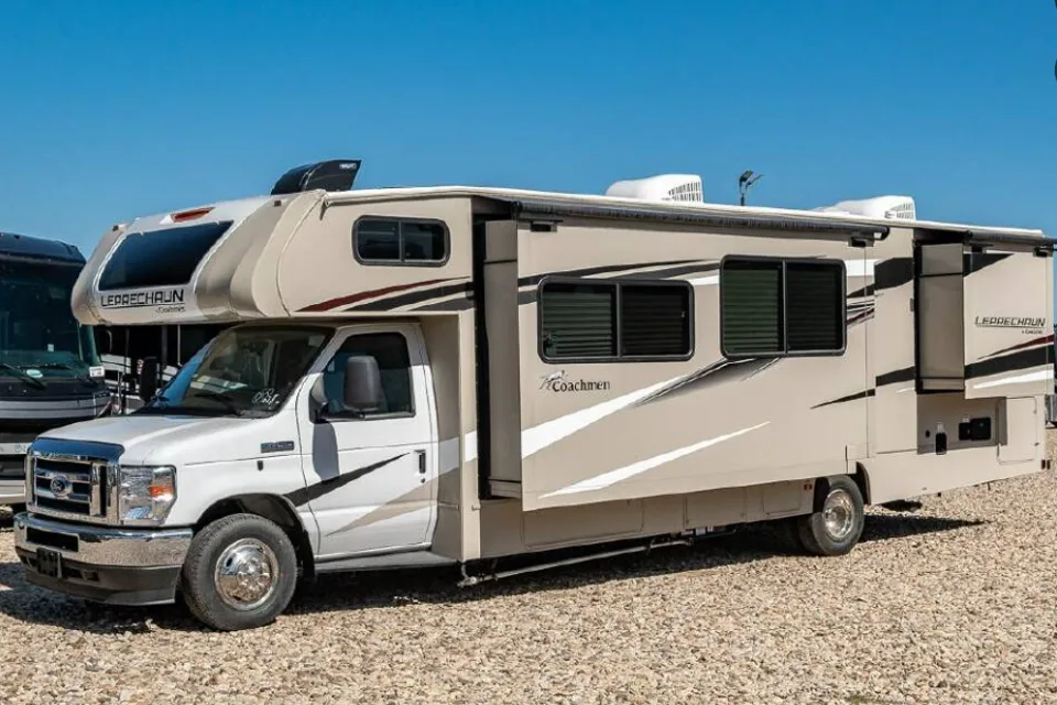
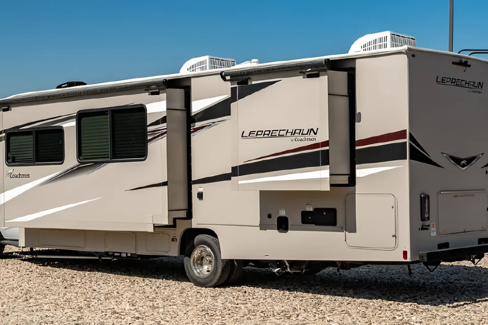
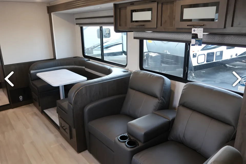
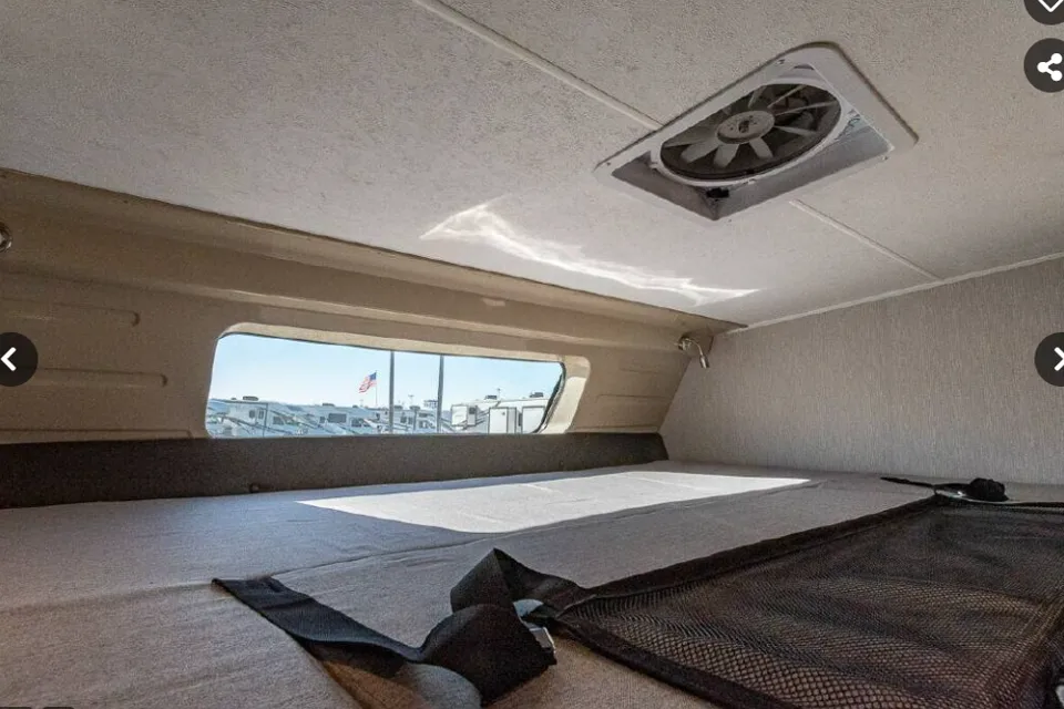
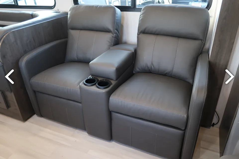
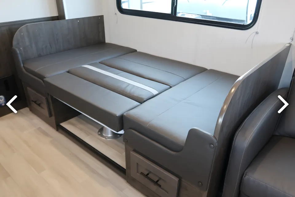
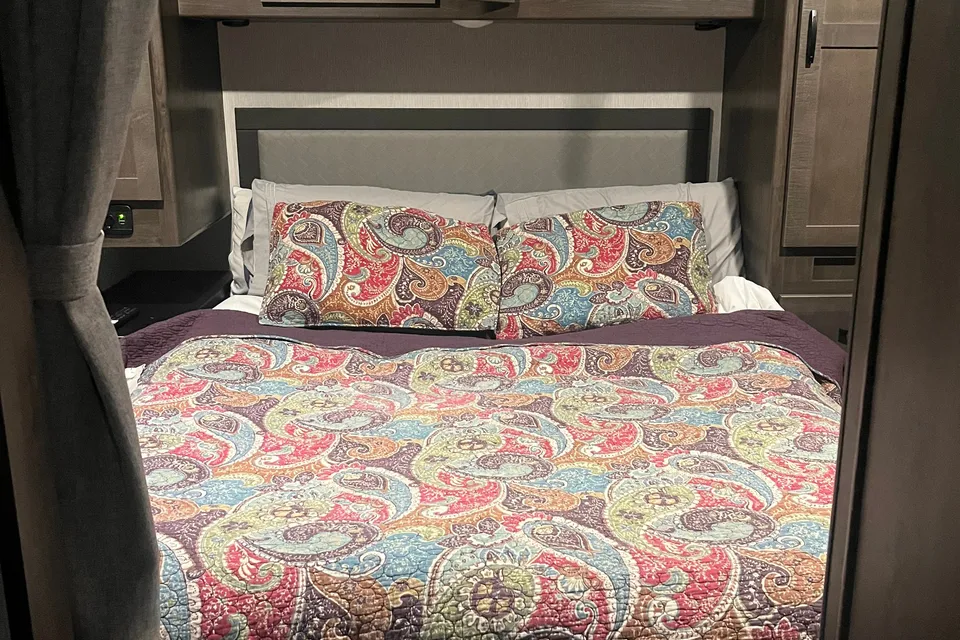
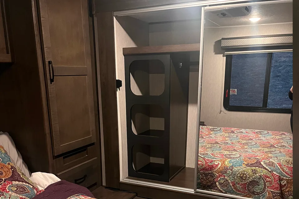
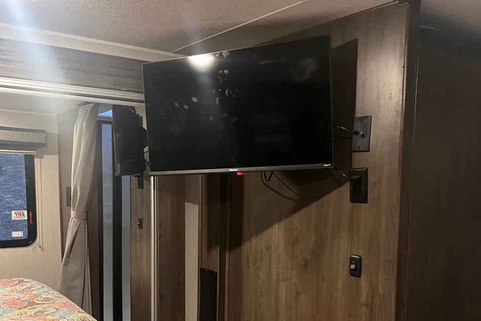
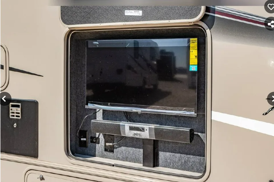
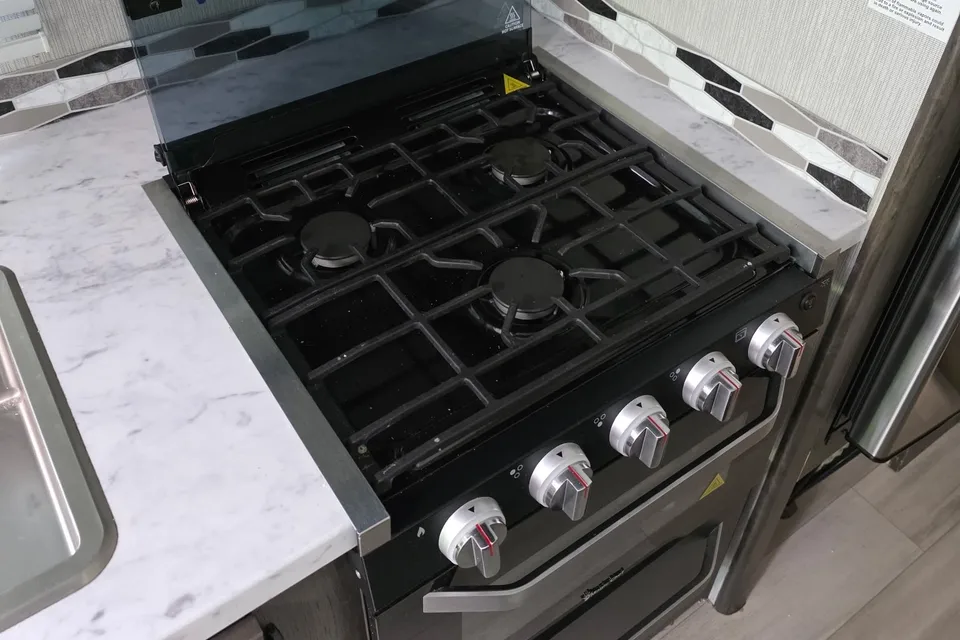
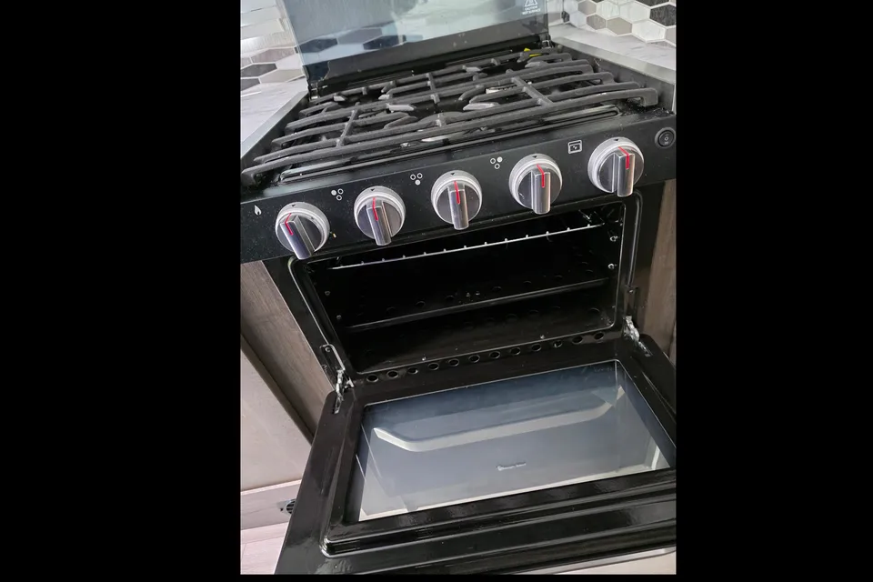
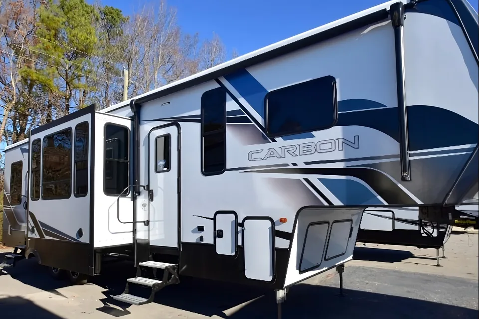
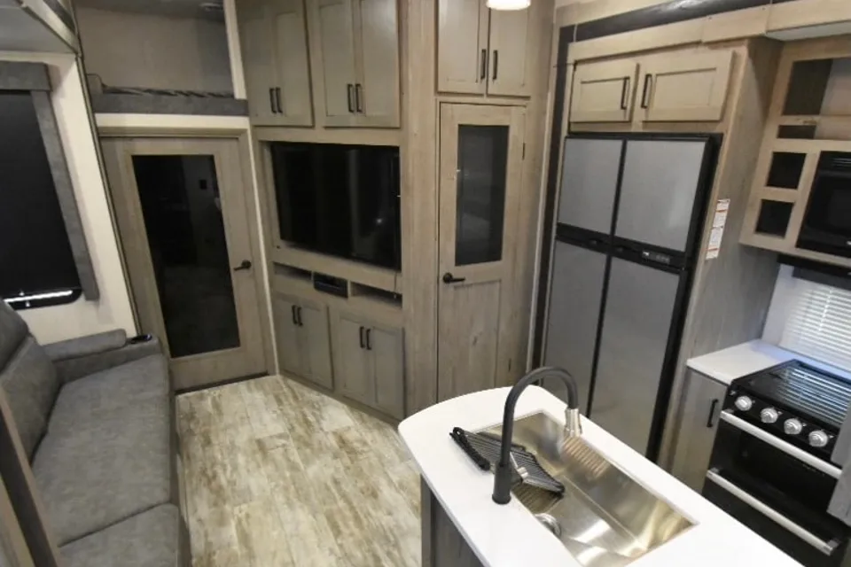
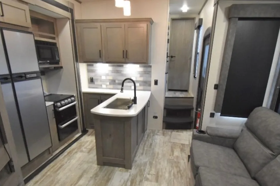
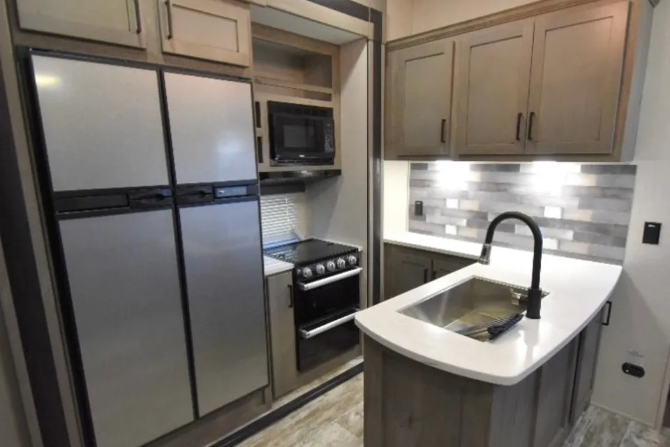
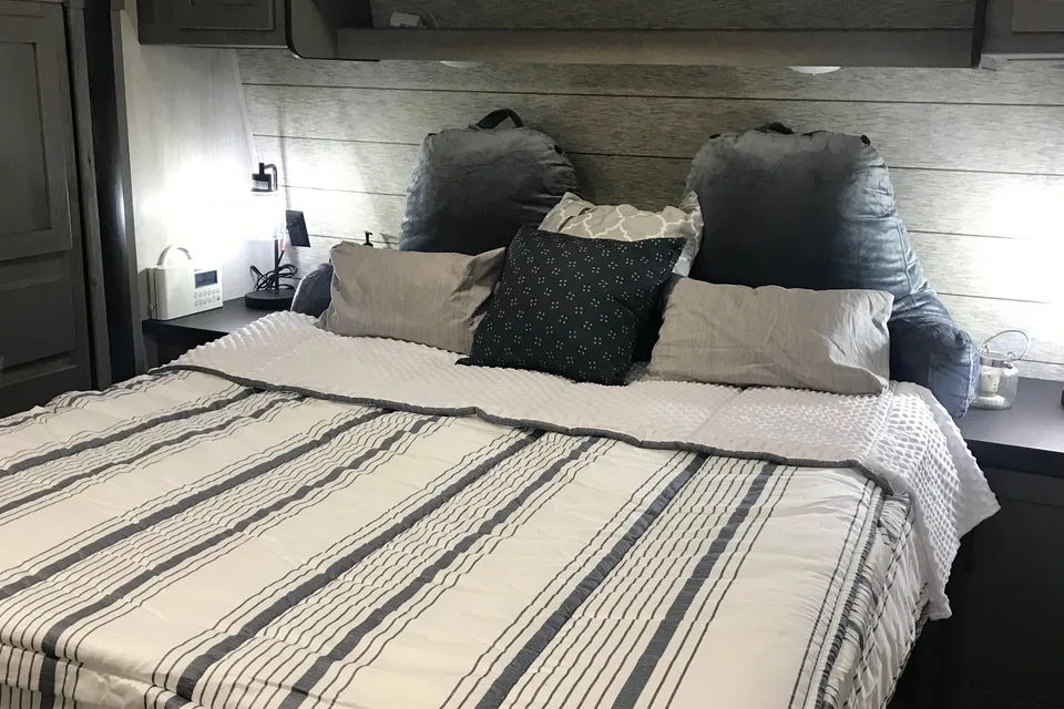
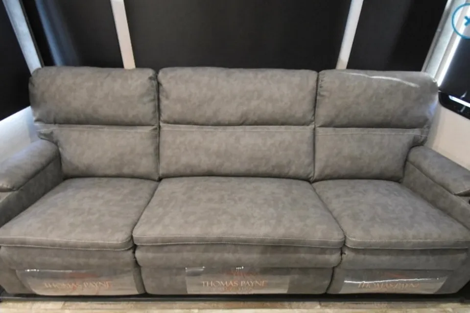
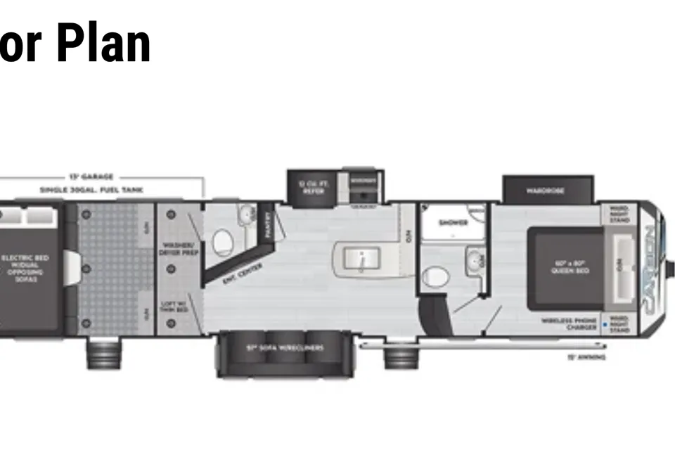
 Delivery only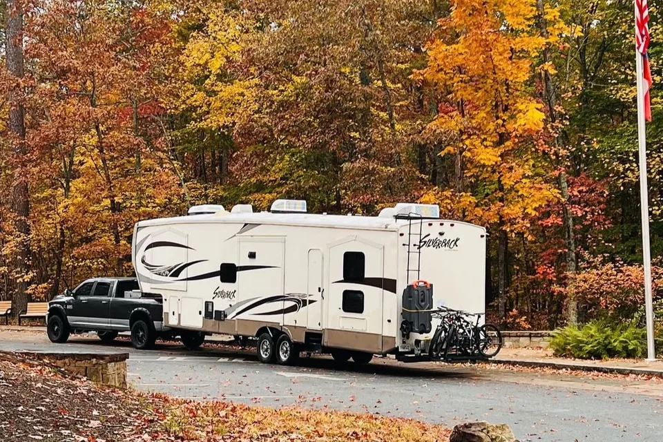
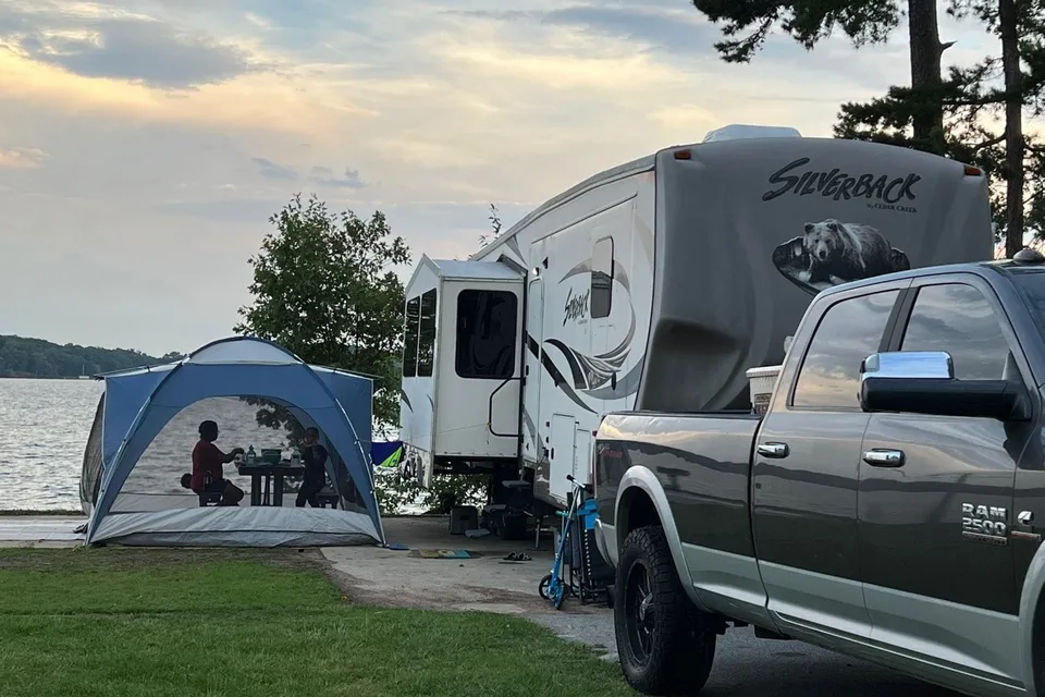
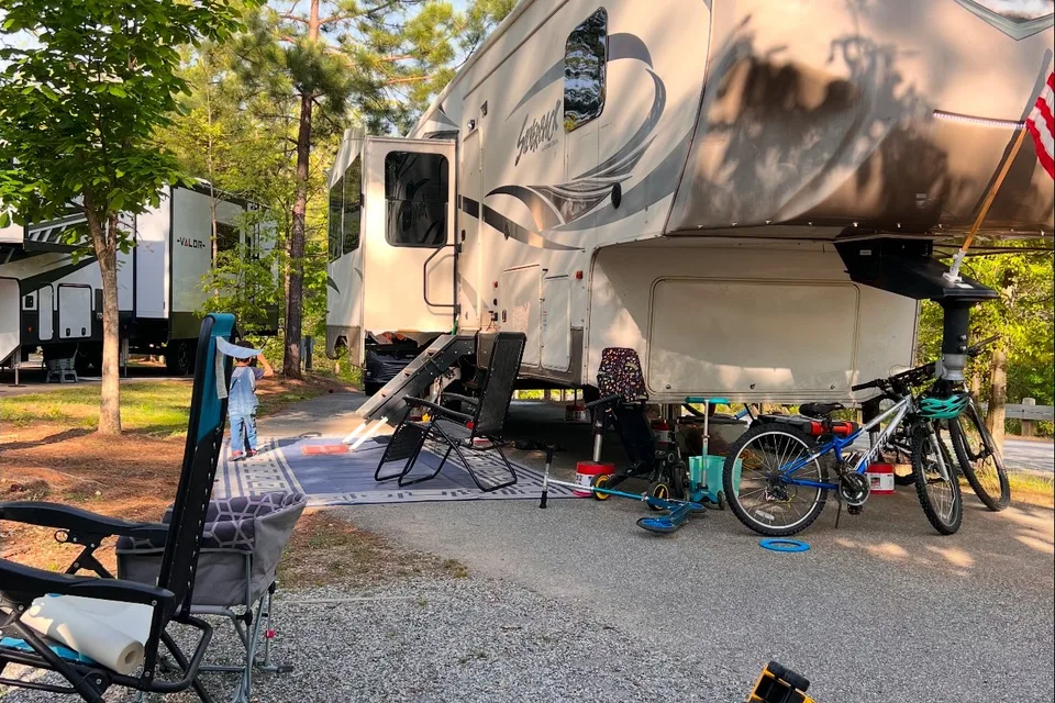
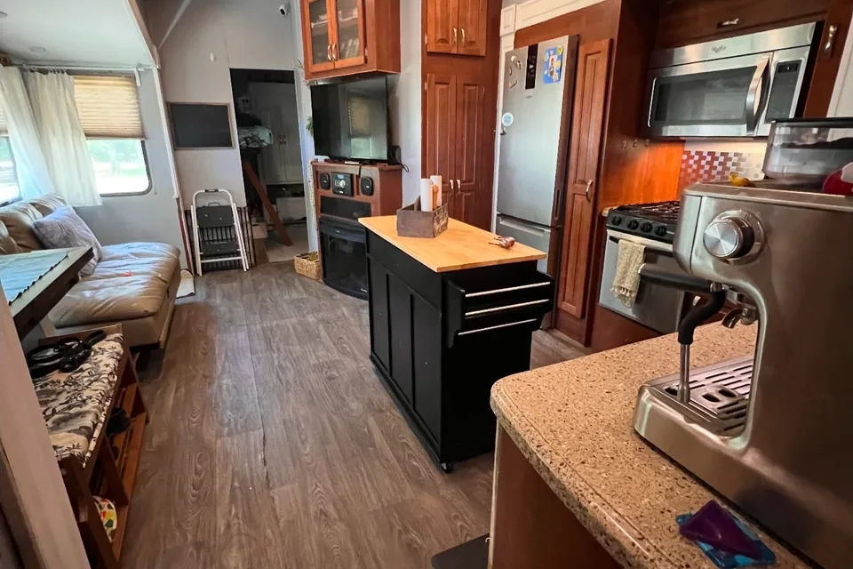
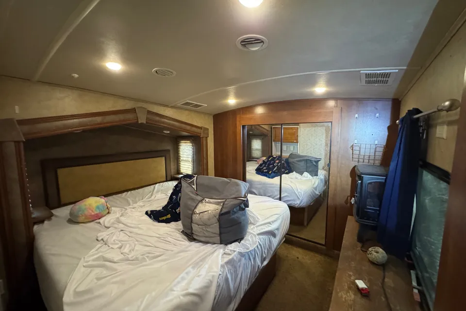
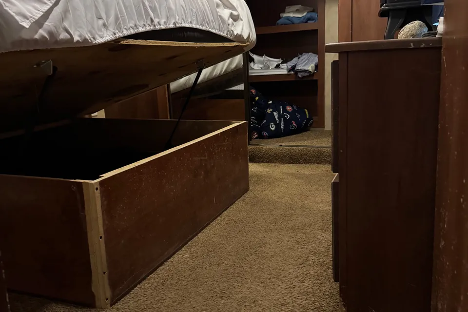
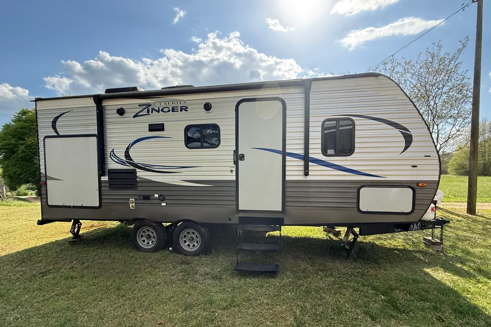
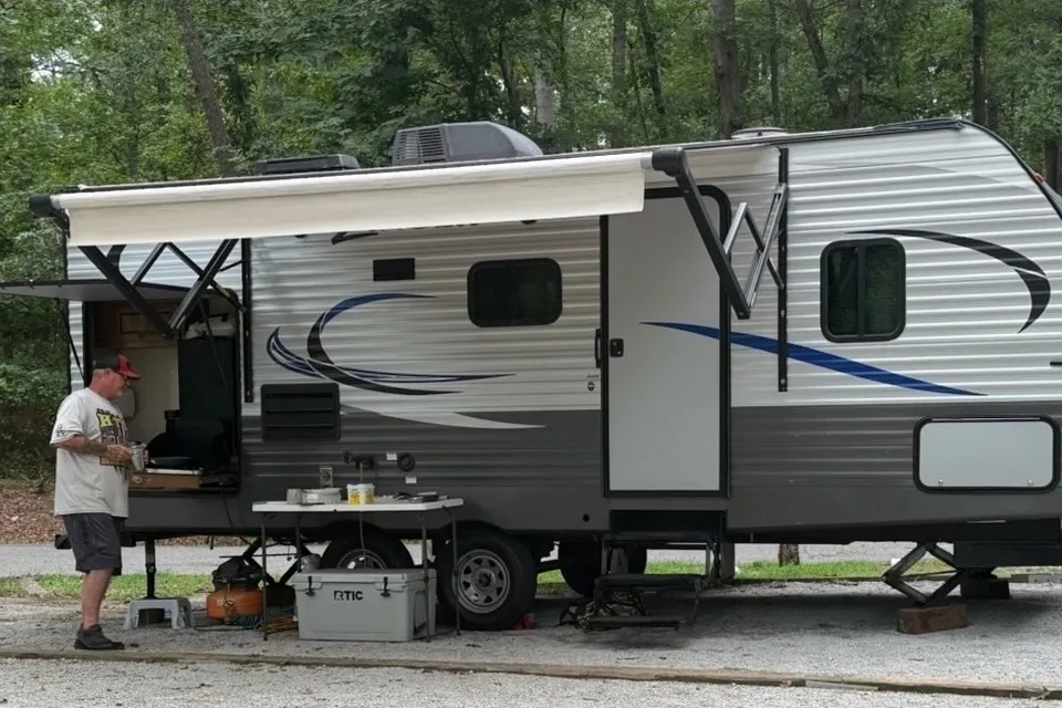
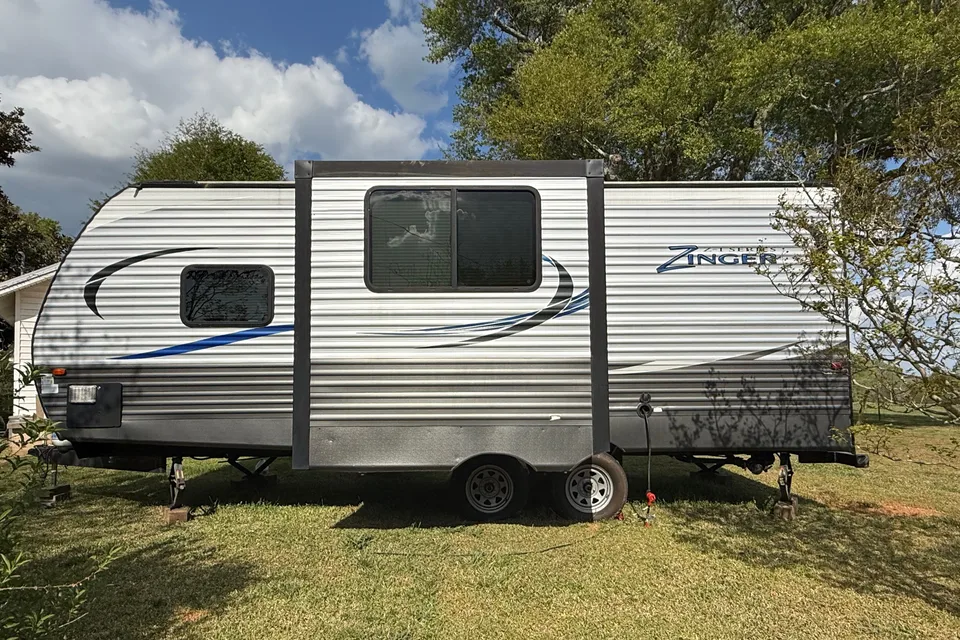
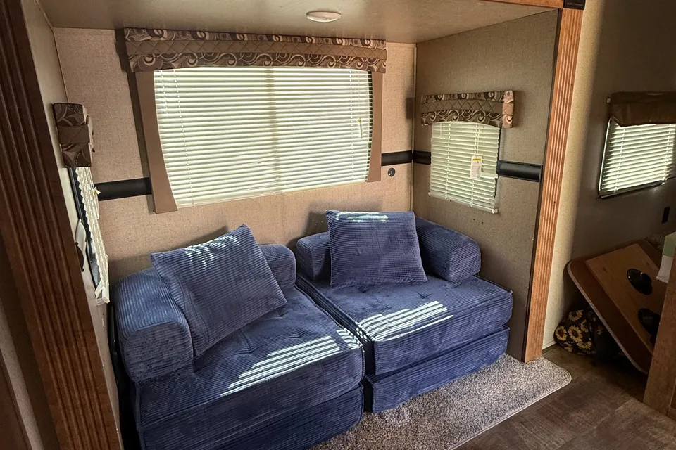
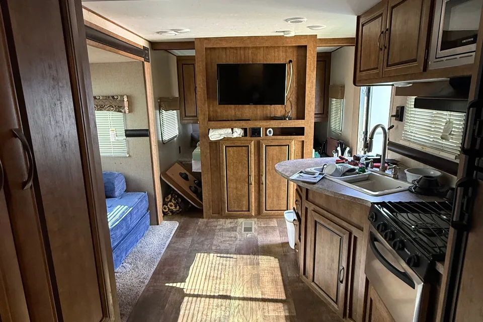
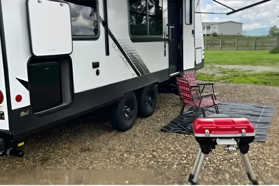
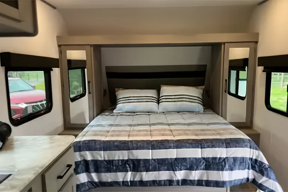
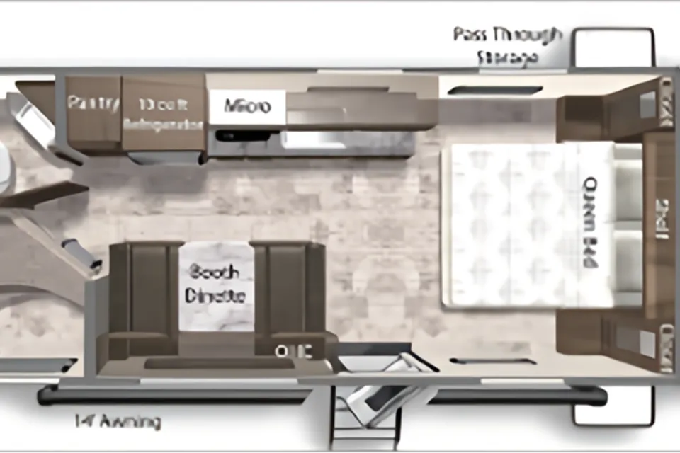
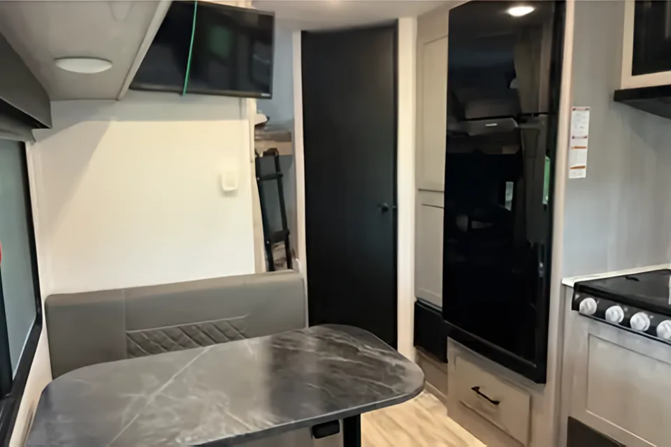
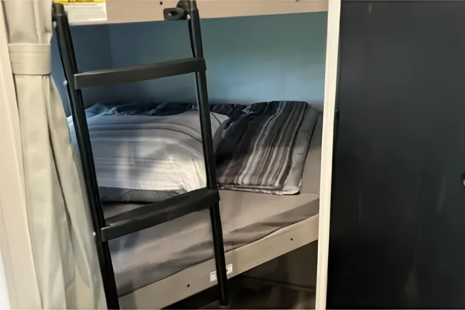
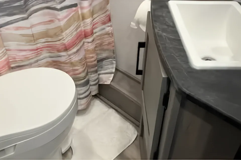
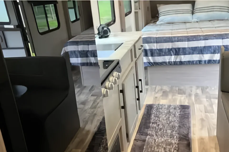
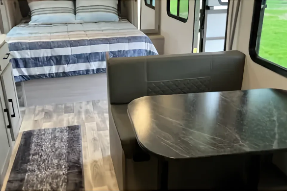
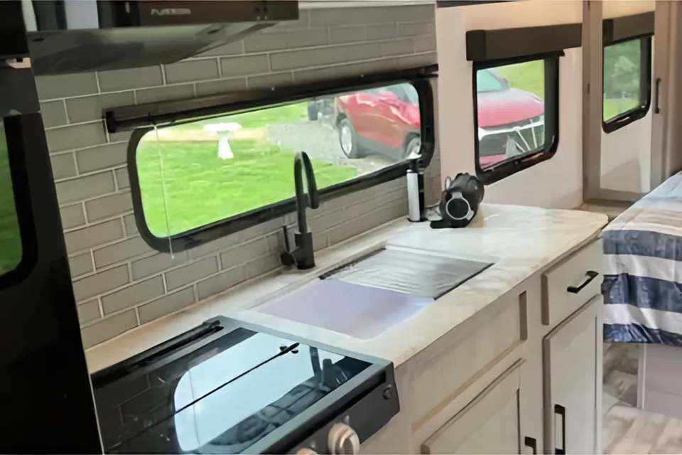
 Superhost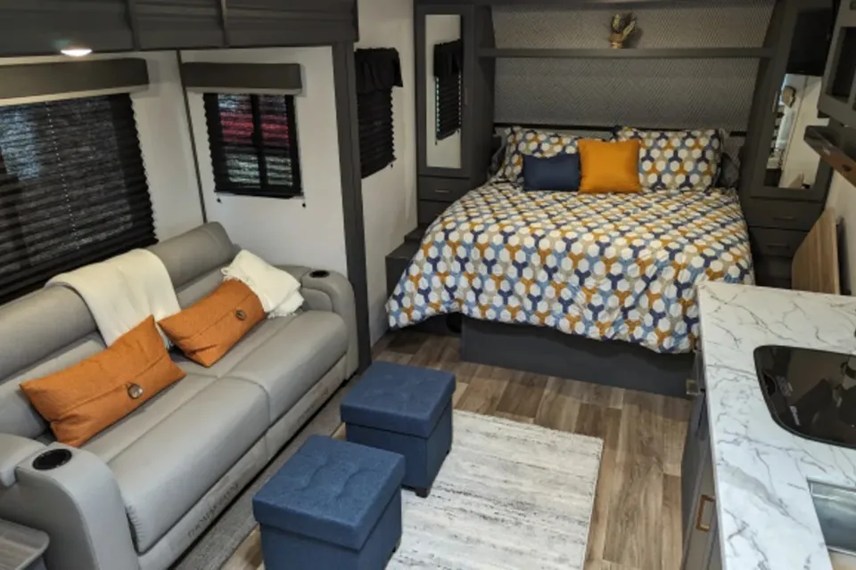
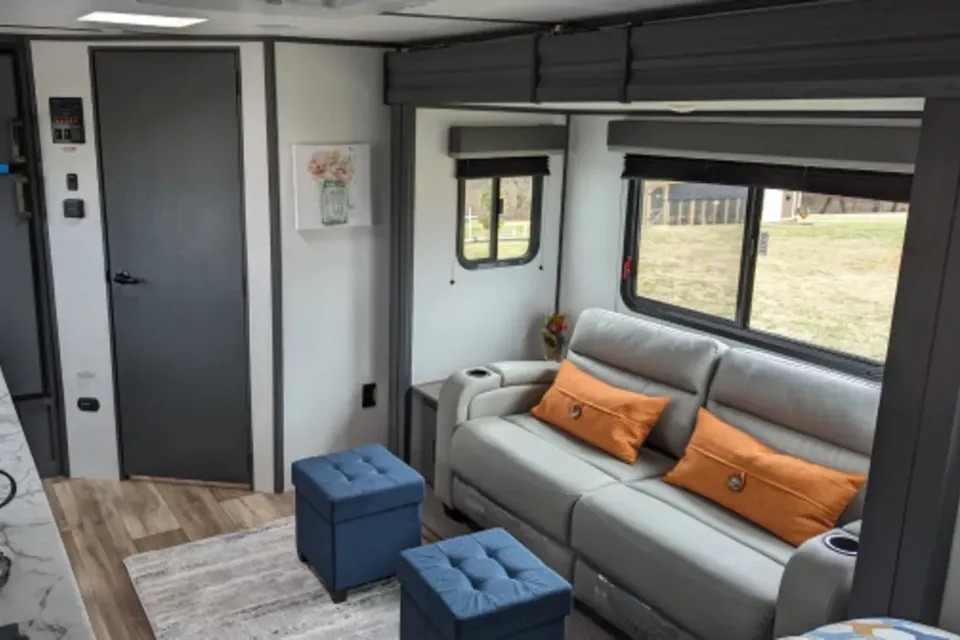
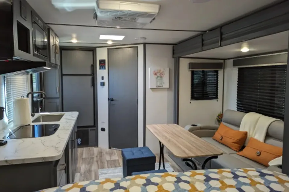
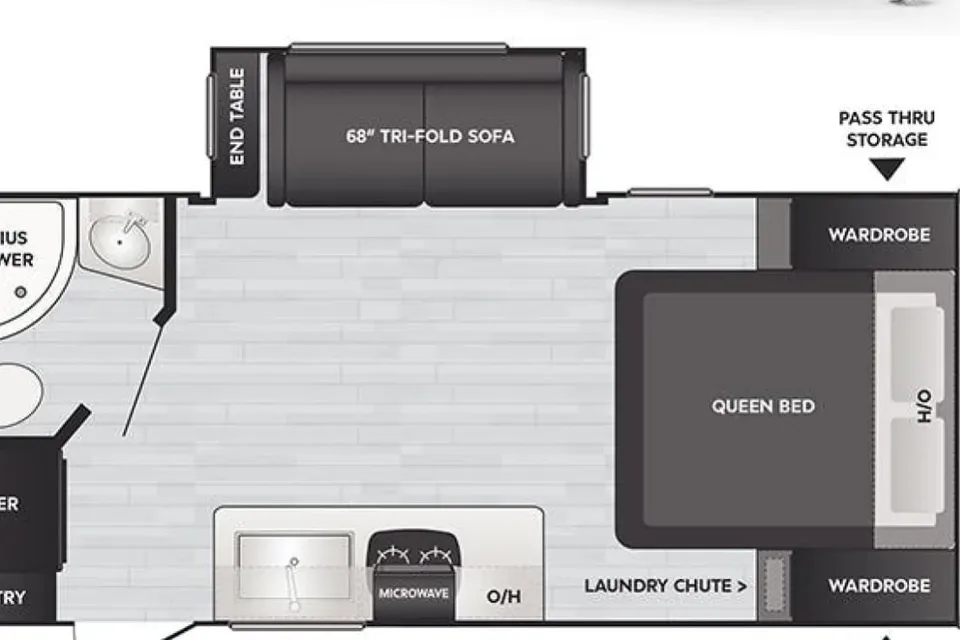 Superhost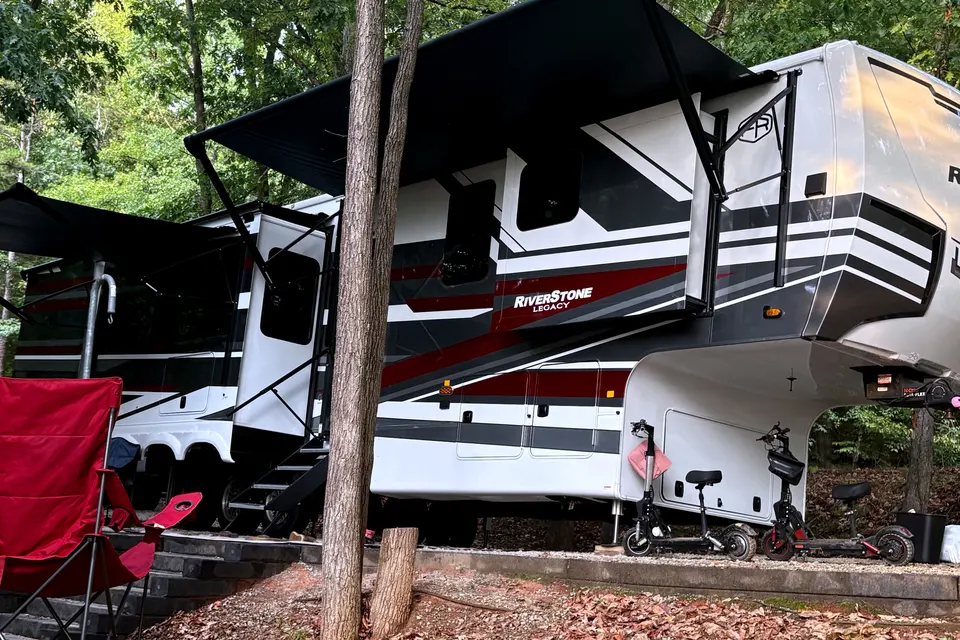
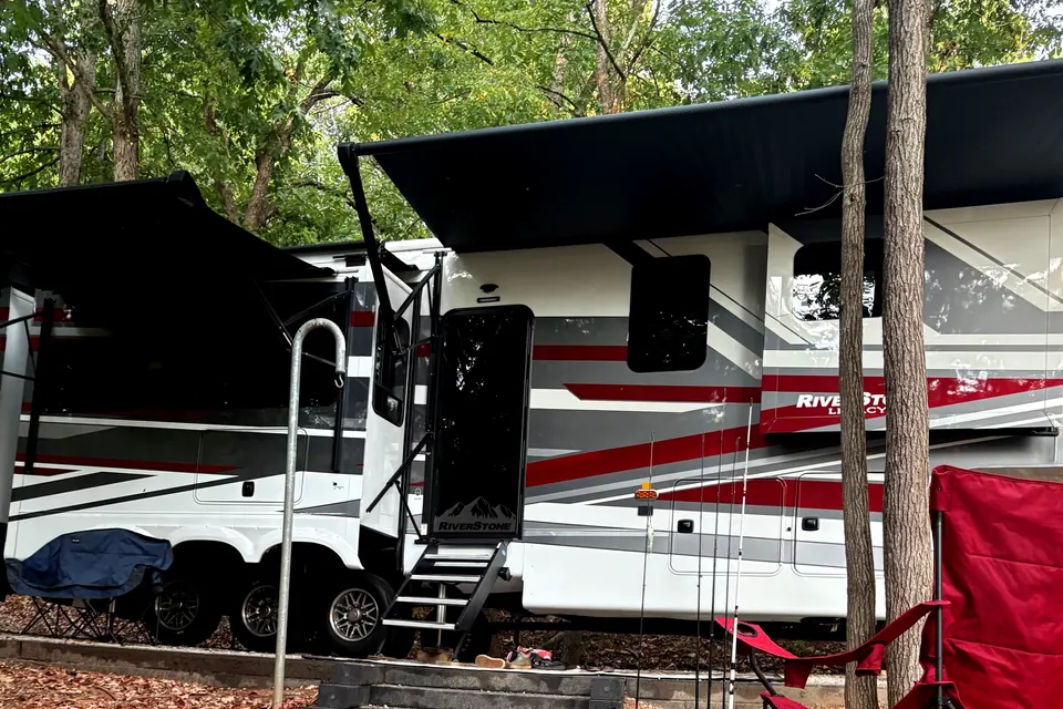
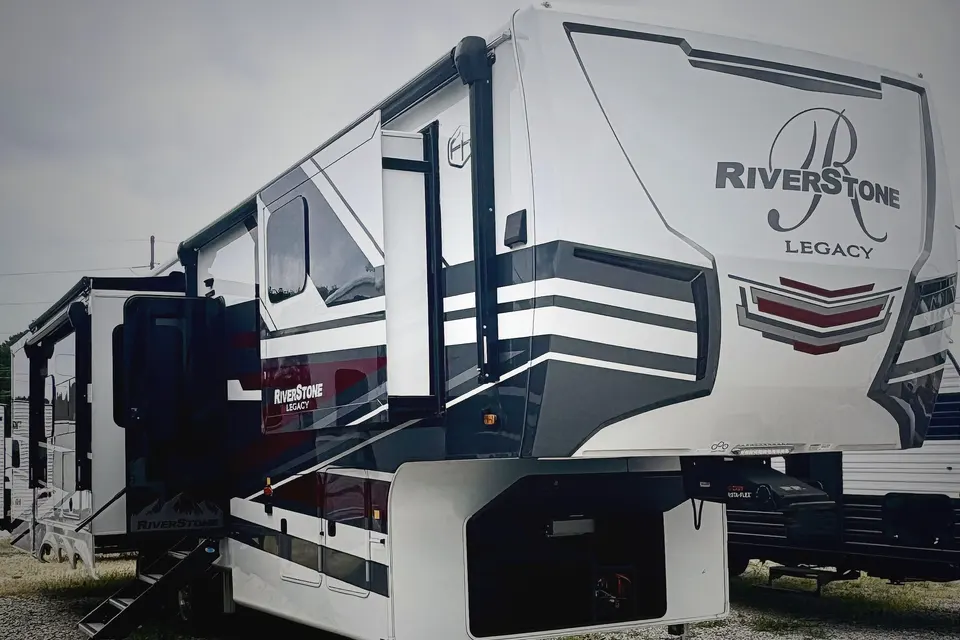
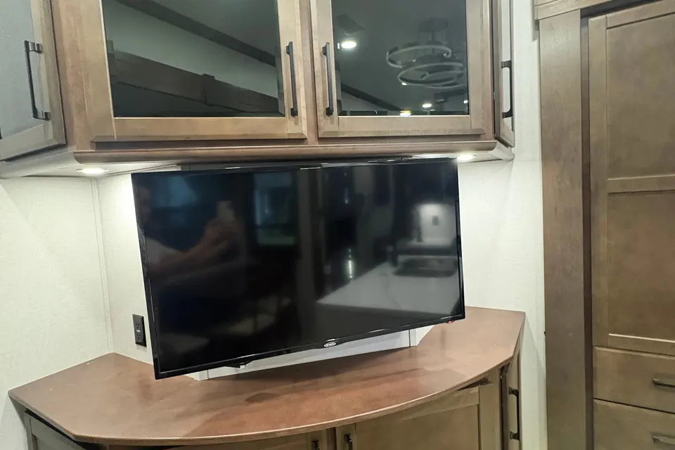
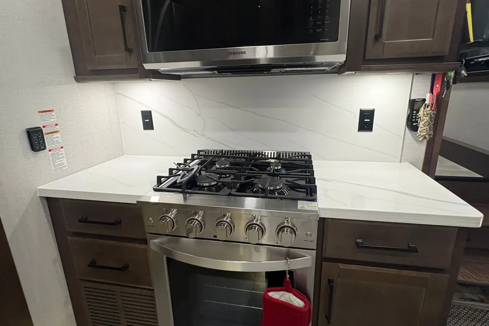
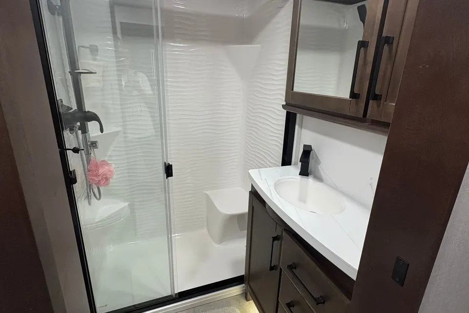
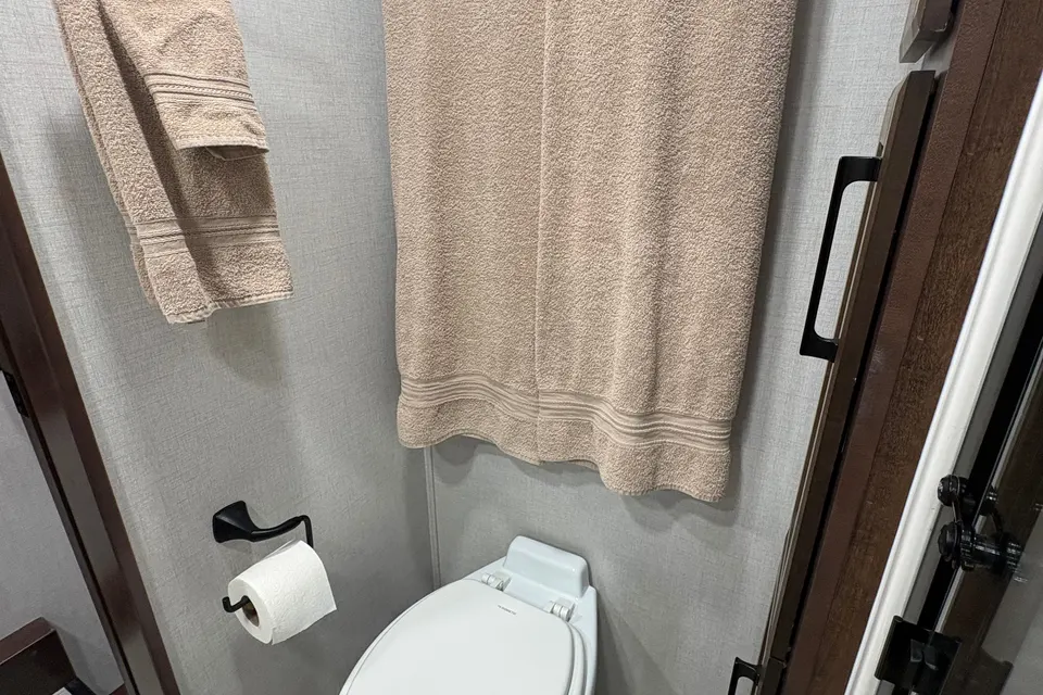
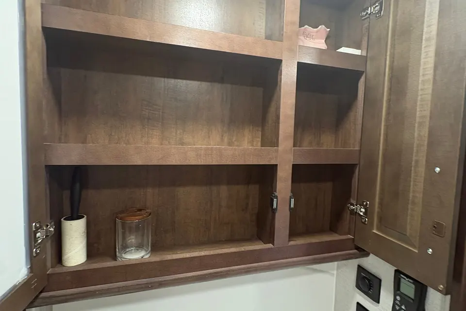
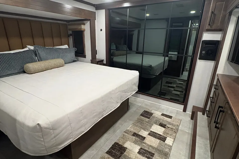
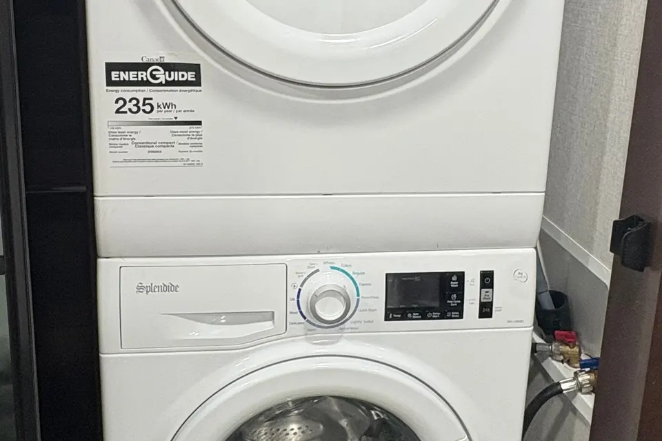
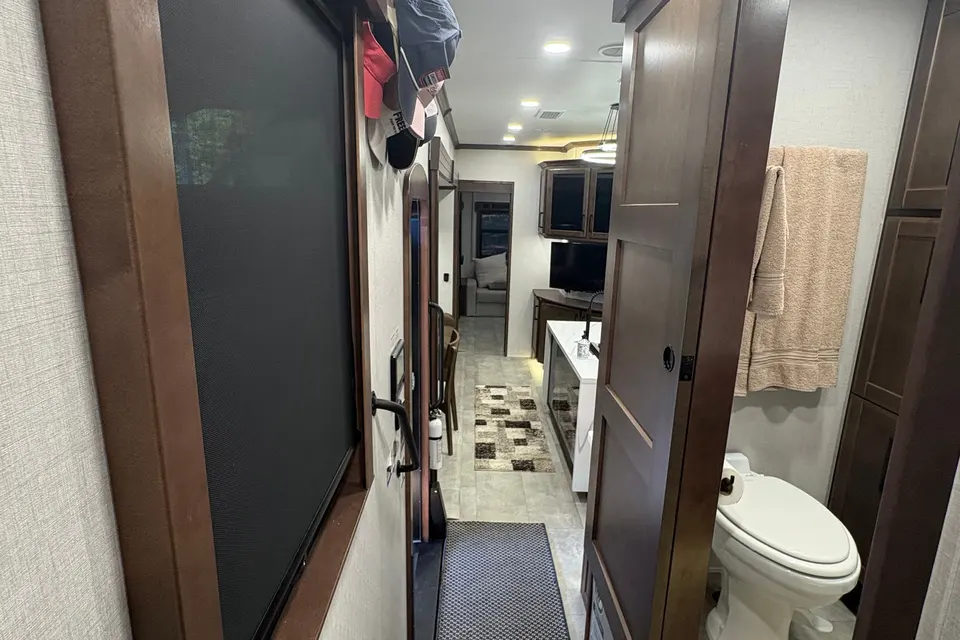
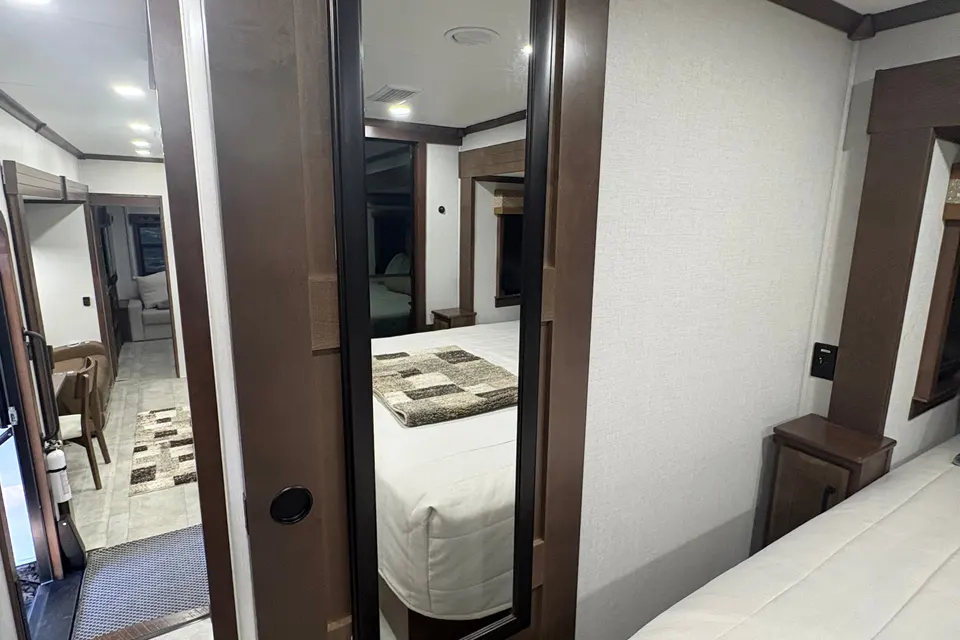
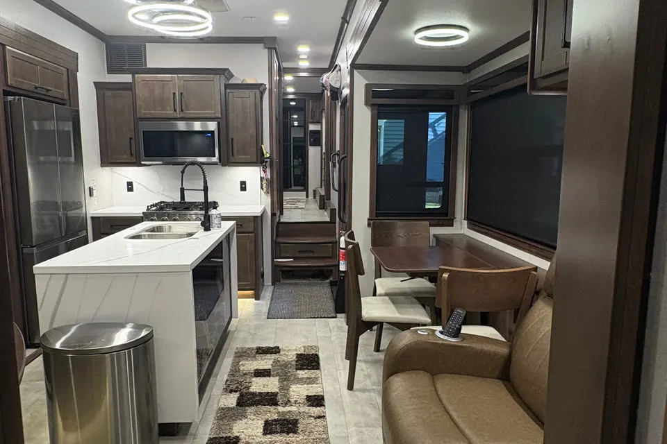
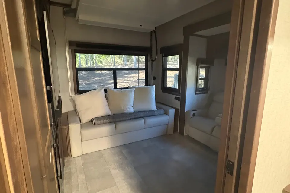
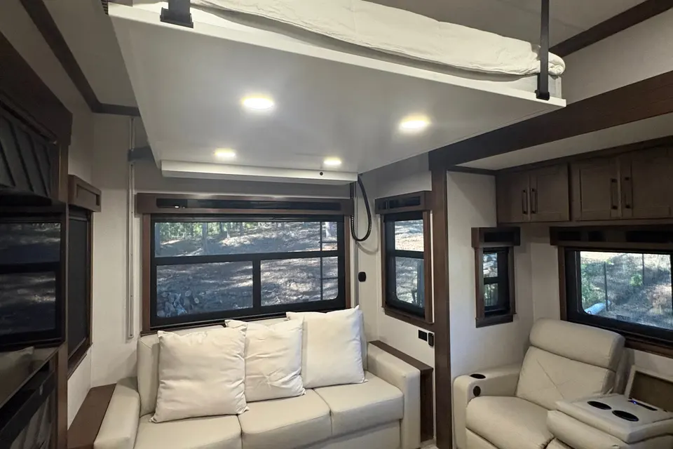
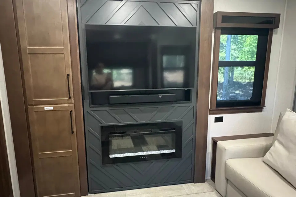
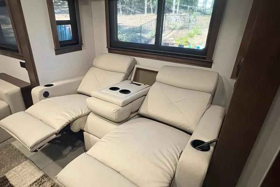
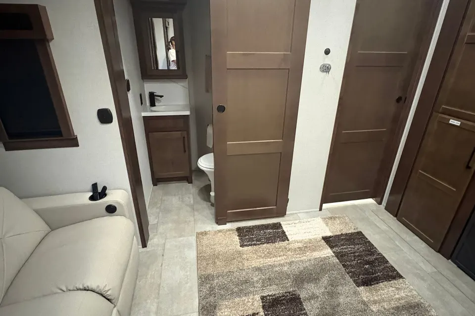
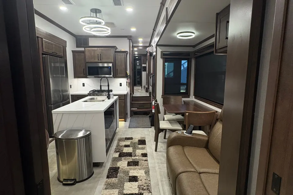
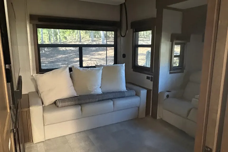
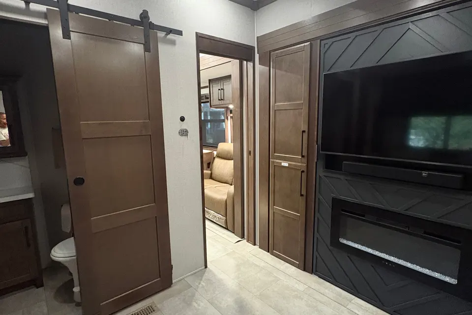
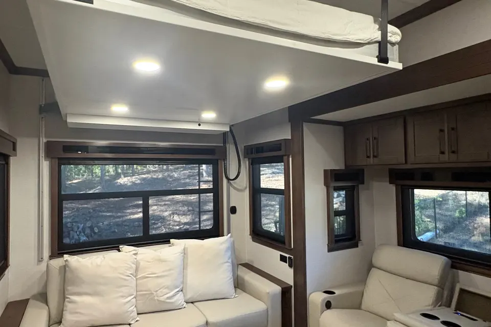
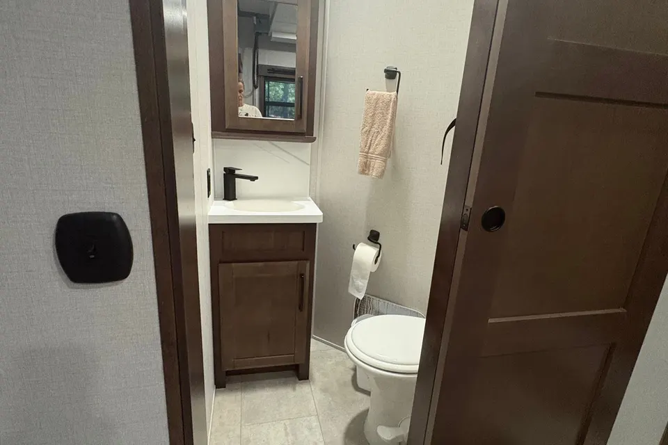
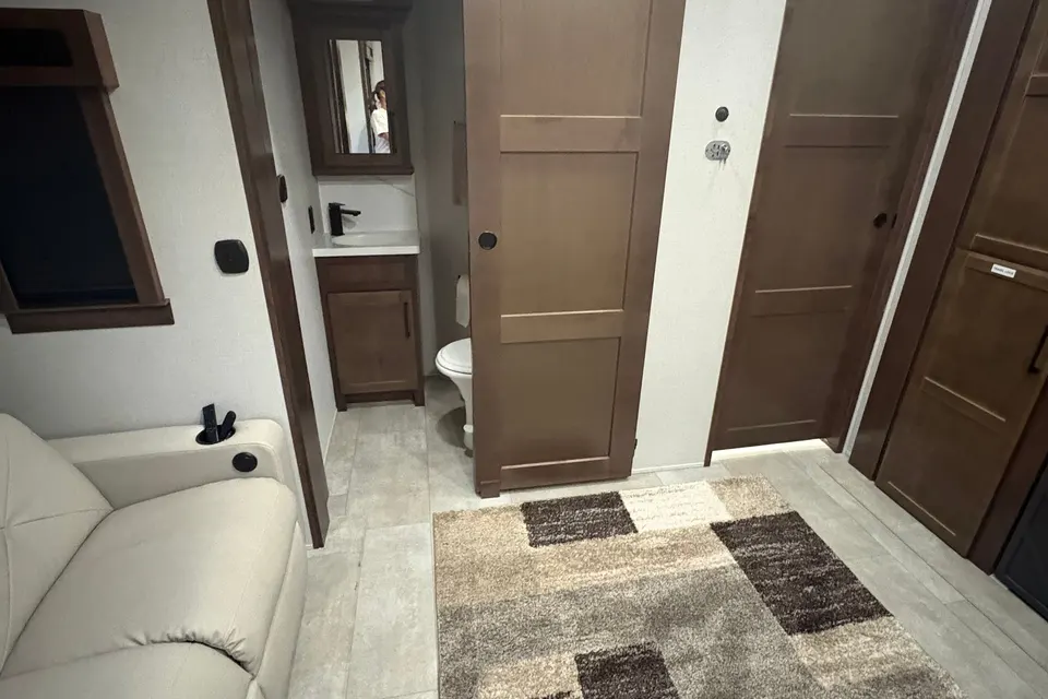
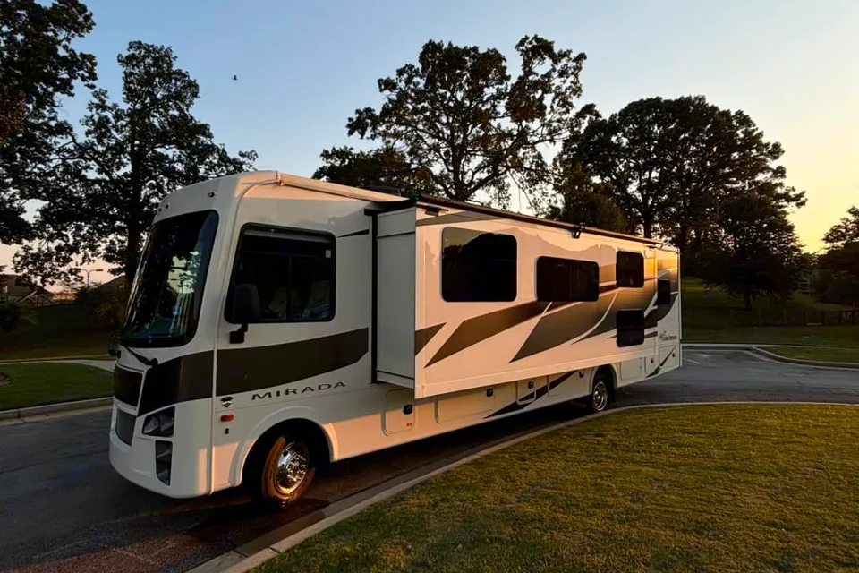
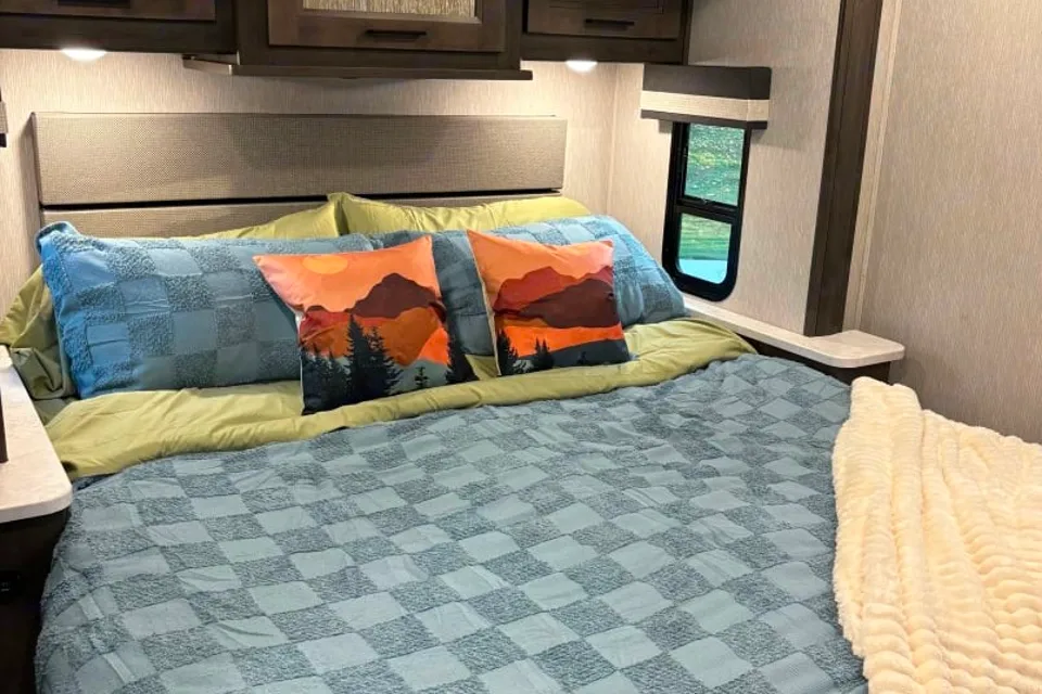
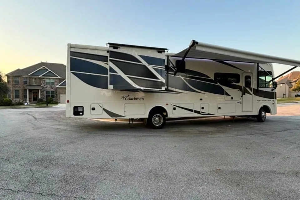
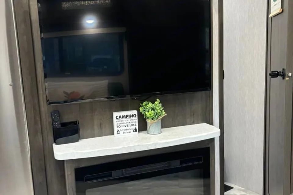
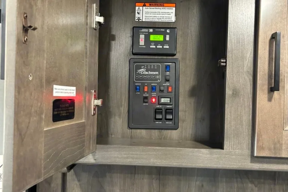
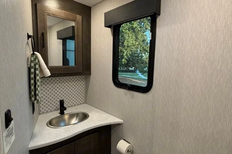
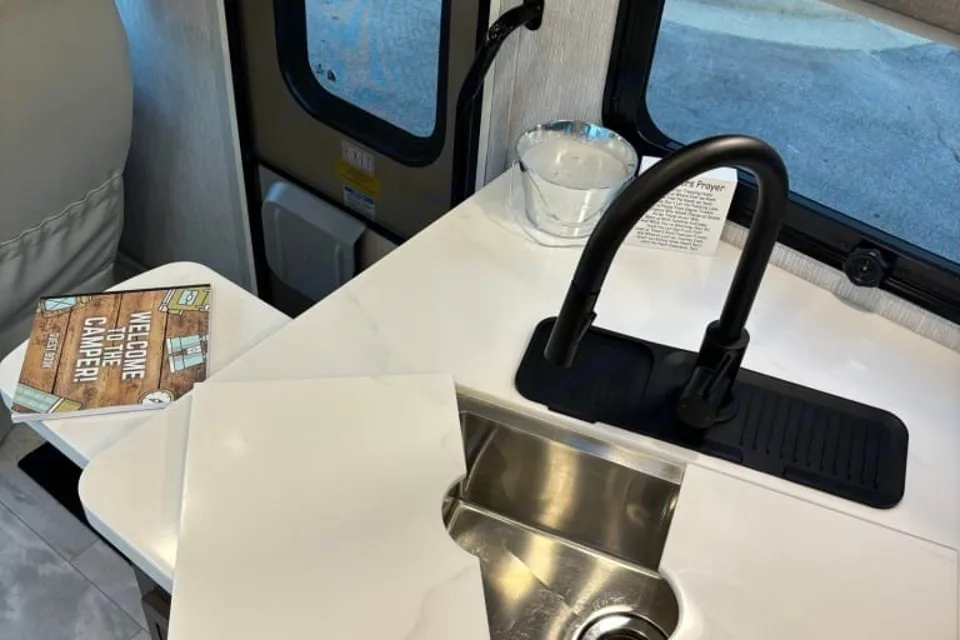

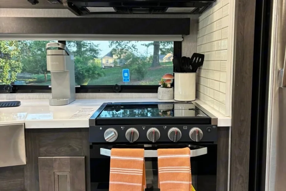

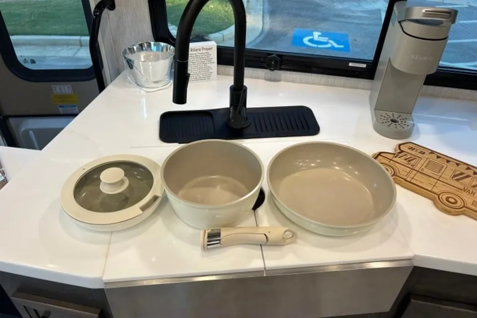
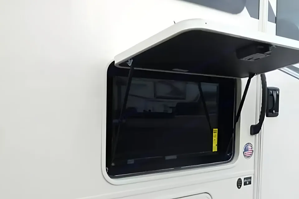
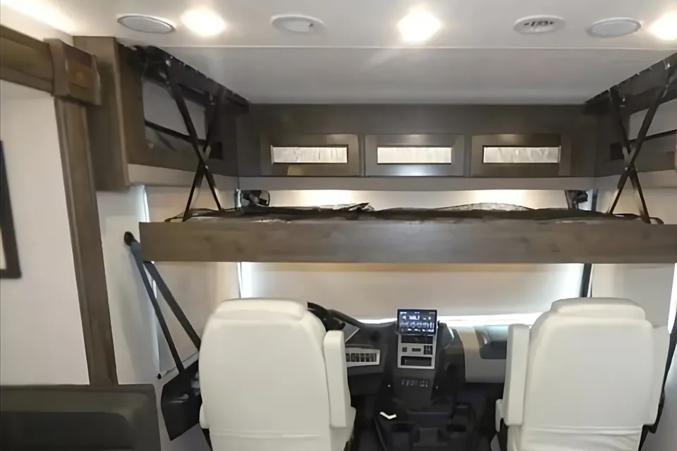
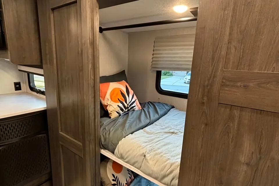
 Instant Book
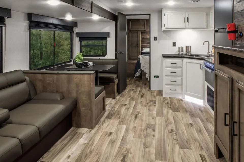
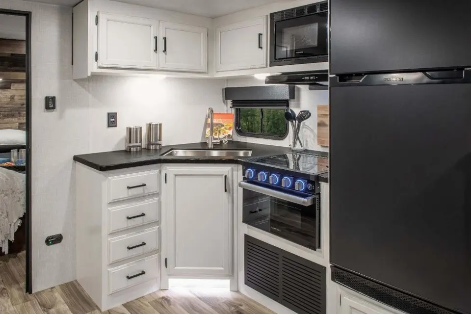
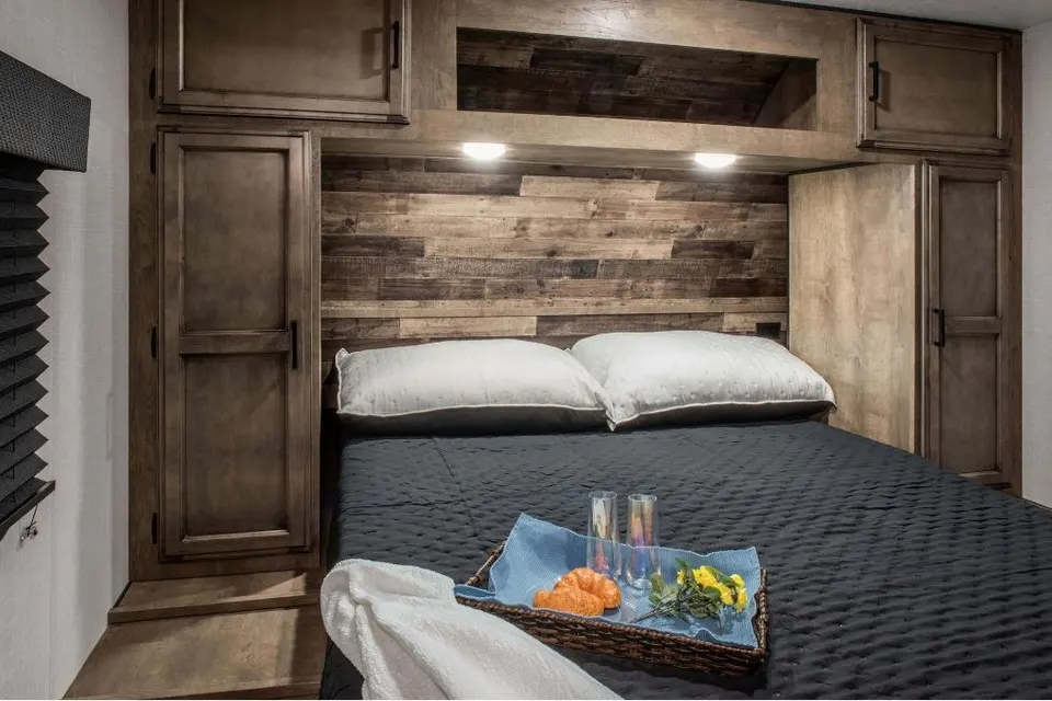
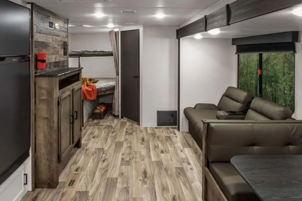
Best time to visit Tallulah Gorge State Park
Spring and fall are the most comfortable months for RV travel, with April through May offering mild temperatures and wildflowers and October delivering peak fall color along the gorge rim. Scheduled aesthetic whitewater releases on the Tallulah River, typically held on select weekends in April and November, draw paddlers and spectators and can fill the campground quickly. Summer is warm, humid, and busy, so weekday arrivals are smart. Winter visits are quieter and usually snow-free, but expect chilly nights and occasional icy patches on the stairs into the gorge.
Cold nights; occasional ice on gorge stairs
Wet and cool; low crowds
Early wildflowers; variable weather
Spring whitewater releases can fill campground
Prime hiking weather
Warm and humid; thunderstorm risk
Peak season; book campsites early
Hot; afternoon storms common
Cooler evenings; pleasant hiking
Peak fall color; reserve early
Fall whitewater releases may fill campground
Quiet season; cold nights
Things to do at Tallulah Gorge State Park
- North and South Rim Trails ModerateRV parking available
Paired rim trails along both sides of the gorge link a series of overlooks with dramatic views into the canyon and its waterfalls. The trails total roughly three miles combined and are mostly level between overlooks, with a set of metal stairs descending toward the suspension bridge. Start from the Jane Hurt Yarn Interpretive Center parking area.
- Hurricane Falls Suspension Bridge and Stairs StrenuousRV parking available
A signature park experience, the suspension bridge crosses the gorge roughly 80 feet above the river between overlooks on the north and south rims. Reaching it involves about 1,000 metal steps round trip, with optional continuation down to a viewing platform at Hurricane Falls. The route begins at the interpretive center lot.
- Gorge Floor Hike StrenuousRV parking available
Permitted day hikers can descend into the gorge to boulder-hop toward Bridal Veil Falls, often called Sliding Rock. Free permits are limited in number and are not issued during whitewater releases or when conditions are wet. Parking and the permit desk are at the interpretive center.
- Stoneplace Trail StrenuousRV parking available
This 10-mile round-trip backcountry route descends from the rim to the shore of Tugalo Lake at the downstream end of the gorge. It is the park's longest trail and a favorite for experienced hikers seeking solitude. Trailhead parking is accessible from the main park road.
- Tallulah Falls Rails-to-Trails (Shortline) EasyRV parking available
A paved multi-use path follows the former railroad grade through Tallulah Falls and past the Tallulah Falls Lake area. The easy grade works well for walkers, cyclists, and strollers, with access points near the interpretive center and in town. Suitable for family outings after a day on the stairs.
- Tallulah Falls Lake Paddling and Fishing EasyRV parking available
The lake just upstream of the gorge offers calm-water paddling for kayaks and canoes and fishing for bass and bream. A small boat ramp provides access, and shoreline spots are reachable from park roads and trails. Small electric motors are permitted under park rules.
- Terrora Mountain Bike Trails ModerateRV parking available
A network of singletrack loops near the campground gives intermediate riders a mix of flowing and technical terrain under a hardwood canopy. Loops range from short warm-ups to longer linked rides of several miles. Trailhead parking is adjacent to the campground.
- Jane Hurt Yarn Interpretive Center EasyRV parking available
The park's main visitor center presents exhibits on the gorge's geology, the region's Cherokee heritage, and Karl Wallenda's 1970 tightrope walk across the canyon. It is the starting point for rim trails, gorge-floor permits, and ranger programs. The building has paved, RV-friendly parking.

RV delivery to 20 campgrounds
Skip the pickup. Skip the towing. Get an RV delivered and set up at your campsite so you can arrive, unpack, and start your trip stress-free.
Choose your perfect RV
Browse RVs that offer delivery to your site and book the one that fits your budget and adventure style.
Lock in your campsite
Reserve your campsite with the hookups and amenities you need. We’ll help you find RVs that meet site requirements.
Arrive and relax
Your host delivers and sets up the RV before you get there. Just show up and start enjoying your trip.
Find the perfect RV for these nearby campgrounds
RV Rentals Tallulah Gorge State Park
Tallulah Gorge State Park, GA, United States
How to get to Tallulah Gorge State Park
The park sits just off U.S. 441 in Tallulah Falls, roughly 90 miles (about 1 hour 45 minutes) northeast of Atlanta and about 50 miles (1 hour 15 minutes) south of Asheville, North Carolina. U.S. 441 is the preferred RV route in and out; it is a well-graded four-lane highway with manageable grades, while back-road shortcuts through the north Georgia mountains include steep, winding sections best avoided in larger rigs. Hartsfield-Jackson Atlanta International Airport is the closest major airport for fly-and-rent travelers, and Greenville-Spartanburg (GSP) in South Carolina is another option about 90 minutes away. Watch for tight turns and limited shoulders on secondary roads near Clayton and Clarkesville.
RVezy vs. Traditional RV rental
RVezy rentals
- Book directly from local RV owners
- Choose the exact RV you want
- Delivery to your campsite, home, or destination
- More variety: trailers, motorhomes, and campers
Traditional RV rental
- Limited fleet from a rental company
- Exact RV not guaranteed
- Pickup only at retail locations
- Fewer RV types and less availability